Fan Fawr - GW/SW-005 SOTA (2018)

Summits on the Air Activation Report
Activation Date: Sunday 11th November, 2018.
Activator(s): Richard M1HAX, Andrew M1CJE, Peter M6XPE.
Summit: Fan Fawr, South Wales, Wales.
Summit ID: SOTA reference GW/SW-005 (6 points).
Summit Height: 734m elevation, 295m prominence.
Summit Location: Lat./Long. 51.86332, -3.49741. Maidenhead Grid IO81gu.
Distance: 8.0km travelled with 393m of ascent.
Difficulty: SAC Grade T1.(?)
Elapsed Time: 4hr 30m (including operating).
Weather: Feels like 4.4°C, 22 kph WSW wind, 94% humidity.
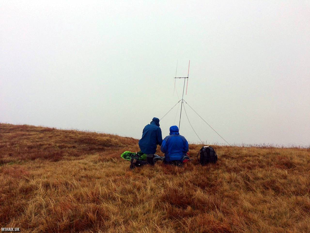
Radio Equipment: Baofeng UV5R, Diamond RH771.
Callsign Used: MW1HAX/P.
Contacts: 6 (2m FM).
Trip Notes
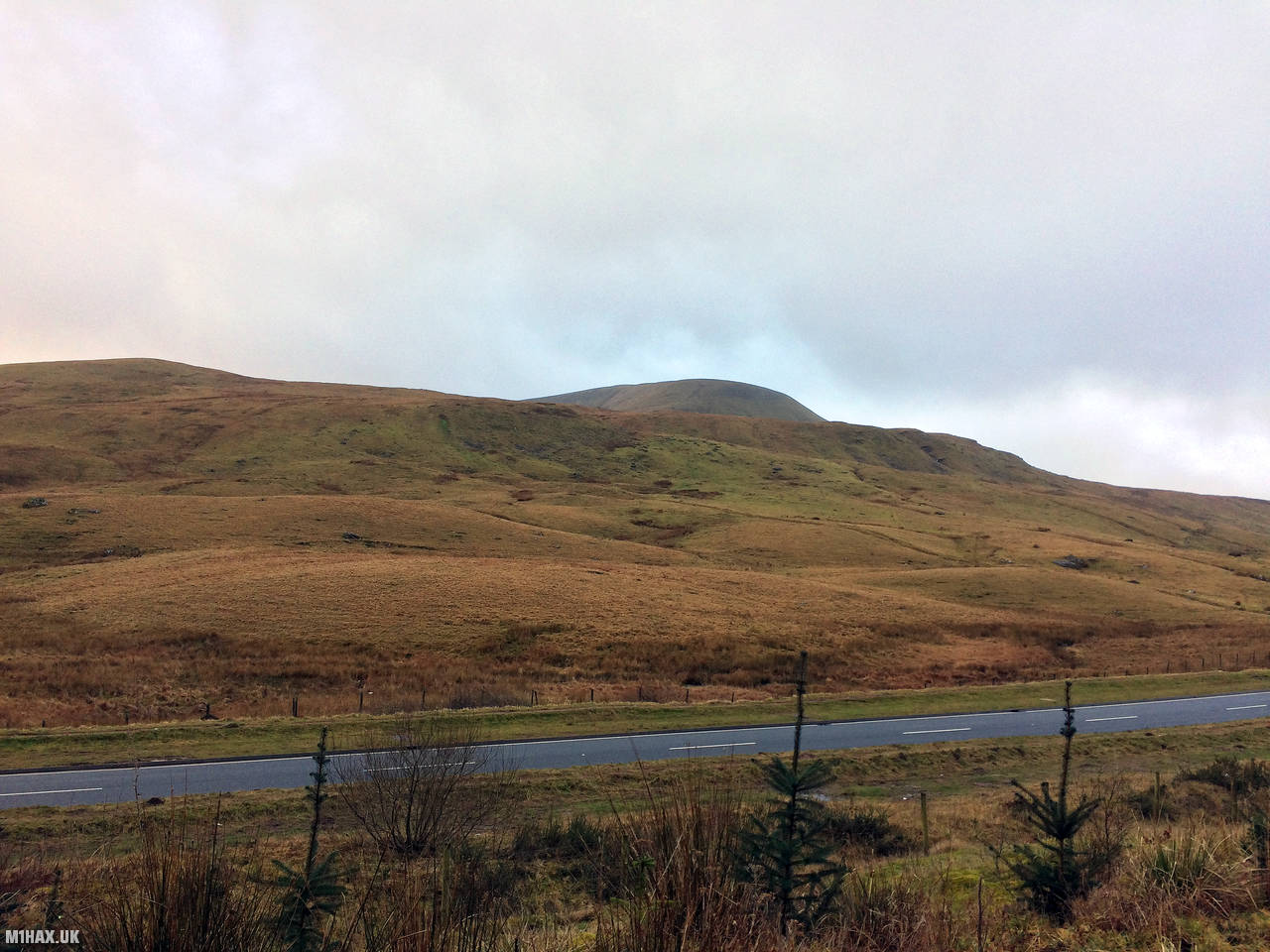
Fan Fawr is a mountain in the Welsh Brecon Beacons range. We took a route to the summit from the main road to the east (Storey Arms centre).
This was my first experience hiking with amateur radio equipment, marking my inaugural Summits on the Air activation.
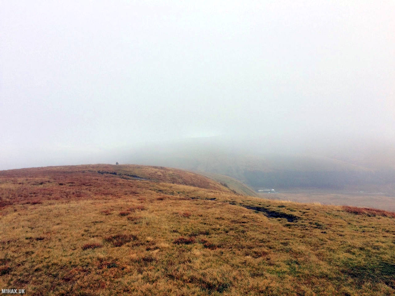
A relatively easy summit to activate, with faint grassy paths leading from the roadside parking directly to the summit. Some navigation abilities will be required due to the lack of obvious paths.
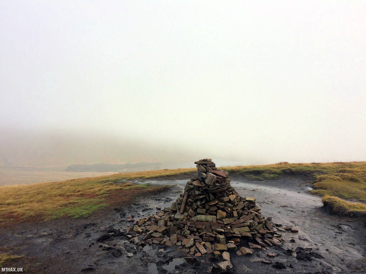
The summit activation zone is flat, grassy and spacious. A steep drop directly to the east of the summit offers good VHF take-off.
With a modest level of physical fitness, Fan Fawr can be easily combined with the neighbouring summit of Pen y Fan GW/SW-001.
Photos
Below are some photographs taken during my activation of Fan Fawr on Sunday 11th November, 2018.


Walking Route for Fan Fawr
The interactive map below shows my GPS track taken to the SOTA activation zone for Fan Fawr. The GW/SW-005 summit area is marked on the map with a blue pin icon.
You can download the route shown above as a GPX file suitable for use with most GPS devices. This file is provided for information only, to support your own walk planning and research (it may contain navigation errors, detours and/or safety hazards). The route downloads provided here are governed by the Creative Commons BY-NC-SA 4.0 licence.
Station Log
I logged the following 6 amateur radio contacts operating as MW1HAX/P from GW/SW-005 Fan Fawr on Sunday 11th November, 2018 (all times shown are UTC):
| Time | Callsign | Band | Mode | Notes |
|---|---|---|---|---|
| 12:00 | MW0XOT | 2m | FM | 4/3 |
| 12:03 | G4MZI | 2m | FM | 5/8 |
| 12:05 | MW1FJK | 2m | FM | 5/9 |
| 12:07 | GW4VPX | 2m | FM | 5/5 |
| 12:10 | 2W0FLW | 2m | FM | 5/9 |
| 12:12 | G0RQL | 2m | FM | 5/6 |
In the notes field I will usually log the other operator’s name and the signal report they provided. In accordance with the Summits on the Air rules, I do not make a log entry where a complete exchange of callsigns and signal reports was unsuccessful.
Additional Information
The following resources may be helpful to walkers, mountaineers and SOTA activators interested in Fan Fawr:
- Sotl.as Summit Page for GW/SW-005 Fan Fawr.
- Hill Bagging UK Summit Page for Fan Fawr.
- Google Maps Page for Fan Fawr.
- Wikipedia entry for Fan Fawr.
- 360° Panorama near summit of GW/SW-005 Fan Fawr.
If you found this content valuable, why not Buy Me a Coffee?