Fan Brycheiniog - GW/SW-003 SOTA (2019)

Summits on the Air Activation Report
Activation Date: Saturday 5th January, 2019.
Activator(s): Richard M1HAX, Andrew M1CJE.
Summit: Fan Brycheiniog, South Wales, Wales.
Summit ID: SOTA reference GW/SW-003 (8+3 points).
Summit Height: 803m elevation, 425m prominence.
Summit Location: Lat./Long. 51.88467, -3.70957. Maidenhead Grid IO81dv.
Distance: 11.5km travelled with 721m of ascent.
Difficulty: SAC Grade T2.(?)
Elapsed Time: 3hr 30m (including operating).
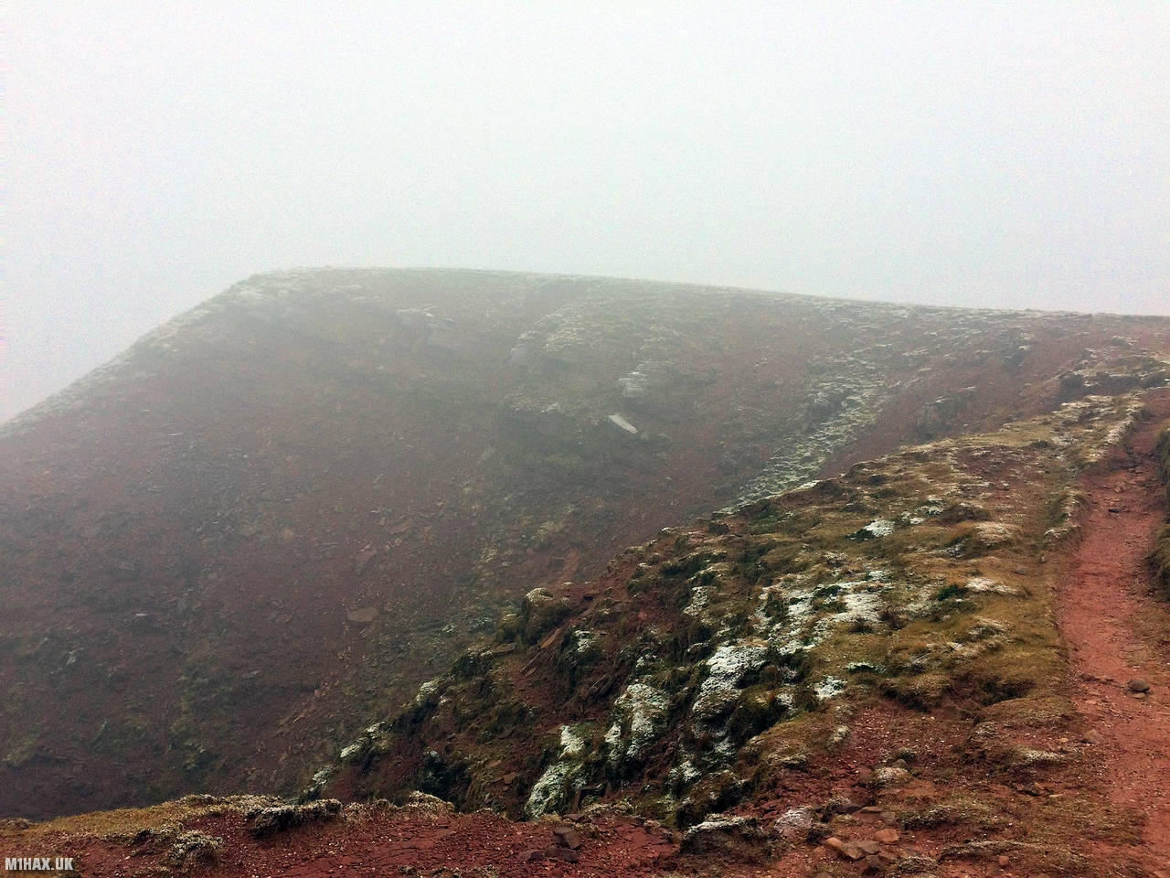
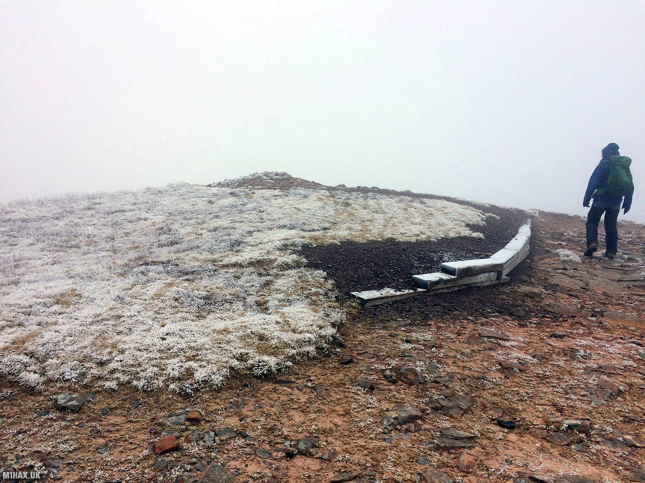
Weather: Feels like 2.2°C, 14 kph W wind, 99% humidity.
Radio Equipment: Yaesu FTM100D, MFJ-1714, Zippy 4200mAh 4S LiFePo4.
Callsign Used: MW1HAX/P.
Contacts: 10 (2m FM).
Trip Notes
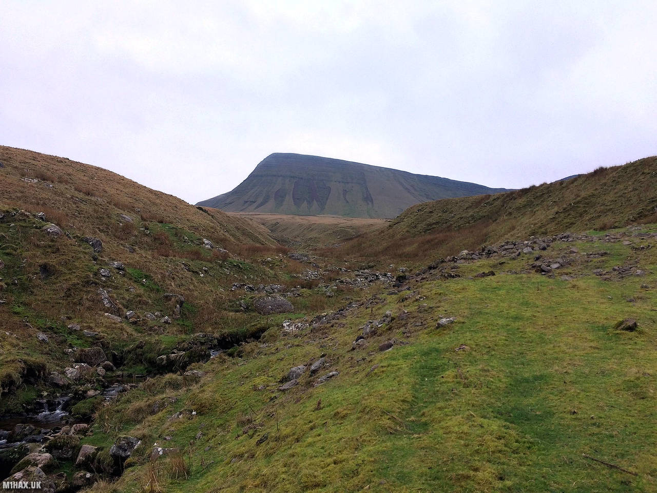
Fan Brycheiniog is an eight-point SOTA summit at the far western side of the Brecon Beacons range in south Wales.
There are a number of attractive route options of varying difficulties, from the north, east and south-east.
For this activation, Andrew and I approached from the north via a reservoir access road. There is a small gravel car park which is popular with walkers and typically fills up early in the day.
A short steep section of the path rises to the bwlch between Fan Brycheiniog and Picws Du. Whilst not of any real technical significance, this can be a good location to test the abilities of novice hill walkers.
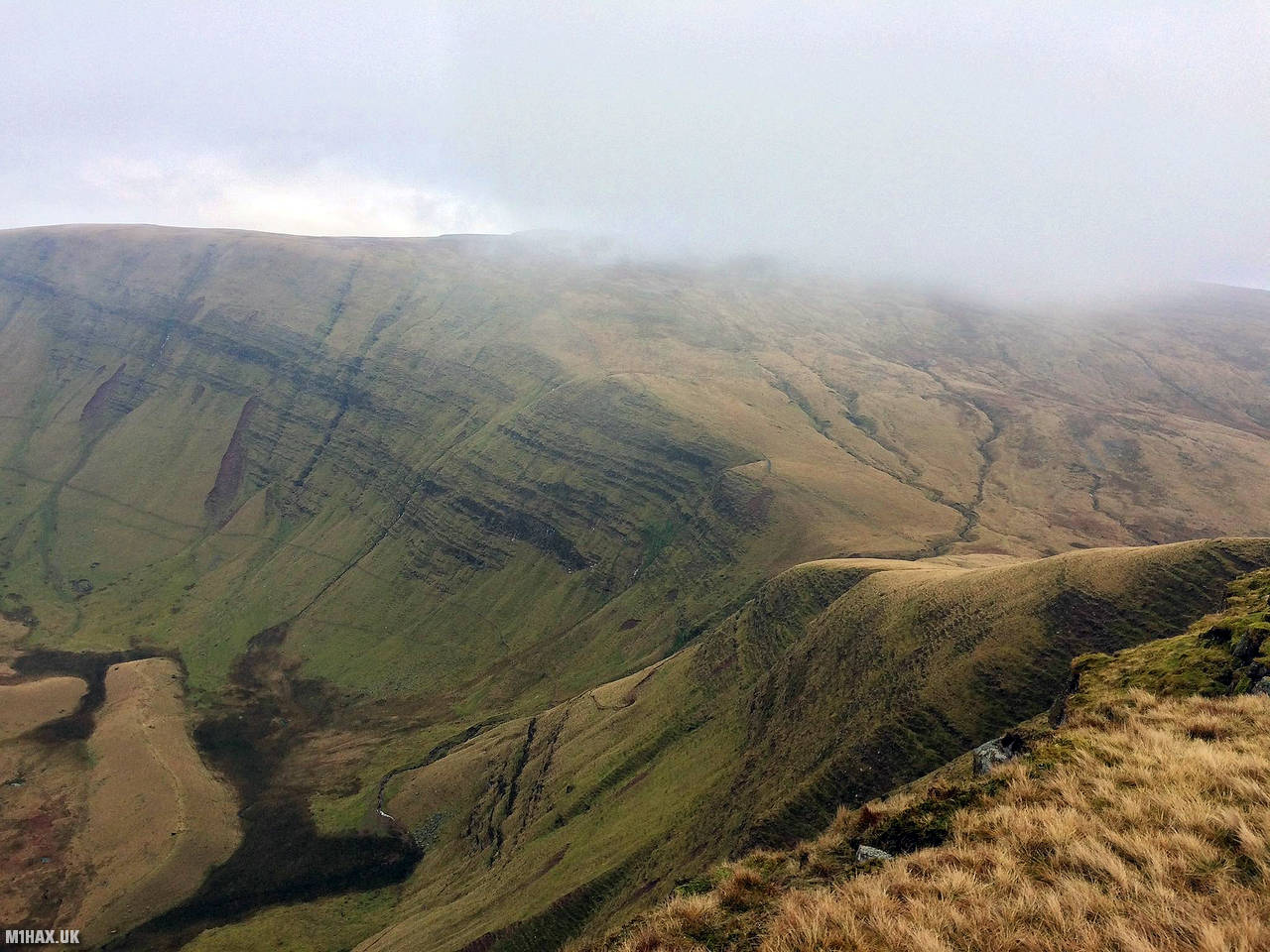
On the return leg, Waun Lefrith offers superb views across the reservoir on a clear day.
Photos
Below are some photographs taken during my activation of Fan Brycheiniog on Saturday 5th January, 2019.


Walking Route for Fan Brycheiniog
The interactive map below shows my GPS track taken to the SOTA activation zone for Fan Brycheiniog. The GW/SW-003 summit area is marked on the map with a blue pin icon.
You can download the route shown above as a GPX file suitable for use with most GPS devices. This file is provided for information only, to support your own walk planning and research (it may contain navigation errors, detours and/or safety hazards). The route downloads provided here are governed by the Creative Commons BY-NC-SA 4.0 licence.
Station Log
I logged the following 10 amateur radio contacts operating as MW1HAX/P from GW/SW-003 Fan Brycheiniog on Saturday 5th January, 2019 (all times shown are UTC):
| Time | Callsign | Band | Mode | Notes |
|---|---|---|---|---|
| 11:59 | 2W0FLW | 2m | FM | 5/9 |
| 12:00 | MW6IUT | 2m | FM | 5/9 |
| 12:01 | GW7MMG | 2m | FM | 5/9 |
| 12:02 | GW6OUD | 2m | FM | 5/5 |
| 12:03 | 2E0WPL | 2m | FM | 5/9 |
| 12:04 | 2E0MDJ | 2m | FM | 5/3 |
| 12:05 | G0LGS | 2m | FM | 4/3 |
| 12:06 | MW1CJE | 2m | FM | 5/9 |
| 12:07 | G8XYJ | 2m | FM | 5/2 |
| 12:08 | G8MIA | 2m | FM | 5/3 |
In the notes field I will usually log the other operator’s name and the signal report they provided. In accordance with the Summits on the Air rules, I do not make a log entry where a complete exchange of callsigns and signal reports was unsuccessful.
Additional Information
The following resources may be helpful to walkers, mountaineers and SOTA activators interested in Fan Brycheiniog:
- Sotl.as Summit Page for GW/SW-003 Fan Brycheiniog.
- Hill Bagging UK Summit Page for Fan Brycheiniog.
- Google Maps Page for Fan Brycheiniog.
- Wikipedia entry for Fan Brycheiniog.
- 360° Panorama near summit of GW/SW-003 Fan Brycheiniog.
If you found this content valuable, why not Buy Me a Coffee?