Mynydd Troed - GW/SW-009 SOTA (2019)

Summits on the Air Activation Report
Activation Date: Sunday 6th January, 2019.
Activator(s): Richard M1HAX, Andrew M1CJE, Peter M6XPE.
Summit: Mynydd Troed, South Wales, Wales.
Summit ID: SOTA reference GW/SW-009 (4+3 points).
Summit Height: 609m elevation, 286m prominence.
Summit Location: Lat./Long. 51.95530, -3.21554. Maidenhead Grid IO81jw.
Distance: 2.4km travelled with 264m of ascent.
Difficulty: SAC Grade T1.(?)
Elapsed Time: 1hr 20m (including operating).
Weather: Feels like 8.5°C, 10 kph S wind, 76% humidity.
Radio Equipment: Yaesu FTM100D, MFJ-1714, Zippy 4200mAh 4S LiFePo4.
Callsign Used: MW1HAX/P.
Contacts: 4 (2m FM).
Trip Notes
Short and steep, Mynydd Troed is a good testing ground for novice walkers, or a quick add-on summit for experienced activators looking to bag multiple summits in a day.
There is a small amount of layby parking at Cockit Hill which can be accessed from either side of the mountain range. Whilst there is limited parking, the turnover of vehicles is usually fairly rapid due to the small size of the adjacent mountains.
For one of the smaller SOTA summits in the area, Mynydd Troed has good VHF take-off to the north and east. Grassy divots on the summit provide some natural shelter from the elements.
Andrew and I combined this summit with the neighbouring Mynydd Llangorse - a lower altitude but more distant summit from Cockit Hill.
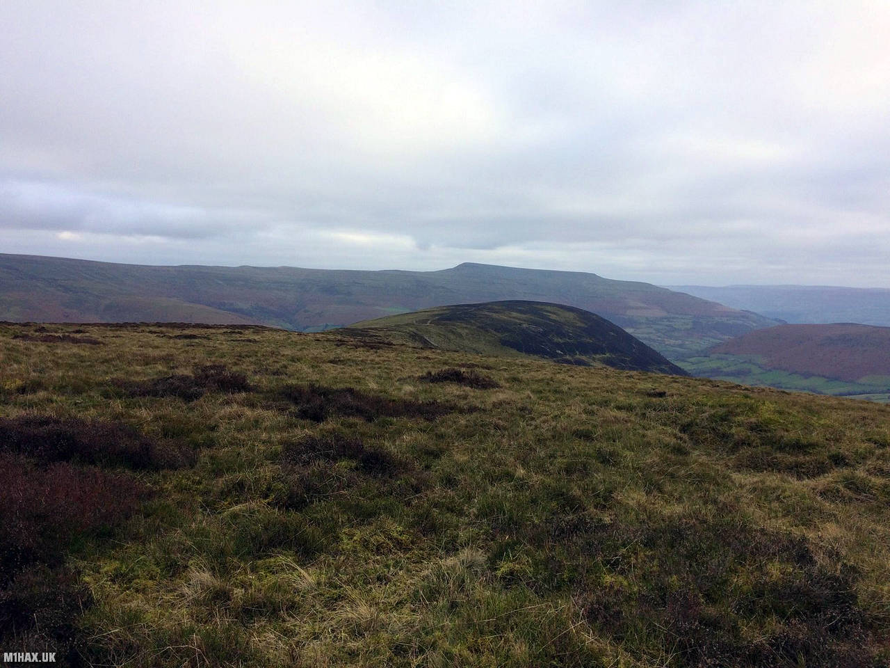
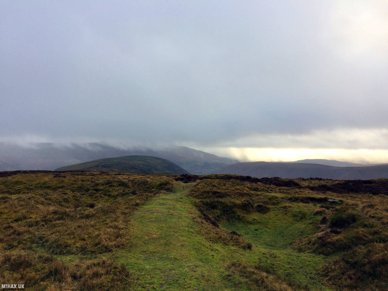
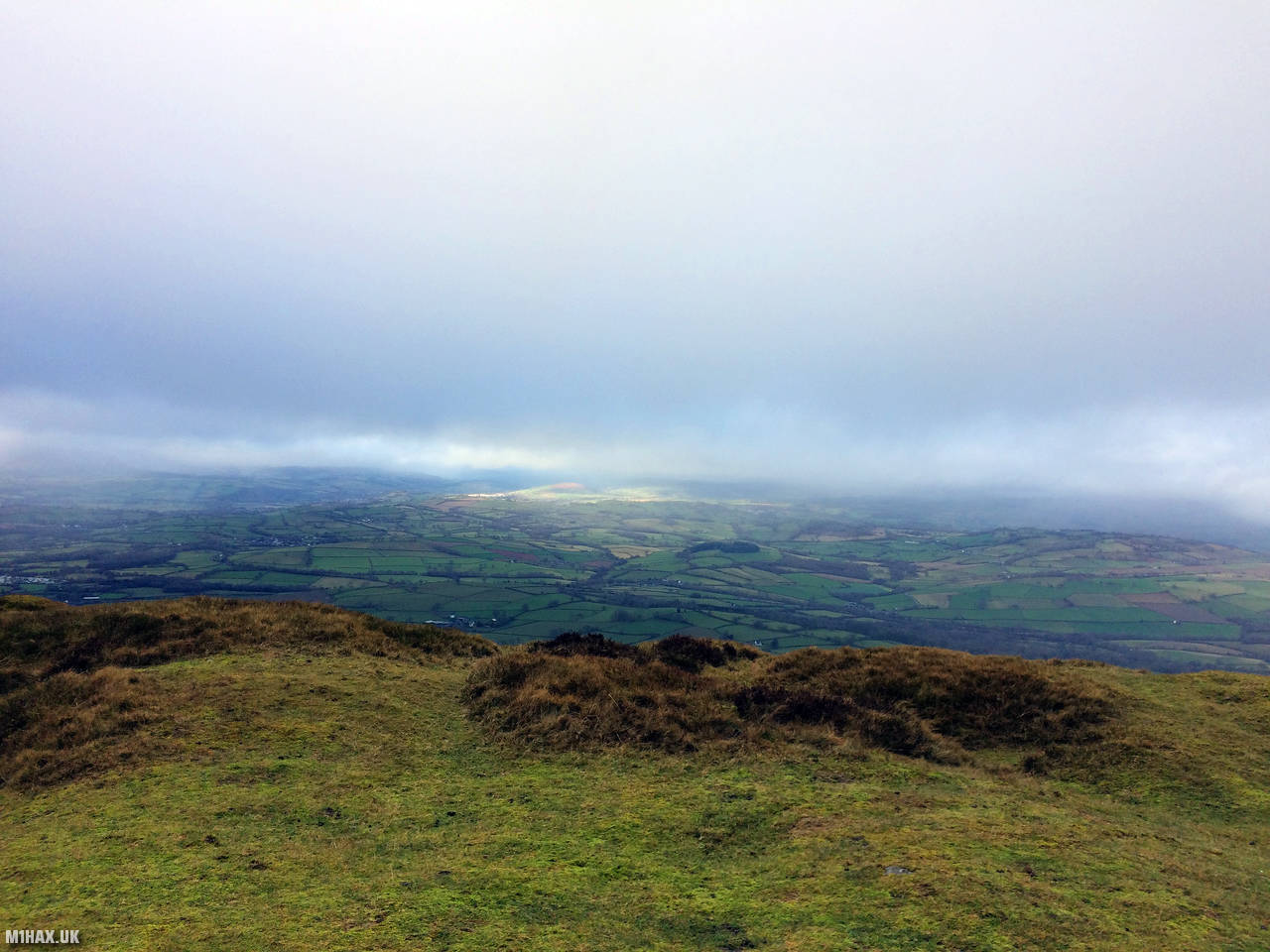
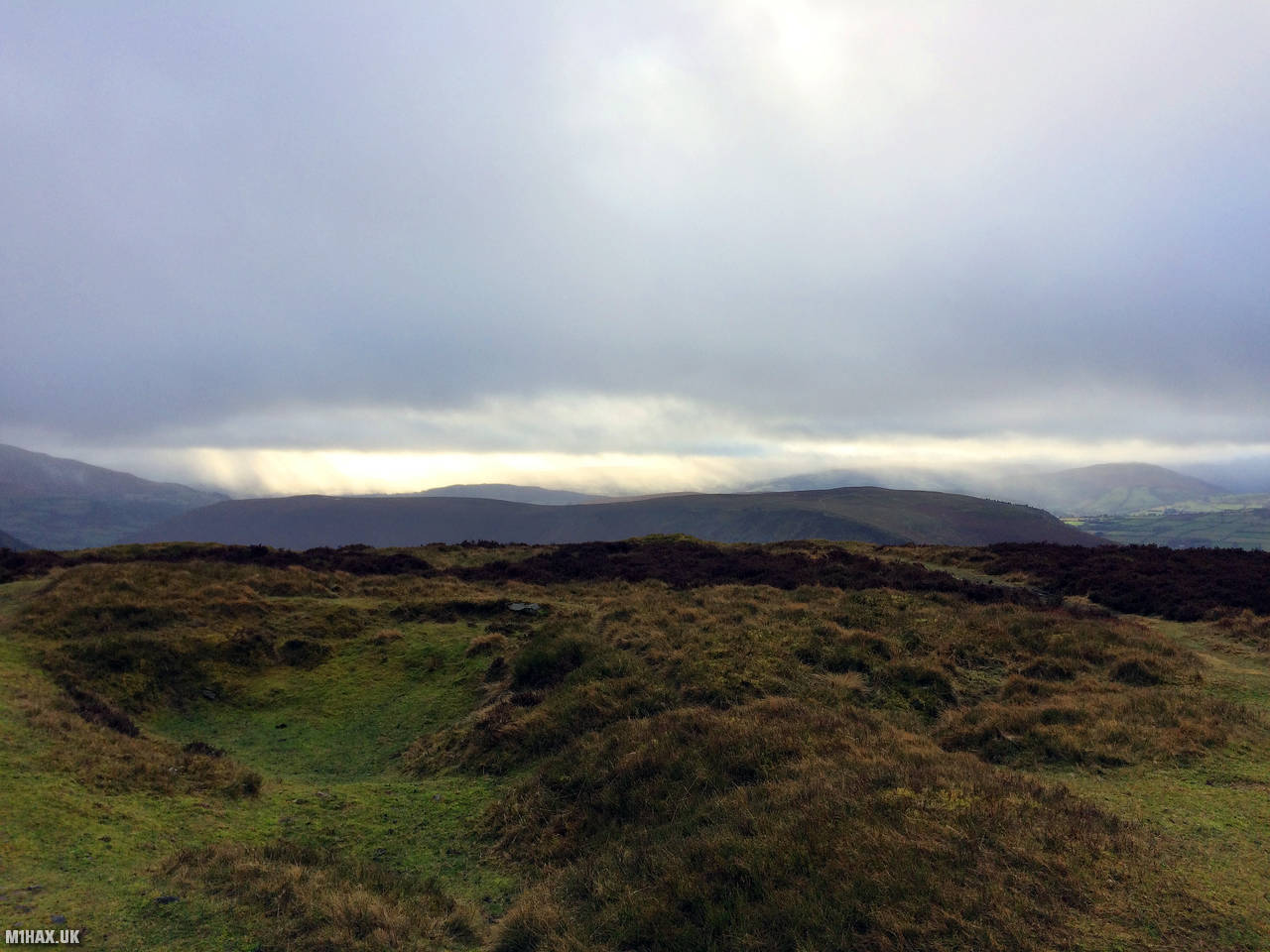
Photos
Below are some photographs taken during my activation of Mynydd Troed on Sunday 6th January, 2019.


Walking Route for Mynydd Troed
The interactive map below shows my GPS track taken to the SOTA activation zone for Mynydd Troed. The GW/SW-009 summit area is marked on the map with a blue pin icon.
You can download the route shown above as a GPX file suitable for use with most GPS devices. This file is provided for information only, to support your own walk planning and research (it may contain navigation errors, detours and/or safety hazards). The route downloads provided here are governed by the Creative Commons BY-NC-SA 4.0 licence.
Station Log
I logged the following 4 amateur radio contacts operating as MW1HAX/P from GW/SW-009 Mynydd Troed on Sunday 6th January, 2019 (all times shown are UTC):
| Time | Callsign | Band | Mode | Notes |
|---|---|---|---|---|
| 13:42 | MW0XOT | 2m | FM | 5/8 |
| 13:43 | GW0PLP | 2m | FM | 5/1 |
| 13:44 | G8CMU | 2m | FM | 5/9 |
| 13:45 | MW0LGE/M | 2m | FM | 5/1 |
In the notes field I will usually log the other operator’s name and the signal report they provided. In accordance with the Summits on the Air rules, I do not make a log entry where a complete exchange of callsigns and signal reports was unsuccessful.
Additional Information
The following resources may be helpful to walkers, mountaineers and SOTA activators interested in Mynydd Troed:
- Sotl.as Summit Page for GW/SW-009 Mynydd Troed.
- Hill Bagging UK Summit Page for Mynydd Troed.
- Google Maps Page for Mynydd Troed.
- Wikipedia entry for Mynydd Troed.
- 360° Panorama near summit of GW/SW-009 Mynydd Troed.
If you found this content valuable, why not Buy Me a Coffee?