Pen y Fan - GW/SW-001 SOTA (2019)

Summits on the Air Activation Report
Activation Date: Tuesday 1st January, 2019.
Activator(s): Richard M1HAX, Andrew M1CJE.
Summit: Pen y Fan, South Wales, Wales.
Summit ID: SOTA reference GW/SW-001 (8+3 points).
Summit Height: 886m elevation, 672m prominence.
Summit Location: Lat./Long. 51.88403, -3.43677. Maidenhead Grid IO81gv.
Distance: 7.7km travelled with 613m of ascent.
Difficulty: SAC Grade T1.(?)
Elapsed Time: 2hr 30m (including operating).
Weather: Feels like 7.2°C, 7 kph W wind, 99% humidity.
Radio Equipment: Yaesu FTM100D, MFJ-1714, Zippy 4200mAh 4S LiFePo4.
Callsign Used: MW1HAX/P.
Contacts: 14 (2m FM).
Trip Notes
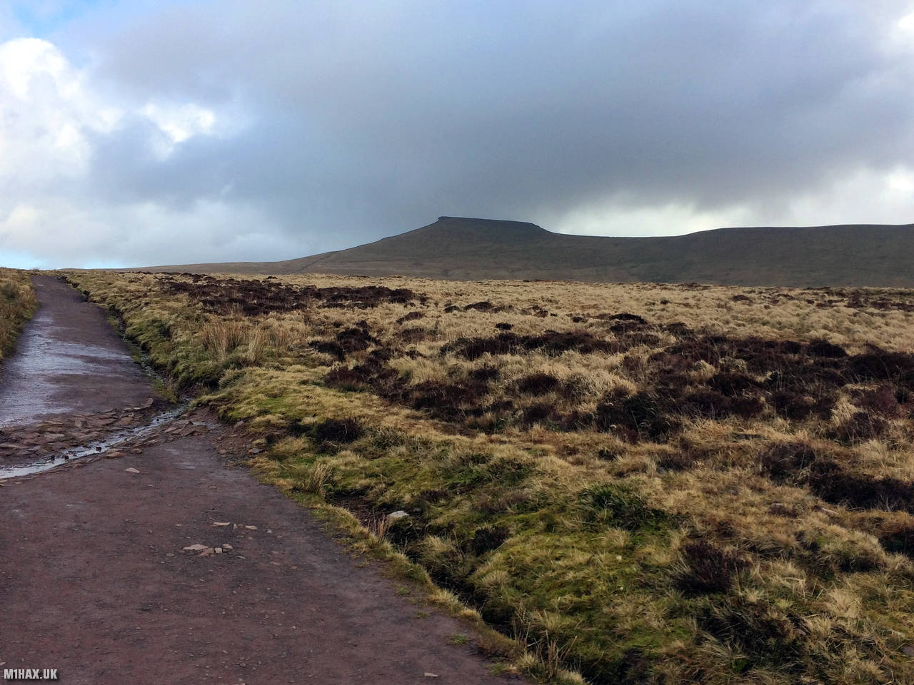
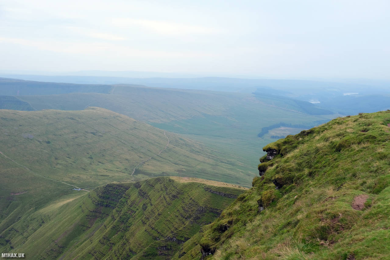
As the largest mountain summit in South Wales, Pen y Fan is a very popular hill, attracting tourists from many miles away.
There are several routes to the top; for this activation Andrew and I took a circular route from the main road to the west. A paved path runs from the road to the summit, making this is trivially easy hill for competent hill walkers.
The summit area is quite spacious but HF activators looking to erect large aerials should expect a crowded, busy summit, especially during weekends.
Due to a relatively high prominence, this can be a good summit to work VHF/UHF DX stations or chase summit to summit contacts.
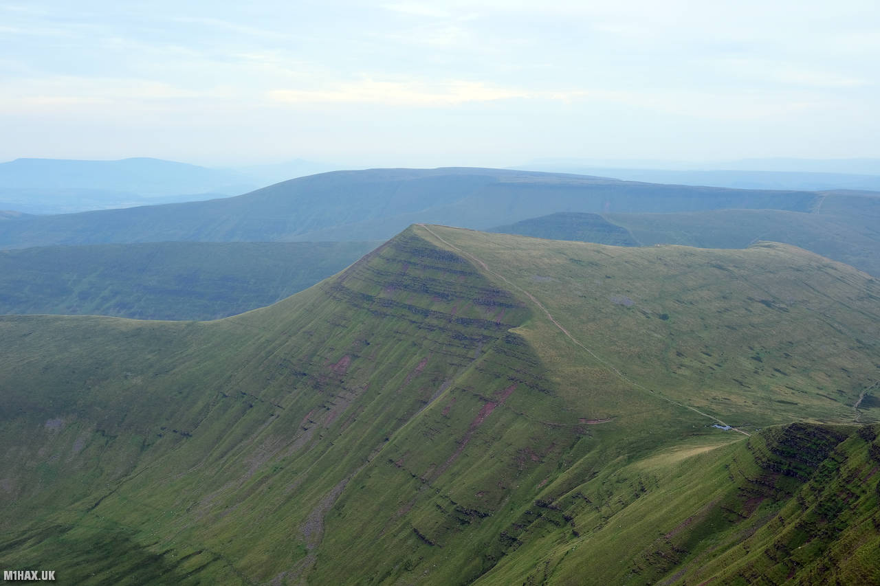
A summit of Pen y Fan can be extended by looping in the nearby summits of Cribyn, Fan y Big, Cefn Cul and Craig-Gwaun-Taf. Enthusiasts may wish to investigate combining Pen y Fan with the SOTA summits of Waun Rydd and Fan Fawr for a big day out.
Photos
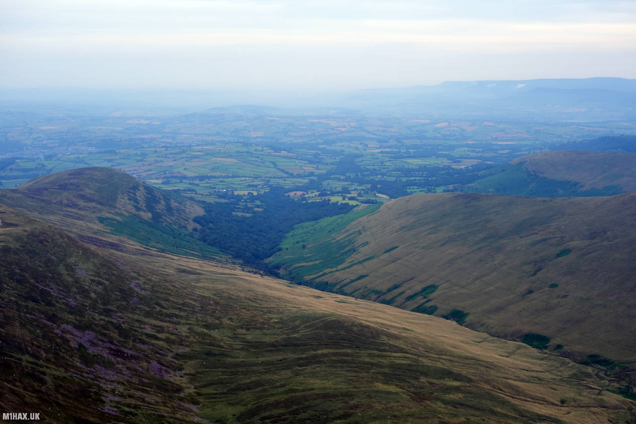
Below are some photographs taken during my activation of Pen y Fan on Tuesday 1st January, 2019.


Walking Route for Pen y Fan
The interactive map below shows my GPS track taken to the SOTA activation zone for Pen y Fan. The GW/SW-001 summit area is marked on the map with a blue pin icon.
You can download the route shown above as a GPX file suitable for use with most GPS devices. This file is provided for information only, to support your own walk planning and research (it may contain navigation errors, detours and/or safety hazards). The route downloads provided here are governed by the Creative Commons BY-NC-SA 4.0 licence.
Station Log
I logged the following 14 amateur radio contacts operating as MW1HAX/P from GW/SW-001 Pen y Fan on Tuesday 1st January, 2019 (all times shown are UTC):
| Time | Callsign | Band | Mode | Notes |
|---|---|---|---|---|
| 13:23 | GW4VPX/P | 2m | FM | 5/9, S2S GW/MW-011 |
| 13:23 | 2E0MYJ | 2m | FM | 5/9 |
| 13:24 | GW4HQB/P | 2m | FM | 5/9, S2S GW/MW-002 |
| 13:24 | 2E0RYR | 2m | FM | 5/9 |
| 13:25 | G0LGS | 2m | FM | 5/9 |
| 13:25 | MW6IUT | 2m | FM | 5/9 |
| 13:26 | GW0PLP | 2m | FM | 5/9 |
| 13:26 | GW4TQD | 2m | FM | 5/9 |
| 13:27 | GW7MMG | 2m | FM | 5/9 |
| 13:27 | M0NTG | 2m | FM | 5/8 |
| 13:28 | G0RMG | 2m | FM | 5/7 |
| 13:29 | GW1MNC/M | 2m | FM | 5/9 |
| 13:30 | M0TPG | 2m | FM | 5/9 |
| 13:31 | M0VSP | 2m | FM | 5/5, S2S G/CE-004 |
In the notes field I will usually log the other operator’s name and the signal report they provided. In accordance with the Summits on the Air rules, I do not make a log entry where a complete exchange of callsigns and signal reports was unsuccessful.
Additional Information
The following resources may be helpful to walkers, mountaineers and SOTA activators interested in Pen y Fan:
- Sotl.as Summit Page for GW/SW-001 Pen y Fan.
- Hill Bagging UK Summit Page for Pen y Fan.
- Google Maps Page for Pen y Fan.
- Wikipedia entry for Pen y Fan.
If you found this content valuable, why not Buy Me a Coffee?