Waun Fach - GW/SW-002 SOTA (2019)

Summits on the Air Activation Report
Activation Date: Sunday 6th January, 2019.
Activator(s): Richard M1HAX, Andrew M1CJE, Peter M6XPE.
Summit: Waun Fach, South Wales, Wales.
Summit ID: SOTA reference GW/SW-002 (8+3 points).
Summit Height: 811m elevation, 622m prominence.
Summit Location: Lat./Long. 51.96279, -3.14319. Maidenhead Grid IO81kx.
Distance: 8.2km travelled with 533m of ascent.
Difficulty: SAC Grade T2.(?)
Elapsed Time: 2hr 10m (including operating).
Weather: Feels like 8.5°C, 10 kph S wind, 76% humidity.
Radio Equipment: Yaesu FTM100D, MFJ-1714, Zippy 4200mAh 4S LiFePo4.
Callsign Used: MW1HAX/P.
Contacts: 5 (2m FM).
Trip Notes
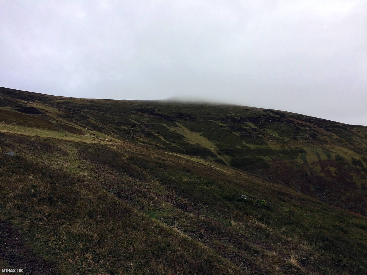
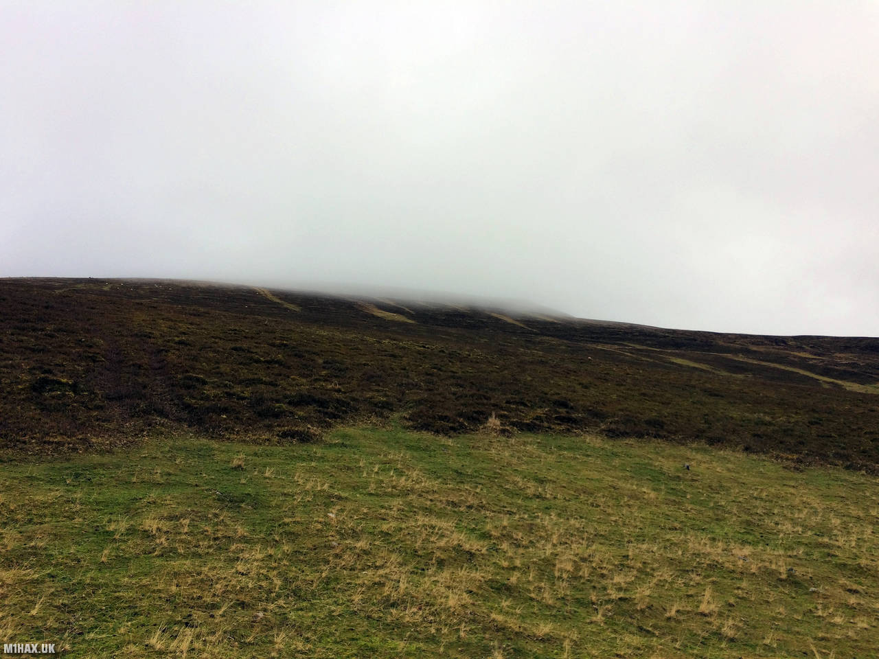
With the route presented here, Waun Fach feels like a big mountain adventure, especially in misty weather. It is in fact, a relatively easy eight-point SOTA outing which can be completed within a couple of hours.
Faint grassy paths lead up the hillside to a more clearly defined track to the summit.
The summit is spacious and grassy, with some small stone structures suitable for sitting on while operating or resting. It is however invariably a windy summit which is wet underfoot.
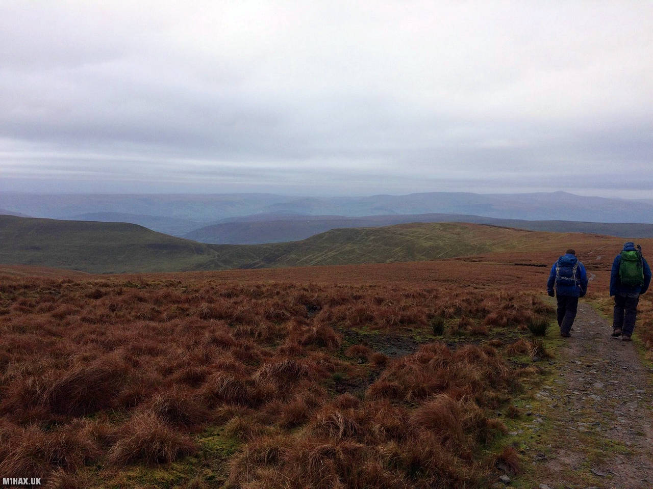
Waun Fach can be combined with the peaks of Mynydd Troed and Mynydd Llangorse, either with a little driving or by creating a full day hiking circuit.
Photos
Below are some photographs taken during my activation of Waun Fach on Sunday 6th January, 2019.


Walking Route for Waun Fach
The interactive map below shows my GPS track taken to the SOTA activation zone for Waun Fach. The GW/SW-002 summit area is marked on the map with a blue pin icon.
You can download the route shown above as a GPX file suitable for use with most GPS devices. This file is provided for information only, to support your own walk planning and research (it may contain navigation errors, detours and/or safety hazards). The route downloads provided here are governed by the Creative Commons BY-NC-SA 4.0 licence.
Station Log
I logged the following 5 amateur radio contacts operating as MW1HAX/P from GW/SW-002 Waun Fach on Sunday 6th January, 2019 (all times shown are UTC):
| Time | Callsign | Band | Mode | Notes |
|---|---|---|---|---|
| 11:25 | MW0XOT | 2m | FM | 5/8 |
| 11:26 | GW0RUD | 2m | FM | 5/5 |
| 11:27 | 2E0RYR | 2m | FM | 5/9 |
| 11:28 | G0LGS/P | 2m | FM | 5/5, S2S G/CE-003 |
| 11:29 | M6BWA/P | 2m | FM | 5/9, S2S GW/SW-014 |
In the notes field I will usually log the other operator’s name and the signal report they provided. In accordance with the Summits on the Air rules, I do not make a log entry where a complete exchange of callsigns and signal reports was unsuccessful.
Additional Information
The following resources may be helpful to walkers, mountaineers and SOTA activators interested in Waun Fach:
- Sotl.as Summit Page for GW/SW-002 Waun Fach.
- Hill Bagging UK Summit Page for Waun Fach.
- Google Maps Page for Waun Fach.
- Wikipedia entry for Waun Fach.
- 360° Panorama near summit of GW/SW-002 Waun Fach.
If you found this content valuable, why not Buy Me a Coffee?