Tryfan - GW/NW-006 SOTA (2019)

Summits on the Air Activation Report
Activation Date: Sunday 17th February, 2019.
Activator(s): Richard M1HAX, Andrew M1CJE.
Summit: Tryfan, North Wales, Wales.
Summit ID: SOTA reference GW/NW-006 (8+3 points).
Summit Height: 918m elevation, 191m prominence.
Summit Location: Lat./Long. 53.11490, -3.99749. Maidenhead Grid IO83ac.
Distance: 4.5km travelled with 810m of ascent.
Difficulty: SAC Grade T4 / Grade 1 Scramble.(?)
Elapsed Time: 5hr 0m (including operating).
Weather: Feels like 5.6°C, 63 kph SW wind, 86% humidity.
Radio Equipment: Yaesu FTM100D, MFJ-1714, Zippy 4200mAh 4S LiFePo4.
Callsign Used: MW1HAX/P.
Contacts: 4 (2m FM).
Trip Notes
We began our journey at one of the laybys on the A5 main road and took the north ridge route to reach the summit.
The north ridge route is considered one of the most popular grade 1 scrambling routes in the UK, and possibly the most popular of them all.
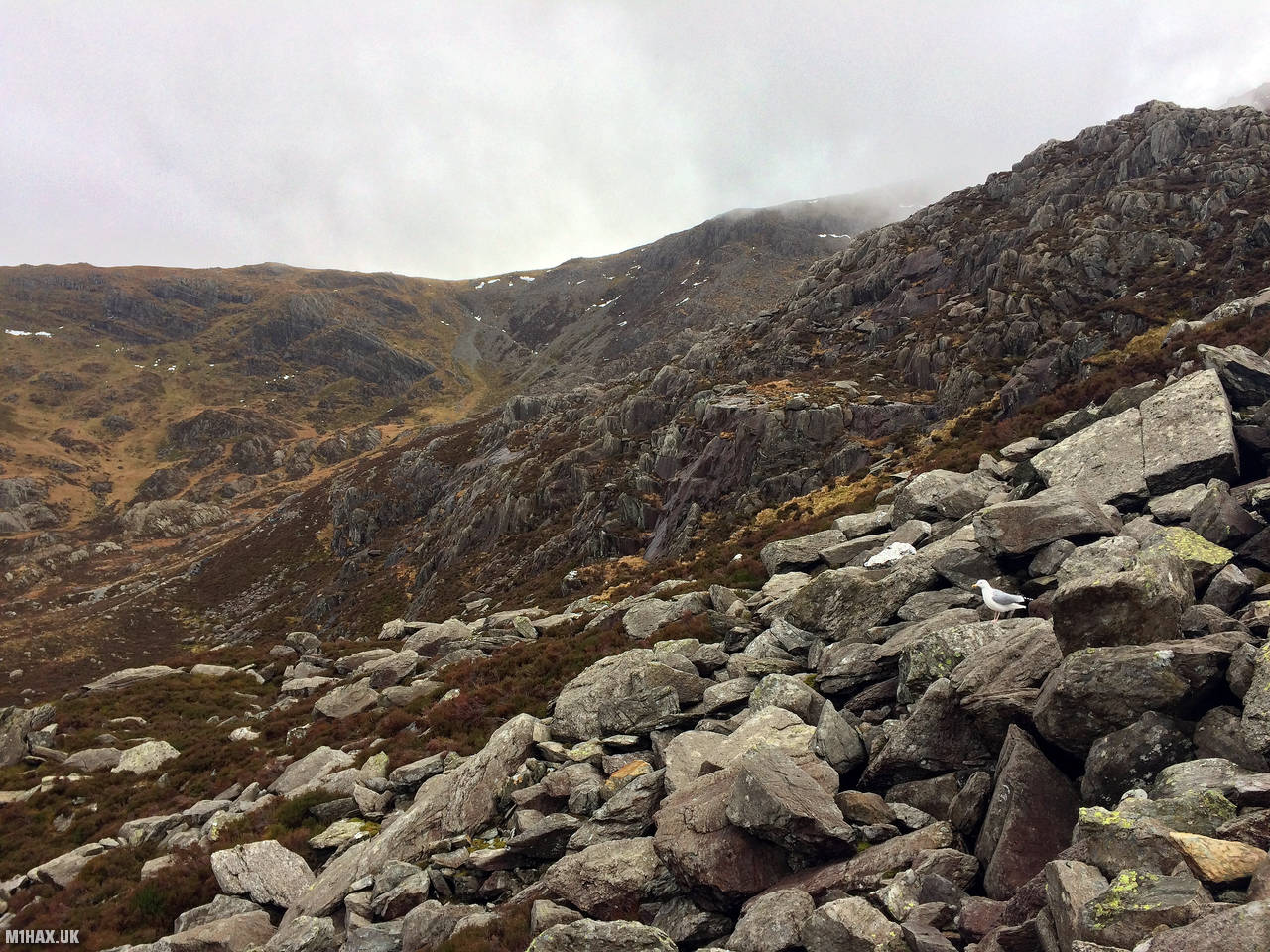
The weather was very windy and wet, which made the ascent more challenging than it would have been under better conditions.
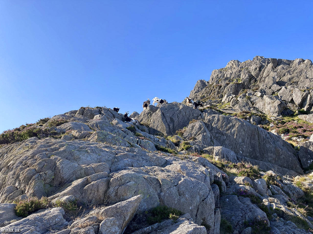
I was only able to take a few photos on this trip due to the inclement weather. I’ve included a summertime photo of Tryfan below, which shows the rocky terrain of the mountain.
Once we reached the summit, I quickly obtained my four required radio contacts and let Andrew handle the pile-up of chasers trying to reach us.
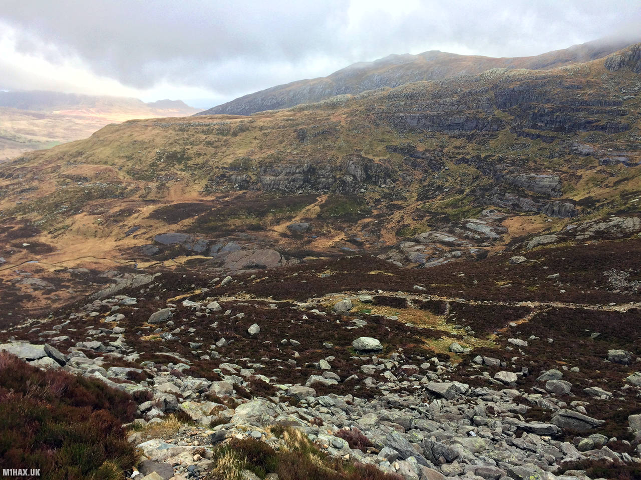
We then descended the south ridge to Bwlch Tryfan and doubled back along the valley to the main road to complete our journey.
This route across Tryfan is a fantastic way to experience mountaineering. However, it’s important to come prepared with the proper equipment and experience. Before you set out, make sure to research the route and plan your day in order to ensure a safe and enjoyable trip.
Photos
Below are some photographs taken during my activation of Tryfan on Sunday 17th February, 2019.


Walking Route for Tryfan
The interactive map below shows my GPS track taken to the SOTA activation zone for Tryfan. The GW/NW-006 summit area is marked on the map with a blue pin icon.
You can download the route shown above as a GPX file suitable for use with most GPS devices. This file is provided for information only, to support your own walk planning and research (it may contain navigation errors, detours and/or safety hazards). The route downloads provided here are governed by the Creative Commons BY-NC-SA 4.0 licence.
Station Log
I logged the following 4 amateur radio contacts operating as MW1HAX/P from GW/NW-006 Tryfan on Sunday 17th February, 2019 (all times shown are UTC):
| Time | Callsign | Band | Mode | Notes |
|---|---|---|---|---|
| 12:00 | G4WSB/P | 2m | FM | 5/9, S2S G/WB-003 |
| 12:02 | GW4VPX | 2m | FM | 5/5 |
| 12:05 | MW0ISC | 2m | FM | 5/9 |
| 12:07 | MW1CFA/M | 2m | FM | 5/9 |
In the notes field I will usually log the other operator’s name and the signal report they provided. In accordance with the Summits on the Air rules, I do not make a log entry where a complete exchange of callsigns and signal reports was unsuccessful.
Additional Information
The following resources may be helpful to walkers, mountaineers and SOTA activators interested in Tryfan:
- Sotl.as Summit Page for GW/NW-006 Tryfan.
- Hill Bagging UK Summit Page for Tryfan.
- Google Maps Page for Tryfan.
- Wikipedia entry for Tryfan.
- 360° Panorama near summit of GW/NW-006 Tryfan.
If you found this content valuable, why not Buy Me a Coffee?