Y Lliwedd - GW/NW-008 SOTA (2019)

Summits on the Air Activation Report
Activation Date: Saturday 2nd February, 2019.
Activator(s): Richard M1HAX, Andrew M1CJE, Peter M6XPE.
Summit: Y Lliwedd, North Wales, Wales.
Summit ID: SOTA reference GW/NW-008 (8+3 points).
Summit Height: 898m elevation, 154m prominence.
Summit Location: Lat./Long. 53.05948, -4.05705. Maidenhead Grid IO73xb.
Also Activated: GW/NW-001.
Distance: 12.0km travelled with 1272m of ascent.
Difficulty: Winter Grade I.
Elapsed Time: 8hr 30m (incl. operating and other summit(s) on the same hike).
Weather: Feels like -1.1°C, 17 kph N wind, 66% humidity, snow/ice.
Radio Equipment: Yaesu FTM100D, MFJ-1714, Zippy 4200mAh 4S LiFePo4.
Callsign Used: MW1HAX.
Contacts: 4 (2m FM).
Trip Notes
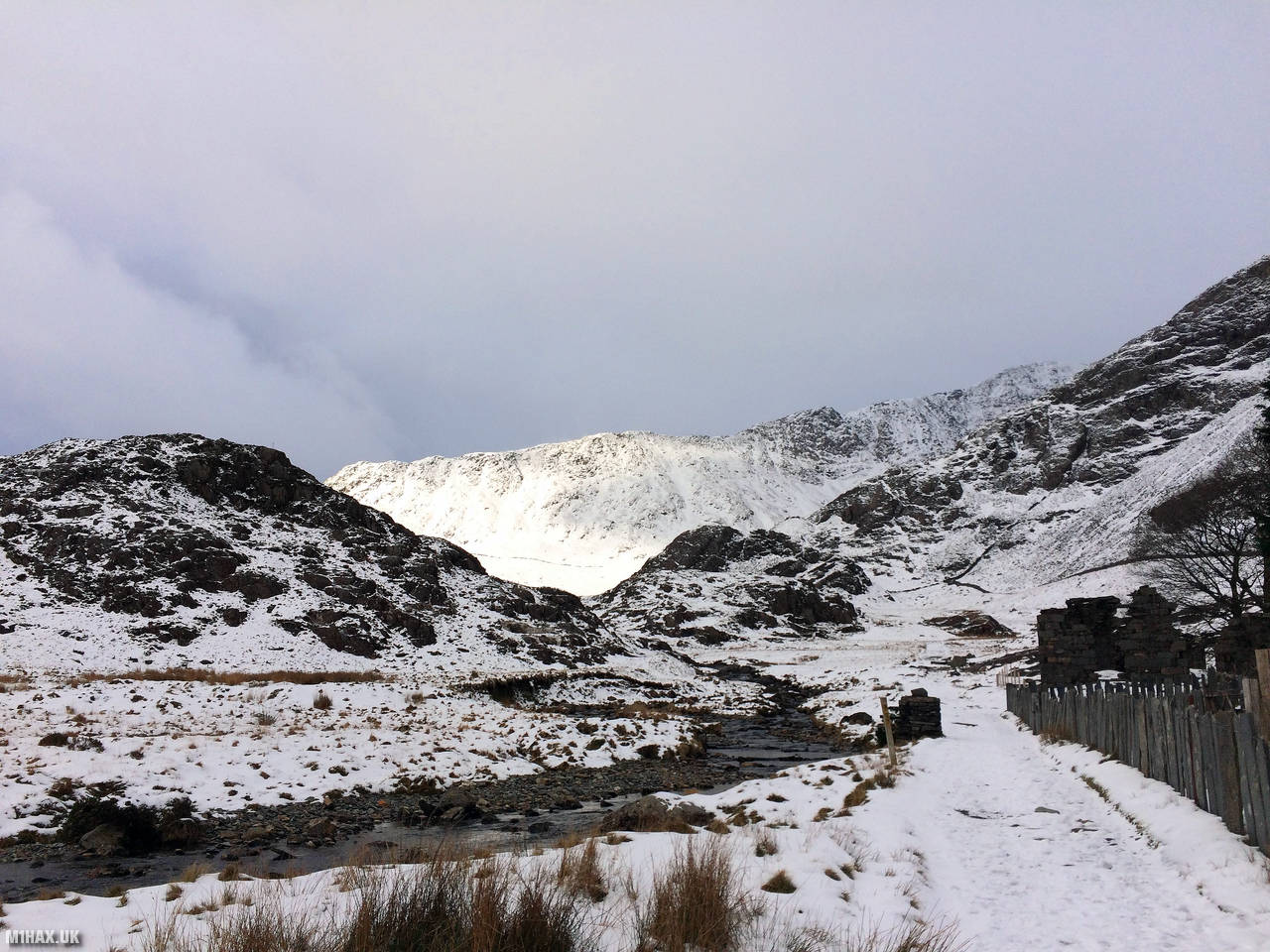
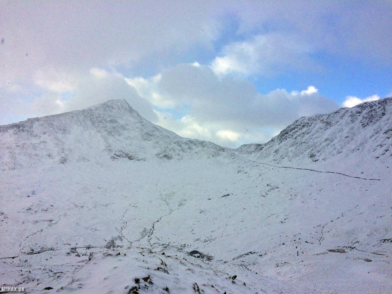
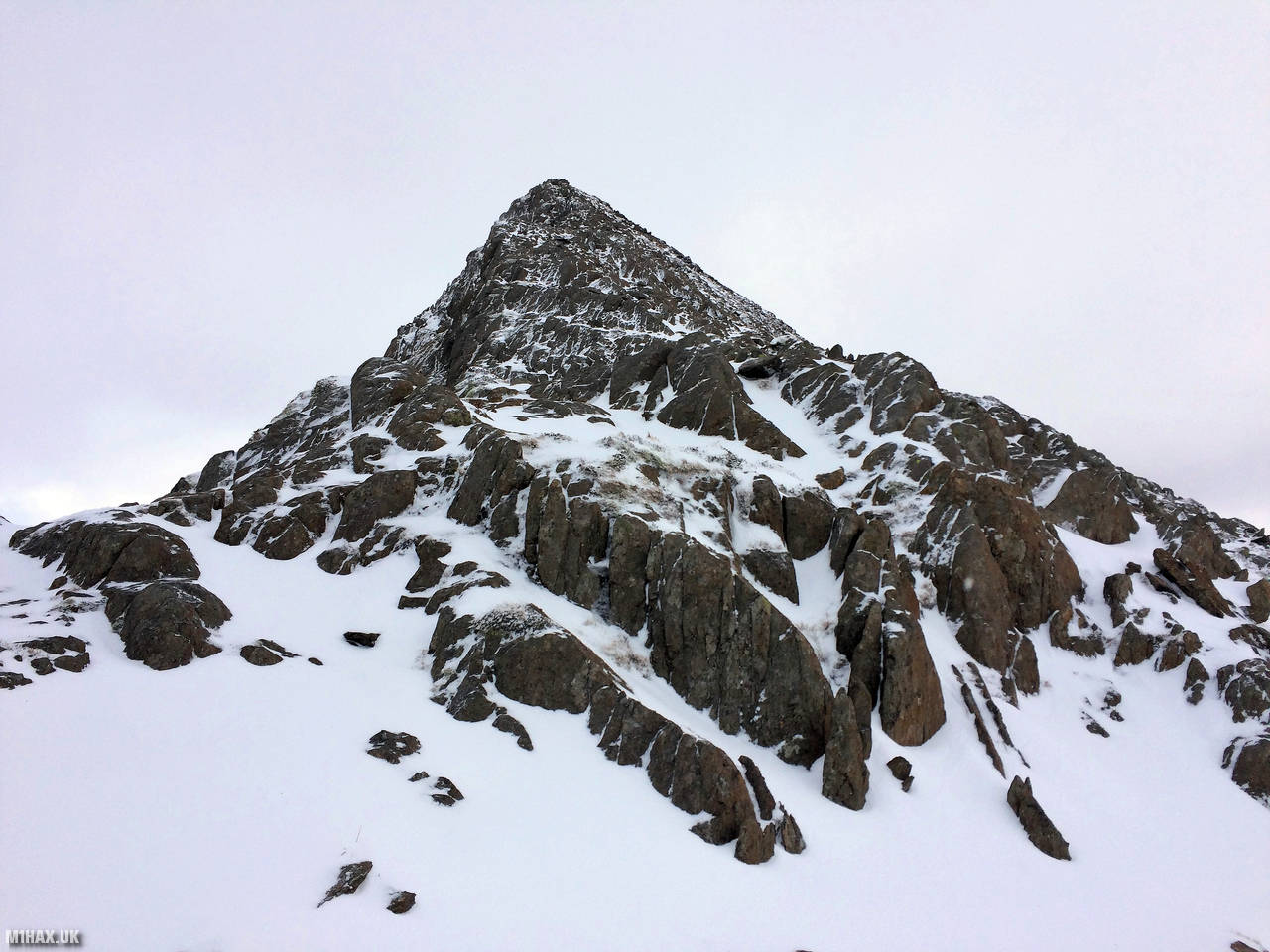
En-route to activating the summit of GW/NW-001 via the Watkin path, we took a small detour to the eight-point summit of Y Lliwedd. Only a few metres of prominence qualify this majestic pyramid-like peak as a Summits on the Air mountain.
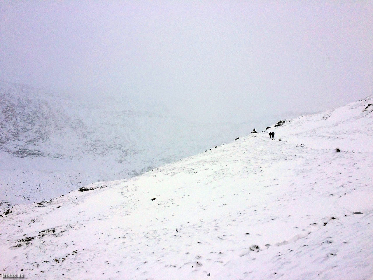
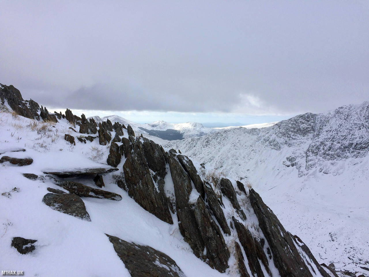
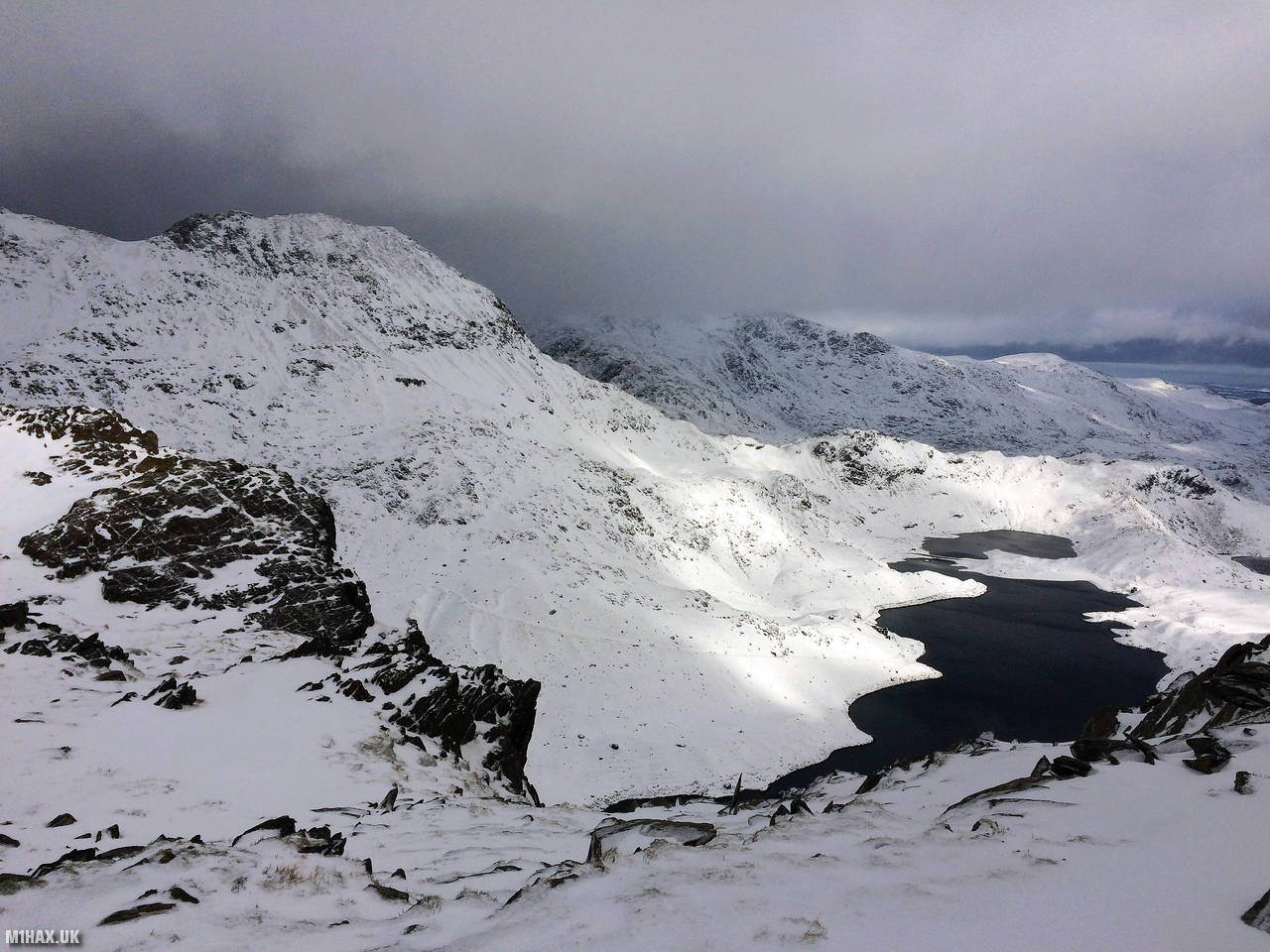
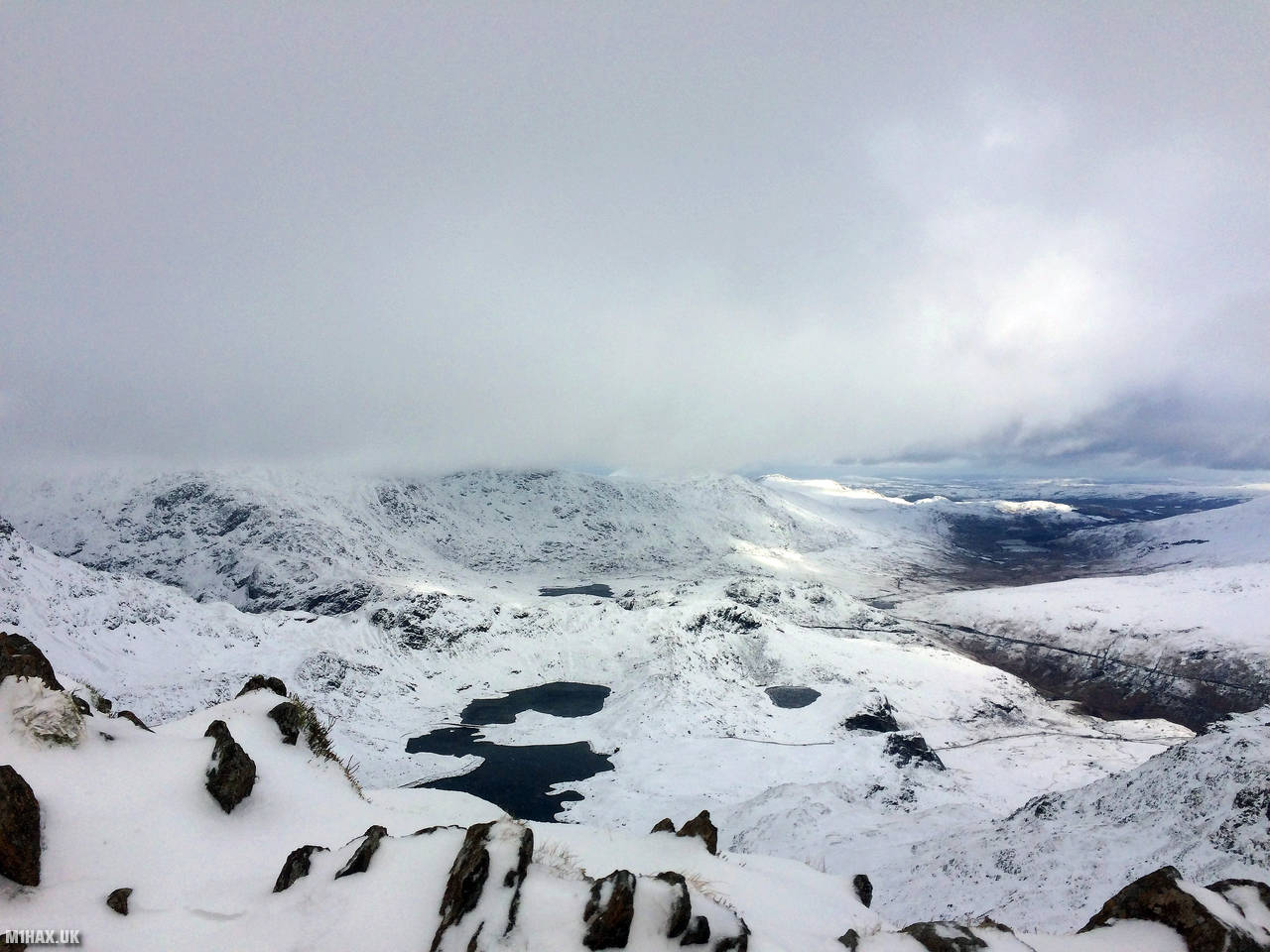
In summer conditions, the route to the summit from Bwlch Ciliau would be considered an easy Grade 1 scramble. A steep drop to Llyn Llydaw on the left-hand side of the ridge keeps things interesting. However, we were climbing in winter conditions, and I was glad to have a walking axe and crampons on hand.
In poor weather, navigation towards the summit must be precise, to manage the steep drop - this is not a novice friendly mountain.
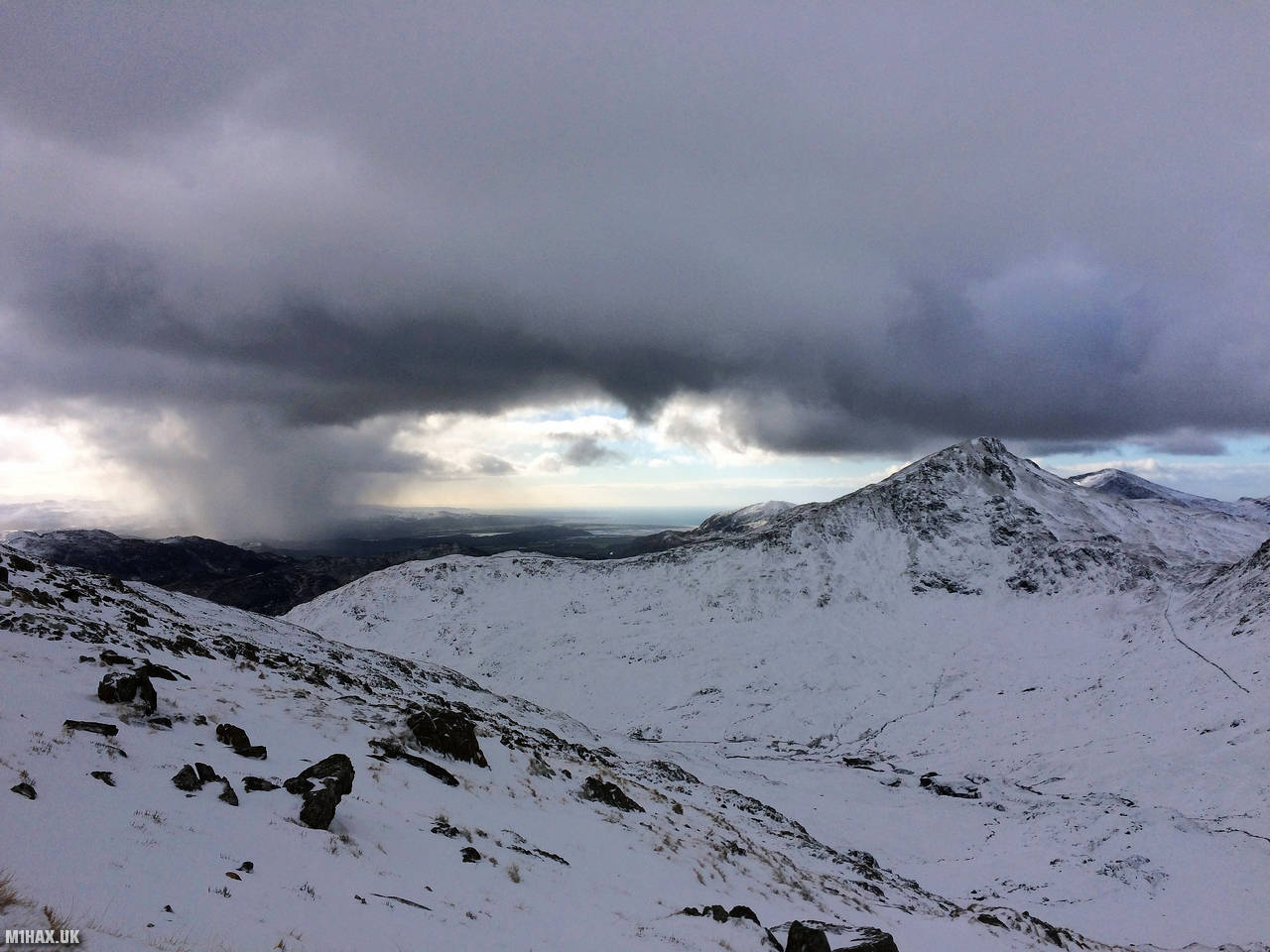
After a speedy activation atop a chilly summit, we headed back down the way we ascended, starting our progress towards the Snowdon summit. This was one of the few activations where I did not use a (technically optional) /P suffix.
Photos
Below are some photographs taken during my activation of Y Lliwedd on Saturday 2nd February, 2019.


Walking Route for Y Lliwedd
The interactive map below shows my GPS track taken to the SOTA activation zone for Y Lliwedd. Note that this summit was activated as part of a multi-summit hike and the map below shows the full route taken on the day. The GW/NW-008 summit area is marked on the map with a blue pin icon.
You can download the route shown above as a GPX file suitable for use with most GPS devices. This file is provided for information only, to support your own walk planning and research (it may contain navigation errors, detours and/or safety hazards). The route downloads provided here are governed by the Creative Commons BY-NC-SA 4.0 licence.
Station Log
I logged the following 4 amateur radio contacts operating as MW1HAX from GW/NW-008 Y Lliwedd on Saturday 2nd February, 2019 (all times shown are UTC):
| Time | Callsign | Band | Mode | Notes |
|---|---|---|---|---|
| 10:40 | GW7HAE | 2m | FM | 5/3 |
| 10:42 | GW4VPX | 2m | FM | 5/9 |
| 10:44 | G0NAJ | 2m | FM | 5/9 |
| 10:46 | EI5GN | 2m | FM | 5/9 |
In the notes field I will usually log the other operator’s name and the signal report they provided. In accordance with the Summits on the Air rules, I do not make a log entry where a complete exchange of callsigns and signal reports was unsuccessful.
Additional Information
The following resources may be helpful to walkers, mountaineers and SOTA activators interested in Y Lliwedd:
- Sotl.as Summit Page for GW/NW-008 Y Lliwedd.
- Hill Bagging UK Summit Page for Y Lliwedd.
- Google Maps Page for Y Lliwedd.
- Wikipedia entry for Y Lliwedd.
- 360° Panorama near summit of GW/NW-008 Y Lliwedd.
If you found this content valuable, why not Buy Me a Coffee?