Scafell Pike - G/LD-001 SOTA (2019)

Summits on the Air Activation Report
Activation Date: Sunday 10th March, 2019.
Activator(s): Richard M1HAX, Andrew M1CJE, Peter M6XPE.
Summit: Scafell Pike, Lake District, England.
Summit ID: SOTA reference G/LD-001 (10+3 points).
Summit Height: 978m elevation, 912m prominence.
Summit Location: Lat./Long. 54.45426, -3.21168. Maidenhead Grid IO84jk.
Distance: 7.2km travelled with 998m of ascent.
Difficulty: Winter Grade I.
Elapsed Time: 4hr 30m (including operating).
Weather: Feels like -8.3°C, 34 kph NE wind, 89% humidity, snow/ice.
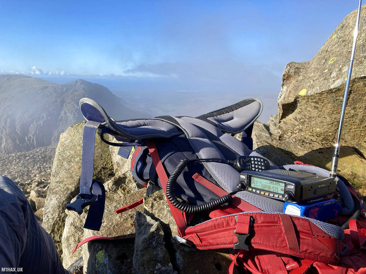
Radio Equipment: Yaesu FTM100D, MFJ-1714, Zippy 4200mAh 4S LiFePo4.
Callsign Used: M1HAX/P.
Contacts: 4 (2m FM).
Trip Notes
Scafell Pike is the highest mountain in England, reaching a height of 978 meters. It is home to the highest standing body of water in England, called Broad Crag Tarn, which is located about 820 meters south of the summit.
In 1919, Lord Leconfield donated Scafell Pike to the National Trust in honour of the men from the Lake District who lost their lives in World War I. At the foot of the mountain lies Wastwater, the deepest lake in England. It measures three miles long, just over half a mile wide, and a staggering 258 feet deep.
For this winter activation our group summited Scafell Pike in full winter conditions, with crampons and ice axes needed virtually as soon as we left the Wasdale car park.
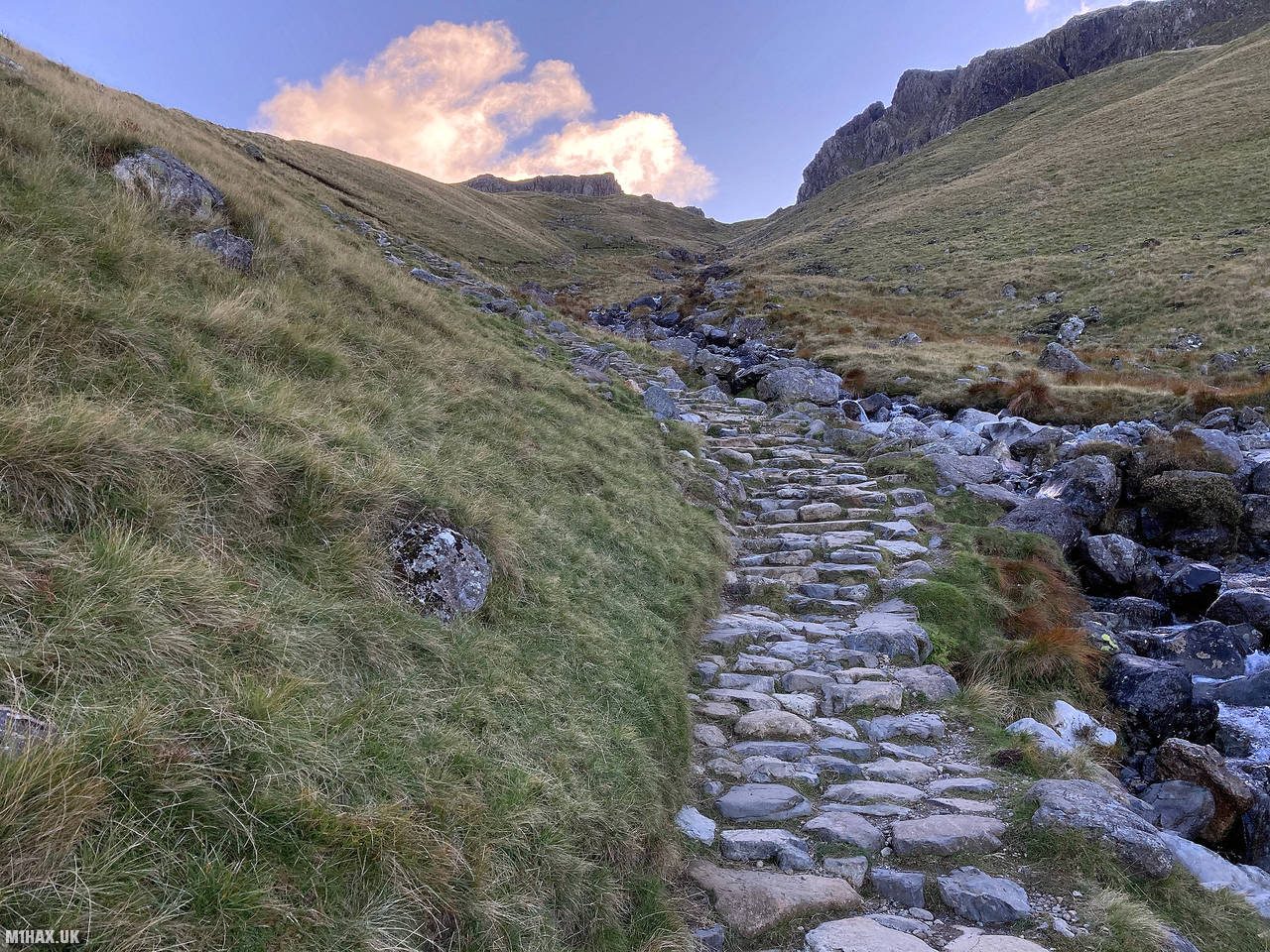
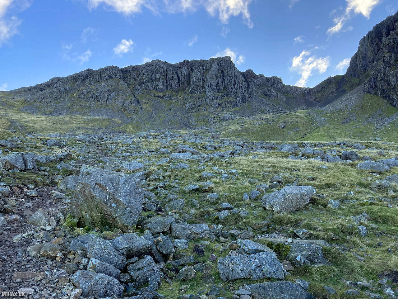
The winter weather was severe with strong winds causing white out conditions from Lingmell Col (737m) upward. With windchill factored in the temperature was easily down in to double digits. We did not see any other hikers all day. Due to the severe weather, I didn’t stop to take any photos so have used pictures here along the same route in summer.
After a slog through some deep powder we arrived at the summit. Peter M6XPE and I quickly grabbed four radio contacts on the 2-metre band while Andrew worked a pileup of chasers. We were very cold after nearly half an hour on the summit. Andrew M1CJEs blog has a good photo of icicles on his face taken after we began the descent.
Photos
Below are some photographs taken during my activation of Scafell Pike on Sunday 10th March, 2019.


Walking Route for Scafell Pike
The interactive map below shows my GPS track taken to the SOTA activation zone for Scafell Pike. The G/LD-001 summit area is marked on the map with a blue pin icon.
You can download the route shown above as a GPX file suitable for use with most GPS devices. This file is provided for information only, to support your own walk planning and research (it may contain navigation errors, detours and/or safety hazards). The route downloads provided here are governed by the Creative Commons BY-NC-SA 4.0 licence.
Station Log
I logged the following 4 amateur radio contacts operating as M1HAX/P from G/LD-001 Scafell Pike on Sunday 10th March, 2019 (all times shown are UTC):
| Time | Callsign | Band | Mode | Notes |
|---|---|---|---|---|
| 11:47 | GM4WHA | 2m | FM | 5/9 |
| 11:50 | G4BLH/M | 2m | FM | 5/9 |
| 11:53 | M0IGG | 2m | FM | 5/9 |
| 11:56 | G7CDA | 2m | FM | 5/9 |
In the notes field I will usually log the other operator’s name and the signal report they provided. In accordance with the Summits on the Air rules, I do not make a log entry where a complete exchange of callsigns and signal reports was unsuccessful.
Additional Information
The following resources may be helpful to walkers, mountaineers and SOTA activators interested in Scafell Pike:
- Sotl.as Summit Page for G/LD-001 Scafell Pike.
- Hill Bagging UK Summit Page for Scafell Pike.
- Google Maps Page for Scafell Pike.
- Wikipedia entry for Scafell Pike.
If you found this content valuable, why not Buy Me a Coffee?