Mynydd Mawr - GW/NW-026 SOTA (2019)

Summits on the Air Activation Report
Activation Date: Saturday 25th May, 2019.
Activator(s): Richard M1HAX, Andrew M1CJE, Peter M6XPE.
Summit: Mynydd Mawr, North Wales, Wales.
Summit ID: SOTA reference GW/NW-026 (4 points).
Summit Height: 698m elevation, 463m prominence.
Summit Location: Lat./Long. 53.06946, -4.18098. Maidenhead Grid IO73vb.
Distance: 10.3km travelled with 870m of ascent.
Difficulty: SAC Grade T2.(?)
Elapsed Time: 5hr 0m (including operating).
Weather: Feels like 14.4°C, 30 kph SW wind, 80% humidity.
Radio Equipment: Yaesu FTM100D, MFJ-1714, Zippy 4200mAh 4S LiFePo4.
Callsign Used: MW1HAX/P.
Contacts: 4 (2m FM).
Trip Notes
Mynydd Mawr, a mountain in Snowdonia, North Wales, approximately 7 km west of Snowdon, is known in Welsh as “big mountain”. It overlooks Llyn Cwellyn and is the northern outlier of the Moel Hebog group. From the north, the mountain’s profile is often thought to resemble an elephant lying down, leading to it being referred to colloquially as “Yr Eliffant” or “Elephant Mountain” by non-Welsh speakers.
For this trip Andrew M1CJE, Peter M6XPE and I were attempting an overnight camping expedition targeting several mountain summits over a weekend in May.
We parked at the Rhyd-Ddu station car park, heading through the forested area to the north, following paths of various descriptions up to the summit of Mynydd Mawr.
Each of us completed quick activations on the 2-metre band before heading south across deep heather and boulders, towards Clogwyn y Barcut. From here we navigated our way to our campsite for the evening at Cwmyffynnon. There is a plentiful water supply for camping here but beware of ticks lurking in the undergrowth as sheep graze here.
The following morning, we packed away the tents and started towards the nearby summit of Trum y Ddysgl.
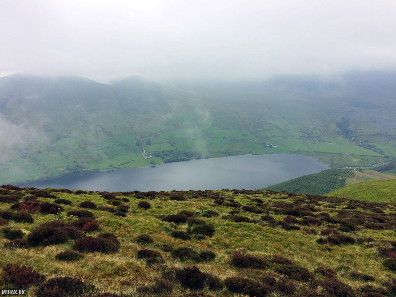
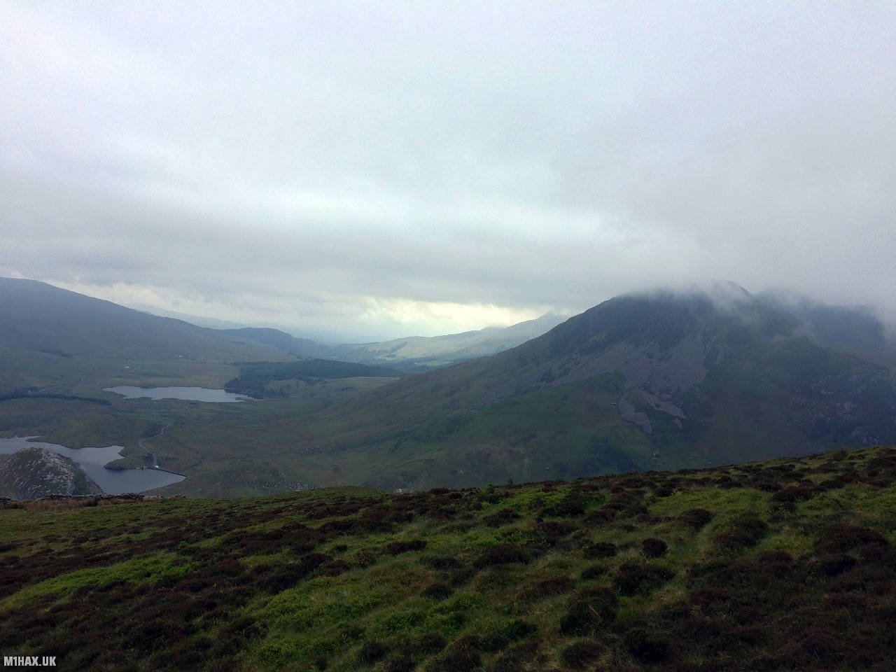
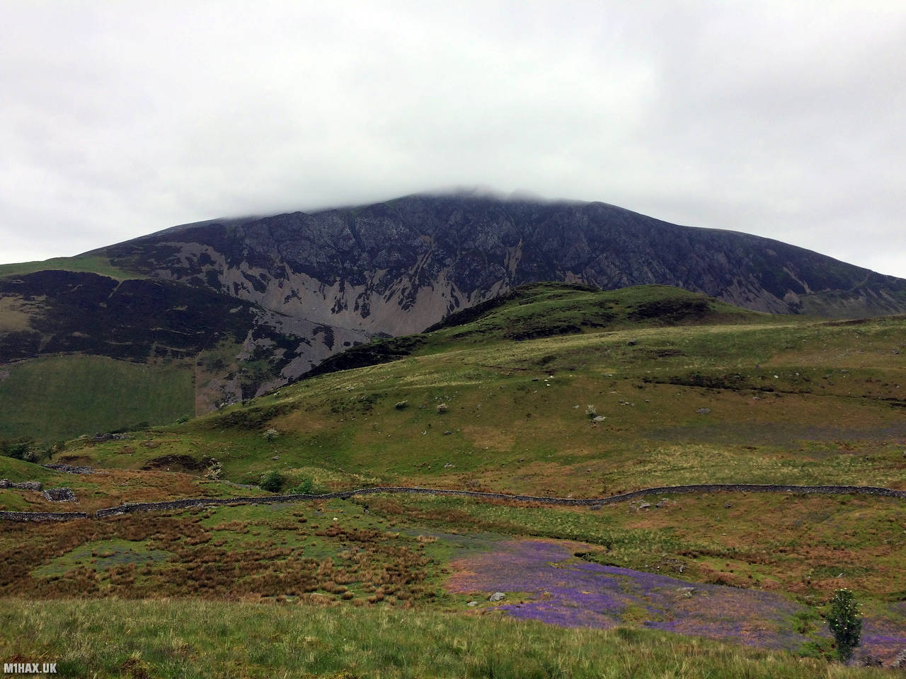
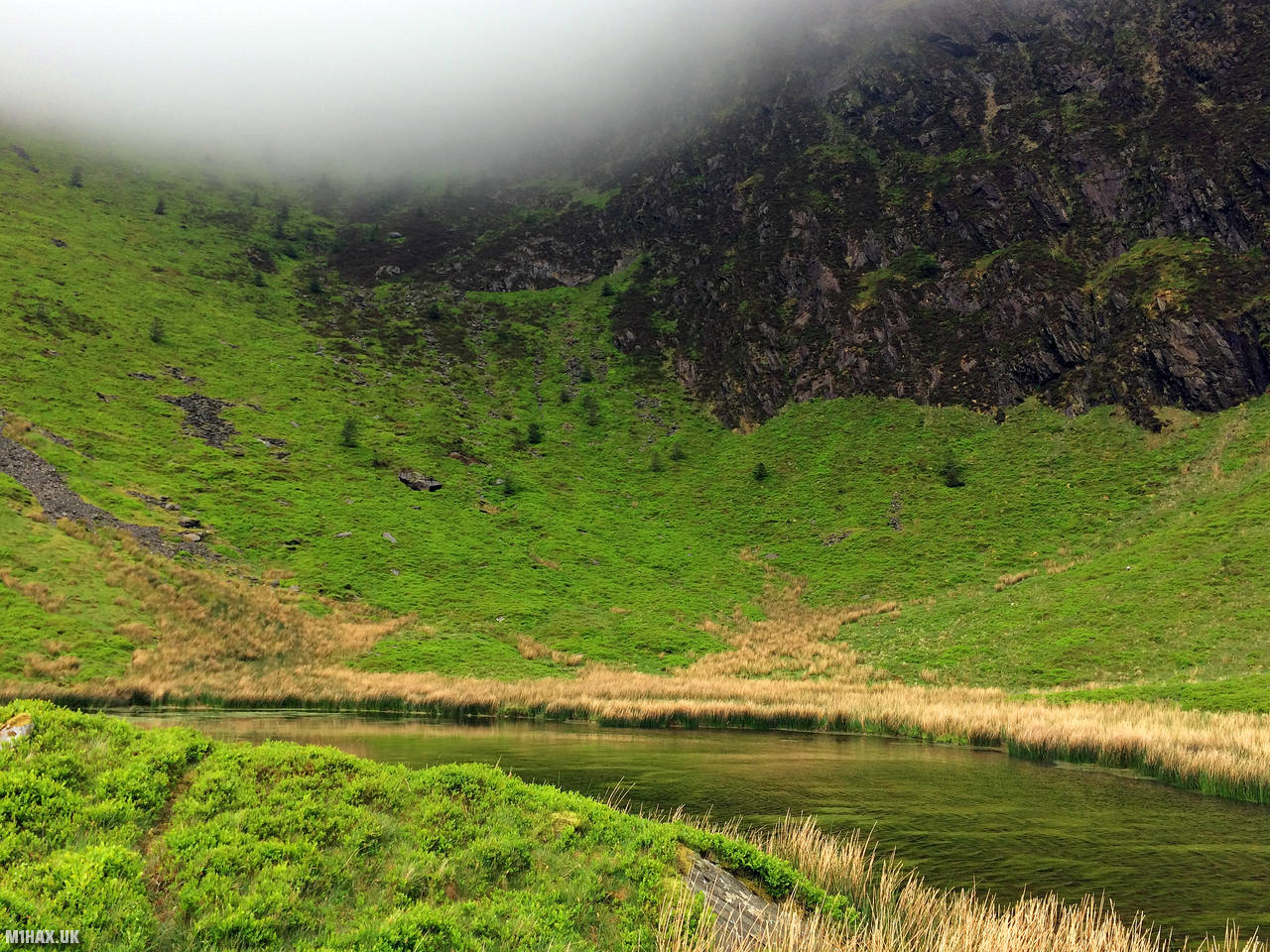
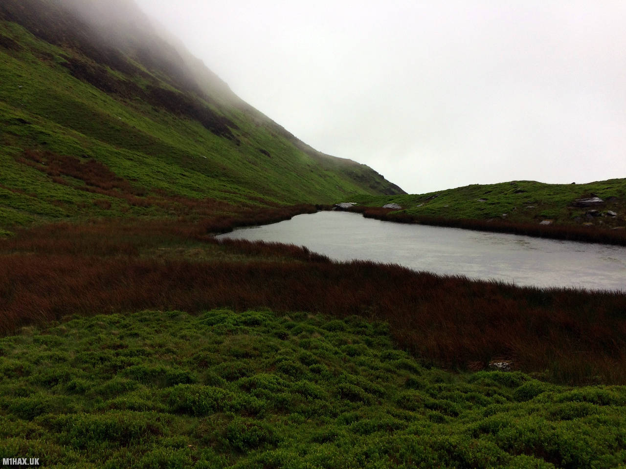
Photos
Below are some photographs taken during my activation of Mynydd Mawr on Saturday 25th May, 2019.


Walking Route for Mynydd Mawr
The interactive map below shows my GPS track taken to the SOTA activation zone for Mynydd Mawr. The GW/NW-026 summit area is marked on the map with a blue pin icon.
You can download the route shown above as a GPX file suitable for use with most GPS devices. This file is provided for information only, to support your own walk planning and research (it may contain navigation errors, detours and/or safety hazards). The route downloads provided here are governed by the Creative Commons BY-NC-SA 4.0 licence.
Station Log
I logged the following 4 amateur radio contacts operating as MW1HAX/P from GW/NW-026 Mynydd Mawr on Saturday 25th May, 2019 (all times shown are UTC):
| Time | Callsign | Band | Mode | Notes |
|---|---|---|---|---|
| 13:46 | MW6KGX/M | 2m | FM | 5/9 |
| 13:49 | GW4VPX | 2m | FM | 5/2 |
| 13:53 | MW6DYF/M | 2m | FM | 5/9 |
| 13:56 | 2I0NIO | 2m | FM | 5/2 |
In the notes field I will usually log the other operator’s name and the signal report they provided. In accordance with the Summits on the Air rules, I do not make a log entry where a complete exchange of callsigns and signal reports was unsuccessful.
Additional Information
The following resources may be helpful to walkers, mountaineers and SOTA activators interested in Mynydd Mawr:
- Sotl.as Summit Page for GW/NW-026 Mynydd Mawr.
- Hill Bagging UK Summit Page for Mynydd Mawr.
- Google Maps Page for Mynydd Mawr.
- Wikipedia entry for Mynydd Mawr.
If you found this content valuable, why not Buy Me a Coffee?