Craig Cwm Silyn - GW/NW-020 SOTA (2019)

Summits on the Air Activation Report
Activation Date: Sunday 28th July, 2019.
Activator(s): Richard M1HAX.
Summit: Craig Cwm Silyn, North Wales, Wales.
Summit ID: SOTA reference GW/NW-020 (6 points).
Summit Height: 734m elevation, 398m prominence.
Summit Location: Lat./Long. 53.02930, -4.20007. Maidenhead Grid IO73va.
Distance: 7.8km travelled with 796m of ascent.
Difficulty: SAC Grade T2.(?)
Elapsed Time: 3hr 0m (including operating).
Weather: Feels like 16.1°C, 19 kph NW wind, 82% humidity.
Radio Equipment: Yaesu FTM100D, MFJ-1714, Zippy 4200mAh 4S LiFePo4.
Callsign Used: MW1HAX/P.
Contacts: 4 (2m FM).
Trip Notes
Craig Cwm Silyn, situated in Snowdonia in North Wales, is a mountain that serves as the highest point on the popular Nantlle Ridge route.
This mountain features a steep northern face that is favoured by climbers. Towards the west, the Nantlle Ridge stretches over Garnedd Goch and culminates at Mynydd Graig Goch. On the eastern side it dips down before ascending towards Trum y Ddysgl, Mynydd Drws-y-coed and ultimately concludes at Y Garn.
It is possible to approach Craig Cwm Silyn from the Beddgelert forest to the east, but for this hike I approached from the west. From this side the ascent profile is a bit gentler.
I parked at a small off-road parking area at the end of a long single-track road (OS grid: SH495510). Historically there have been issues with car break-ins at this parking area, and it certainly feels a lot more remote than approaching from the Beddgelert side.
The route follows a farm track to the east before picking up a faint path which rises all the way to the summit. To get back to the car, I retraced my steps and went back the same way.
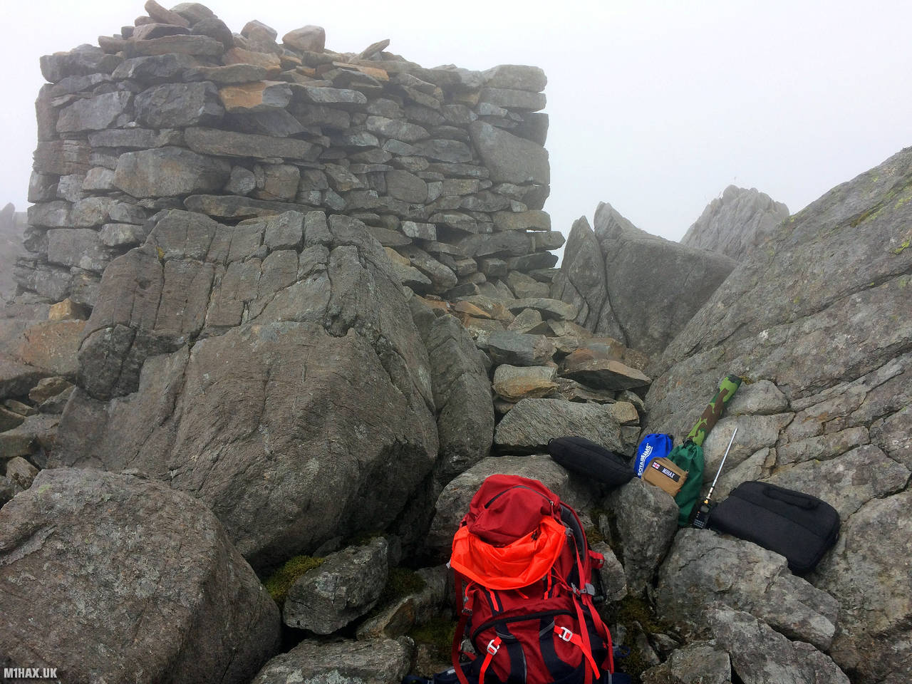
At the summit there is a large pile of stones including a small shelter. Whilst I did carry my Yaesu FT-891 HF radio and mast for this activation, the weather conditions were rather poor so only completed a quick activation on the 2-metres band.
This is certainly an easier route to the summit, but not as logistically accessible or spectacular as approaching from the eastern side of the ridge.
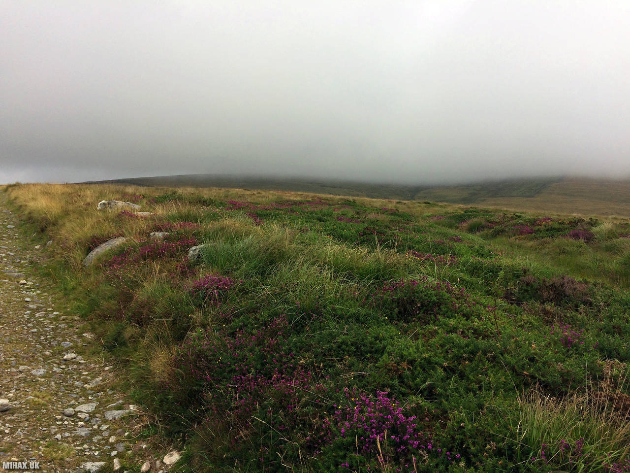
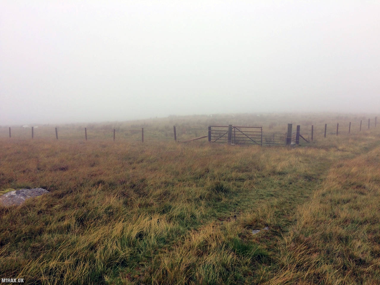
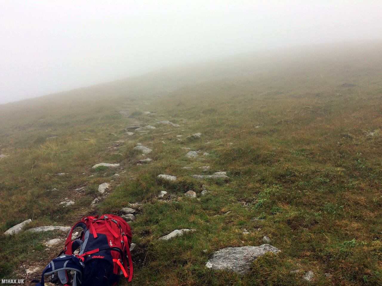
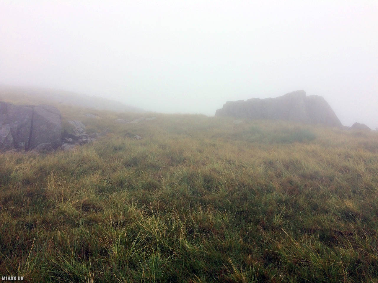
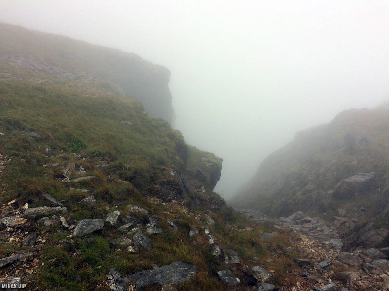
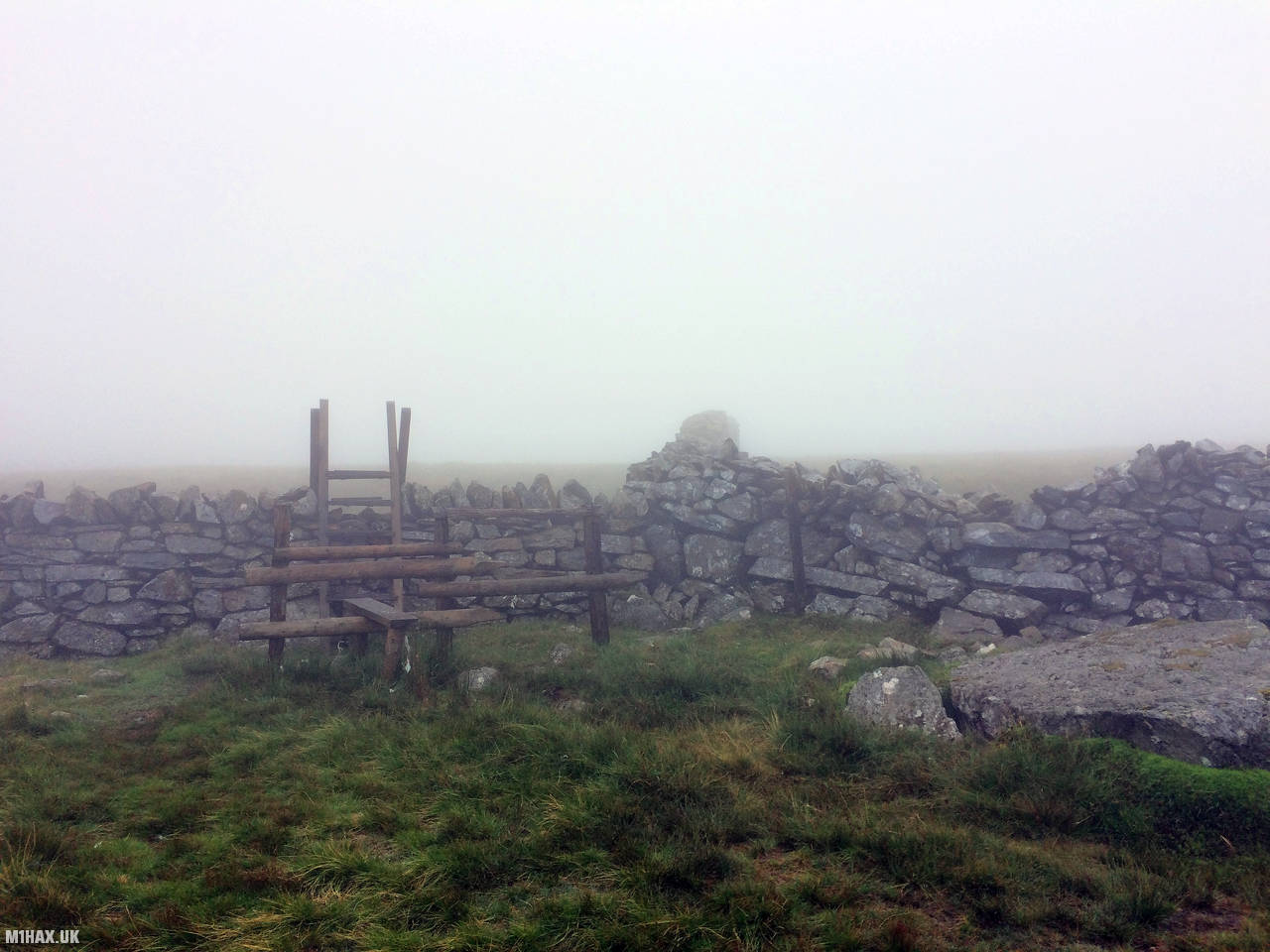
Photos
Below are some photographs taken during my activation of Craig Cwm Silyn on Sunday 28th July, 2019.


Walking Route for Craig Cwm Silyn
The interactive map below shows my GPS track taken to the SOTA activation zone for Craig Cwm Silyn. The GW/NW-020 summit area is marked on the map with a blue pin icon.
You can download the route shown above as a GPX file suitable for use with most GPS devices. This file is provided for information only, to support your own walk planning and research (it may contain navigation errors, detours and/or safety hazards). The route downloads provided here are governed by the Creative Commons BY-NC-SA 4.0 licence.
Station Log
I logged the following 4 amateur radio contacts operating as MW1HAX/P from GW/NW-020 Craig Cwm Silyn on Sunday 28th July, 2019 (all times shown are UTC):
| Time | Callsign | Band | Mode | Notes |
|---|---|---|---|---|
| 09:10 | 2W0EIA/P | 2m | FM | Roger, 5/5 |
| 09:13 | GW4VPX | 2m | FM | Allan, 5/7 |
| 09:15 | EI9GLB | 2m | FM | Jim, 5/8 |
| 09:17 | GW4VKU/P | 2m | FM | Pete, 5/9 |
In the notes field I will usually log the other operator’s name and the signal report they provided. In accordance with the Summits on the Air rules, I do not make a log entry where a complete exchange of callsigns and signal reports was unsuccessful.
Additional Information
The following resources may be helpful to walkers, mountaineers and SOTA activators interested in Craig Cwm Silyn:
- Sotl.as Summit Page for GW/NW-020 Craig Cwm Silyn.
- Hill Bagging UK Summit Page for Craig Cwm Silyn.
- Google Maps Page for Craig Cwm Silyn.
- Wikipedia entry for Craig Cwm Silyn.
If you found this content valuable, why not Buy Me a Coffee?