Moel Cynghorion - GW/NW-030 SOTA (2019)

Summits on the Air Activation Report
Activation Date: Saturday 27th July, 2019.
Activator(s): Richard M1HAX.
Summit: Moel Cynghorion, North Wales, Wales.
Summit ID: SOTA reference GW/NW-030 (4 points).
Summit Height: 674m elevation, 176m prominence.
Summit Location: Lat./Long. 53.08598, -4.11260. Maidenhead Grid IO73wc.
Also Activated: GW/NW-022.
Distance: 13.4km travelled with 1053m of ascent.
Difficulty: SAC Grade T1.(?)
Elapsed Time: 5hr 20m (incl. operating and other summit(s) on the same hike).
Weather: Feels like 16.1°C, 4 kph wind, 88% humidity.
Radio Equipment: Yaesu FTM100D, MFJ-1714, Zippy 4200mAh 4S LiFePo4.
Callsign Used: MW1HAX/P.
Contacts: 6 (2m FM).
Trip Notes
Moel Cynghorion is a mountain located in Snowdonia (North Wales). It is part of the Moelwynion mountain range, which also includes Moelwyn Mawr and Moelwyn Bach.
Moel Cynghorion reaches a height of approximately 656 meters (2,152 feet) and is located to the south of the town of Blaenau Ffestiniog. The mountain offers panoramic views of the surrounding area, including the Vale of Ffestiniog and the Rhinogydd mountain range.
I made a minor detour to the summit of Moel Cynghorion to activate it for the Summits on the Air amateur radio scheme, while enroute to the summit of Moel Eilio.
The route taken follows good quality foot paths from the Snowdon Ranger car park towards the summit of Snowdon (GW/NW-001) before turning away towards Moel Cynghorion and Moel Eilio.
The summit of Moel Cynghorion is marked by a trig point - a surveyor’s benchmark used for mapping. There is a fence and stile within the activation zone which can be useful for siting equipment.
I completed a quick 2m-FM activation at the summit, including an early morning summit to summit with David MW0XRT/P on GW/NW-005 Elidir Fawr. I retraced my steps back to the gravel track before continuing on to Moel Eilio.
This is a pleasant and straightforward walking route with good road access to the car park at the starting point.
Photos
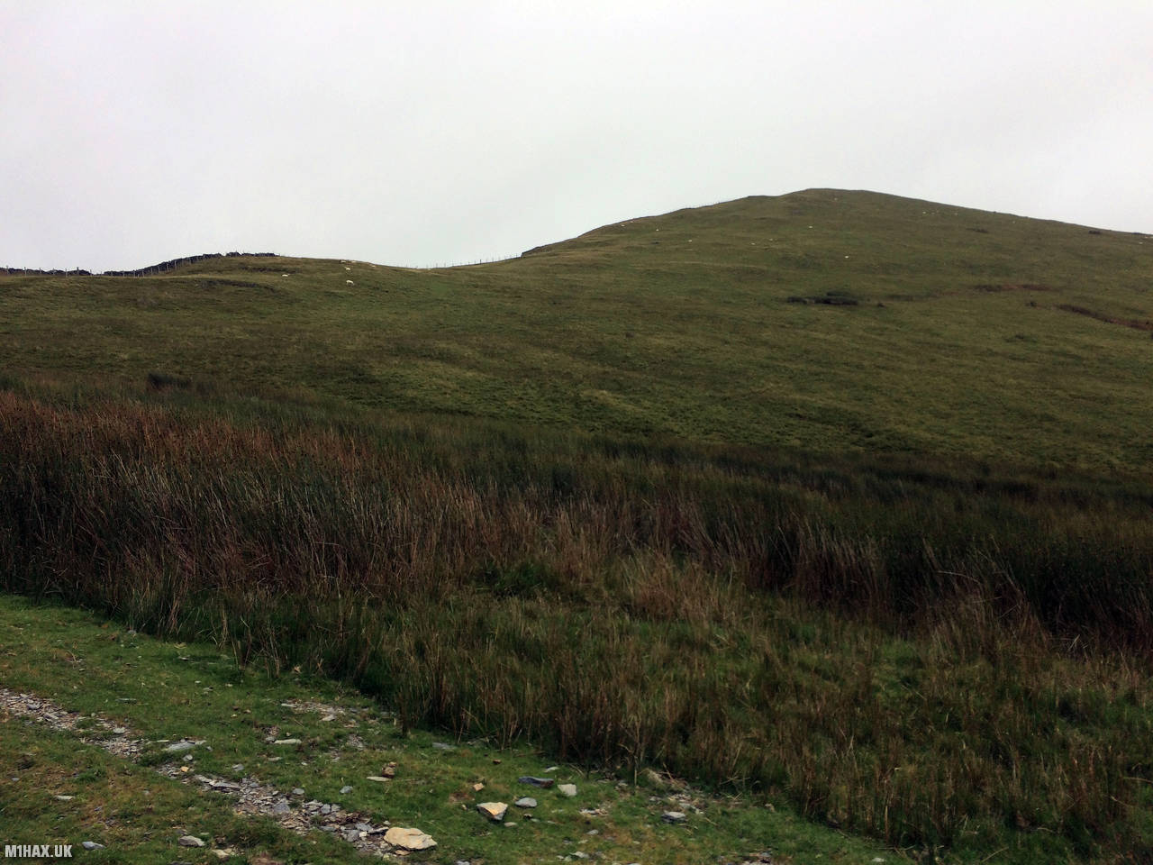
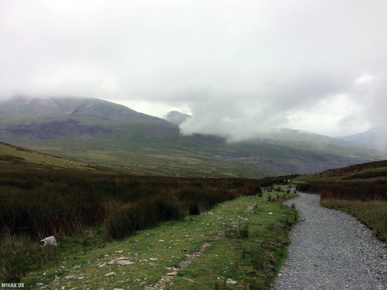
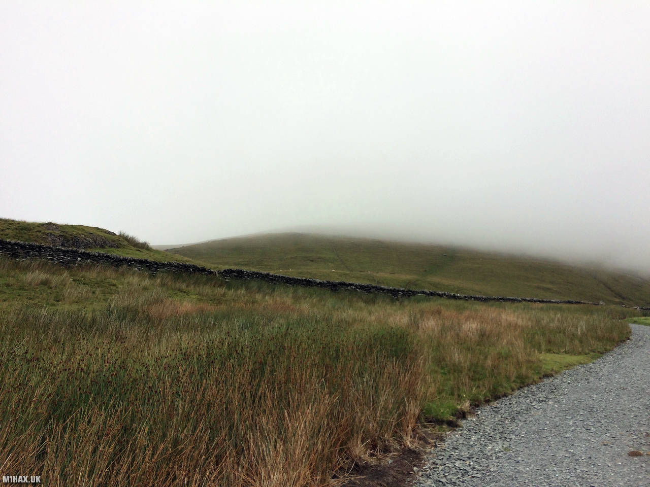
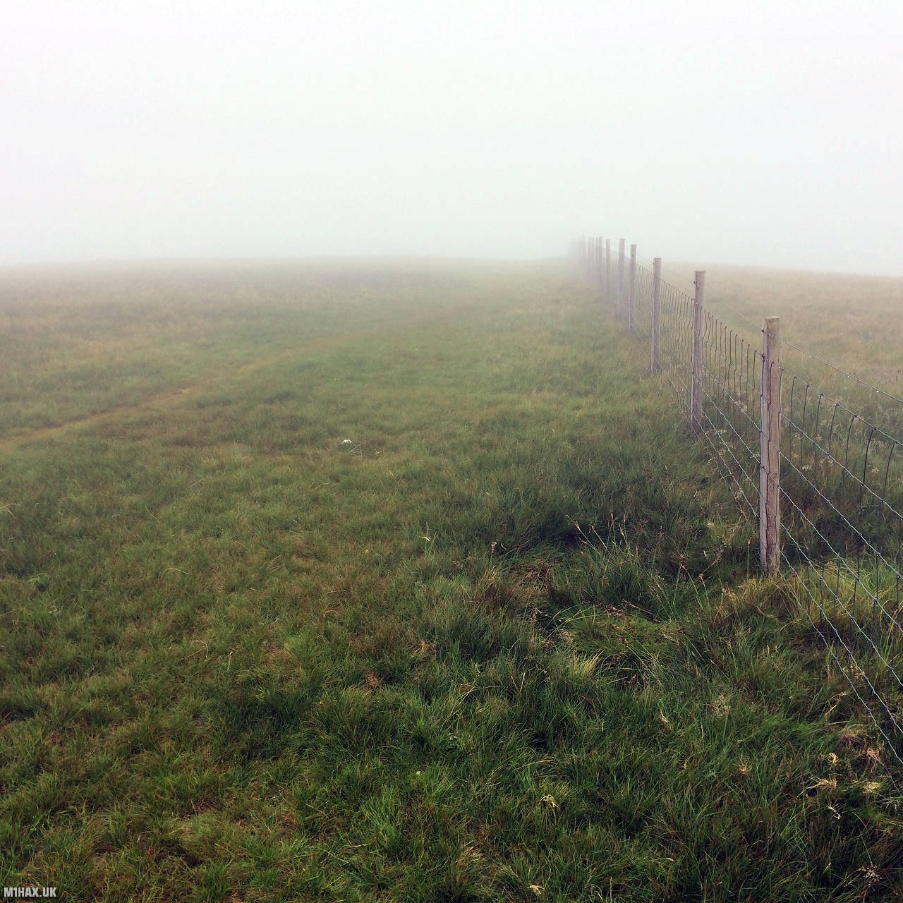
Below are some photographs taken during my activation of Moel Cynghorion on Saturday 27th July, 2019.


Walking Route for Moel Cynghorion
The interactive map below shows my GPS track taken to the SOTA activation zone for Moel Cynghorion. Note that this summit was activated as part of a multi-summit hike and the map below shows the full route taken on the day. The GW/NW-030 summit area is marked on the map with a blue pin icon.
You can download the route shown above as a GPX file suitable for use with most GPS devices. This file is provided for information only, to support your own walk planning and research (it may contain navigation errors, detours and/or safety hazards). The route downloads provided here are governed by the Creative Commons BY-NC-SA 4.0 licence.
Station Log
I logged the following 6 amateur radio contacts operating as MW1HAX/P from GW/NW-030 Moel Cynghorion on Saturday 27th July, 2019 (all times shown are UTC):
| Time | Callsign | Band | Mode | Notes |
|---|---|---|---|---|
| 08:10 | MW0NLG/M | 2m | FM | Malc, 5/5 |
| 08:12 | MW0XRT/P | 2m | FM | David, 4/4, S2S GW/NW-005 |
| 08:14 | GW4VPX | 2m | FM | Allan, 5/3 |
| 08:15 | MW0OFA/M | 2m | FM | Frank, 5/7 |
| 08:16 | GW4TQD | 2m | FM | John, 5/9 |
| 08:18 | MW0NTI/P | 2m | FM | Tom, 5/9 |
In the notes field I will usually log the other operator’s name and the signal report they provided. In accordance with the Summits on the Air rules, I do not make a log entry where a complete exchange of callsigns and signal reports was unsuccessful.
Additional Information
The following resources may be helpful to walkers, mountaineers and SOTA activators interested in Moel Cynghorion:
- Sotl.as Summit Page for GW/NW-030 Moel Cynghorion.
- Hill Bagging UK Summit Page for Moel Cynghorion.
- Google Maps Page for Moel Cynghorion.
- Wikipedia entry for Moel Cynghorion.
- 360° Panorama near summit of GW/NW-030 Moel Cynghorion.
If you found this content valuable, why not Buy Me a Coffee?