Yr Aran - GW/NW-019 SOTA (2019)

Summits on the Air Activation Report
Activation Date: Friday 26th July, 2019.
Activator(s): Richard M1HAX.
Summit: Yr Aran, North Wales, Wales.
Summit ID: SOTA reference GW/NW-019 (6 points).
Summit Height: 747m elevation, 235m prominence.
Summit Location: Lat./Long. 53.04277, -4.08318. Maidenhead Grid IO73xb.
Distance: 10.4km travelled with 611m of ascent.
Difficulty: SAC Grade T3.(?)
Elapsed Time: 3hr 30m (including operating).
Weather: Feels like 17.2°C, 19 kph SW wind, 78% humidity.
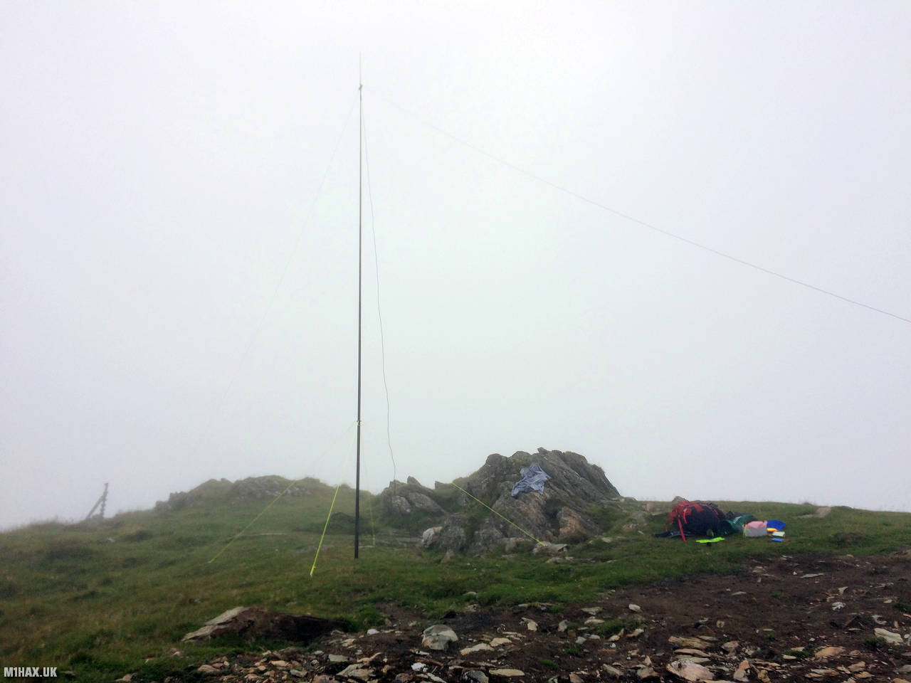
Radio Equipment: Yaesu FT891, Linked Dipole, Zippy 8400mAh 4S LiFePo4. Yaesu FTM100D, MFJ-1714.
Callsign Used: MW1HAX/P.
Contacts: 16 (40m SSB, 2m FM).
Trip Notes
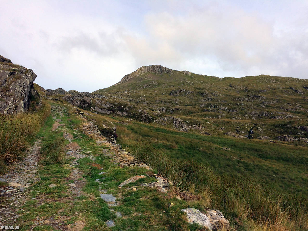
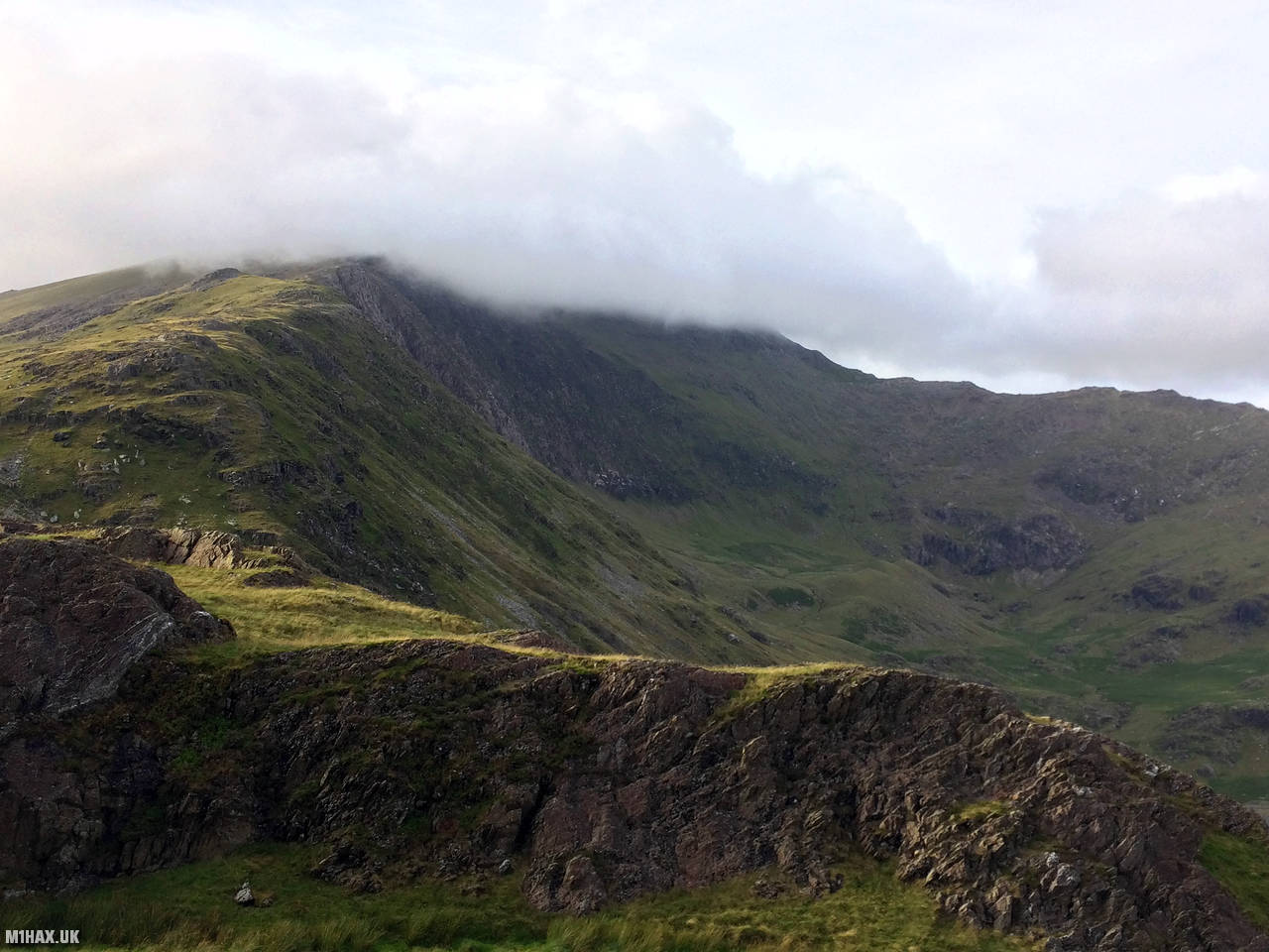
Yr Aran is a mountain peak located on a ridge that extends south from Snowdon, Wales' highest mountain. From its summit, one can enjoy beautiful views of Snowdon, Moel Hebog, and the Nantlle Ridge.
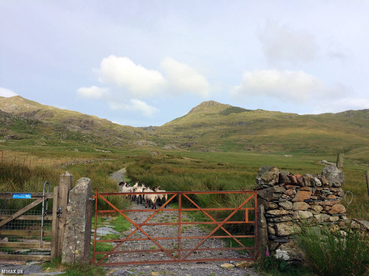
I activated this summit as part of a camping weekend trip to North Wales. When I arrived on the Friday evening, I took a quick walk up to the summit of Yr Aran from Rhyd-Ddu.
This route starts on a path towards the summit of Snowdon before breaking away towards Yr Aran. There are rough paths all the way onward to the summit, but the terrain does become a little tricky in a couple of places (particularly in the wet).
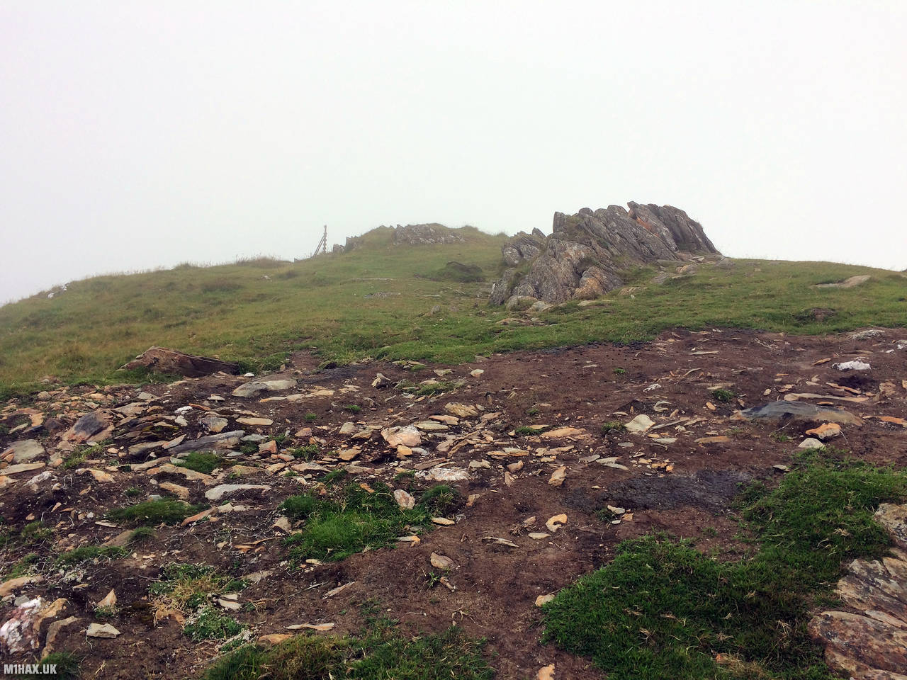
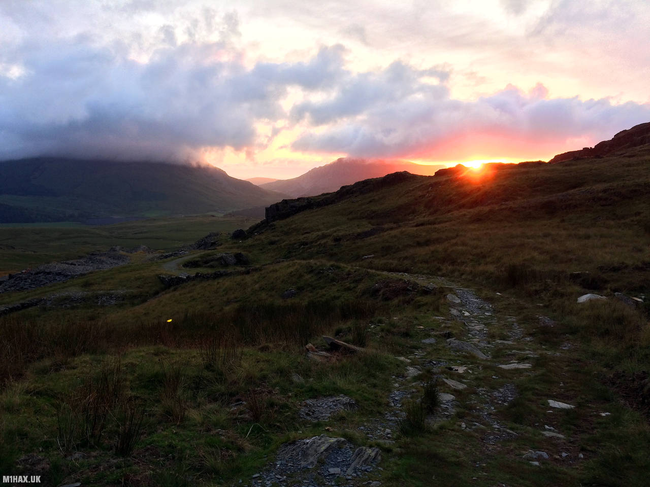
This was one of my first SOTA activations on HF, using a Yaesu FT-891 to work a number of inter-G stations on 40-metres single side band. After operating for nearly an hour, I returned towards Rhyd-Ddu enjoying a beautiful red sunset.
Photos
Below are some photographs taken during my activation of Yr Aran on Friday 26th July, 2019.


Walking Route for Yr Aran
The interactive map below shows my GPS track taken to the SOTA activation zone for Yr Aran. The GW/NW-019 summit area is marked on the map with a blue pin icon.
You can download the route shown above as a GPX file suitable for use with most GPS devices. This file is provided for information only, to support your own walk planning and research (it may contain navigation errors, detours and/or safety hazards). The route downloads provided here are governed by the Creative Commons BY-NC-SA 4.0 licence.
Station Log
I logged the following 16 amateur radio contacts operating as MW1HAX/P from GW/NW-019 Yr Aran on Friday 26th July, 2019 (all times shown are UTC):
| Time | Callsign | Band | Mode | Notes |
|---|---|---|---|---|
| 18:30 | GW4TGT | 2m | FM | Terry, 4/5 |
| 18:32 | GW4VPX | 2m | FM | Allan, 5/9 |
| 18:33 | MW0OFA | 2m | FM | Frank, 5/9 |
| 18:34 | MW0WYN | 2m | FM | Dulyn, 5/4 |
| 18:36 | G4PGJ | 2m | FM | Dave, 5/2 |
| 18:38 | EI3GO | 2m | FM | Martin, 5/1 |
| 18:39 | EI9GLB | 2m | FM | Jim, 5/9 |
| 19:10 | M3OIG | 40m | SSB | Colin, 5/9 |
| 19:12 | M0NMA | 40m | SSB | Steve, 5/9 |
| 19:13 | G1MKY | 40m | SSB | John, 5/8 |
| 19:14 | M0RIJ | 40m | SSB | Bren, 5/9 |
| 19:15 | 2E0YYB | 40m | SSB | Chris, 5/9 |
| 19:15 | G0WYM | 40m | SSB | Roy, 5/9 |
| 19:16 | G3VCG | 40m | SSB | Don, 5/9 |
| 19:17 | F4VSU | 40m | SSB | David, 5/7 |
| 19:20 | M6SKN | 40m | SSB | Tony, 5/9 |
In the notes field I will usually log the other operator’s name and the signal report they provided. In accordance with the Summits on the Air rules, I do not make a log entry where a complete exchange of callsigns and signal reports was unsuccessful.
Additional Information
The following resources may be helpful to walkers, mountaineers and SOTA activators interested in Yr Aran:
- Sotl.as Summit Page for GW/NW-019 Yr Aran.
- Hill Bagging UK Summit Page for Yr Aran.
- Google Maps Page for Yr Aran.
- Wikipedia entry for Yr Aran.
- 360° Panorama near summit of GW/NW-019 Yr Aran.
If you found this content valuable, why not Buy Me a Coffee?