Arctic Circle Trail Diary - Day 10 (Iluliumanersuup Portornga)
Deep into the Wilderness
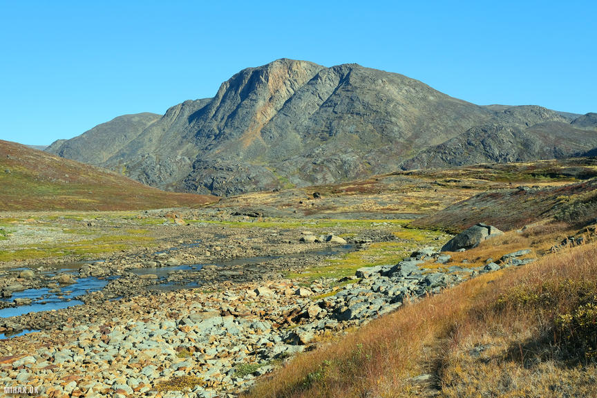
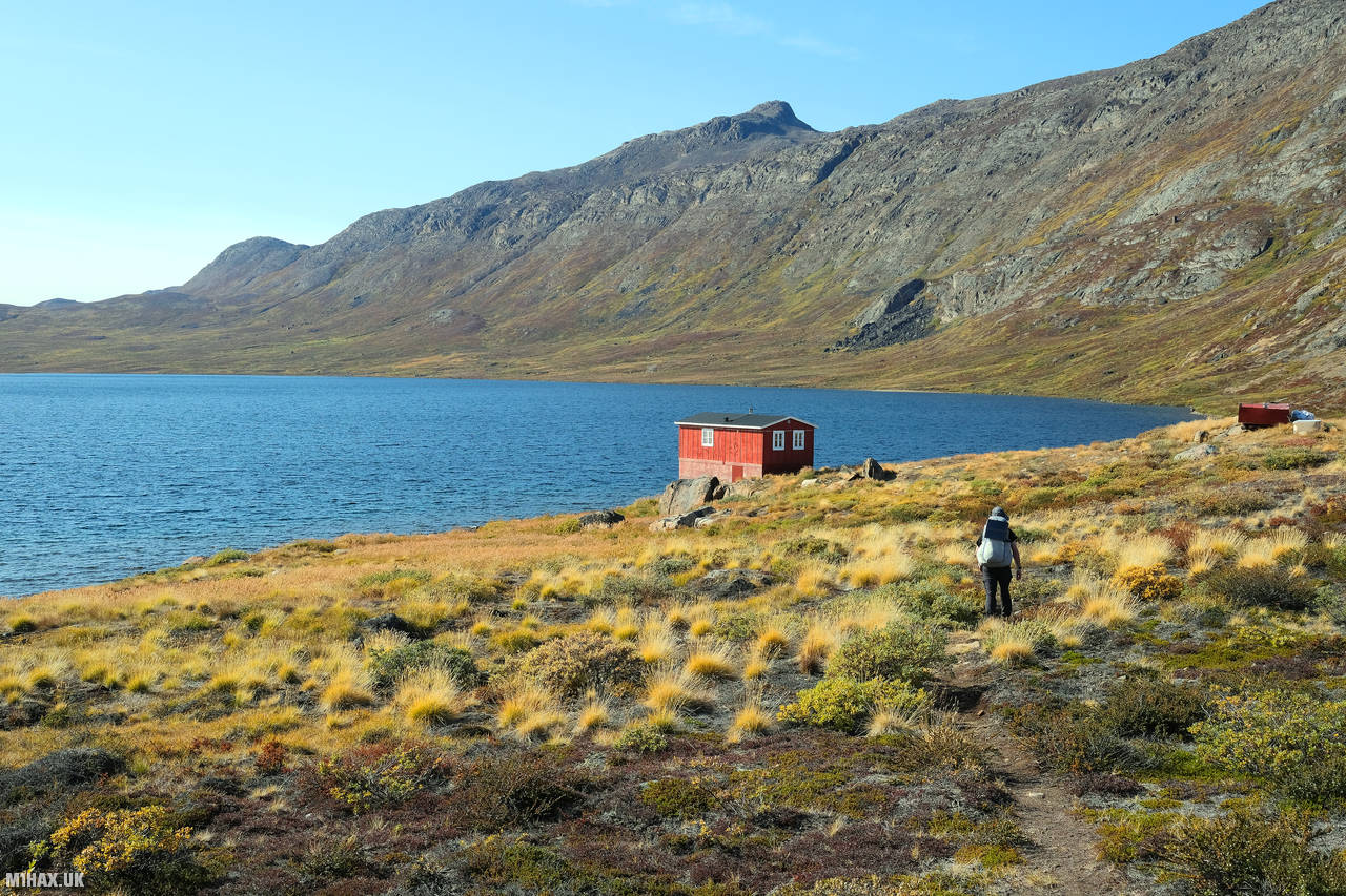
On our latest day of trekking through the wilds of Greenland, we travelled from our previous campsite at Iluliumanersup Portornga to a new location situated beside a picturesque lake beyond the Innajuattoq ACT hut. This marked the second half of what is described as day six in Paddy Dillon’s Trekking in Greenland ACT guidebook.

As we had been making good progress, this was another short day of walking for us. The weather was pleasant, with a cool wind accompanying the bright sunshine, much like the previous day. While packing up camp in the morning, I unfortunately damaged my Osprey Levity ultralight backpack. Although the bag is exceptionally lightweight, it is also remarkably fragile. Thankfully, I was able to patch up the thin material using Tenacious tape. Despite its weight benefits, I wouldn’t recommend the Osprey Levity backpack to fellow hikers, as it is not durable enough for extended use on long treks such as this. I feared it may not even survive the journey back home.
Throughout the trek, I have been relying on a map and compass for navigation. As we are in the high Arctic, it is crucial to factor in compass declination for accurate navigation. Compass declination refers to the variation between true north (the direction towards the North Pole) and magnetic north (the direction a compass needle points towards). This variance differs based on the location on the Earth’s surface. Fortunately, the map contains a guide indicating the necessary adjustment required when taking bearings. It’s important to understand this topic before venturing out in to Greenland’s arctic wilderness.
In addition to my backpack troubles, I also faced issues with my waterproof storage bags. I had been using cheap zip lock bags to keep my supplies dry, but they had all split due to wear and tear. Fortunately, my fellow hiker Adrian had a better zip lock bag which he kindly lent me to protect some of my essentials. Furthermore, one of my ultralight dry sacks also developed a hole during the day’s travel.

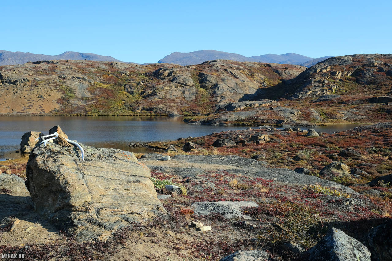
Despite these setbacks, we managed to cover 14 kilometres and ascend 200 meters over the course of 4 hours and 50 minutes. Our total distance for the trip now stands at 164.5 kilometres with an ascent of 3,480 meters. Overall, it was another successful day on our unforgettable trek through the rugged beauty of Greenland.

Click here to jump to the next entry in my Arctic Circle Trail hike diary.