Arctic Circle Trail Diary - Day 12 (Nerumaq)
Scorched Earth and Auroras
Today, we woke up at our campsite in Nerumaq Hut, excited for the next leg of our journey. Our goal for the day was to hike to the Kangerluarsuk Tulleq huts, as described in the Cicerone ACT guidebook’s “Day 8” section. After breakfast and packing up our gear, we set off on our hike.

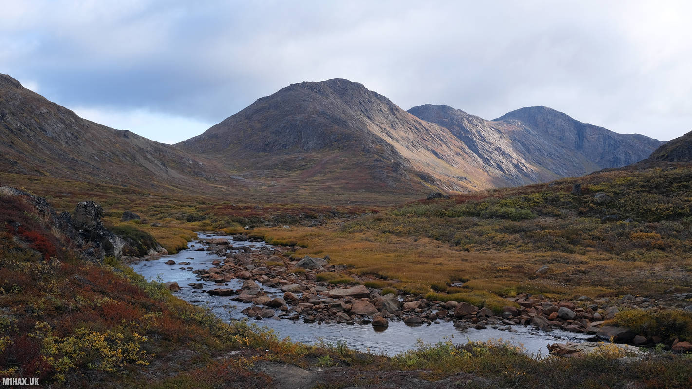
The first few hours of the hike were uneventful, and we hiked for about five hours through some dense and deep scrub vegetation. The ground was boggy underfoot, making the hike challenging at times. We boulder-hopped across two shallow but wide river crossings, admiring the stunning scenery around us.

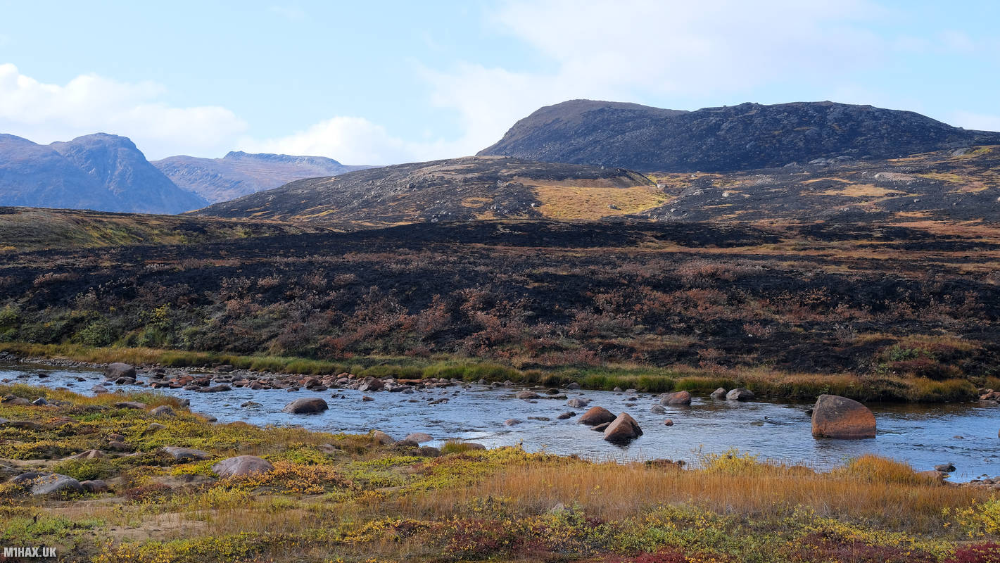
As we continued on our hike, we noticed some scorched ground in the area, which must have been where a wildfire was burning previously. We would later learn that when local authorities were unable to stop the smoldering peat fire after a month of burning, they requested support from the Danish government, which flew over more firefighters and equipment.

Adrian, my hiking partner, has been using the Garmin inReach Mini satellite communications device on our trip. One of its features is daily weather forecast updates. Heavy rain was forecast for today, but thankfully, only slight showers arrived.
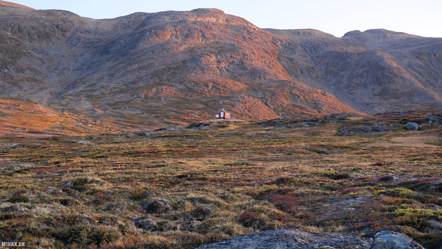
During today’s leg, we met a young woman who was hiking the ACT solo. She had slipped on a wet rock and hit her head the day before, which could have been very serious for her travelling by herself, but luckily, she seemed to be fine. This was a reminder of the importance of first aid training when travelling in such remote areas. We set up camp a little way away from the Kangerluarsuk hut to give her some privacy.

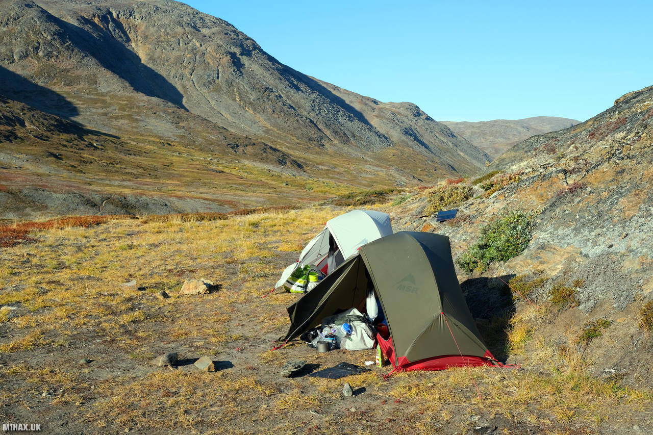
Our campsite was situated on a very windy ridge by a fjord. So far, we had managed to complete the trail without needing to spend any evenings inside the huts. I had my rehydrated food pouch for dinner and reviewed the Harvey paper map, reflecting on the fact that we had only 20km left to go to Sisimuit.

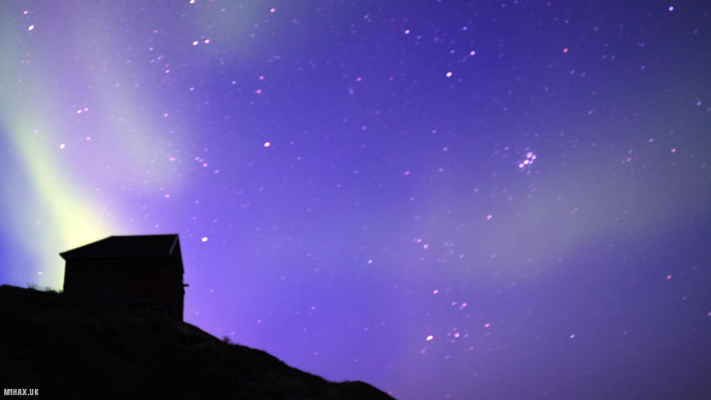
Adrian had spotted the aurora borealis yesterday evening, so we decided to wake up early in the morning to try and photograph it. The aurora borealis, also known as the Northern Lights, is a natural light display that occurs in the polar regions. We were excited to see if we could capture it on camera, and spent the best part of an hour taking long exposure photographs of the night sky.
Throughout our trek, the Anker solar panels on our packs used to recharge our USB battery banks had been working quite well. I hung the solar panel on the rear of my backpack during the daytime while walking. My Gamin Fenix watch, Fujifilm XT30 camera, and mobile phone had so far been kept fully charged.
Today, we travelled 17km with 290m of ascent in 5hr 10m. The trip subtotal is now 197.6km with 4055m ascent. As we settled into our tents for the night, we reflected on the challenges and rewards of our journey so far and looked forward to the final stretch of our adventure.
Click here to jump to the next entry in my Arctic Circle Trail hike diary.