Arctic Circle Trail Diary - Day 2 (Kangerlussuaq)
Leaving Iceland for Kangerlussuaq
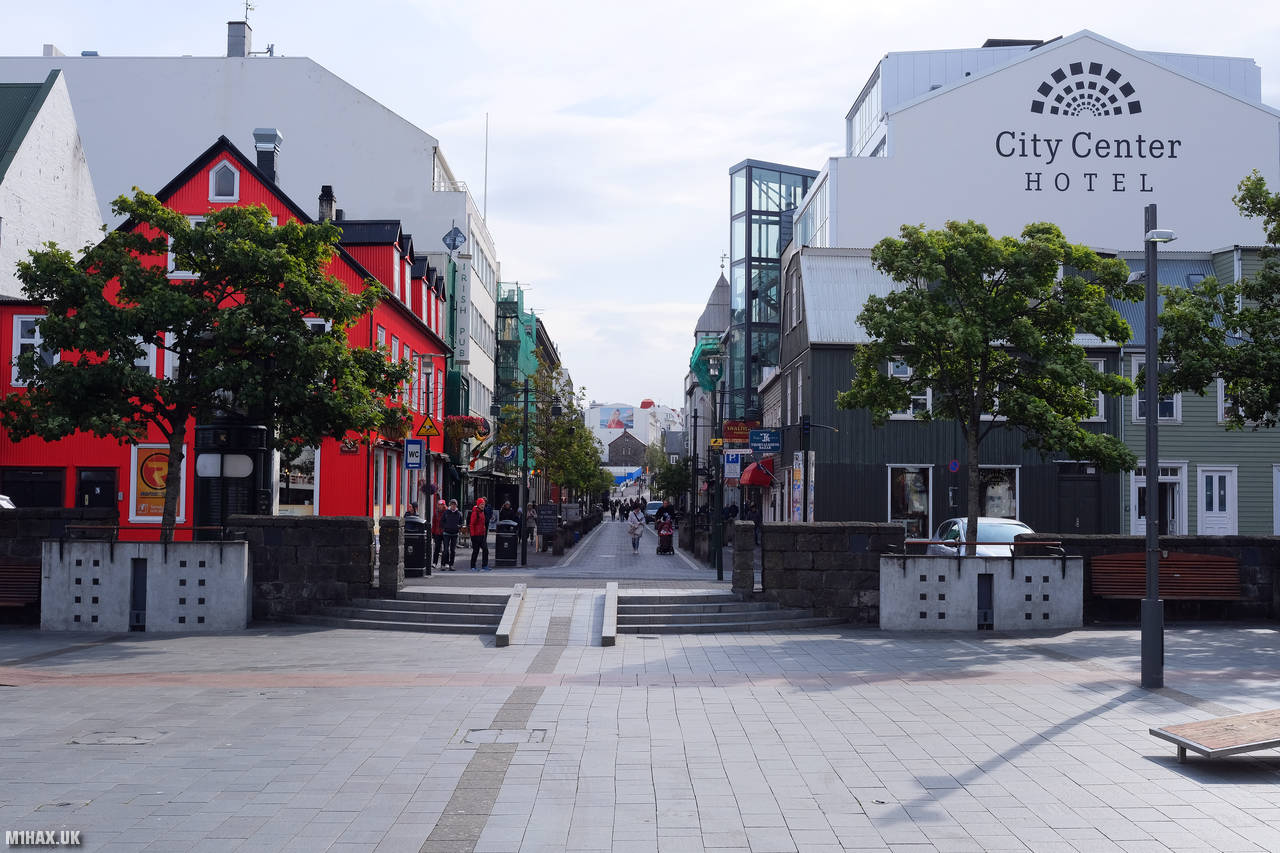
After leaving the hotel, we had a quiet breakfast in a small cafe on a side street. The food here was cheaper than the big places on the main high street but still pleasant. We had another walk around the docks and sea front area and found a curious tourist attraction called “Þúfa” (“The Tussock”), which has a spiral path leading visitors up a small hill to this outdoor art installation by artist Ólöf Norda. I had another attempt at making radio contacts around the city using my Yaesu VX6 handheld radio without any success.

For lunch, we had lamb kebabs at a dockside restaurant. Knowing that food during the expedition would be limited, we enjoyed what would surely be one of our last substantial meals for the next couple of weeks.
We then took another “Orange” transfer coach back from Reykjavik city to Keflavik airport. Gazing out the window of the coach for a couple of hours, I identified a number of SOTA summits on the horizon using the excellent SOTAGoat phone app.

After a quick sandwich at the airport, we joined a large queue for flight check-in. It was a surprisingly busy airport. There was a large group of older Americans all dressed in identical rain jackets in the queue for our flight. Apart from ourselves and a small number of locals, the rest of the plane was filled with an American tour group heading on to a cruise liner destined for the arctic. We boarded our Airbus A300 for the 8pm flight to Kangerlussuaq, Greenland.
Kangerlussuaq is a small town located in western Greenland. It is situated on the edge of the Greenland ice sheet and is known for having the largest airport in Greenland, providing access to the remotest regions of the country. It has a small population of around 500 people, mostly Inuit, with a small number of Danish settlers. The economy of Kangerlussuaq is based on tourism, fishing, and hunting. Some basic amenities are present, such as a hotel, restaurants, and a small grocery store. The town was originally built as a US military airbase during World War II and was later used as a science research station.
Today, Kangerlussuaq is a popular destination for tourists, who come to enjoy the natural beauty of the surrounding wilderness, including the ice sheet, glaciers, and fjords. Kangerlussuaq is a popular starting point for hiking and trekking adventures in the surrounding arctic wilderness. The nearby ice sheet is perhaps the main destination - for ice-cap trekking - while the nearby Søndre Strømfjord is a popular spot for kayaking and rafting. Additionally, the town is home to a variety of wildlife, including musk oxen, Arctic foxes, and reindeer.
The climate in Kangerlussuaq is Arctic, with long, cold winters and short, cool summers. The town is located on the edge of the Arctic Circle, so it experiences 24 hours of daylight during the summer and 24 hours of darkness during the winter.
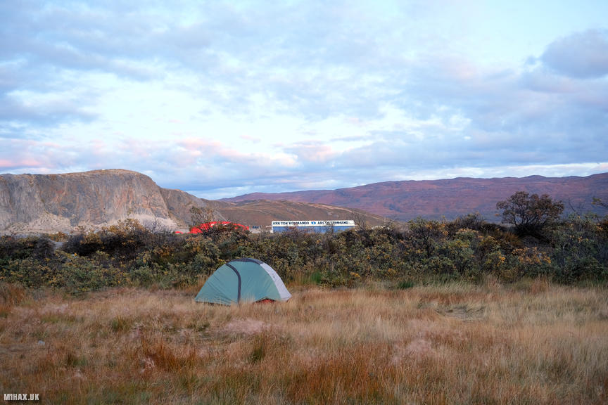
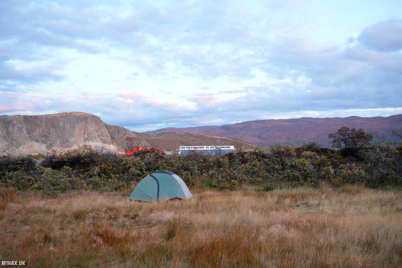
After arriving at Kangerlussuaq, we made the very short walk to the adjacent camping site. An enthusiastic Danish campsite manager chatted with us for a while and proceeded to relieve us of 60Kr for our tent pitches. He was collecting signatures from campers to campaign against plans to build a road alongside the Arctic Circle Trail to Sisimiut.
Surprisingly, camping next to an airstrip was more peaceful than initially expected, however, we were awoken at 2am by some drunk campers returning from (I presume) the hotel bar! In the morning we would join the tourist group on a coach ride to the ice sheet, where our journey on the Arctic Circle Trail would finally begin in earnest.
Click here to jump to the next entry in my Arctic Circle Trail hike diary.