Cadair Berwyn - GW/NW-012 SOTA (2019)

Summits on the Air Activation Report
Activation Date: Saturday 14th December, 2019.
Activator(s): Richard M1HAX.
Summit: Cadair Berwyn, North Wales, Wales.
Summit ID: SOTA reference GW/NW-012 (8+3 points).
Summit Height: 832m elevation, 346m prominence.
Summit Location: Lat./Long. 52.88060, -3.38099. Maidenhead Grid IO82hv.
Distance: 9.3km travelled with 810m of ascent.
Difficulty: SAC Grade T2.(?)
Elapsed Time: 3hr 10m (including operating).
Weather: Feels like -6.1°C, 54 kph WSW wind, 87% humidity.
Radio Equipment: Yaesu FTM100D, MFJ-1714, Zippy 4200mAh 4S LiFePo4.
Callsign Used: MW1HAX/P.
Contacts: 9 (2m FM).
Trip Notes
Cadair Berwyn is a prominent mountain located in Wales, known for its stunning views and nearby waterfall. It is the highest significant summit in Wales outside of the National Park areas.
Access to the starting area is via a long single-track road which can become problematically busy on sunny weekends. There is parking for dozens of cars but arrive early to avoid disappointment outside of winter.
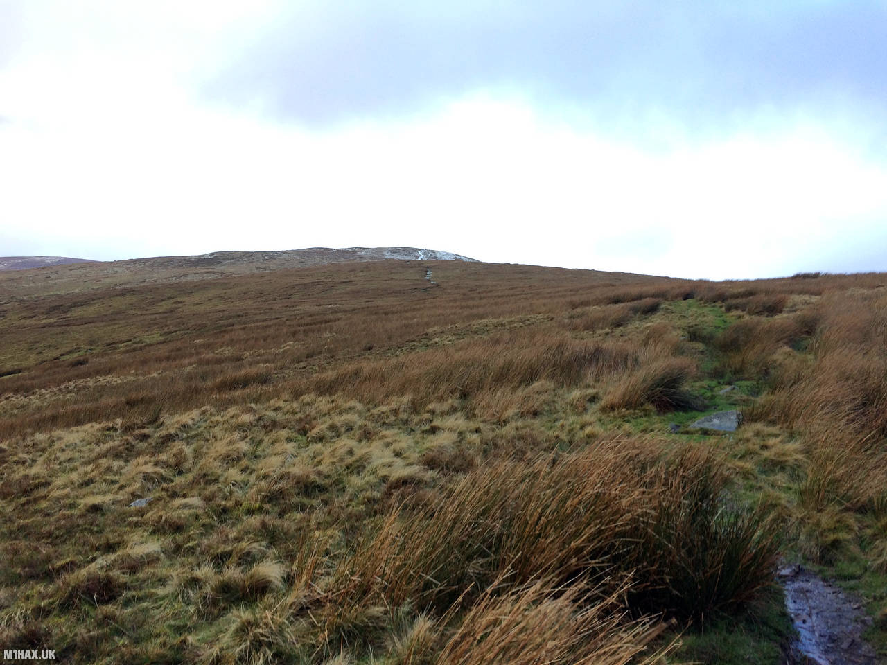
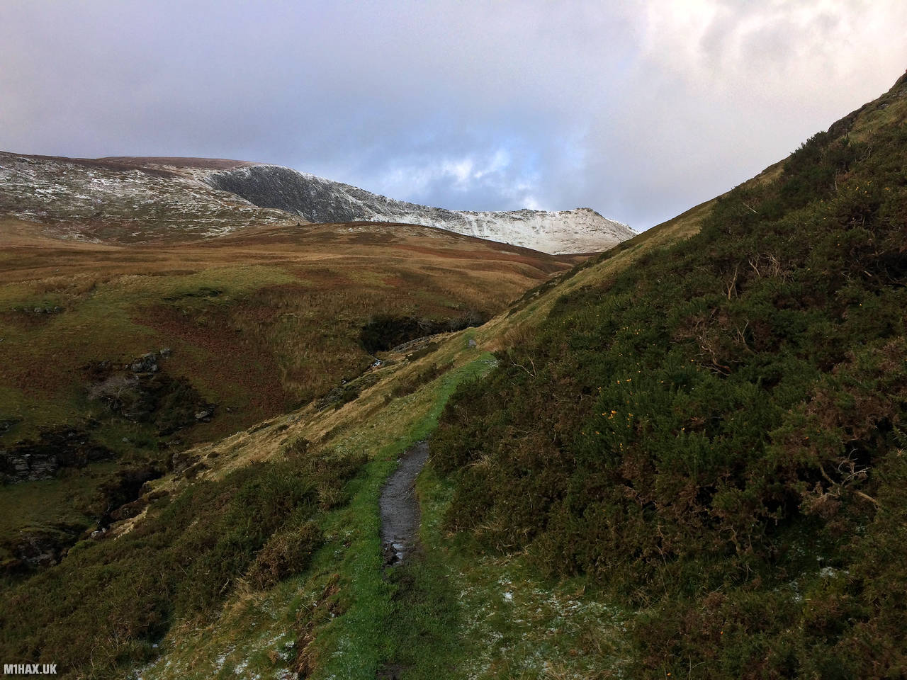
Starting my hike from the parking area located near the popular Tan-y-pistyll waterfall, I followed a straightforward circuit using two paths that converge on the summit from the car park. It took me slightly over three hours to complete.
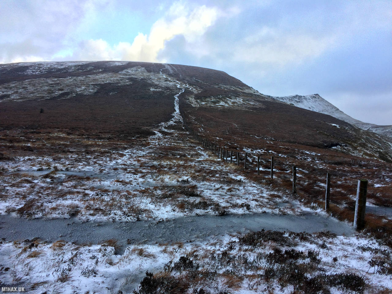
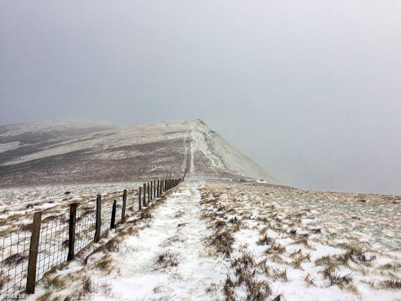
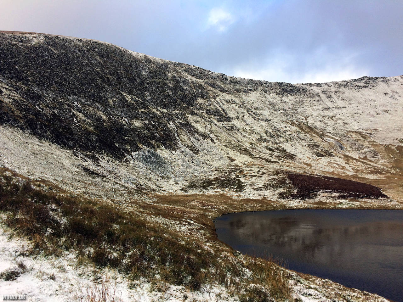
At certain times of year, the grassy slopes to the summit can be very muddy and boggy but in December the ground was frozen solid. The wind was fierce towards the summit, so much so that I had to put on my ski mask in order to see through the spin drift.
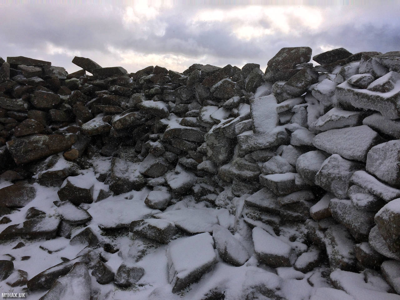
Sheltering from the biting cold in the summit shelter, I managed to spend almost half an hour at the top, operating my radio and logging a handful of VHF station contacts before the weather forced me to retreat.
One of the most notable features of this summit is its VHF take-off, which is particularly strong to the east, where the hill drops off steeply. This makes it an ideal spot for long summer day activations, providing an excellent opportunity to enjoy the scenery while making many radio contacts.
Photos
Below are some photographs taken during my activation of Cadair Berwyn on Saturday 14th December, 2019.


Walking Route for Cadair Berwyn
The interactive map below shows my GPS track taken to the SOTA activation zone for Cadair Berwyn. The GW/NW-012 summit area is marked on the map with a blue pin icon.
You can download the route shown above as a GPX file suitable for use with most GPS devices. This file is provided for information only, to support your own walk planning and research (it may contain navigation errors, detours and/or safety hazards). The route downloads provided here are governed by the Creative Commons BY-NC-SA 4.0 licence.
Station Log
I logged the following 9 amateur radio contacts operating as MW1HAX/P from GW/NW-012 Cadair Berwyn on Saturday 14th December, 2019 (all times shown are UTC):
| Time | Callsign | Band | Mode | Notes |
|---|---|---|---|---|
| 11:46 | M6NSV | 2m | FM | Neil, 5/9 |
| 11:48 | G0RPW | 2m | FM | Don, 5/5 |
| 11:49 | 2E0LKC | 2m | FM | Peter, 5/9 |
| 11:50 | GW4TQD | 2m | FM | Jon, 5/2 |
| 11:52 | G0SLR | 2m | FM | Roy, 5/7 |
| 11:53 | G0MYD | 2m | FM | Graham, 4/4 |
| 11:54 | 2E0MYD | 2m | FM | Ele, 4/4 |
| 11:55 | G6NHW | 2m | FM | Pete, 5/4 |
| 11:58 | MW0OFR | 2m | FM | Frank, 5/1 |
In the notes field I will usually log the other operator’s name and the signal report they provided. In accordance with the Summits on the Air rules, I do not make a log entry where a complete exchange of callsigns and signal reports was unsuccessful.
Additional Information
The following resources may be helpful to walkers, mountaineers and SOTA activators interested in Cadair Berwyn:
- Sotl.as Summit Page for GW/NW-012 Cadair Berwyn.
- Hill Bagging UK Summit Page for Cadair Berwyn.
- Google Maps Page for Cadair Berwyn.
- Wikipedia entry for Cadair Berwyn.
- 360° Panorama near summit of GW/NW-012 Cadair Berwyn.
If you found this content valuable, why not Buy Me a Coffee?