Mynydd Llangorse - GW/SW-015 SOTA (2020)

Summits on the Air Activation Report
Activation Date: Sunday 5th January, 2020.
Activator(s): Richard M1HAX, Andrew M1CJE.
Summit: Mynydd Llangorse, South Wales, Wales.
Summit ID: SOTA reference GW/SW-015 (2+3 points).
Summit Height: 515m elevation, 161m prominence.
Summit Location: Lat./Long. 51.93244, -3.22409. Maidenhead Grid IO81jw.
Distance: 3.4km travelled with 164m of ascent.
Difficulty: SAC Grade T1.(?)
Elapsed Time: 1hr 5m (including operating).
Weather: Feels like 2.2°C, 28 kph WSW wind, 98% humidity.
Radio Equipment: Yaesu FTM100D, MFJ-1714, Zippy 4200mAh 4S LiFePo4.
Callsign Used: MW1HAX/P.
Contacts: 4 (2m FM).
Trip Notes
Mynydd Llangorse is a hill located in the Brecon Beacons National Park in Wales, UK. It has a height of 515 meters (1,690 feet) and is situated near the village of Llangorse. In the 19th century, Mynydd Llangorse became a popular destination for visitors seeking the benefits of fresh air and exercise.
This hill is an easy 2-point summit in South Wales and is popularly paired with Mynydd Troed and Waun Fach, either in one large loop or as three distinct walks.
For this winter bonus activation Andrew M1CJE and I parked at Cockit Hill where there is space for half a dozen or so cars.
We walked south, following the obvious foot path arriving at the summit within half an hour or so.
The summit area is grassy and relatively flat, with a large activation zone. There is plenty of space for antenna setups.
Mynydd Llangorse is notoriously difficult to activate on 2-metre band, with poor take-off, flanked by taller hills in almost every direction. If you do not have a 50+ watt radio you may want to bring a HF station with you.
After a quick four QSO activation (including a nice summit to summit with G4TQE/P in England), Andrew made a few further contacts before we headed back down towards Cockit Hill.
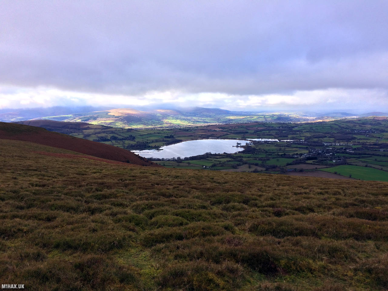
Photos
Below are some photographs taken during my activation of Mynydd Llangorse on Sunday 5th January, 2020.


Walking Route for Mynydd Llangorse
The interactive map below shows my GPS track taken to the SOTA activation zone for Mynydd Llangorse. The GW/SW-015 summit area is marked on the map with a blue pin icon.
You can download the route shown above as a GPX file suitable for use with most GPS devices. This file is provided for information only, to support your own walk planning and research (it may contain navigation errors, detours and/or safety hazards). The route downloads provided here are governed by the Creative Commons BY-NC-SA 4.0 licence.
Station Log
I logged the following 4 amateur radio contacts operating as MW1HAX/P from GW/SW-015 Mynydd Llangorse on Sunday 5th January, 2020 (all times shown are UTC):
| Time | Callsign | Band | Mode | Notes |
|---|---|---|---|---|
| 11:31 | G4TQE/P | 2m | FM | John, 5/4, S2S G/WB-005 |
| 11:33 | GW4GWH/P | 2m | FM | Mike, 5/9 |
| 11:35 | 2W0NXV/P | 2m | FM | Bryan, 5/9 |
| 11:36 | MW0XOT/P | 2m | FM | John, 5/9 |
In the notes field I will usually log the other operator’s name and the signal report they provided. In accordance with the Summits on the Air rules, I do not make a log entry where a complete exchange of callsigns and signal reports was unsuccessful.
Additional Information
The following resources may be helpful to walkers, mountaineers and SOTA activators interested in Mynydd Llangorse:
- Sotl.as Summit Page for GW/SW-015 Mynydd Llangorse.
- Hill Bagging UK Summit Page for Mynydd Llangorse.
- Google Maps Page for Mynydd Llangorse.
- Wikipedia entry for Mynydd Llangorse.
- 360° Panorama near summit of GW/SW-015 Mynydd Llangorse.
If you found this content valuable, why not Buy Me a Coffee?