Brown Clee Hill - G/WB-002 SOTA (2020)

Summits on the Air Activation Report
Activation Date: Saturday 29th February, 2020.
Activator(s): Richard M1HAX.
Summit: Brown Clee Hill, Welsh Borders, England.
Summit ID: SOTA reference G/WB-002 (2+3 points).
Summit Height: 540m elevation, 373m prominence.
Summit Location: Lat./Long. 52.47673, -2.59958. Maidenhead Grid IO82ql.
Distance: 3.9km travelled with 266m of ascent.
Difficulty: SAC Grade T1.(?)
Elapsed Time: 55m (including operating).
Weather: Feels like 2.2°C, 22 kph W wind, 65% humidity.
Radio Equipment: Yaesu FTM100D, MFJ-1714, Zippy 4200mAh 4S LiFePo4.
Callsign Used: M1HAX/P.
Contacts: 8 (2m FM).
Trip Notes
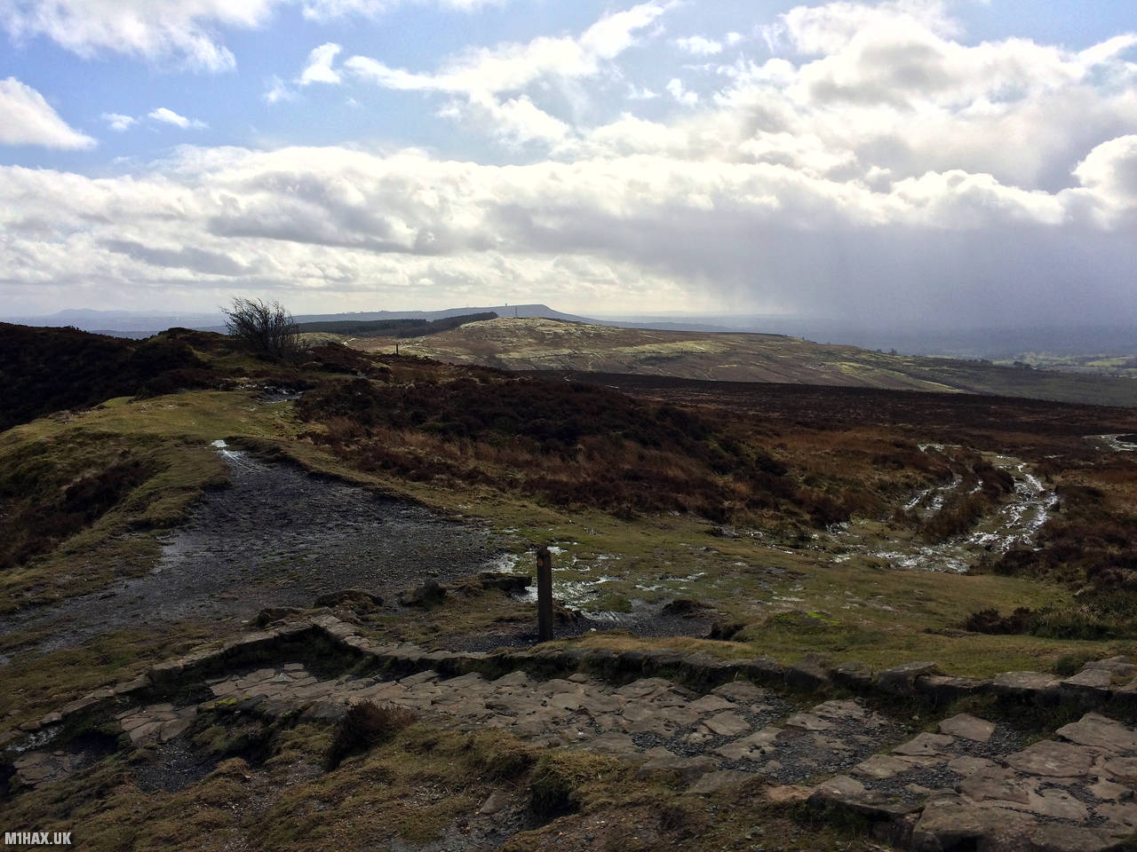
At 540 meters above sea level, Brown Clee Hill is the tallest peak in Shropshire, a rural county in England. It is one of the Clee Hills and is located within the Shropshire Hills Area of Outstanding Natural Beauty. Brown Clee Hill is situated five miles to the north of Titterstone Clee Hill, its sister and neighbour. The Burwarton Estate, owned by Viscount Boyne, possesses the hill’s eastern expanse, whereas the western fringes are owned by several private landowners and the parish of Clee St. Margaret.
This two-point hill is part of a group known as the Famous Five or Five Peaks Challenge in the SOTA community. This cluster of hills can be completed in a single winter’s day, to net an easy 25 points. When repeated either side of New Year, 50 points can be accumulated in short order.
For my 2020 run of the ‘Famous Five’ I activated them in the following order: GW/MW-013 (Corndon Hill), G/WB-003 (Stiperstones), G/WB-005 (Long Mynd), G/WB-002 (Brown Clee Hill), G/WB-004 (Titterstone Clee Hill).
This hill has the most significant amount of walking involved of the SOTA Famous Five. It took me about an hour to walk up and back down.
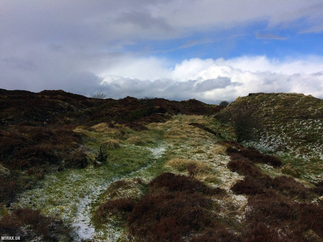
There are several possible routes up Brown Clee Hill, including using the Shropshire Way path. I chose to start from near Bank Farm to the NNE.
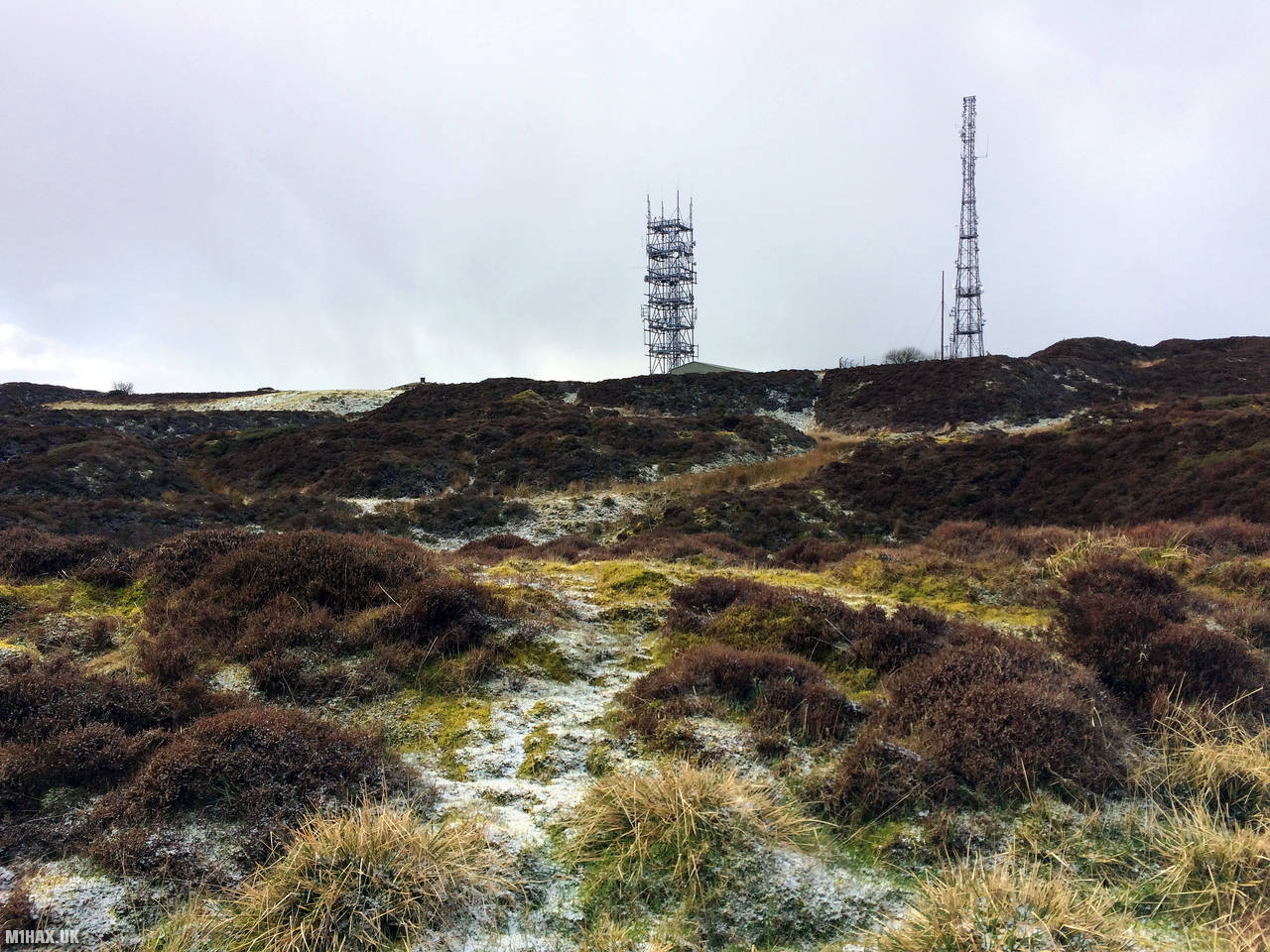
Following the permissive path along a steep access road, the road continues to wind its way up to the wireless station at the top. At about 490 metres ASL the road bends sharply - there is a more direct footpath available here, but sticking to the road is easier going.
I performed another quick Summits on the Air activation at the top. Despite the two large antenna masts at the summit, I did not experience much interference. After a few familiar callsigns were logged in my notebook, I retraced my steps back to the car.
Photos
Below are some photographs taken during my activation of Brown Clee Hill on Saturday 29th February, 2020.


Walking Route for Brown Clee Hill
The interactive map below shows my GPS track taken to the SOTA activation zone for Brown Clee Hill. The G/WB-002 summit area is marked on the map with a blue pin icon.
You can download the route shown above as a GPX file suitable for use with most GPS devices. This file is provided for information only, to support your own walk planning and research (it may contain navigation errors, detours and/or safety hazards). The route downloads provided here are governed by the Creative Commons BY-NC-SA 4.0 licence.
Station Log
I logged the following 8 amateur radio contacts operating as M1HAX/P from G/WB-002 Brown Clee Hill on Saturday 29th February, 2020 (all times shown are UTC):
| Time | Callsign | Band | Mode | Notes |
|---|---|---|---|---|
| 12:53 | M0JLA | 2m | FM | Rod, 5/9 |
| 12:54 | 2E0MDJ | 2m | FM | Matt, 5/9 |
| 12:55 | G0LGS | 2m | FM | Stewart, 5/9 |
| 12:56 | M0PYA | 2m | FM | Will, 5/9 |
| 12:57 | 2E0LKC | 2m | FM | Peter, 5/9 |
| 12:58 | 2E0LMD | 2m | FM | Anne, 5/9 |
| 12:59 | M0NTC | 2m | FM | Jez, 5/9 |
| 13:00 | M7KBO/M | 2m | FM | Tony, 5/9 |
In the notes field I will usually log the other operator’s name and the signal report they provided. In accordance with the Summits on the Air rules, I do not make a log entry where a complete exchange of callsigns and signal reports was unsuccessful.
Additional Information
The following resources may be helpful to walkers, mountaineers and SOTA activators interested in Brown Clee Hill:
- Sotl.as Summit Page for G/WB-002 Brown Clee Hill.
- Hill Bagging UK Summit Page for Brown Clee Hill.
- Google Maps Page for Brown Clee Hill.
- Wikipedia entry for Brown Clee Hill.
- 360° Panorama near summit of G/WB-002 Brown Clee Hill.
If you found this content valuable, why not Buy Me a Coffee?