Cefn yr Ystrad - GW/SW-008 SOTA (2020)

Summits on the Air Activation Report
Activation Date: Sunday 23rd February, 2020.
Activator(s): Richard M1HAX.
Summit: Cefn yr Ystrad, South Wales, Wales.
Summit ID: SOTA reference GW/SW-008 (4+3 points).
Summit Height: 619m elevation, 180m prominence.
Summit Location: Lat./Long. 51.81379, -3.32441. Maidenhead Grid IO81it.
Distance: 8.7km travelled with 422m of ascent.
Difficulty: SAC Grade T2.(?)
Elapsed Time: 2hr 15m (including operating).
Weather: Feels like 11.1°C, 48 kph W wind, 94% humidity.
Radio Equipment: Yaesu FTM100D, MFJ-1714, Zippy 4200mAh 4S LiFePo4.
Callsign Used: MW1HAX/P.
Contacts: 6 (2m FM).
Trip Notes
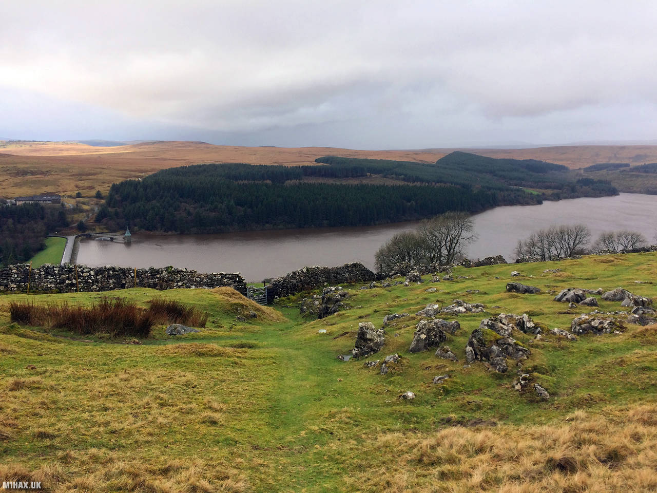
Cefn yr Ystrad is a Welsh mountain situated in the Brecon Beacons National Park, and it stands as an outlier of the Central Beacons cluster. With a broad ridge aligned northeast to southwest, it reaches 617 meters high and is one of the most southerly peaks in the region. The mountain’s summit area is a vast expanse of untamed moorland, with a trig point marking its highest point. This summit lies to the east of Pontsticill Reservoir.
This mountain is quite an easy four-point SOTA summit, requiring only about 180 metres of vertical ascent (from Pontsticill). I activated this during the winter bonus season, on the same day as separate hikes up GW/SW-012 Coity Mountain and GW/SW-014 Mynydd Carn-y-cefn.
For this ascent route I parked in the hamlet of Pontsticill. A footpath heads north-east towards Cefn yr Ystrad.
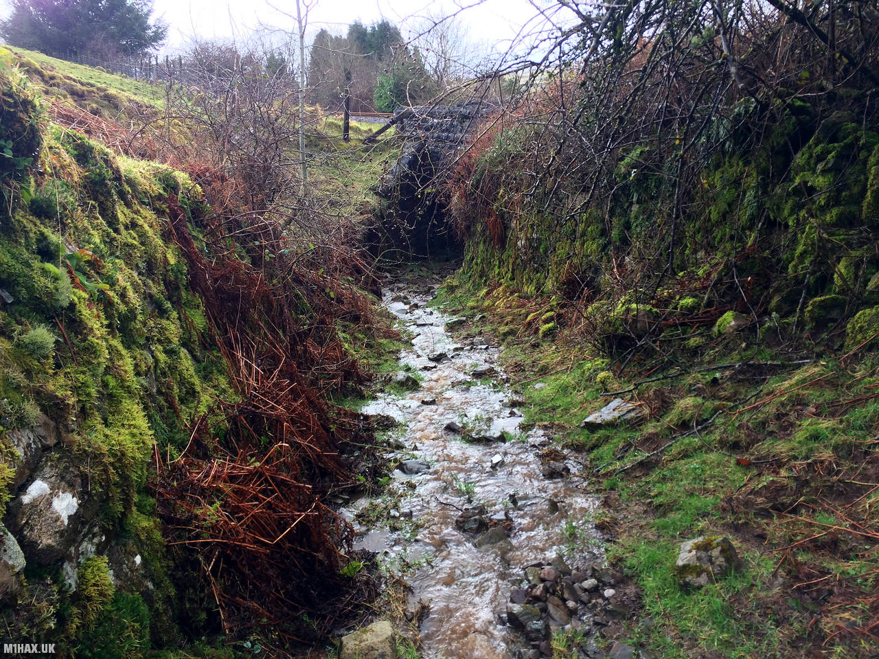
One of the first stages of the path had unfortunately turned in to a bit of a river due to recent heavy rains. I was glad to have my waterproof boots on this walk.
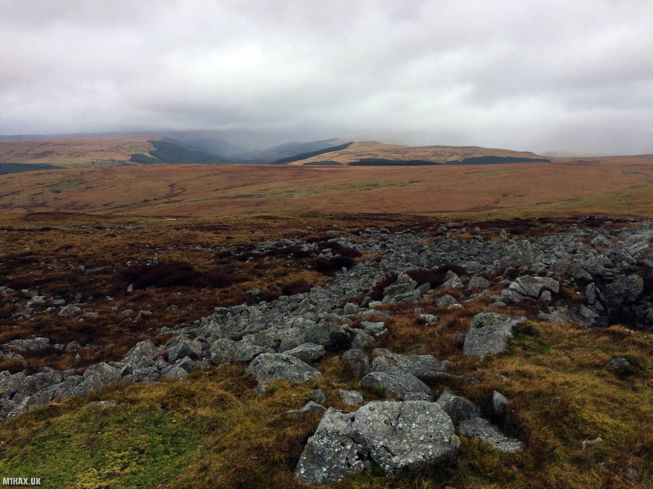
As the path heads away from farmland and up the mountain, it becomes fainter and some navigation skill is required.
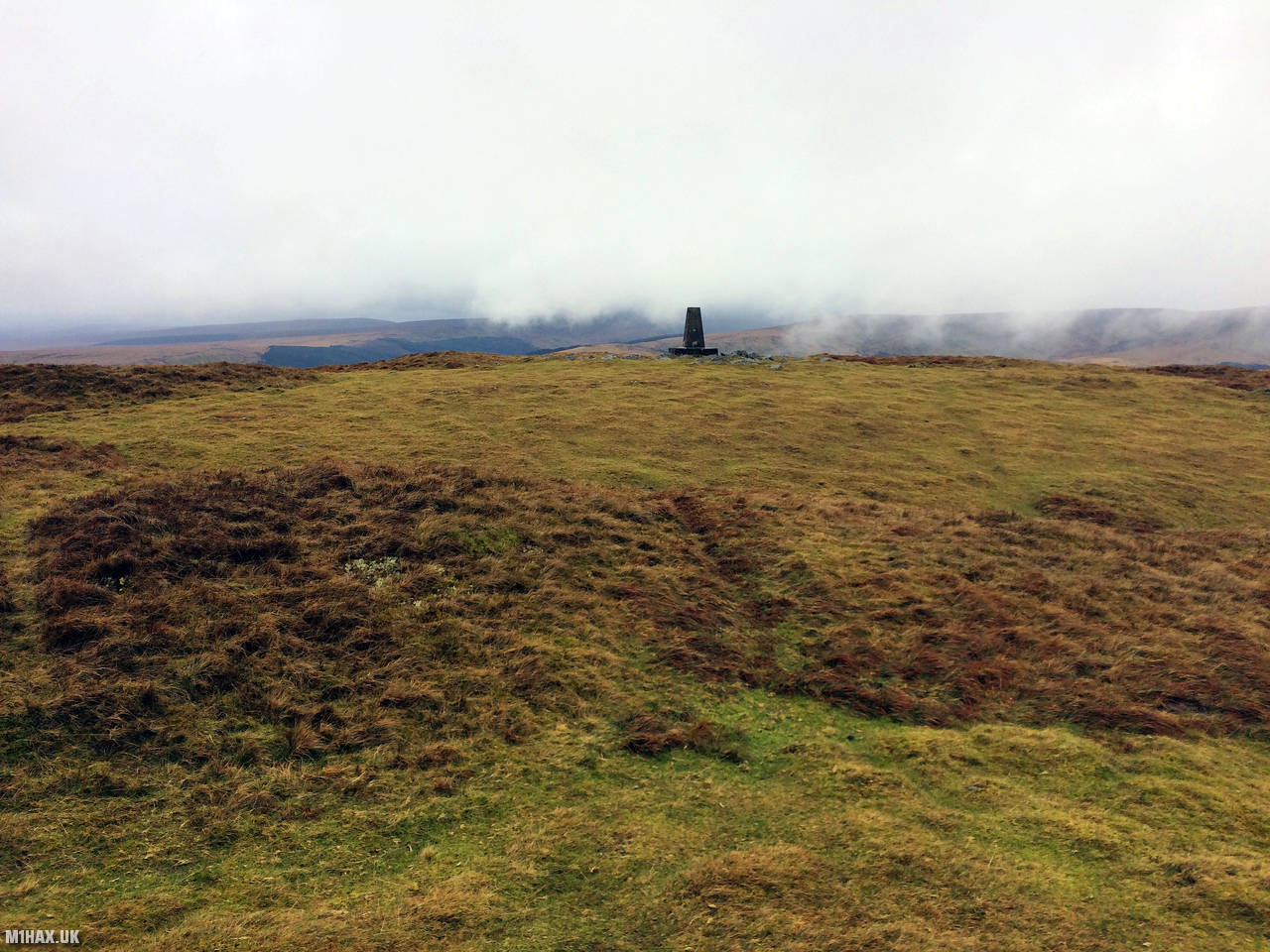
Eventually the trig point at 619m comes in to view. I used the trig as an operating table for my Yaesu FTM100D and MFJ-1714 and made six contacts easily in about 5 minutes.
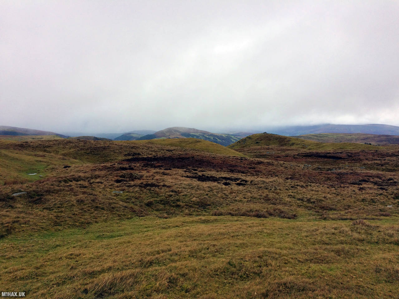
To return to the car, I retraced my steps. This spacious mountain plateau lends itself to a bigger day of exploring or navigation practice, or as a part of a bigger walk - perhaps including GW/SW-013 Tor y Foel to the north east.
Photos
Below are some photographs taken during my activation of Cefn yr Ystrad on Sunday 23rd February, 2020.


Walking Route for Cefn yr Ystrad
The interactive map below shows my GPS track taken to the SOTA activation zone for Cefn yr Ystrad. The GW/SW-008 summit area is marked on the map with a blue pin icon.
You can download the route shown above as a GPX file suitable for use with most GPS devices. This file is provided for information only, to support your own walk planning and research (it may contain navigation errors, detours and/or safety hazards). The route downloads provided here are governed by the Creative Commons BY-NC-SA 4.0 licence.
Station Log
I logged the following 6 amateur radio contacts operating as MW1HAX/P from GW/SW-008 Cefn yr Ystrad on Sunday 23rd February, 2020 (all times shown are UTC):
| Time | Callsign | Band | Mode | Notes |
|---|---|---|---|---|
| 09:40 | G0LGS | 2m | FM | Stewart, 5/9 |
| 09:41 | MW0MZM | 2m | FM | Mark, 5/9 |
| 09:42 | 2W0FLW | 2m | FM | Derek, 5/9 |
| 09:43 | G0RQL | 2m | FM | Don, 5/3 |
| 09:44 | 2E0RYR | 2m | FM | Roger, 5/1 |
| 09:45 | G4TCI | 2m | FM | Mike, 5/3 |
In the notes field I will usually log the other operator’s name and the signal report they provided. In accordance with the Summits on the Air rules, I do not make a log entry where a complete exchange of callsigns and signal reports was unsuccessful.
Additional Information
The following resources may be helpful to walkers, mountaineers and SOTA activators interested in Cefn yr Ystrad:
- Sotl.as Summit Page for GW/SW-008 Cefn yr Ystrad.
- Hill Bagging UK Summit Page for Cefn yr Ystrad.
- Google Maps Page for Cefn yr Ystrad.
- Wikipedia entry for Cefn yr Ystrad.
- 360° Panorama near summit of GW/SW-008 Cefn yr Ystrad.
If you found this content valuable, why not Buy Me a Coffee?