Coity Mountain - GW/SW-012 SOTA (2020)

Summits on the Air Activation Report
Activation Date: Sunday 23rd February, 2020.
Activator(s): Richard M1HAX.
Summit: Coity Mountain, South Wales, Wales.
Summit ID: SOTA reference GW/SW-012 (2+3 points).
Summit Height: 578m elevation, 231m prominence.
Summit Location: Lat./Long. 51.76531, -3.11489. Maidenhead Grid IO81ks.
Distance: 5.6km travelled with 251m of ascent.
Difficulty: SAC Grade T1.(?)
Elapsed Time: 1hr 40m (including operating).
Weather: Feels like 11.1°C, 33 kph WNW wind, 82% humidity.
Radio Equipment: Yaesu FTM100D, MFJ-1714, Zippy 4200mAh 4S LiFePo4.
Callsign Used: MW1HAX/P.
Contacts: 4 (2m FM).
Trip Notes
Coity Mountain, also known as Mynydd Coety in Welsh, is a mountain located in the South Wales Valleys, situated between the towns of Blaenavon and Abertillery. The summit of Coity Mountain marks the highest points of both Torfaen and Blaenau Gwent unitary authorities. The summit is also referred to as Twyn Ffynhonnau Goerion.
The mountain is one of several easy two-point SOTA hills to the south of the Brecon Beacon range. These are best completed in a single day during the winter bonus period.
There is space for three or four cars down a narrow lane heading towards the Cwmtillery Reservoir from Cwmtillery.
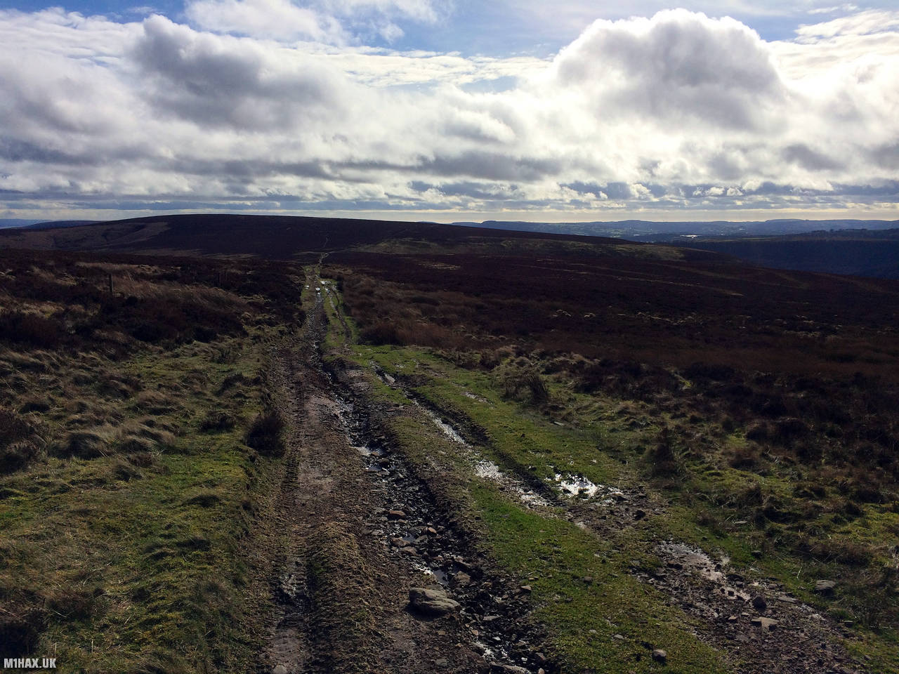
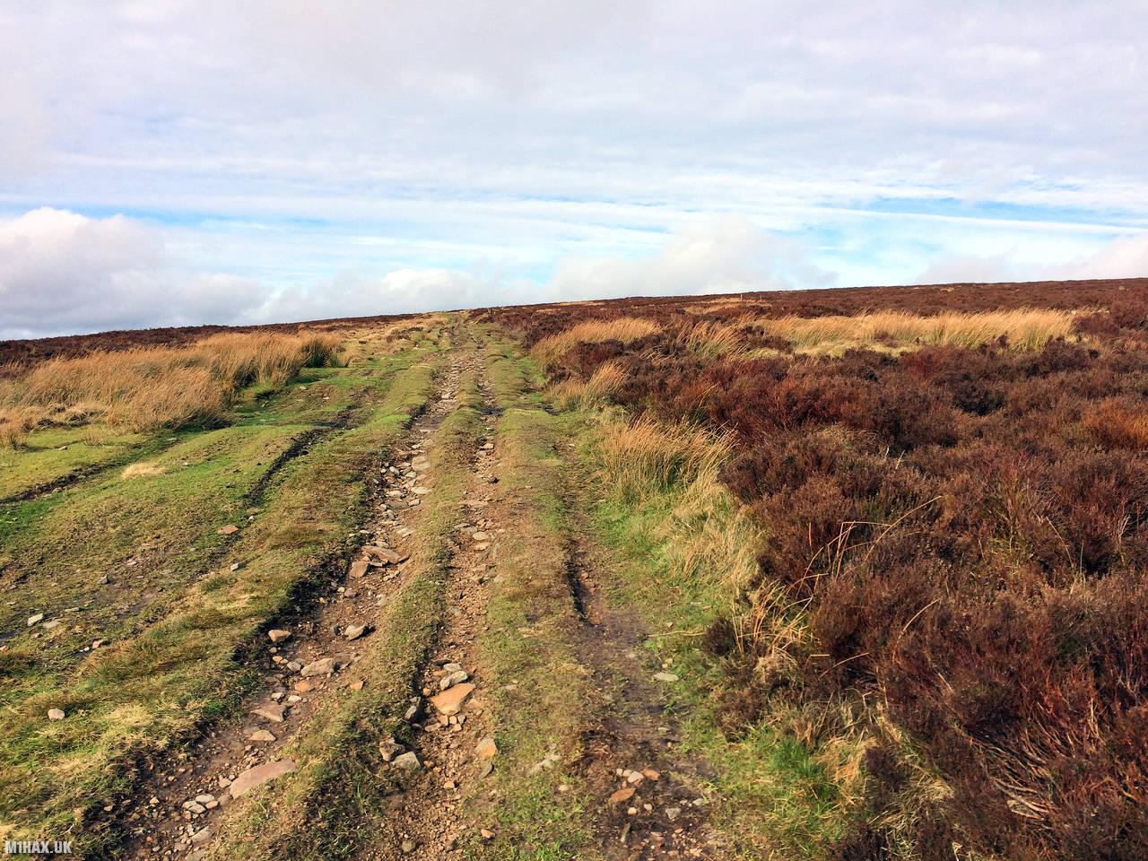
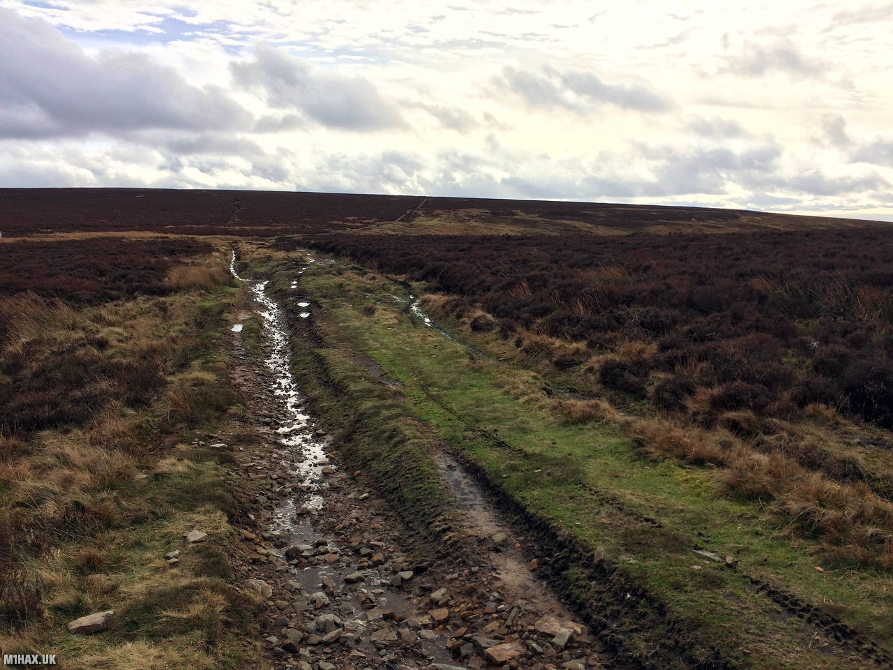
The walking route traverses some farmland via paths, before gaining a 4x4 track which leads up towards the summit plateau. This hill is popular with locals on offroad motorbikes due to the bridleway access.
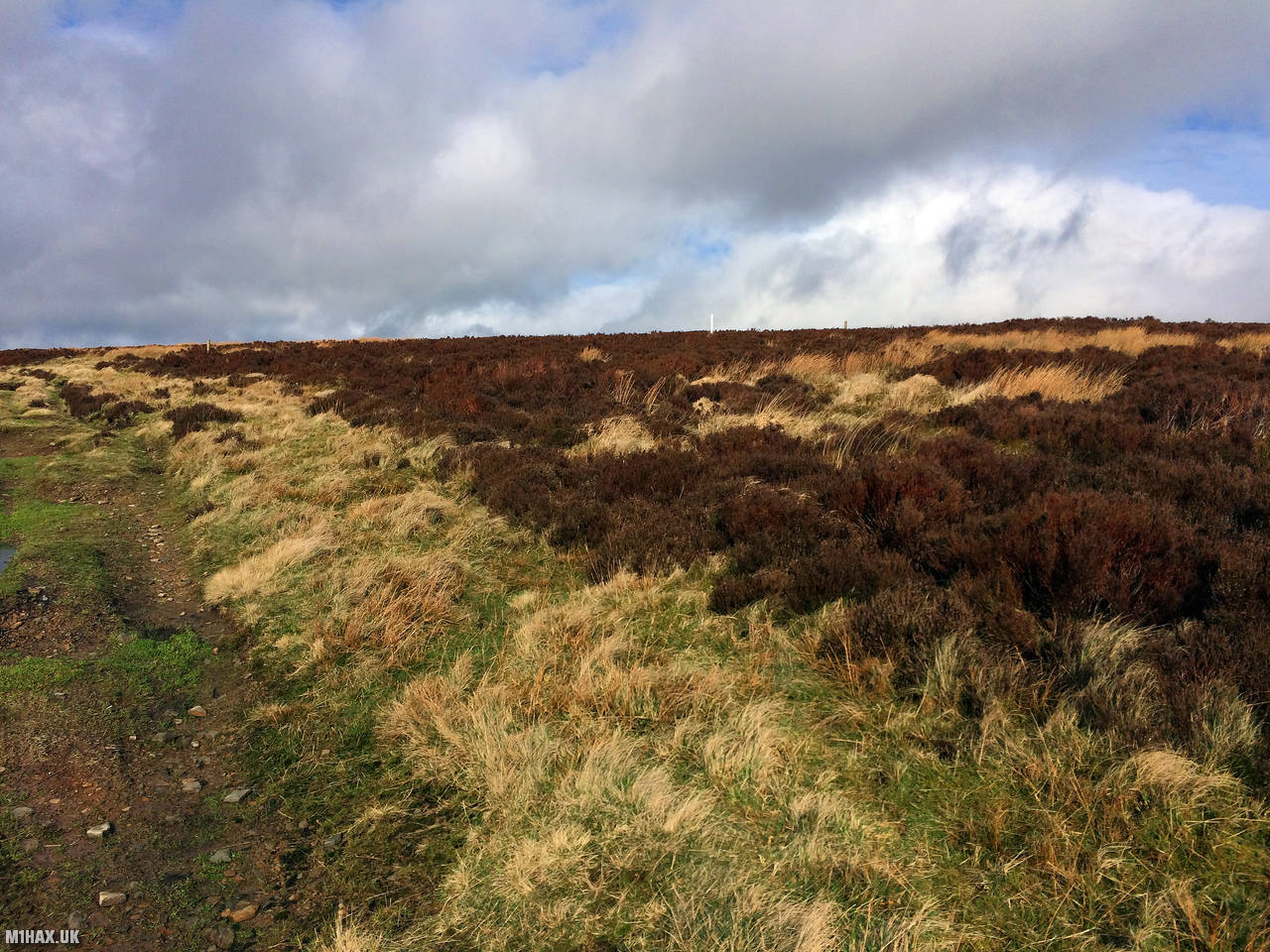
Turning north once the main upper track is reached, I followed the path until a white post is visible (pictured). This conveniently marks that it is time to get the map out and head directly to the summit. Incidentally, it would appear a part of the main track sits within the activation zone; however, I have always headed in to the heather.
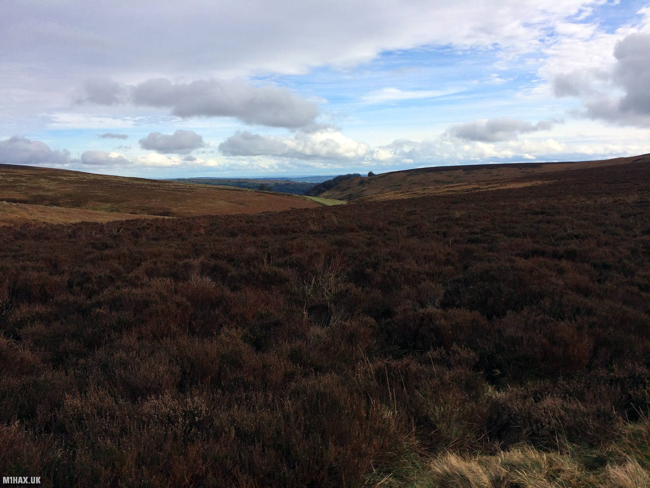
The summit is mostly broad, flat, and lacks distinguishing characteristics. Access from the nearby track is simply by heather bashing on a compass bearing for a while. There is a very slight knoll which has less heather on it at the summit and this is where I activated from.
After a relatively fast four QSOs on the two metre band, I headed back the way I had originated from back towards the car.
Photos
Below are some photographs taken during my activation of Coity Mountain on Sunday 23rd February, 2020.


Walking Route for Coity Mountain
The interactive map below shows my GPS track taken to the SOTA activation zone for Coity Mountain. The GW/SW-012 summit area is marked on the map with a blue pin icon.
You can download the route shown above as a GPX file suitable for use with most GPS devices. This file is provided for information only, to support your own walk planning and research (it may contain navigation errors, detours and/or safety hazards). The route downloads provided here are governed by the Creative Commons BY-NC-SA 4.0 licence.
Station Log
I logged the following 4 amateur radio contacts operating as MW1HAX/P from GW/SW-012 Coity Mountain on Sunday 23rd February, 2020 (all times shown are UTC):
| Time | Callsign | Band | Mode | Notes |
|---|---|---|---|---|
| 13:47 | 2E0MDJ | 2m | FM | Matt, 5/9 |
| 13:48 | G0LGS | 2m | FM | Stewart, 5/9 |
| 13:49 | G1ERM | 2m | FM | Darren, 5/5 |
| 13:52 | G8CMU | 2m | FM | Mike, 5/9 |
In the notes field I will usually log the other operator’s name and the signal report they provided. In accordance with the Summits on the Air rules, I do not make a log entry where a complete exchange of callsigns and signal reports was unsuccessful.
Additional Information
The following resources may be helpful to walkers, mountaineers and SOTA activators interested in Coity Mountain:
- Sotl.as Summit Page for GW/SW-012 Coity Mountain.
- Hill Bagging UK Summit Page for Coity Mountain.
- Google Maps Page for Coity Mountain.
- Wikipedia entry for Coity Mountain.
- 360° Panorama near summit of GW/SW-012 Coity Mountain.
If you found this content valuable, why not Buy Me a Coffee?