Corndon Hill - GW/MW-013 SOTA (2020)

Summits on the Air Activation Report
Activation Date: Saturday 29th February, 2020.
Activator(s): Richard M1HAX.
Summit: Corndon Hill, Mid Wales, Wales.
Summit ID: SOTA reference GW/MW-013 (2+3 points).
Summit Height: 514m elevation, 203m prominence.
Summit Location: Lat./Long. 52.56570, -3.02529. Maidenhead Grid IO82ln.
Distance: 1.8km travelled with 172m of ascent.
Difficulty: SAC Grade T1.(?)
Elapsed Time: 50m (including operating).
Weather: Feels like 1.1°C, 24 kph W wind, 78% humidity.
Radio Equipment: Yaesu FTM100D, MFJ-1714, Zippy 4200mAh 4S LiFePo4.
Callsign Used: MW1HAX/P.
Contacts: 11 (2m FM).
Trip Notes
Corndon Hill, or Cornatyn in Welsh, is a modest hill located in Powys, Mid Wales. With an isolated summit that rises 514 metres above sea level, Corndon Hill is a prominent landmark along the border between Wales and England. The hill is surrounded by the English county of Shropshire on three sides and offers excellent panoramic views of the surrounding landscape.
This two-point hill is part of a group known as the Famous Five or Five Peaks Challenge in the SOTA community. This cluster of hills can be completed in a single winter’s day, to net an easy 25 points. When repeated either side of New Year, 50 points can be accumulated in short order.
For my 2020 run of the ‘Famous Five’ I activated them in the following order: GW/MW-013 (Corndon Hill), G/WB-003 (Stiperstones), G/WB-005 (Long Mynd), G/WB-002 (Brown Clee Hill), G/WB-004 (Titterstone Clee Hill).
I parked at the start of a short lane to the immediate north west of the summit.
Following the track south, head left in to the field at the stile and follow the fence line directly to the summit. There is a faint grassy path leading all the way up (slippery when it has been raining!).
A cairn and trig point at the summit are accompanied by a wooden seating bench. Radio contacts from the bench came easily, including a summit-to-summit contact with Andrew M1CJE on Coity Mountain to the south.
After about twenty minutes on the summit in the mist, I made my way back to the car, where I would drive to the next summit, Stiperstones.
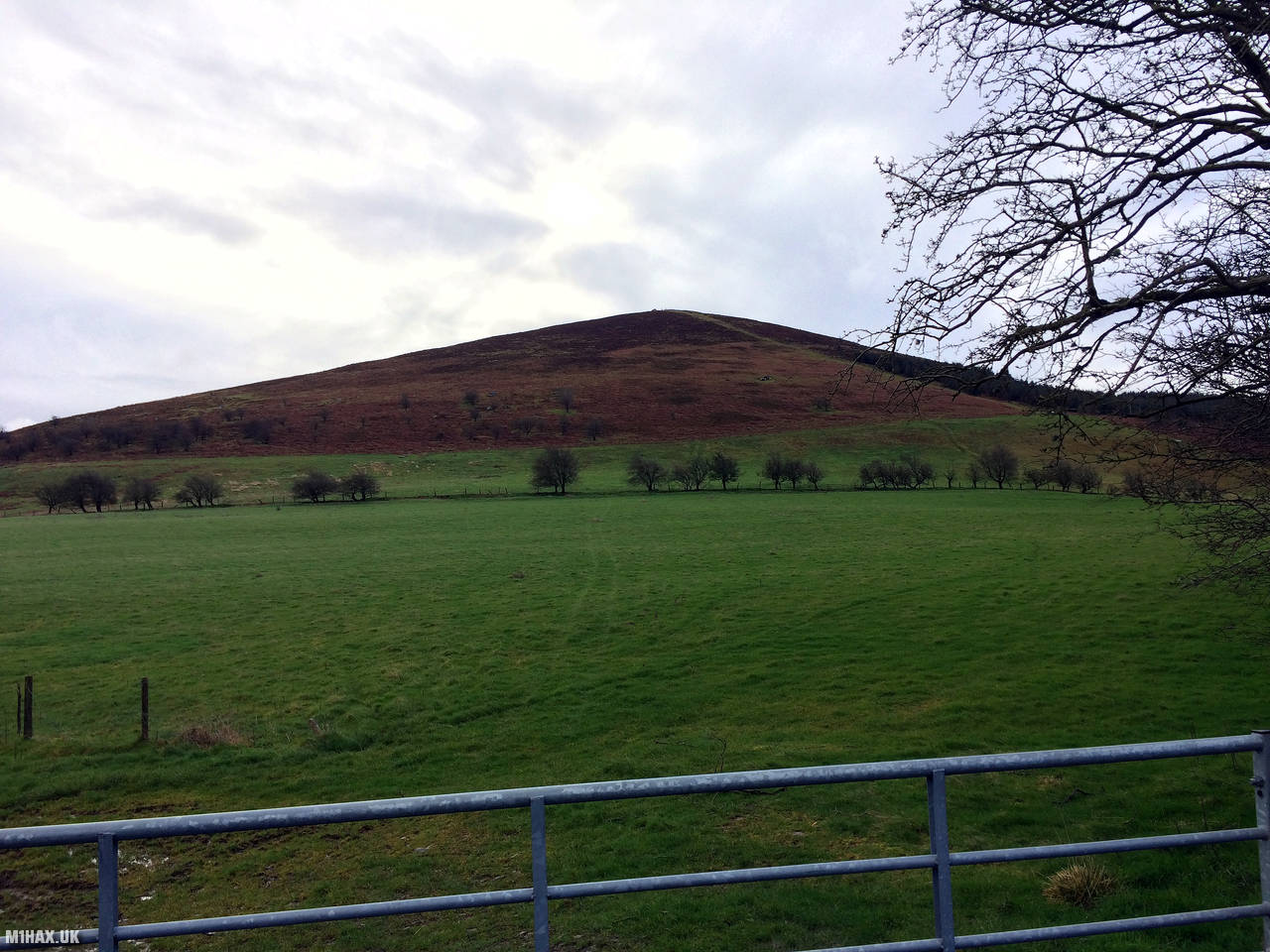
Photos
Below are some photographs taken during my activation of Corndon Hill on Saturday 29th February, 2020.

Walking Route for Corndon Hill
The interactive map below shows my GPS track taken to the SOTA activation zone for Corndon Hill. The GW/MW-013 summit area is marked on the map with a blue pin icon.
You can download the route shown above as a GPX file suitable for use with most GPS devices. This file is provided for information only, to support your own walk planning and research (it may contain navigation errors, detours and/or safety hazards). The route downloads provided here are governed by the Creative Commons BY-NC-SA 4.0 licence.
Station Log
I logged the following 11 amateur radio contacts operating as MW1HAX/P from GW/MW-013 Corndon Hill on Saturday 29th February, 2020 (all times shown are UTC):
| Time | Callsign | Band | Mode | Notes |
|---|---|---|---|---|
| 09:40 | G1ERM | 2m | FM | Darren, 5/5 |
| 09:41 | MW1CJE | 2m | FM | Andrew, 5/9 |
| 09:43 | G4VSS | 2m | FM | Mike, 5/9 |
| 09:44 | 2E0LKC | 2m | FM | Peter, 5/9 |
| 09:45 | 2E0LMD | 2m | FM | Anne, 5/9 |
| 09:47 | M0WYP | 2m | FM | Josh, 5/9 |
| 09:48 | 2E0KPD | 2m | FM | Paul, 5/9 |
| 09:49 | 2E0HOY | 2m | FM | Steve, 5/9 |
| 09:50 | G0EML | 2m | FM | Ray, 5/9 |
| 09:58 | MW1CJE | 2m | FM | Andrew, 5/9, S2S GW/SW-012 |
| 10:00 | MW6XPE | 2m | FM | Pete, 5/9 |
In the notes field I will usually log the other operator’s name and the signal report they provided. In accordance with the Summits on the Air rules, I do not make a log entry where a complete exchange of callsigns and signal reports was unsuccessful.
Additional Information
The following resources may be helpful to walkers, mountaineers and SOTA activators interested in Corndon Hill:
- Sotl.as Summit Page for GW/MW-013 Corndon Hill.
- Hill Bagging UK Summit Page for Corndon Hill.
- Google Maps Page for Corndon Hill.
- Wikipedia entry for Corndon Hill.
- 360° Panorama near summit of GW/MW-013 Corndon Hill.
If you found this content valuable, why not Buy Me a Coffee?