Craig y Llyn - GW/SW-010 SOTA (2020)

Summits on the Air Activation Report
Activation Date: Saturday 22nd February, 2020.
Activator(s): Richard M1HAX.
Summit: Craig y Llyn, South Wales, Wales.
Summit ID: SOTA reference GW/SW-010 (4+3 points).
Summit Height: 600m elevation, 392m prominence.
Summit Location: Lat./Long. 51.71642, -3.58377. Maidenhead Grid IO81er.
Distance: 4.4km travelled with 135m of ascent.
Difficulty: SAC Grade T1.(?)
Elapsed Time: 1hr 15m (including operating).
Weather: Feels like 3.3°C, 30 kph WSW wind, 85% humidity.
Radio Equipment: Yaesu FTM100D, MFJ-1714, Zippy 4200mAh 4S LiFePo4.
Callsign Used: MW1HAX/P.
Contacts: 6 (2m FM).
Trip Notes
Craig y Llyn, a 600m summit in South Wales, is an easy 4 point SOTA summit, perfect for adding in to a day of hill walking during the winter bonus period.
For this trip I was activating the hill after having completed GW/SW-006 and GW/SW-007 earlier in the day.
I reached the starting point of the hike by following the mountain pass road from Hirwaun village. There are a couple of small parking areas available along the Rhisgos road where I parked.
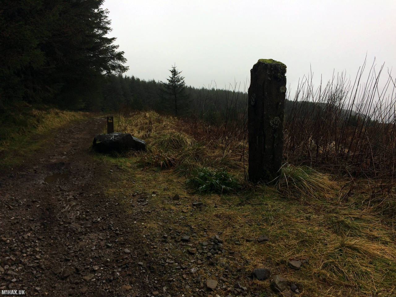
I followed well-defined gravel paths that connected the road to the summit. It took me about half an hour to reach the summit, and the trail was easy going with only about 130 metres of ascent.
There is a trig point located within the forest, but I chose to activate from the path instead. I used a large rock as a seat or table for my equipment during my activation.
After a quick activation, I made my way back down the same way I came and returned to my car.
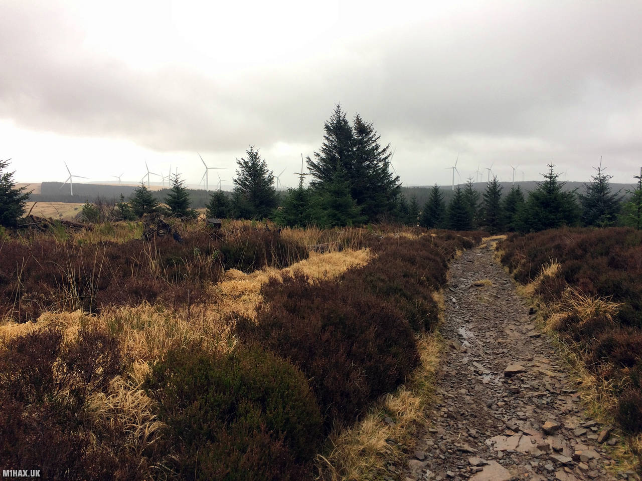
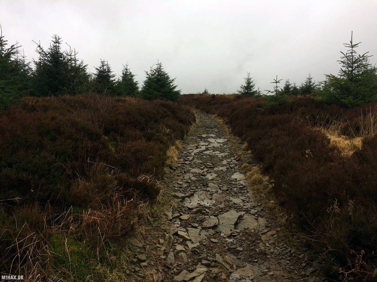
Photos
Below are some photographs taken during my activation of Craig y Llyn on Saturday 22nd February, 2020.


Walking Route for Craig y Llyn
The interactive map below shows my GPS track taken to the SOTA activation zone for Craig y Llyn. The GW/SW-010 summit area is marked on the map with a blue pin icon.
You can download the route shown above as a GPX file suitable for use with most GPS devices. This file is provided for information only, to support your own walk planning and research (it may contain navigation errors, detours and/or safety hazards). The route downloads provided here are governed by the Creative Commons BY-NC-SA 4.0 licence.
Station Log
I logged the following 6 amateur radio contacts operating as MW1HAX/P from GW/SW-010 Craig y Llyn on Saturday 22nd February, 2020 (all times shown are UTC):
| Time | Callsign | Band | Mode | Notes |
|---|---|---|---|---|
| 14:25 | MW6SON | 2m | FM | Greg, 5/9 |
| 14:26 | MW0UKX | 2m | FM | Gareth, 5/9 |
| 14:27 | MW6IUT | 2m | FM | Bryan, 5/9 |
| 14:28 | GW7MMG | 2m | FM | Phil, 5/7 |
| 14:29 | GW6OVD | 2m | FM | Mal, 5/9 |
| 14:31 | GW4MTE | 2m | FM | Richard, 5/5 |
In the notes field I will usually log the other operator’s name and the signal report they provided. In accordance with the Summits on the Air rules, I do not make a log entry where a complete exchange of callsigns and signal reports was unsuccessful.
Additional Information
The following resources may be helpful to walkers, mountaineers and SOTA activators interested in Craig y Llyn:
- Sotl.as Summit Page for GW/SW-010 Craig y Llyn.
- Hill Bagging UK Summit Page for Craig y Llyn.
- Google Maps Page for Craig y Llyn.
- Wikipedia entry for Craig y Llyn.
If you found this content valuable, why not Buy Me a Coffee?