Fan Gyhirych - GW/SW-006 SOTA (2020)

Summits on the Air Activation Report
Activation Date: Saturday 22nd February, 2020.
Activator(s): Richard M1HAX.
Summit: Fan Gyhirych, South Wales, Wales.
Summit ID: SOTA reference GW/SW-006 (6+3 points).
Summit Height: 725m elevation, 280m prominence.
Summit Location: Lat./Long. 51.85940, -3.62699. Maidenhead Grid IO81eu.
Also Activated: GW/SW-007.
Distance: 18.6km travelled with 890m of ascent.
Difficulty: SAC Grade T1.(?)
Elapsed Time: 4hr 40m (incl. operating and other summit(s) on the same hike).
Weather: Feels like 4.4°C, 26 kph WSW wind, 90% humidity.
Radio Equipment: Yaesu FTM100D, MFJ-1714, Zippy 4200mAh 4S LiFePo4.
Callsign Used: MW1HAX/P.
Contacts: 5 (2m FM).
Trip Notes
Fan Gyhirych is a mountain peak located in the Brecon Beacons National Park, Wales, United Kingdom. It has an elevation of 725m and is one of the highest peaks in the Fforest Fawr range. It is classed as a six point hill for the Summits on the Air amateur radio award scheme.
The summit can be gained directly from the main road to the west, but for this activation I chose to follow a longer option from the south. This route was originally introduced to me by Andrew M1CJE.
The hike starts from a large gravel car park (free) at the South Wales Caving Club in Penwyllt, near Abercraf.
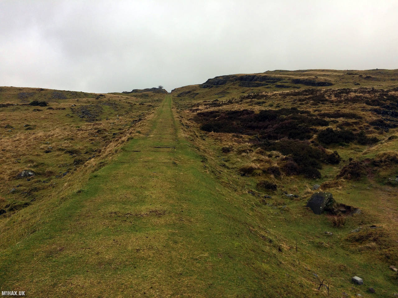
Following old mining ramps up the side of the hill, there is plenty of evidence here of historical industry.
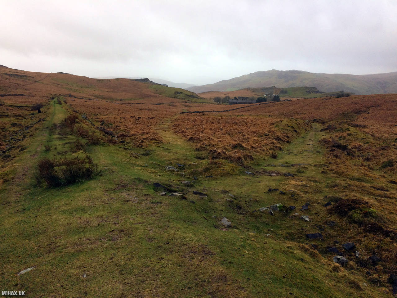
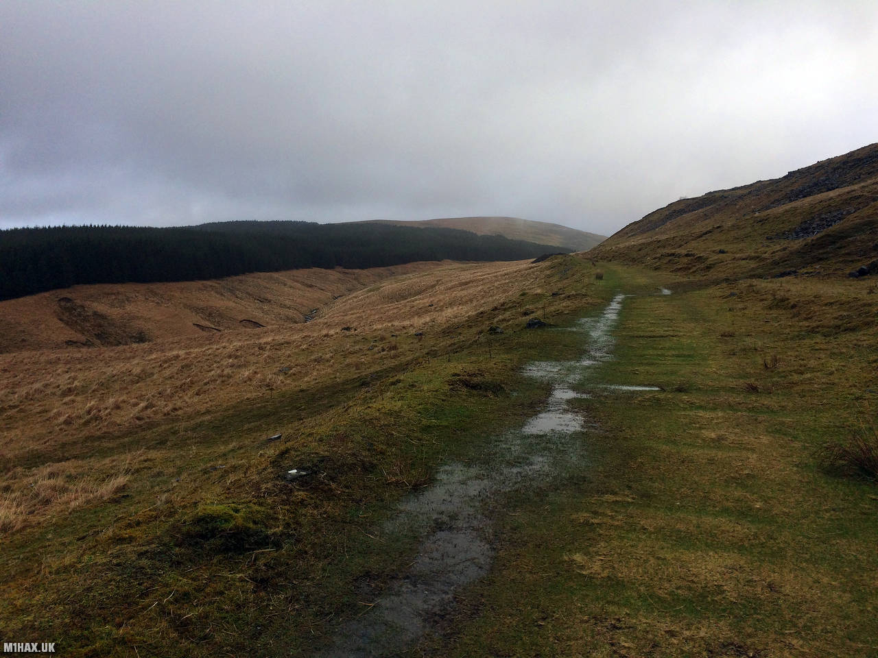
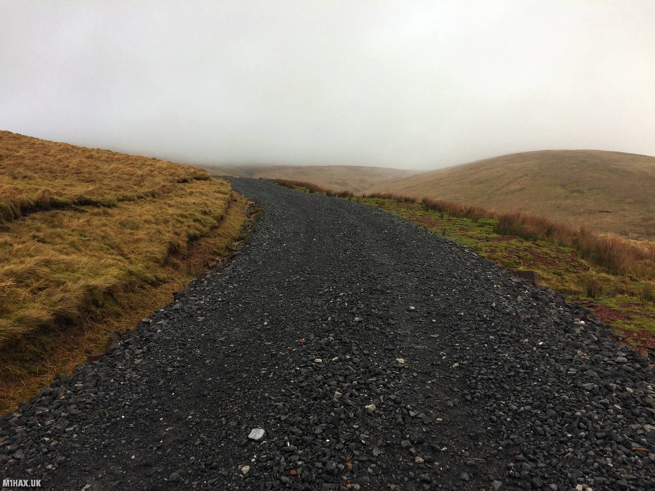
Eventually a large gravel forestry road is reached and this is followed upwards for about a mile.
A reasonably easy and short diversion up the grassy slopes of Fan Gyhirych quickly gains the summit.
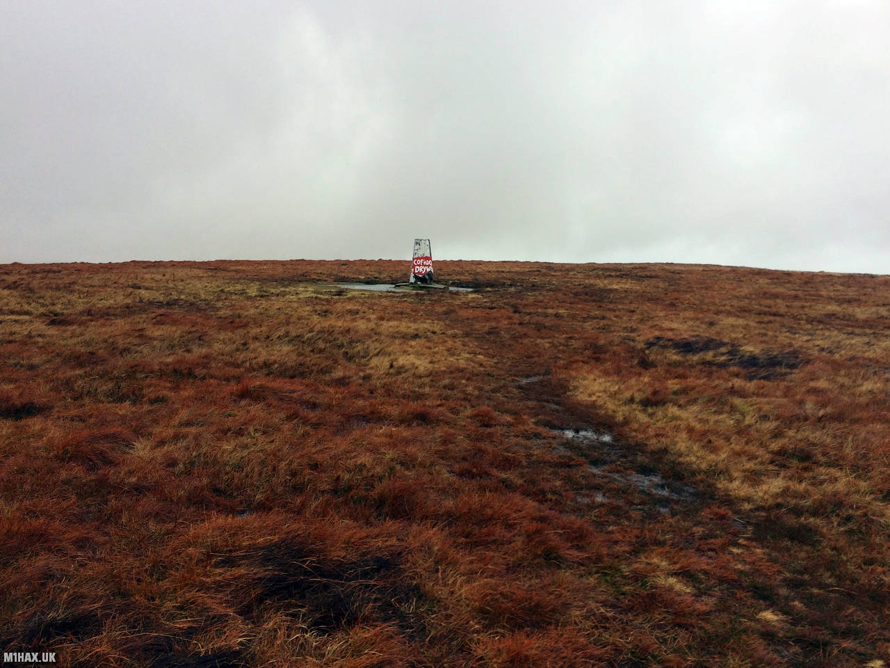
With poor weather, I quickly set up my Yaesu FTM100D on the trig point and made a few contacts on VHF to activate the SOTA summit.
I then headed eastward to the summit of Fan Nedd GW/SW-007, before retracing my steps back to the car.
Photos
Below are some photographs taken during my activation of Fan Gyhirych on Saturday 22nd February, 2020.


Walking Route for Fan Gyhirych
The interactive map below shows my GPS track taken to the SOTA activation zone for Fan Gyhirych. Note that this summit was activated as part of a multi-summit hike and the map below shows the full route taken on the day. The GW/SW-006 summit area is marked on the map with a blue pin icon.
You can download the route shown above as a GPX file suitable for use with most GPS devices. This file is provided for information only, to support your own walk planning and research (it may contain navigation errors, detours and/or safety hazards). The route downloads provided here are governed by the Creative Commons BY-NC-SA 4.0 licence.
Station Log
I logged the following 5 amateur radio contacts operating as MW1HAX/P from GW/SW-006 Fan Gyhirych on Saturday 22nd February, 2020 (all times shown are UTC):
| Time | Callsign | Band | Mode | Notes |
|---|---|---|---|---|
| 10:00 | G1HWP | 2m | FM | Robert, 5/3 |
| 10:02 | G0RQF | 2m | FM | Keith, 5/4 |
| 10:04 | G3RDC | 2m | FM | Allan, 5/5 |
| 10:06 | MW6IUT | 2m | FM | Bryan, 5/9 |
| 10:07 | M0JLA | 2m | FM | Rod, 4/1 |
In the notes field I will usually log the other operator’s name and the signal report they provided. In accordance with the Summits on the Air rules, I do not make a log entry where a complete exchange of callsigns and signal reports was unsuccessful.
Additional Information
The following resources may be helpful to walkers, mountaineers and SOTA activators interested in Fan Gyhirych:
- Sotl.as Summit Page for GW/SW-006 Fan Gyhirych.
- Hill Bagging UK Summit Page for Fan Gyhirych.
- Google Maps Page for Fan Gyhirych.
- Wikipedia entry for Fan Gyhirych.
- 360° Panorama near summit of GW/SW-006 Fan Gyhirych.
If you found this content valuable, why not Buy Me a Coffee?