Long Mynd - G/WB-005 SOTA (2020)

Summits on the Air Activation Report
Activation Date: Saturday 29th February, 2020.
Activator(s): Richard M1HAX.
Summit: Long Mynd, Welsh Borders, England.
Summit ID: SOTA reference G/WB-005 (2+3 points).
Summit Height: 517m elevation, 193m prominence.
Summit Location: Lat./Long. 52.54467, -2.86378. Maidenhead Grid IO82nn.
Distance: 0.2km travelled with 5m of ascent.
Difficulty: Drive on summit.
Elapsed Time: 15m (including operating).
Weather: Feels like 1.1°C, 23 kph W wind, 78% humidity.
Radio Equipment: Yaesu FTM100D, MFJ-1714, Zippy 4200mAh 4S LiFePo4.
Callsign Used: M1HAX/P.
Contacts: 5 (2m FM).
Trip Notes
The Long Mynd, also known as Cefn Hirfynydd in Welsh, is an expanse of heath and moorland situated in Shropshire, England, that constitutes a portion of the Shropshire Hills. This elevated terrain, which is common land and has been identified as an Area of Outstanding Natural Beauty, is positioned between the Stiperstones mountain range on the west and the Stretton Hills and Wenlock Edge on the east. The pinnacle of the Long Mynd is Pole Bank, which rises to an elevation of 516 meters.
This two-point hill is part of a group known as the Famous Five or Five Peaks Challenge in the SOTA community. This cluster of hills can be completed in a single winter’s day, to net an easy 25 points. When repeated either side of New Year, 50 points can be accumulated in short order.
For my 2020 run of the ‘Famous Five’ I activated them in the following order: GW/MW-013 (Corndon Hill), G/WB-003 (Stiperstones), G/WB-005 (Long Mynd), G/WB-002 (Brown Clee Hill), G/WB-004 (Titterstone Clee Hill).
This is the easiest of the ‘Famous Five’ summits, with a car park to the immediate south east making this an almost drive on summit. The activation zone just touches the back of the gravel car park.
I grabbed my radio bag and quickly walked a few metres up the hill from the back of the parking area and found a random spot to operate from. Another quick activation on the 2-metre band was the order of the day, before moving on to Brown Clee Hill.
If you would like a more meaningful walk, or to see the true summit, continue heading away from the car park to the top. Alternatively, head in either direction along the road to find more substantial paths leading up to the summit at 516 metres.
There is no GPX track published here for this summit due to the very short walk-in described above.
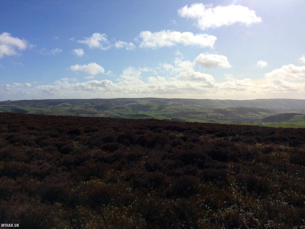
Photos
Below are some photographs taken during my activation of Long Mynd on Saturday 29th February, 2020.

Station Log
I logged the following 5 amateur radio contacts operating as M1HAX/P from G/WB-005 Long Mynd on Saturday 29th February, 2020 (all times shown are UTC):
| Time | Callsign | Band | Mode | Notes |
|---|---|---|---|---|
| 11:24 | 2E0MDJ | 2m | FM | Matt, 5/9 |
| 11:25 | G0LGS | 2m | FM | Stewart, 5/9 |
| 11:27 | G0UFE | 2m | FM | Simon, 5/9 |
| 11:28 | M0JZH | 2m | FM | John, 5/5 |
| 11:29 | M0JLA | 2m | FM | Rod, 5/6 |
In the notes field I will usually log the other operator’s name and the signal report they provided. In accordance with the Summits on the Air rules, I do not make a log entry where a complete exchange of callsigns and signal reports was unsuccessful.
Additional Information
The following resources may be helpful to walkers, mountaineers and SOTA activators interested in Long Mynd:
- Sotl.as Summit Page for G/WB-005 Long Mynd.
- Hill Bagging UK Summit Page for Long Mynd.
- Google Maps Page for Long Mynd.
- Wikipedia entry for Long Mynd.
If you found this content valuable, why not Buy Me a Coffee?