Mynydd Carn-y-cefn - GW/SW-014 SOTA (2020)

Summits on the Air Activation Report
Activation Date: Sunday 23rd February, 2020.
Activator(s): Richard M1HAX.
Summit: Mynydd Carn-y-cefn, South Wales, Wales.
Summit ID: SOTA reference GW/SW-014 (2+3 points).
Summit Height: 550m elevation, 176m prominence.
Summit Location: Lat./Long. 51.76923, -3.17933. Maidenhead Grid IO81js.
Distance: 3.4km travelled with 273m of ascent.
Difficulty: SAC Grade T1.(?)
Elapsed Time: 1hr 20m (including operating).
Weather: Feels like 11.1°C, 41 kph W wind, 94% humidity.
Radio Equipment: Yaesu FTM100D, MFJ-1714, Zippy 4200mAh 4S LiFePo4.
Callsign Used: MW1HAX/P.
Contacts: 6 (2m FM).
Trip Notes
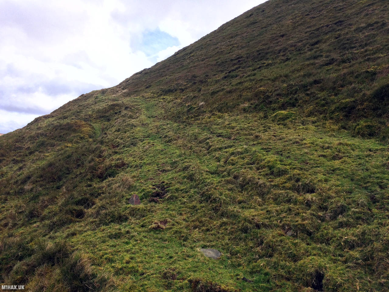
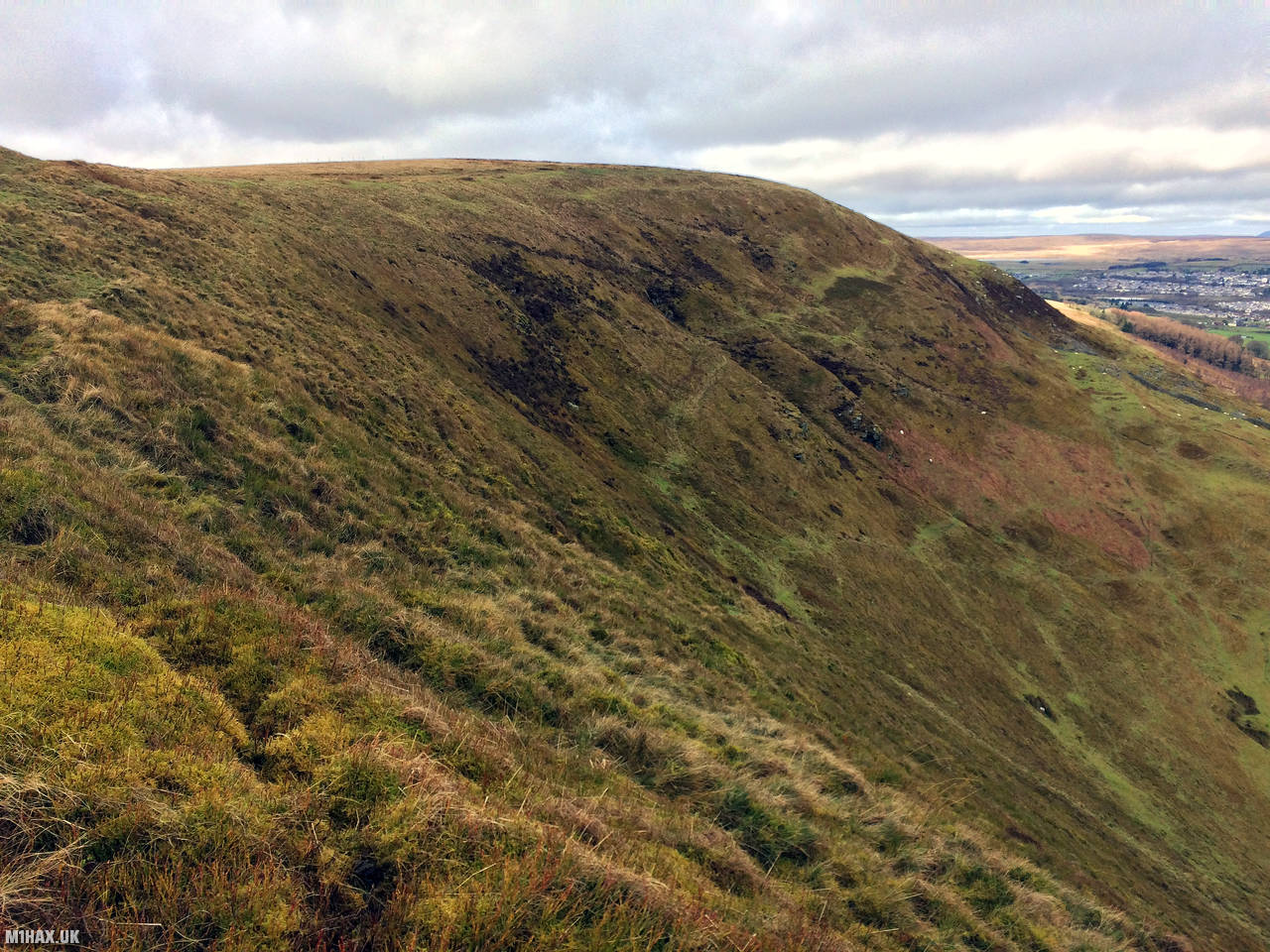
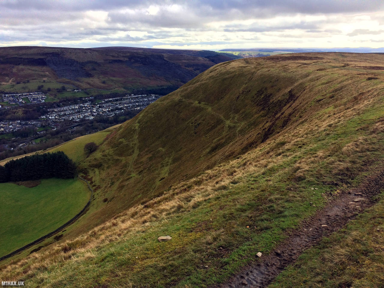
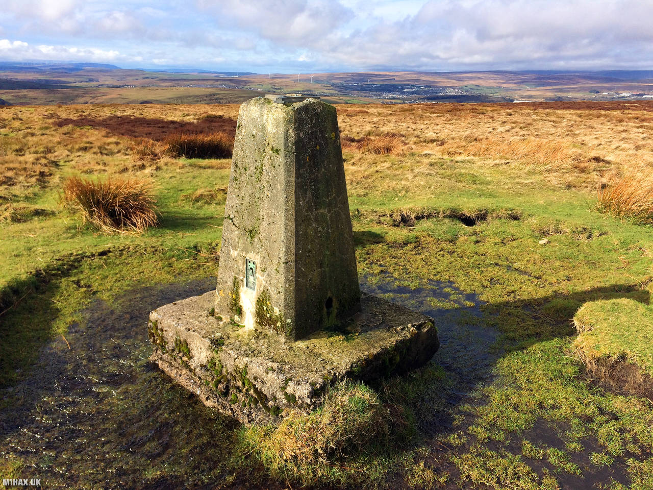
Mynydd Carn-y-cefn is a broad ridge that stretches between the Ebbw Vale and Ebbw Fach valleys in South Wales' Valleys region. It is located in Blaenau Gwent, which was formerly Monmouthshire. This broad-topped ridge runs in a northwest to southeast direction and reaches a height of 550 meters at the trig crowned summit. It is classified as a Marilyn and has a prominence of 176 meters.
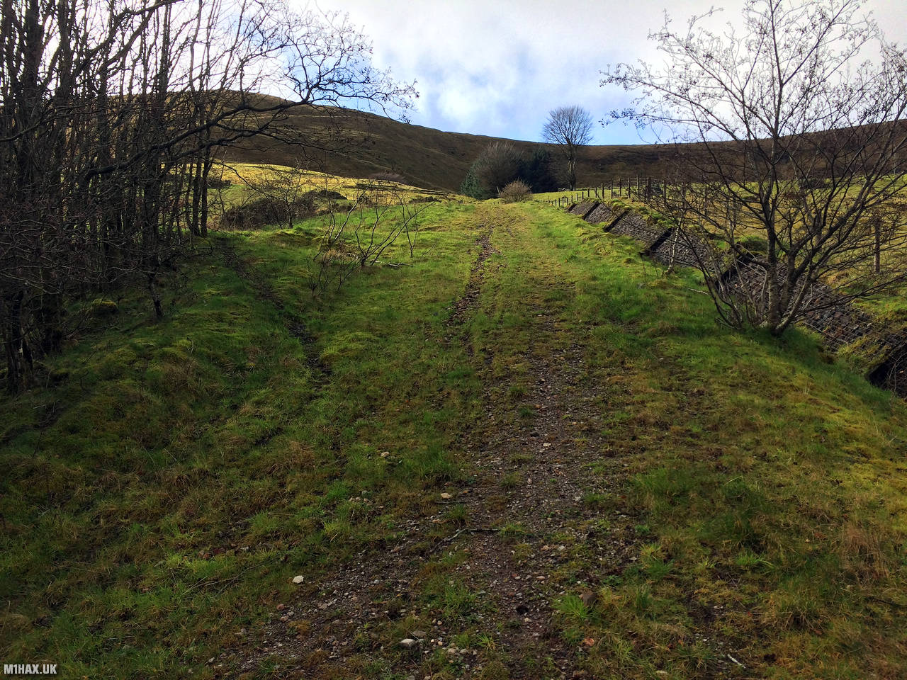
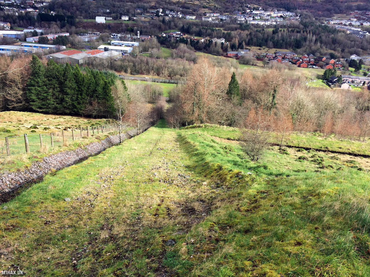
For my route up this mountain, I found a place to leave the car in the residential area of Blaina. A faint path strikes directly up the steep face of the hill.
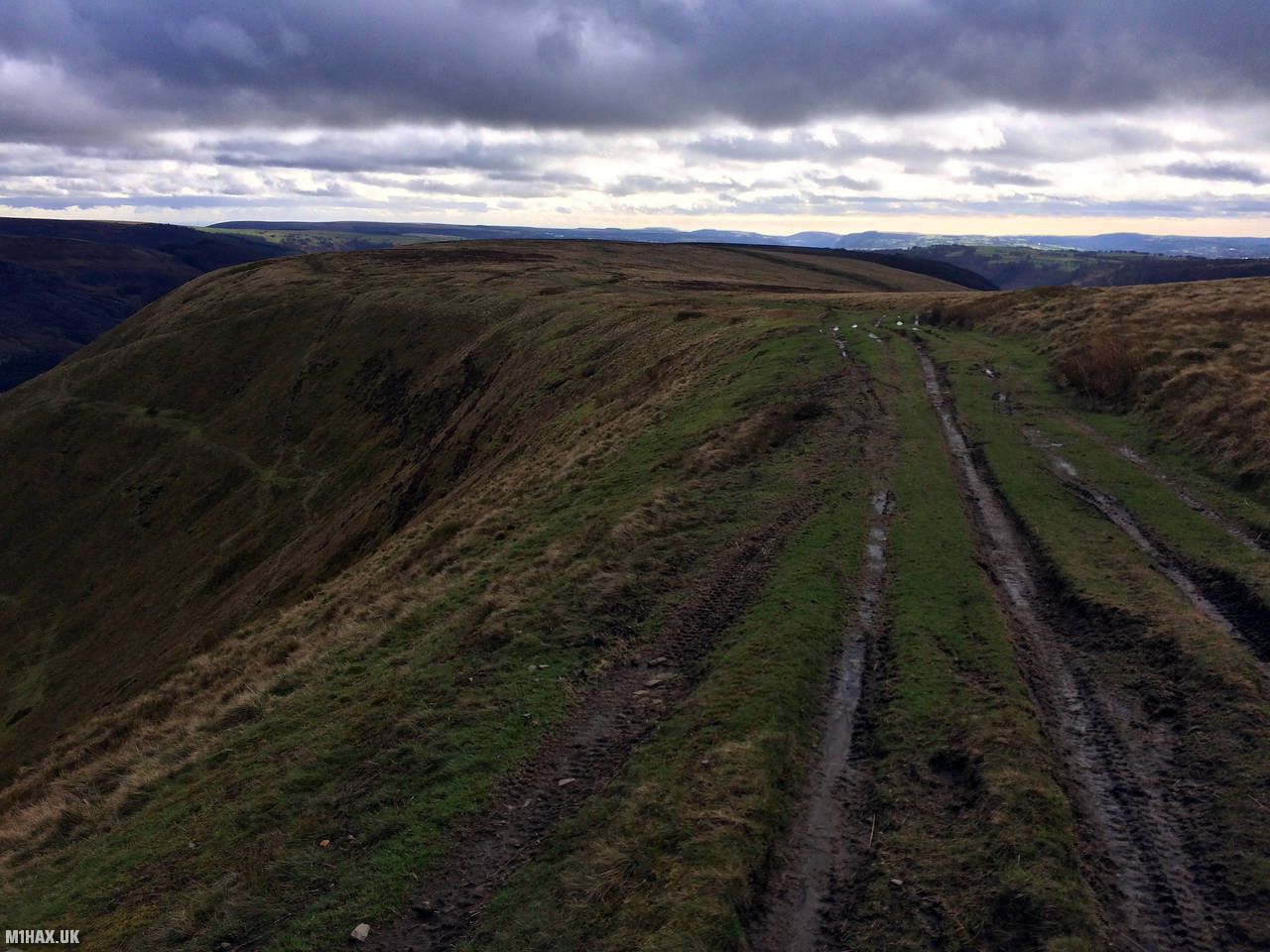
After gaining the ridge, more distinct paths wind their way across the plateau towards the trig point.
While this is relatively small hill, its location makes amateur radio contacts quite painless. I was able to exchange details with operators in Hereford, Holsworthy and Cheltenham.
After completing my Summits on the Air activation, I headed back down to the car, with the intent of moving on to activate GW/SW-012 Coity Mountain later in the day.
Photos
Below are some photographs taken during my activation of Mynydd Carn-y-cefn on Sunday 23rd February, 2020.


Walking Route for Mynydd Carn-y-cefn
The interactive map below shows my GPS track taken to the SOTA activation zone for Mynydd Carn-y-cefn. The GW/SW-014 summit area is marked on the map with a blue pin icon.
You can download the route shown above as a GPX file suitable for use with most GPS devices. This file is provided for information only, to support your own walk planning and research (it may contain navigation errors, detours and/or safety hazards). The route downloads provided here are governed by the Creative Commons BY-NC-SA 4.0 licence.
Station Log
I logged the following 6 amateur radio contacts operating as MW1HAX/P from GW/SW-014 Mynydd Carn-y-cefn on Sunday 23rd February, 2020 (all times shown are UTC):
| Time | Callsign | Band | Mode | Notes |
|---|---|---|---|---|
| 11:56 | G0LGS | 2m | FM | Stewart, 4/4 |
| 11:57 | 2W0FLW | 2m | FM | Derek, 5/5 |
| 11:58 | 2E0MDJ | 2m | FM | Matt, 5/7 |
| 11:59 | M0VNP | 2m | FM | Steve, 5/9 |
| 12:03 | G0RQL | 2m | FM | Don, 5/2 |
| 12:06 | M0JLA | 2m | FM | Rod, 5/4 |
In the notes field I will usually log the other operator’s name and the signal report they provided. In accordance with the Summits on the Air rules, I do not make a log entry where a complete exchange of callsigns and signal reports was unsuccessful.
Additional Information
The following resources may be helpful to walkers, mountaineers and SOTA activators interested in Mynydd Carn-y-cefn:
- Sotl.as Summit Page for GW/SW-014 Mynydd Carn-y-cefn.
- Hill Bagging UK Summit Page for Mynydd Carn-y-cefn.
- Google Maps Page for Mynydd Carn-y-cefn.
- Wikipedia entry for Mynydd Carn-y-cefn.
- 360° Panorama near summit of GW/SW-014 Mynydd Carn-y-cefn.
If you found this content valuable, why not Buy Me a Coffee?