Sugar Loaf - GW/SW-011 SOTA (2020)

Summits on the Air Activation Report
Activation Date: Sunday 2nd February, 2020.
Activator(s): Richard M1HAX.
Summit: Sugar Loaf, South Wales, Wales.
Summit ID: SOTA reference GW/SW-011 (2+3 points).
Summit Height: 596m elevation, 411m prominence.
Summit Location: Lat./Long. 51.86271, -3.05787. Maidenhead Grid IO81lu.
Distance: 5.3km travelled with 289m of ascent.
Difficulty: SAC Grade T1.(?)
Elapsed Time: 1hr 30m (including operating).
Weather: Feels like 12.2°C, 35 kph W wind, 68% humidity.
Radio Equipment: Yaesu FTM100D, MFJ-1714, Zippy 4200mAh 4S LiFePo4.
Callsign Used: MW1HAX/P.
Contacts: 11 (2m FM).
Trip Notes
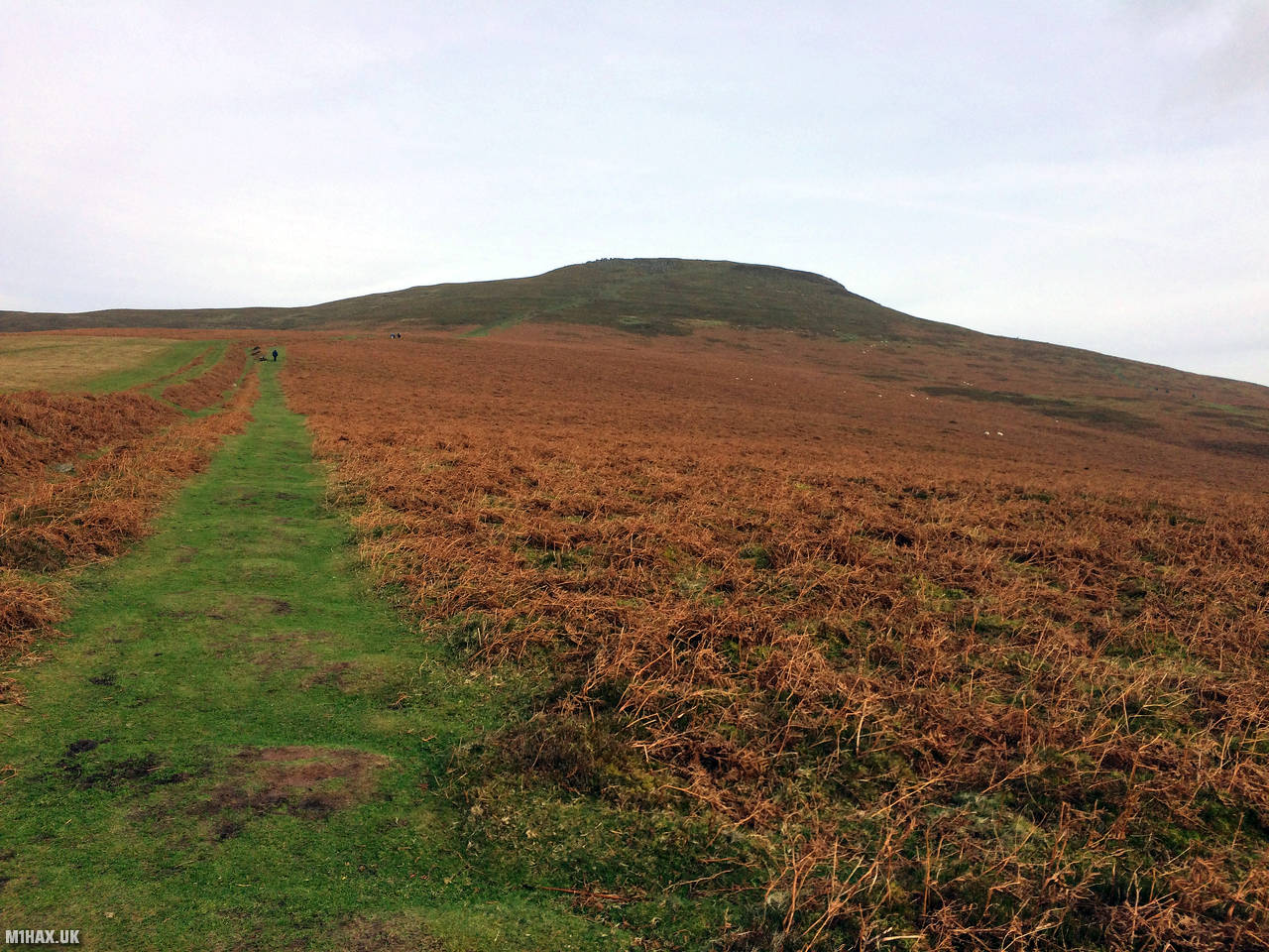
Sugar Loaf is a mountain located in the Brecon Beacons National Park in South Wales, UK. It stands at a height of 596 meters (1,955 feet) and is located near the town of Abergavenny. It is a popular destination for walkers, tourists, and locals, offering stunning views of the surrounding landscapes, including the Black Mountains and the Usk Valley.
The name “Sugar Loaf” is believed to have come from the shape of the mountain, which resembles a loaf of sugar. The mountain has a distinctive conical shape and is easily recognizable from a distance.
This is another of South Wales' convenient and easy two-point SOTA summits, best tackled during the winter bonus period.
There are a number of paths to the summit, with the most popular being from the large car parking area to the south.
The car park is accessed via a usually busy single track tarmac road which leads out of Abergavenny and up the hillside. There is a lower gravel car park and an upper tarmac carpark not much further up the road.
A network of obvious paths wind their way towards the obvious summit (assuming clear weather!).
Given the good prominence and proximity to large towns, this summit can be activated with a handheld transceiver with ease.
After making 11 QSOs I made my way back down to the car.
Photos
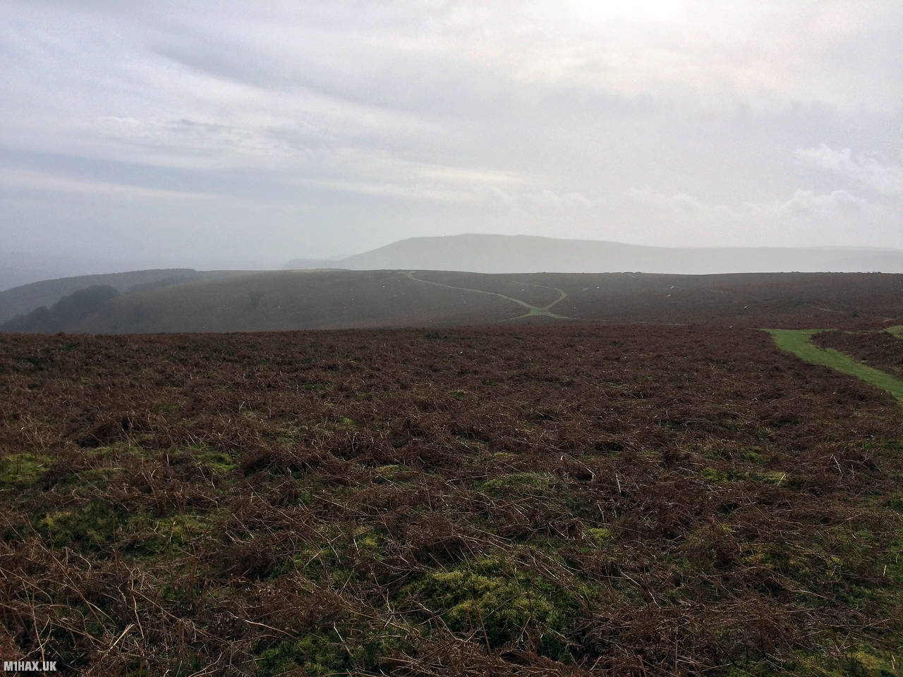
Below are some photographs taken during my activation of Sugar Loaf on Sunday 2nd February, 2020.


Walking Route for Sugar Loaf
The interactive map below shows my GPS track taken to the SOTA activation zone for Sugar Loaf. The GW/SW-011 summit area is marked on the map with a blue pin icon.
You can download the route shown above as a GPX file suitable for use with most GPS devices. This file is provided for information only, to support your own walk planning and research (it may contain navigation errors, detours and/or safety hazards). The route downloads provided here are governed by the Creative Commons BY-NC-SA 4.0 licence.
Station Log
I logged the following 11 amateur radio contacts operating as MW1HAX/P from GW/SW-011 Sugar Loaf on Sunday 2nd February, 2020 (all times shown are UTC):
| Time | Callsign | Band | Mode | Notes |
|---|---|---|---|---|
| 12:56 | M0JLA | 2m | FM | Rod, 5/9 |
| 12:57 | G6BPC | 2m | FM | Nick, 5/8 |
| 12:58 | G6DFD | 2m | FM | Mike, 5/5 |
| 12:59 | M0WYP | 2m | FM | Josh, 5/9 |
| 13:00 | 2E0RYR | 2m | FM | Roger, 5/9 |
| 13:01 | M0TAY | 2m | FM | Tony, 5/9 |
| 13:02 | GW0JTU | 2m | FM | Allan, 5/7 |
| 13:03 | 2E0HKA | 2m | FM | Chris, 5/9 |
| 13:04 | G4TCI | 2m | FM | Mike, 5/7 |
| 13:05 | G4ADJ | 2m | FM | Peter, 5/9 |
| 13:06 | G4WTF | 2m | FM | Ian, 5/9 |
In the notes field I will usually log the other operator’s name and the signal report they provided. In accordance with the Summits on the Air rules, I do not make a log entry where a complete exchange of callsigns and signal reports was unsuccessful.
Additional Information
The following resources may be helpful to walkers, mountaineers and SOTA activators interested in Sugar Loaf:
- Sotl.as Summit Page for GW/SW-011 Sugar Loaf.
- Hill Bagging UK Summit Page for Sugar Loaf.
- Google Maps Page for Sugar Loaf.
- Wikipedia entry for Sugar Loaf.
- 360° Panorama near summit of GW/SW-011 Sugar Loaf.
If you found this content valuable, why not Buy Me a Coffee?