Tor y Foel - GW/SW-013 SOTA (2020)

Summits on the Air Activation Report
Activation Date: Saturday 8th February, 2020.
Activator(s): Richard M1HAX.
Summit: Tor y Foel, South Wales, Wales.
Summit ID: SOTA reference GW/SW-013 (2+3 points).
Summit Height: 551m elevation, 157m prominence.
Summit Location: Lat./Long. 51.86697, -3.28738. Maidenhead Grid IO81iu.
Distance: 2.0km travelled with 163m of ascent.
Difficulty: SAC Grade T1.(?)
Elapsed Time: 50m (including operating).
Weather: Feels like 6.7°C, 19 kph SW wind, 76% humidity.
Radio Equipment: Yaesu FTM100D, MFJ-1714, Zippy 4200mAh 4S LiFePo4.
Callsign Used: MW1HAX/P.
Contacts: 6 (2m FM).
Trip Notes
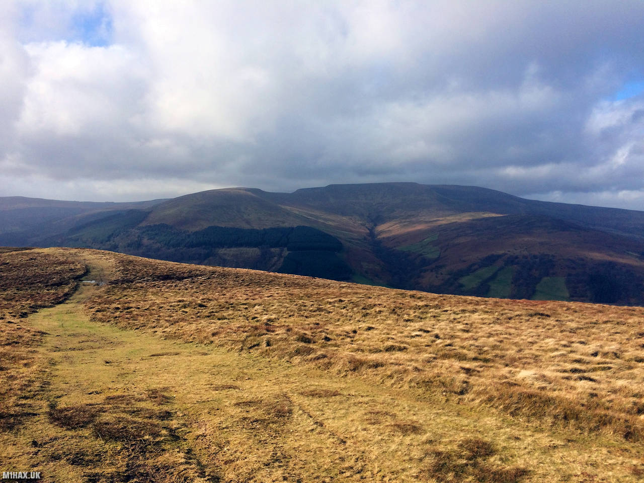
Tor y Foel is a mountain located in the Brecon Beacons National Park in South Wales, UK. It stands at a height of 551 meters (1,808 feet) adjacent to the Talybont reservoir.
This is another easy two-point SOTA summit best activated during the winter bonus period for a quick five points.
I parked at the end of a single-track tarmac road from Talybont-on-Usk. There is space here for three or four cars.
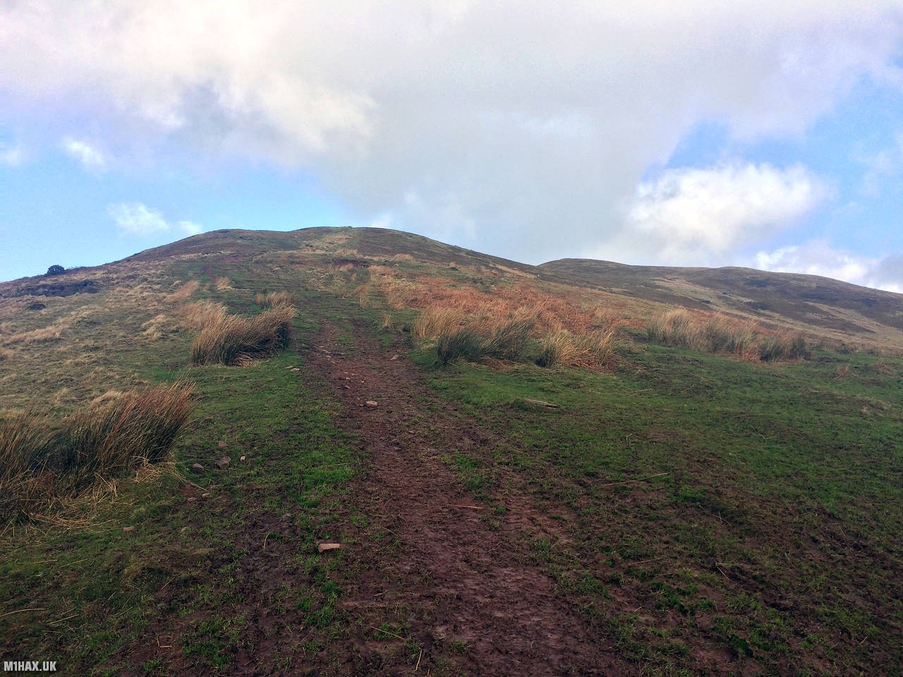
The walking route starts heading immediately uphill to the north west, away from the parking spot.
A relatively obvious grassy path runs all the way to the summit which is easily reached in well under half an hour.
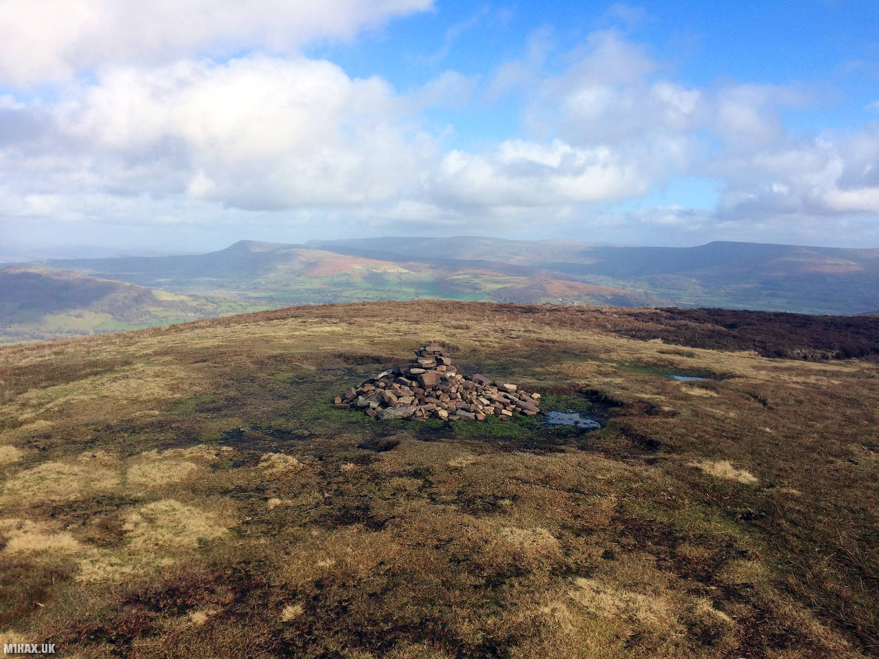
There is plenty of room on this flat grassy summit and would make an ideal HF activation site, particularly with the relatively short and easy walk up.
Having already activated Waun Rydd GW/SW-004 earlier in the day, I quickly bagged six contacts on the 2m band before heading back down towards the car. The logbook was filled with familiar callsigns and a number of summit-to-summit contacts.
Photos
Below are some photographs taken during my activation of Tor y Foel on Saturday 8th February, 2020.


Walking Route for Tor y Foel
The interactive map below shows my GPS track taken to the SOTA activation zone for Tor y Foel. The GW/SW-013 summit area is marked on the map with a blue pin icon.
You can download the route shown above as a GPX file suitable for use with most GPS devices. This file is provided for information only, to support your own walk planning and research (it may contain navigation errors, detours and/or safety hazards). The route downloads provided here are governed by the Creative Commons BY-NC-SA 4.0 licence.
Station Log
I logged the following 6 amateur radio contacts operating as MW1HAX/P from GW/SW-013 Tor y Foel on Saturday 8th February, 2020 (all times shown are UTC):
| Time | Callsign | Band | Mode | Notes |
|---|---|---|---|---|
| 12:21 | GW4VPX/P | 2m | FM | Allan, 5/9, S2S GW/SW-010 |
| 12:22 | M1CJE | 2m | FM | Andrew, 4/6, S2S G/WB-005 |
| 12:23 | MW0JLA | 2m | FM | Rod, 4/8, S2S GW/SW-008 |
| 12:24 | 2E0MDJ | 2m | FM | Matt, 5/3 |
| 12:24 | G0LGS | 2m | FM | Stewart, 5/3 |
| 12:25 | MW6BWA/P | 2m | FM | Vicki, 5/9, S2S GW/SW-008 |
In the notes field I will usually log the other operator’s name and the signal report they provided. In accordance with the Summits on the Air rules, I do not make a log entry where a complete exchange of callsigns and signal reports was unsuccessful.
Additional Information
The following resources may be helpful to walkers, mountaineers and SOTA activators interested in Tor y Foel:
- Sotl.as Summit Page for GW/SW-013 Tor y Foel.
- Hill Bagging UK Summit Page for Tor y Foel.
- Google Maps Page for Tor y Foel.
- Wikipedia entry for Tor y Foel.
- 360° Panorama near summit of GW/SW-013 Tor y Foel.
If you found this content valuable, why not Buy Me a Coffee?