Waun Rydd - GW/SW-004 SOTA (2020)

Summits on the Air Activation Report
Activation Date: Saturday 8th February, 2020.
Activator(s): Richard M1HAX.
Summit: Waun Rydd, South Wales, Wales.
Summit ID: SOTA reference GW/SW-004 (6+3 points).
Summit Height: 769m elevation, 170m prominence.
Summit Location: Lat./Long. 51.87647, -3.36383. Maidenhead Grid IO81hv.
Distance: 8.6km travelled with 449m of ascent.
Difficulty: SAC Grade T2.(?)
Elapsed Time: 2hr 15m (including operating).
Weather: Feels like -0.6°C, 20 kph SSW wind, 90% humidity.
Radio Equipment: Yaesu FTM100D, MFJ-1714, Zippy 4200mAh 4S LiFePo4.
Callsign Used: MW1HAX/P.
Contacts: 5 (2m FM).
Trip Notes
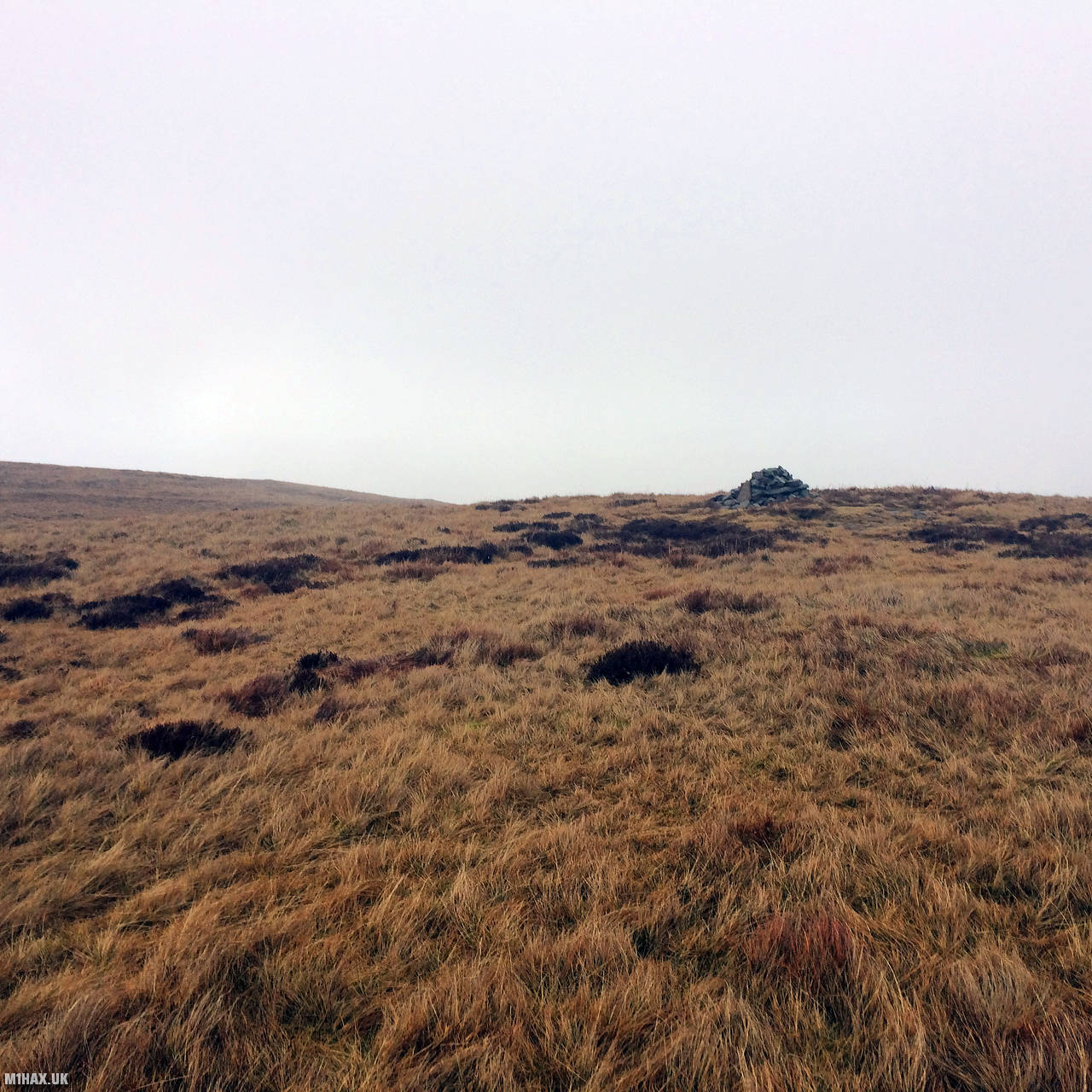
Waun Rydd is a mountain located in the Brecon Beacons National Park in South Wales, UK. It stands at a height of 769 meters (2,523 feet) and is part of the Central Beacons range. The name “Waun Rydd” means “clear moor” in Welsh, referring to the mountain’s open, rolling landscape. The summit of Waun Rydd is marked by a cairn, which is a man-made pile of stones used as a landmark.
First introduced to me by Andrew M1CJE, this route approaches from the waterfall car park to the south. A gravel car park for a couple of dozen vehicles is reached following the road from Pontsticill.
This is arguably the most popular route for Waun Rydd and the car park becomes busy on sunny weekends.
The route starts by following Nant Bwrefwr and gains Craig y Fan Ddu via a steep stone path.
Continuing north towards Bwlch y Ddwyallt, some navigation skills may be required to trace a route east towards the summit of Waun Rydd.
The summit is an uninspiring, open, grassy spot marked with a small cairn. As it was cold and wet, I quickly logged contacts with whomever responded to my CQ calls before heading back along my route.
Before calling it a day, I drove around to Tor y Foel GW/SW-013 for a quick 5 point SOTA activation.
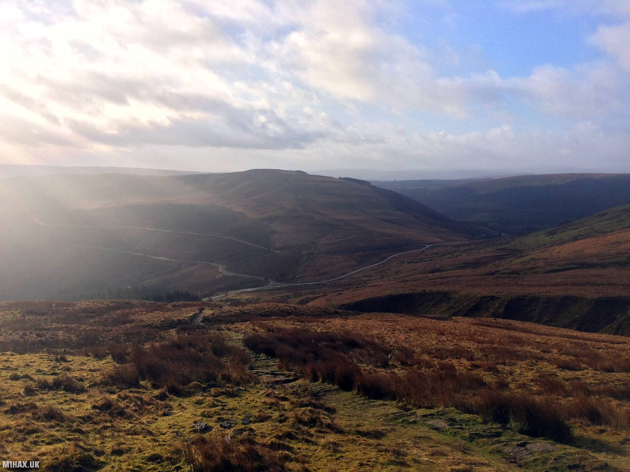
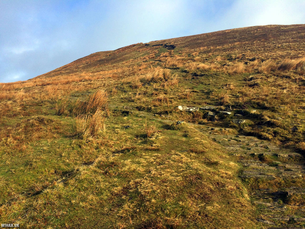
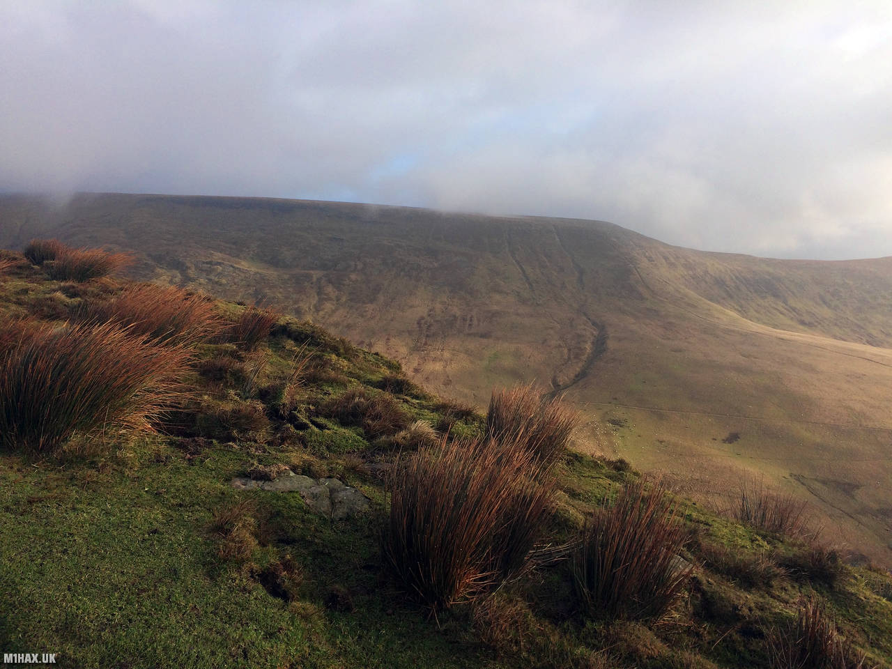
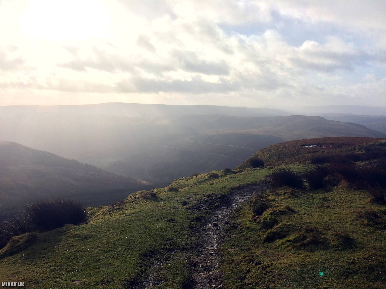
Photos
Below are some photographs taken during my activation of Waun Rydd on Saturday 8th February, 2020.


Walking Route for Waun Rydd
The interactive map below shows my GPS track taken to the SOTA activation zone for Waun Rydd. The GW/SW-004 summit area is marked on the map with a blue pin icon.
You can download the route shown above as a GPX file suitable for use with most GPS devices. This file is provided for information only, to support your own walk planning and research (it may contain navigation errors, detours and/or safety hazards). The route downloads provided here are governed by the Creative Commons BY-NC-SA 4.0 licence.
Station Log
I logged the following 5 amateur radio contacts operating as MW1HAX/P from GW/SW-004 Waun Rydd on Saturday 8th February, 2020 (all times shown are UTC):
| Time | Callsign | Band | Mode | Notes |
|---|---|---|---|---|
| 10:20 | GW0DQW | 2m | FM | Chris, 5/3 |
| 10:21 | GW4VPX/M | 2m | FM | Allan, 5/5 |
| 10:22 | M0PPF | 2m | FM | Steve, 5/9 |
| 10:23 | GW1OPE/P | 2m | FM | Steve, 5/9 |
| 10:24 | GW7MMG | 2m | FM | Phil, 5/7 |
In the notes field I will usually log the other operator’s name and the signal report they provided. In accordance with the Summits on the Air rules, I do not make a log entry where a complete exchange of callsigns and signal reports was unsuccessful.
Additional Information
The following resources may be helpful to walkers, mountaineers and SOTA activators interested in Waun Rydd:
- Sotl.as Summit Page for GW/SW-004 Waun Rydd.
- Hill Bagging UK Summit Page for Waun Rydd.
- Google Maps Page for Waun Rydd.
- Wikipedia entry for Waun Rydd.
- 360° Panorama near summit of GW/SW-004 Waun Rydd.
If you found this content valuable, why not Buy Me a Coffee?