Beacon Hill - GW/MW-009 SOTA (2020)

Summits on the Air Activation Report
Activation Date: Sunday 8th March, 2020.
Activator(s): Richard M1HAX.
Summit: Beacon Hill, Mid Wales, Wales.
Summit ID: SOTA reference GW/MW-009 (2+3 points).
Summit Height: 547m elevation, 179m prominence.
Summit Location: Lat./Long. 52.38298, -3.21140. Maidenhead Grid IO82jj.
Distance: 6.6km travelled with 195m of ascent.
Difficulty: SAC Grade T1.(?)
Elapsed Time: 1hr 30m (including operating).
Weather: Feels like 4.4°C, 26 kph W wind, 79% humidity.
Radio Equipment: Yaesu FTM100D, MFJ-1714, Zippy 4200mAh 4S LiFePo4.
Callsign Used: MW1HAX/P.
Contacts: 5 (2m FM).
Trip Notes
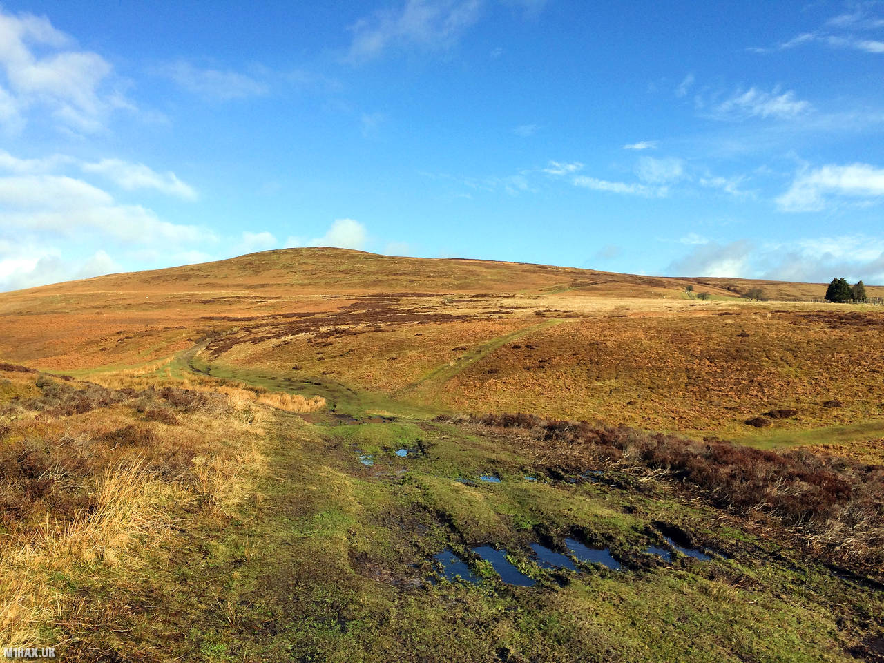
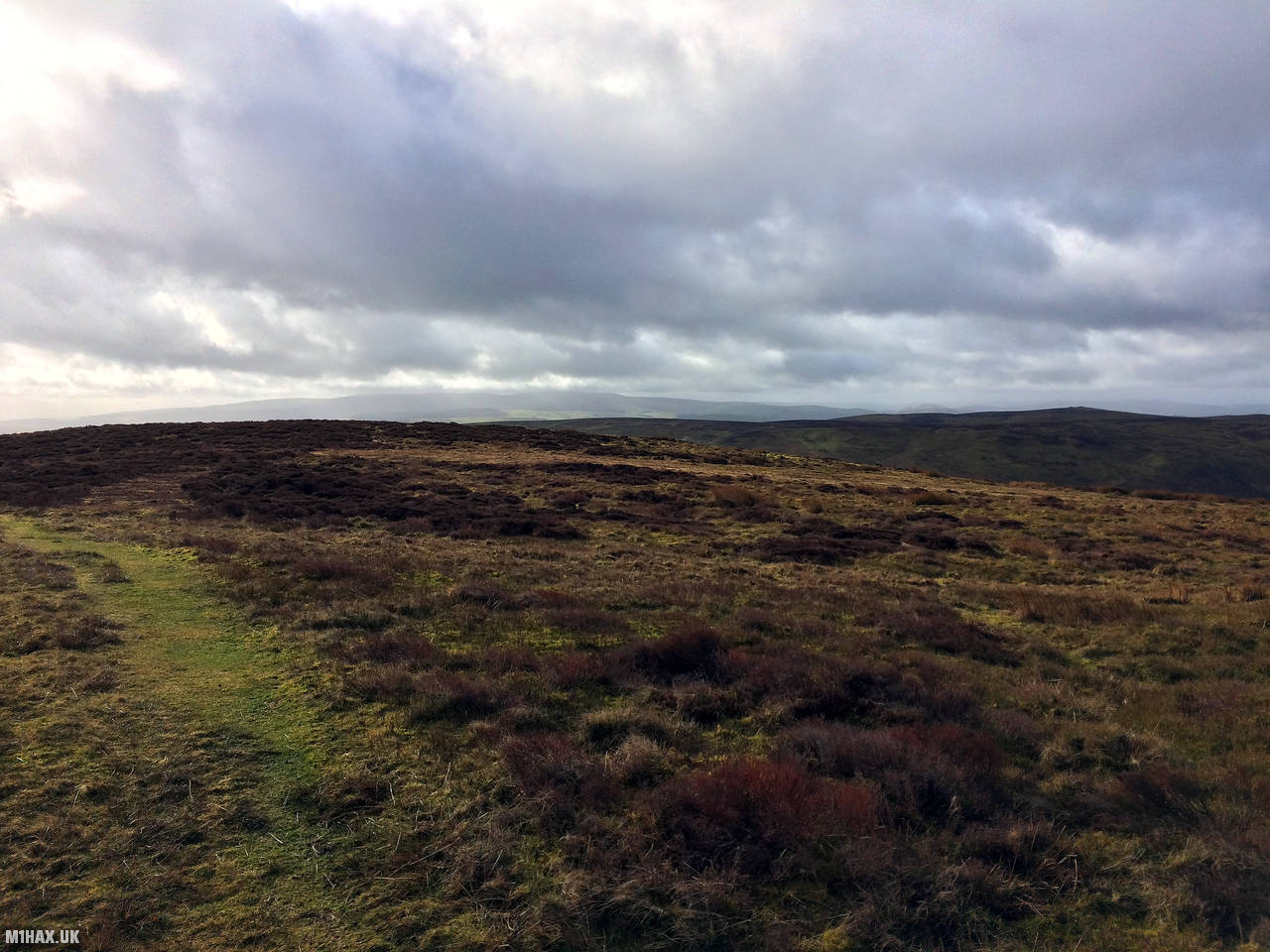
Beacon Hill (also known as Mynydd Disglair) is a modest rolling hill in mid Wales reaching a maximum height of 547 metres. It is a few miles north of the larger Great Rhos GW/MW-002 SOTA summit.
For this activation I approached from the south east using a route published by M0PLA on the SOTA Mapping Project site.
There is parking for several cars beyond the gate at the end of a long and narrow access road from Llangunllo.
I followed a heavily rutted and muddy 4x4 track up the hillside, then navigating the various grassy paths by map and compass towards the summit.
After a quick activation on two-metres I headed back down to the car.
This is a particularly unremarkable hill and I doubt I will make a return visit. The most exciting part of the walk was turning a corner near the start and coming face to face with a large bull and herd of cows. This is why the start of the route below takes an odd diversion through the woods, which readers can optionally skip.
Photos
Below are some photographs taken during my activation of Beacon Hill on Sunday 8th March, 2020.


Walking Route for Beacon Hill
The interactive map below shows my GPS track taken to the SOTA activation zone for Beacon Hill. The GW/MW-009 summit area is marked on the map with a blue pin icon.
You can download the route shown above as a GPX file suitable for use with most GPS devices. This file is provided for information only, to support your own walk planning and research (it may contain navigation errors, detours and/or safety hazards). The route downloads provided here are governed by the Creative Commons BY-NC-SA 4.0 licence.
Station Log
I logged the following 5 amateur radio contacts operating as MW1HAX/P from GW/MW-009 Beacon Hill on Sunday 8th March, 2020 (all times shown are UTC):
| Time | Callsign | Band | Mode | Notes |
|---|---|---|---|---|
| 09:45 | G0LGS | 2m | FM | Stewart, 5/7 |
| 09:46 | M0JLA | 2m | FM | Rod, 5/1 |
| 09:47 | G4HQB | 2m | FM | Phil, 5/7 |
| 09:49 | 2E0OVW | 2m | FM | Gillian, 5/7 |
| 09:49 | 2E0MDJ | 2m | FM | Matt, 5/9 |
In the notes field I will usually log the other operator’s name and the signal report they provided. In accordance with the Summits on the Air rules, I do not make a log entry where a complete exchange of callsigns and signal reports was unsuccessful.
Additional Information
The following resources may be helpful to walkers, mountaineers and SOTA activators interested in Beacon Hill:
- Sotl.as Summit Page for GW/MW-009 Beacon Hill.
- Hill Bagging UK Summit Page for Beacon Hill.
- Google Maps Page for Beacon Hill.
- Wikipedia entry for Beacon Hill.
If you found this content valuable, why not Buy Me a Coffee?