Cadair Idris - GW/NW-009 SOTA (2020)

Summits on the Air Activation Report
Activation Date: Saturday 7th March, 2020.
Activator(s): Richard M1HAX.
Summit: Cadair Idris, North Wales, Wales.
Summit ID: SOTA reference GW/NW-009 (8+3 points).
Summit Height: 893m elevation, 608m prominence.
Summit Location: Lat./Long. 52.69962, -3.90878. Maidenhead Grid IO82bq.
Distance: 10.2km travelled with 1045m of ascent.
Difficulty: SAC Grade T2.(?)
Elapsed Time: 3hr 40m (including operating).
Weather: Feels like 6.7°C, 13 kph S wind, 92% humidity.
Radio Equipment: Yaesu FTM100D, MFJ-1714, Zippy 4200mAh 4S LiFePo4.
Callsign Used: MW1HAX/P.
Contacts: 6 (2m FM).
Trip Notes
Cadair Idris (also known as Penygadair) is a mountain located in Snowdonia National Park, North Wales. It is one of the most popular mountains in Wales, with a height of 893 meters. The name Cadair Idris means “Chair of Idris,” referring to a giant in Welsh mythology who was said to have used the mountain as his throne. The mountain is steeped in history and legend, with numerous stories and myths associated with it. For example, it is said that anyone who spends a night on the mountain will either emerge as a madman or a poet.
This is one of my favourite mountains in Wales and has a selection of different walking routes to the summit. On this wintery solo hike on the mountain, I started in Minffordd to the south east, following a linear out and back route via Craig Lwyd. Other popular alternatives are to complete a circular horseshoe by continuing on east after reaching the summit, or to approach from the north.
The mountain is nestled in the south western corner of the national park, so it is a little bit out of the way, but road access is good all the way to the car park. I parked in the pay and display car park, which is relatively small and fills up quickly.
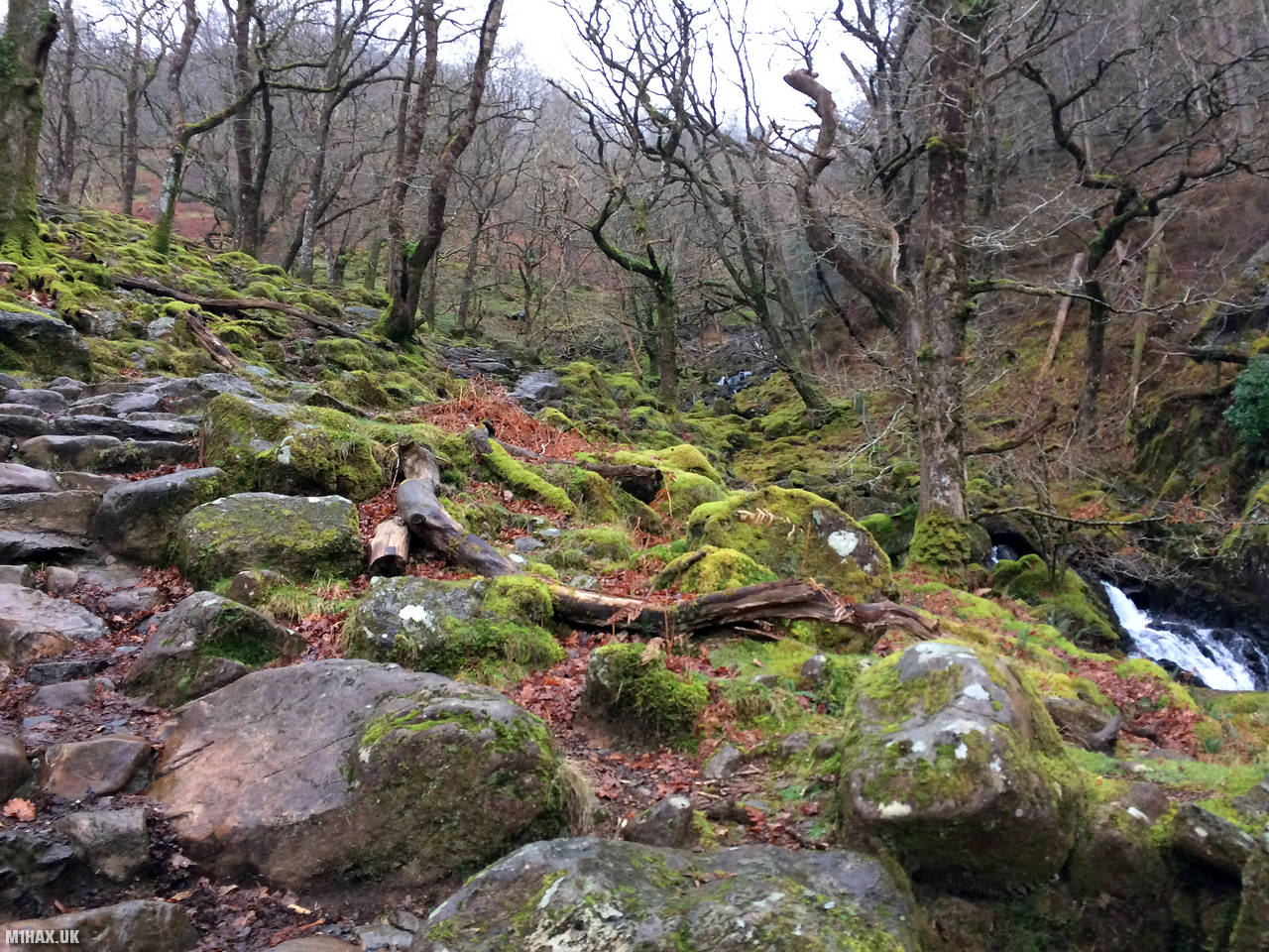
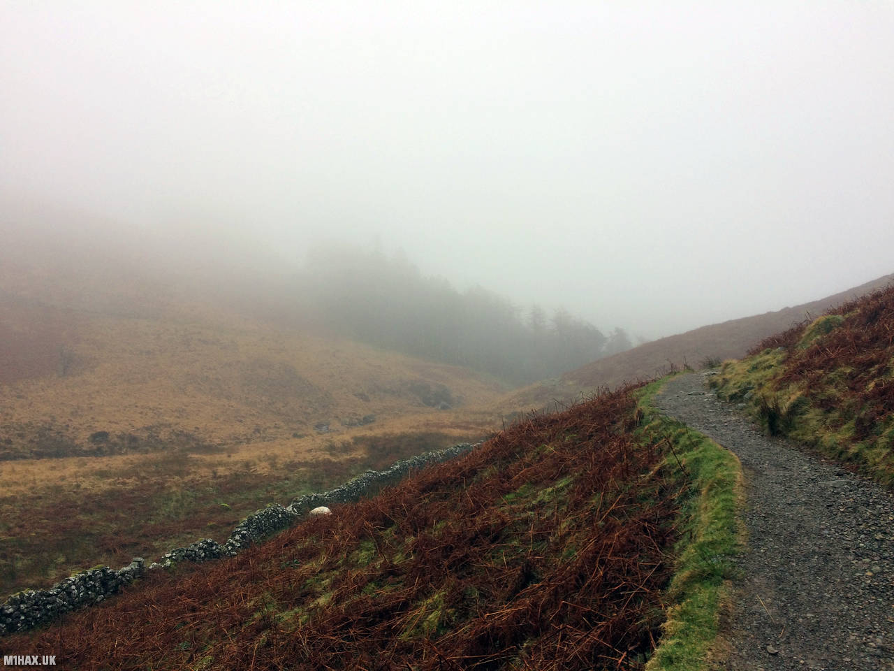
The obvious Minffordd Path leads out through woodland next to a river originating from Llyn Cau. After a while the woodland fades away to reveal an expanse of heathery moorland.
Eventually the path forks - the righthand path would be the return route if undertaking the full circuit, however today I stayed left, and continued up the hill.
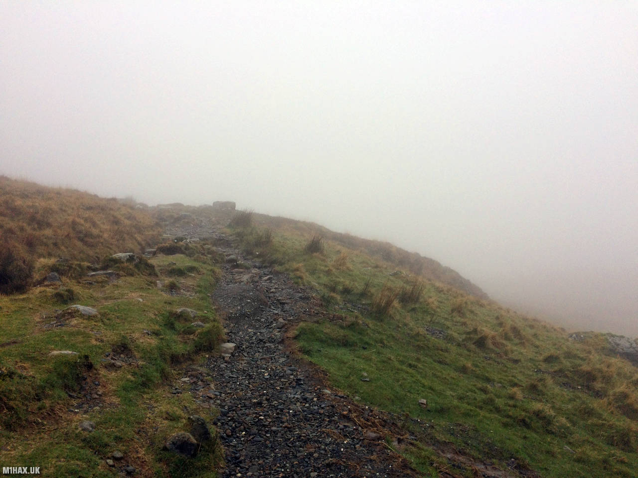
The path becomes rockier underfoot towards Craig Llwd, but never difficult. The path arcs northward at a cairn (791m) and continues a gentle ascent towards the summit.
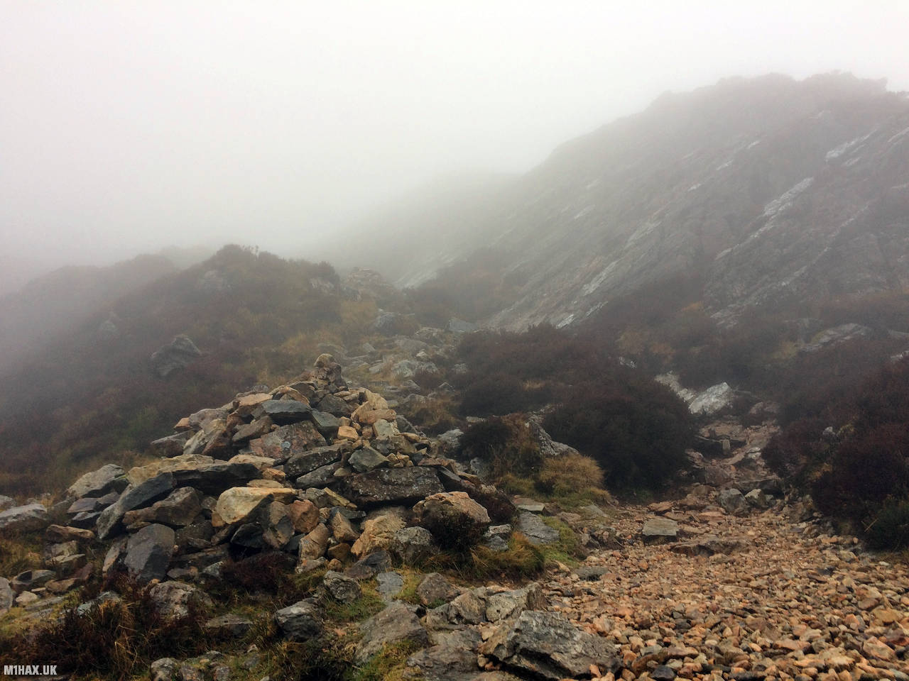
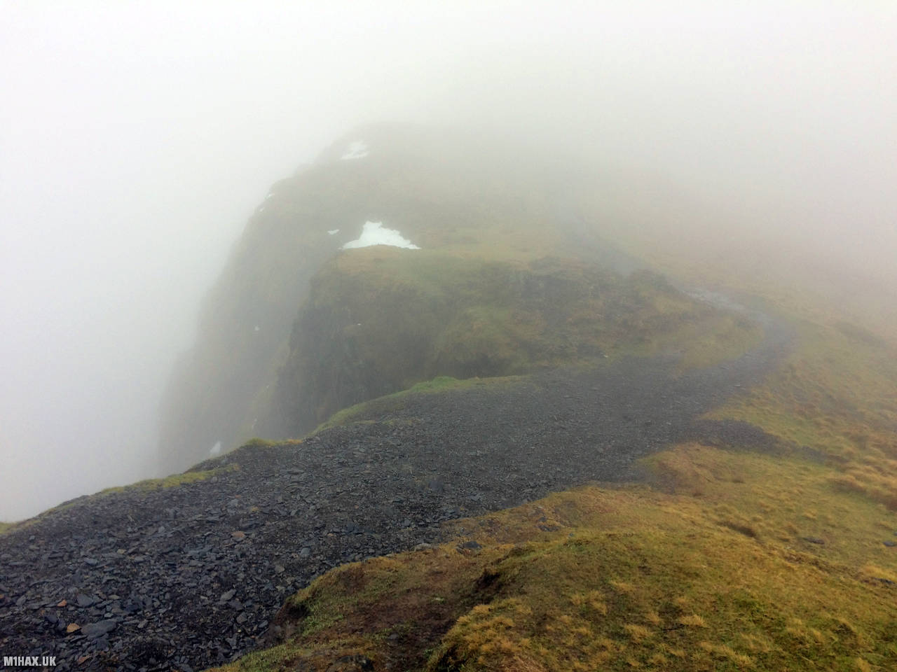
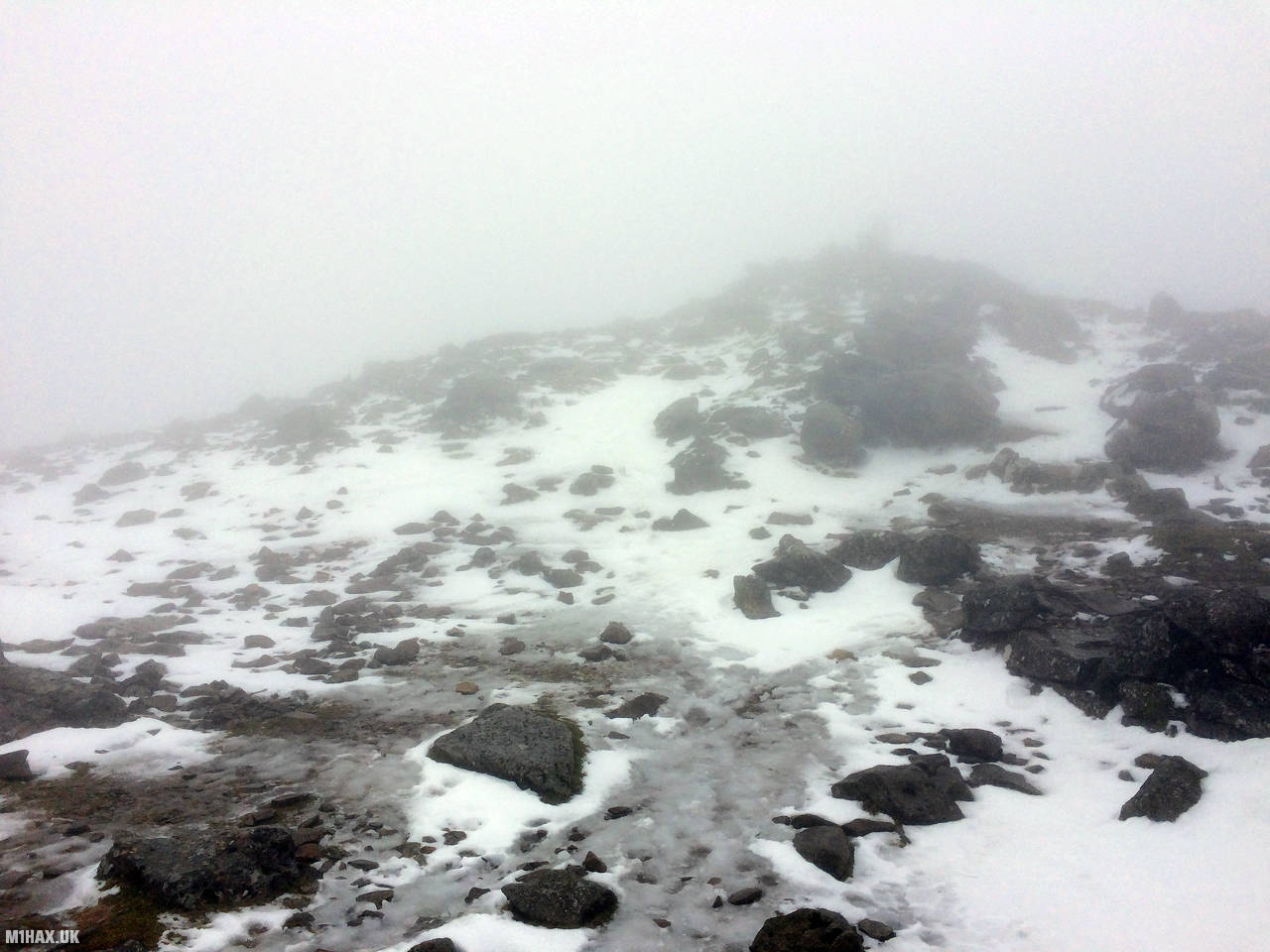
The weather was poor, with strong winds and a pervasive thick fog across the entire mountain. Near Craig Cau in thick fog, I met a group of young adults who were lost, having walked off the summit in the wrong direction. It was disappointing to see them on the mountain in these poor conditions with no map or proper winter clothing. I guided them in the right direction and continued to press on to the summit at 893 metres.
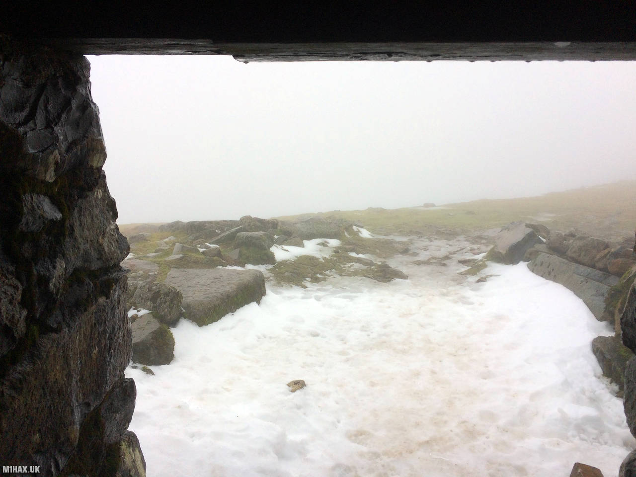
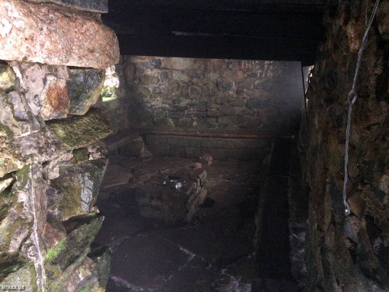
At the icy summit there is a substantial enclosed shelter. I opted to perform my summits on the air radio operation outside using the shelter as a wind break.
I spent about ten minutes on the radio and made a small number of contacts, including a summit to summit with Paul MW0PLA on Foel Goch.
I then reversed course and followed the Minffordd Path back down towards the car park.
This fantastic place is one of Wale’s P600 mountains which I would highly recommend to any hill walkers or SOTA activators who have never visited it.
Photos
Below are some photographs taken during my activation of Cadair Idris on Saturday 7th March, 2020.


Walking Route for Cadair Idris
The interactive map below shows my GPS track taken to the SOTA activation zone for Cadair Idris. The GW/NW-009 summit area is marked on the map with a blue pin icon.
You can download the route shown above as a GPX file suitable for use with most GPS devices. This file is provided for information only, to support your own walk planning and research (it may contain navigation errors, detours and/or safety hazards). The route downloads provided here are governed by the Creative Commons BY-NC-SA 4.0 licence.
Station Log
I logged the following 6 amateur radio contacts operating as MW1HAX/P from GW/NW-009 Cadair Idris on Saturday 7th March, 2020 (all times shown are UTC):
| Time | Callsign | Band | Mode | Notes |
|---|---|---|---|---|
| 10:16 | GW4ZPL | 2m | FM | John, 5/9 |
| 10:17 | M6NSV/M | 2m | FM | Neil, 5/9 |
| 10:18 | M0OAU | 2m | FM | Lee, 5/3 |
| 10:19 | MW0PLA/P | 2m | FM | Paul, 5/9, S2S GW/NW-039 |
| 10:23 | GW4VPX | 2m | FM | Allan, 5/9 |
| 10:24 | MW1EYP/M | 2m | FM | Tom, 5/9 |
In the notes field I will usually log the other operator’s name and the signal report they provided. In accordance with the Summits on the Air rules, I do not make a log entry where a complete exchange of callsigns and signal reports was unsuccessful.
Additional Information
The following resources may be helpful to walkers, mountaineers and SOTA activators interested in Cadair Idris:
- Sotl.as Summit Page for GW/NW-009 Cadair Idris.
- Hill Bagging UK Summit Page for Cadair Idris.
- Google Maps Page for Cadair Idris.
- Wikipedia entry for Cadair Idris.
- 360° Panorama near summit of GW/NW-009 Cadair Idris.
If you found this content valuable, why not Buy Me a Coffee?