Gwaunceste Hill - GW/MW-010 SOTA (2020)

Summits on the Air Activation Report
Activation Date: Sunday 8th March, 2020.
Activator(s): Richard M1HAX.
Summit: Gwaunceste Hill, Mid Wales, Wales.
Summit ID: SOTA reference GW/MW-010 (2+3 points).
Summit Height: 542m elevation, 163m prominence.
Summit Location: Lat./Long. 52.19173, -3.23289. Maidenhead Grid IO82je.
Distance: 5.9km travelled with 213m of ascent.
Difficulty: SAC Grade T1.(?)
Elapsed Time: 1hr 20m (including operating).
Weather: Feels like 6.7°C, 28 kph WSW wind, 76% humidity.
Radio Equipment: Yaesu FTM100D, MFJ-1714, Zippy 4200mAh 4S LiFePo4.
Callsign Used: MW1HAX/P.
Contacts: 4 (2m FM).
Trip Notes
Gwaunceste Hill, also known as Bryn Gwaun-cest in Welsh, is a hill located in Powys, East Wales, with a height of 542 meters. The hill is intersected by a network of public bridleways, and a significant portion of it is designated as open country under the Countryside and Rights of Way Act 2000, allowing it to be accessed and enjoyed by hikers.
Gwaunceste Hill is a relatively easily accessed two-point SOTA summit making it an obvious target for the winter bonus season.
My approach was from the south near Glascwm. There is parking for two or three cars on the roadside. An obvious path heads in a northerly direction.
Near the top, I headed north east, heather bashing pathless terrain to locate the true summit which is marked with a trig point.
I set up my radio station and activated the hill from the trig point, using it as a shelter from the cold wind. There is plenty of space at the top for large antenna setups.
I then made a swift return to the car, completing the walk and activation in under 90 minutes.
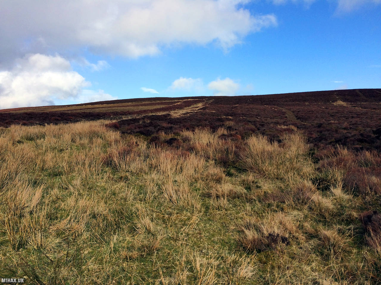
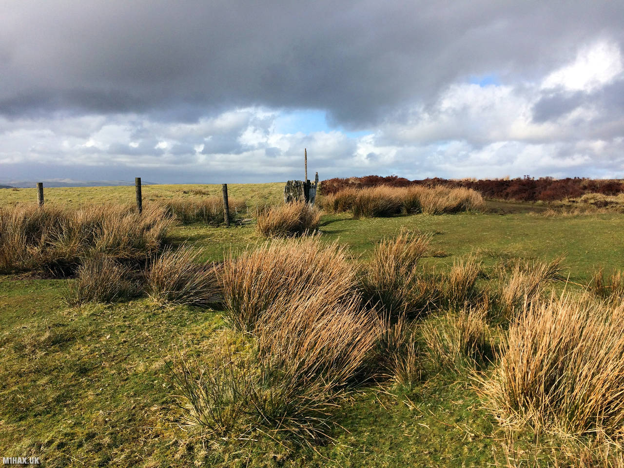
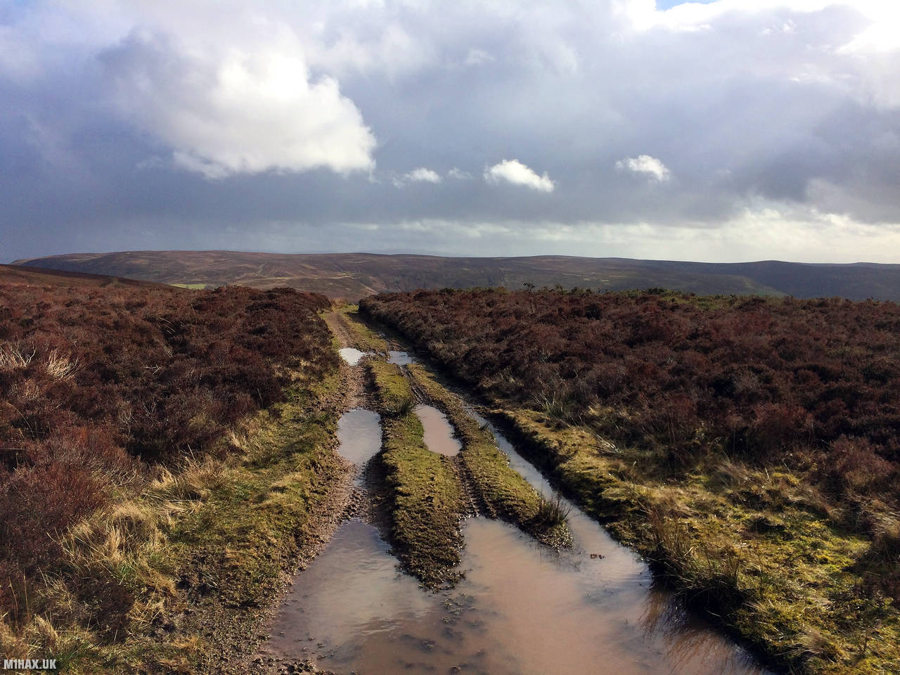
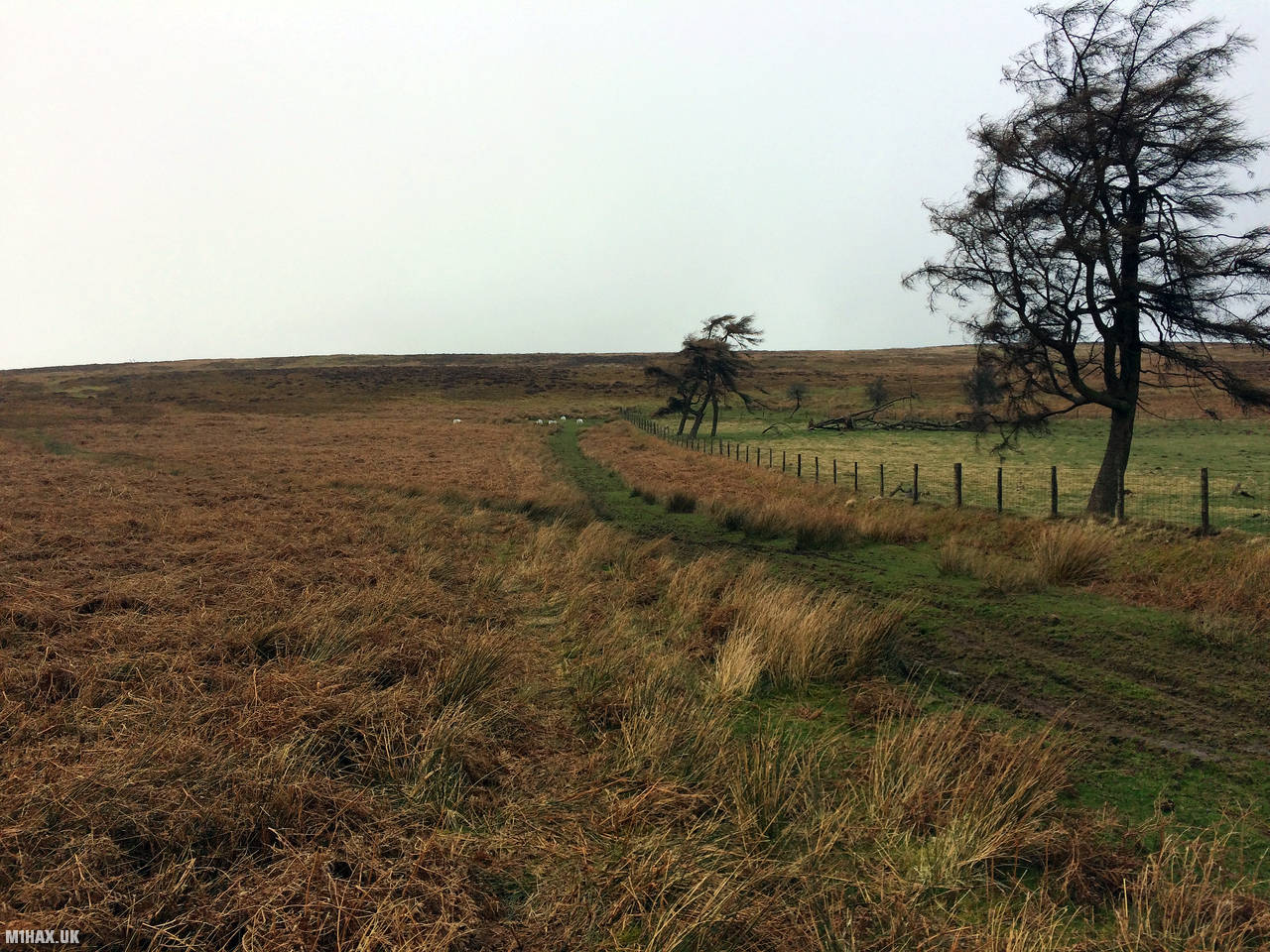
Photos
Below are some photographs taken during my activation of Gwaunceste Hill on Sunday 8th March, 2020.


Walking Route for Gwaunceste Hill
The interactive map below shows my GPS track taken to the SOTA activation zone for Gwaunceste Hill. The GW/MW-010 summit area is marked on the map with a blue pin icon.
You can download the route shown above as a GPX file suitable for use with most GPS devices. This file is provided for information only, to support your own walk planning and research (it may contain navigation errors, detours and/or safety hazards). The route downloads provided here are governed by the Creative Commons BY-NC-SA 4.0 licence.
Station Log
I logged the following 4 amateur radio contacts operating as MW1HAX/P from GW/MW-010 Gwaunceste Hill on Sunday 8th March, 2020 (all times shown are UTC):
| Time | Callsign | Band | Mode | Notes |
|---|---|---|---|---|
| 14:22 | M0JLA | 2m | FM | Rod, 5/9 |
| 14:23 | 2E0MDJ | 2m | FM | Matt, 5/9 |
| 14:24 | G0LGS | 2m | FM | Stewart, 5/9 |
| 14:25 | M0WYP | 2m | FM | Josh, 5/9 |
In the notes field I will usually log the other operator’s name and the signal report they provided. In accordance with the Summits on the Air rules, I do not make a log entry where a complete exchange of callsigns and signal reports was unsuccessful.
Additional Information
The following resources may be helpful to walkers, mountaineers and SOTA activators interested in Gwaunceste Hill:
- Sotl.as Summit Page for GW/MW-010 Gwaunceste Hill.
- Hill Bagging UK Summit Page for Gwaunceste Hill.
- Google Maps Page for Gwaunceste Hill.
- Wikipedia entry for Gwaunceste Hill.
If you found this content valuable, why not Buy Me a Coffee?