Aconbury Hill - G/WB-024 SOTA (2020)

Summits on the Air Activation Report
Activation Date: Monday 25th May, 2020.
Activator(s): Richard M1HAX.
Summit: Aconbury Hill, Welsh Borders, England.
Summit ID: SOTA reference G/WB-024 (1 point).
Summit Height: 276m elevation, 157m prominence.
Summit Location: Lat./Long. 51.99320, -2.72110. Maidenhead Grid IO81px.
Distance: 1.8km travelled with 50m of ascent.
Difficulty: SAC Grade T1.(?)
Elapsed Time: 45m (including operating).
Weather: Feels like 22.2°C, 17 kph W wind, 37% humidity.
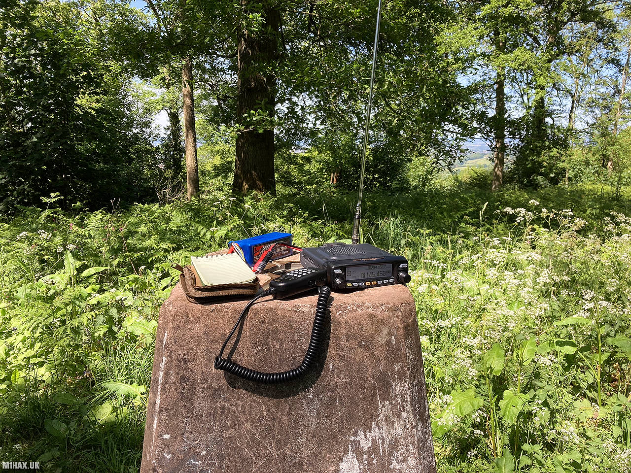
Radio Equipment: Yaesu FTM100D, MFJ-1714, Zippy 4200mAh 4S LiFePo4.
Callsign Used: M1HAX/P.
Contacts: 10 (2m FM).
Trip Notes
Aconbury Hill is a small one-point SOTA summit (276m) to the south of Hereford city, in England.
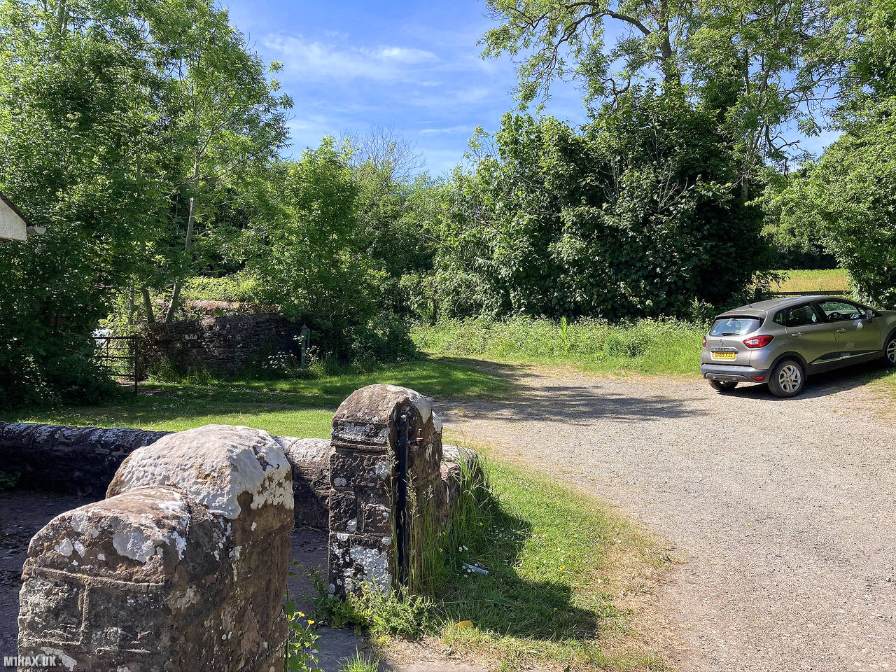
I parked in the village to the southwest of the summit. There is a village hall car park with a donation box for walkers, and also a couple of spaces by the church just a little further up the road.
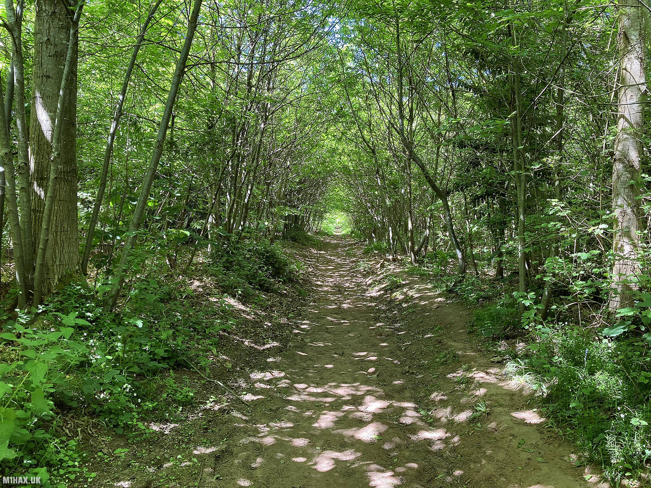
There is a network of paths across the hill, so checking a map or preparing a GPS route before arrival might be time well spent. The entire hill is woodland so it is not possible to see the summit while walking up.
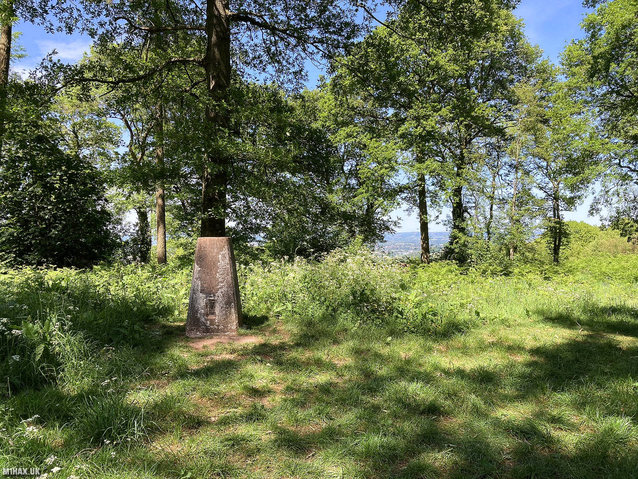
I followed the well-trodden paths to the summit where there is a trig point nestling in the forest.
As this is quite a low hill, it can be a bit difficult to activate on VHF or UHF frequencies. Using 50 watts on a weekend here I was OK, making ten contacts in fifteen minutes, but I have also struggled to activate this on a weekday, and wouldn’t want to try activating it using just a handheld radio.
After the successful activation I made my way back to the car. This is a pleasant spot for an easy walk, but if you want to guarantee your chances of a successful activation you should bring a HF radio set to the summit.
Back at the car, I made the short drive over to Garway Hill G/WB-013 for another SOTA activation.
Photos
Below are some photographs taken during my activation of Aconbury Hill on Monday 25th May, 2020.


Walking Route for Aconbury Hill
The interactive map below shows my GPS track taken to the SOTA activation zone for Aconbury Hill. The G/WB-024 summit area is marked on the map with a blue pin icon.
You can download the route shown above as a GPX file suitable for use with most GPS devices. This file is provided for information only, to support your own walk planning and research (it may contain navigation errors, detours and/or safety hazards). The route downloads provided here are governed by the Creative Commons BY-NC-SA 4.0 licence.
Station Log
I logged the following 10 amateur radio contacts operating as M1HAX/P from G/WB-024 Aconbury Hill on Monday 25th May, 2020 (all times shown are UTC):
| Time | Callsign | Band | Mode | Notes |
|---|---|---|---|---|
| 13:44 | G0LGS | 2m | FM | Stewart, 5/9 |
| 13:45 | M0JLA | 2m | FM | Rod, 5/9 |
| 13:46 | G4WTF | 2m | FM | Ian, 5/9 |
| 13:47 | 2E0MDJ | 2m | FM | Matt, 5/9 |
| 13:48 | M0AZE | 2m | FM | Mike, 5/7 |
| 13:49 | G4HWB | 2m | FM | Phil, 5/9 |
| 13:50 | G4KPM | 2m | FM | Malcolm, 5/9 |
| 13:57 | M0PBK | 2m | FM | Paul, 5/7 |
| 13:59 | G3TLD | 2m | FM | Mike, 5/9 |
| 14:00 | 2E0OVW | 2m | FM | Gillian, 5/9 |
In the notes field I will usually log the other operator’s name and the signal report they provided. In accordance with the Summits on the Air rules, I do not make a log entry where a complete exchange of callsigns and signal reports was unsuccessful.
Additional Information
The following resources may be helpful to walkers, mountaineers and SOTA activators interested in Aconbury Hill:
- Sotl.as Summit Page for G/WB-024 Aconbury Hill.
- Hill Bagging UK Summit Page for Aconbury Hill.
- Google Maps Page for Aconbury Hill.
- Wikipedia entry for Aconbury Hill.
If you found this content valuable, why not Buy Me a Coffee?