Beacon Batch - G/SC-003 SOTA (2020)

Summits on the Air Activation Report
Activation Date: Saturday 30th May, 2020.
Activator(s): Richard M1HAX.
Summit: Beacon Batch, South Central, England.
Summit ID: SOTA reference G/SC-003 (1 point).
Summit Height: 325m elevation, 237m prominence.
Summit Location: Lat./Long. 51.31215, -2.74082. Maidenhead Grid IO81px.
Distance: 2.3km travelled with 111m of ascent.
Difficulty: SAC Grade T1.(?)
Elapsed Time: 55m (including operating).
Weather: Feels like 22.8°C, 17 kph ESE wind, 36% humidity.
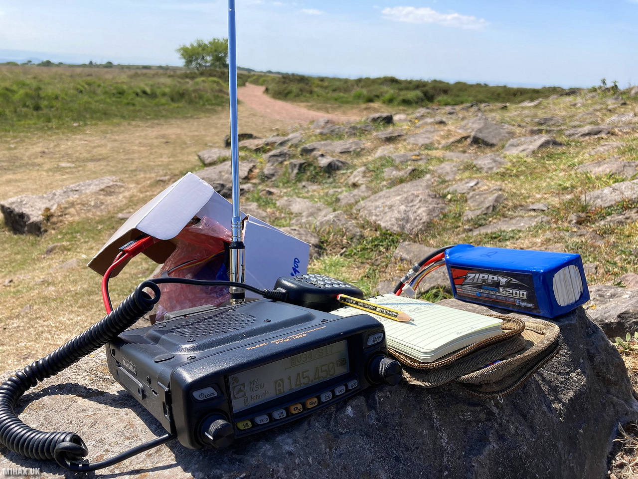
Radio Equipment: Yaesu FTM100D, MFJ-1714, Zippy 4200mAh 4S LiFePo4.
Callsign Used: M1HAX/P.
Contacts: 7 (2m FM).
Trip Notes
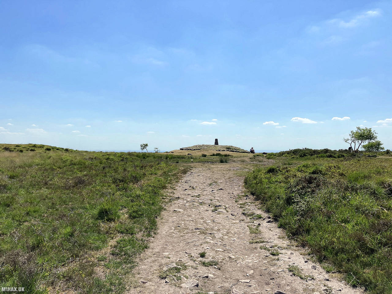
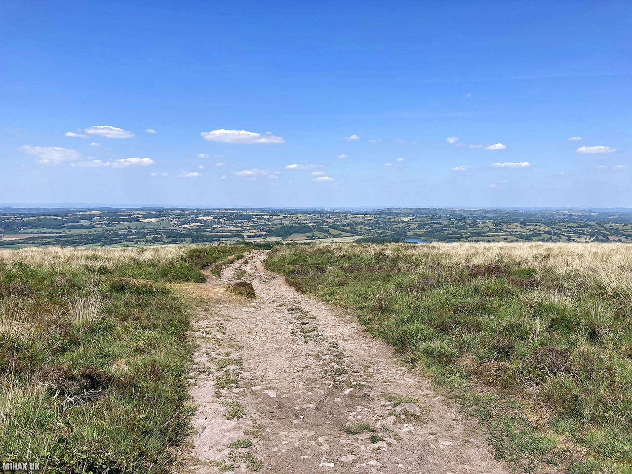
Beacon Batch is the highest point of Black Down, the highest hill in the Mendip Hills. It has Bronze Age round barrows and a trig point. The hill is located east of the Bristol Channel and offers views of the Chew Valley. The shortest route up is a 1 km path from Burrington Combe car park. The area is open-access and covered in moors with heather and bracken vegetation. The name Black Down comes from the Saxon word for “bleak down or fort”.
Beacon Batch was one of four small SOTA hills I chose to activate today, the others being Walbury Hill, Long Knoll, and Dundry Down.
I parked on the minor road to the north where there are some laybys and roadside parking available. This is however a popular hill with locals and walkers so finding a space can be tricky at weekends.
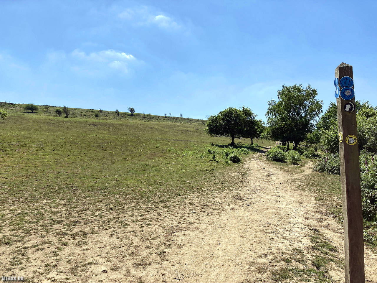
An obvious path leads south away from the road, through a wooded area. The hillside then becomes visible as the path splits off in multiple directions. I followed the path directly to the summit, up a gentle small climb.
At the summit I sat on the cairn structure by the trig point and got to work operating on VHF with my workhorse Yaesu FTM100D radio. I made a number of contacts without any difficulty, before heading back down towards the road. There is plenty of space at this summit for larger antenna installations.
It is possible to extend this walk to a more substantial one, with interesting features to the west/northwest which I have used for navigation training in the past.
Photos
Below are some photographs taken during my activation of Beacon Batch on Saturday 30th May, 2020.


Walking Route for Beacon Batch
The interactive map below shows my GPS track taken to the SOTA activation zone for Beacon Batch. The G/SC-003 summit area is marked on the map with a blue pin icon.
You can download the route shown above as a GPX file suitable for use with most GPS devices. This file is provided for information only, to support your own walk planning and research (it may contain navigation errors, detours and/or safety hazards). The route downloads provided here are governed by the Creative Commons BY-NC-SA 4.0 licence.
Station Log
I logged the following 7 amateur radio contacts operating as M1HAX/P from G/SC-003 Beacon Batch on Saturday 30th May, 2020 (all times shown are UTC):
| Time | Callsign | Band | Mode | Notes |
|---|---|---|---|---|
| 13:40 | G0LJS | 2m | FM | John, 5/1 |
| 13:42 | G4TCI | 2m | FM | Mike, 5/9 |
| 13:43 | MW0HMV | 2m | FM | Daran, 5/7 |
| 13:45 | GW4ZRW | 2m | FM | Steve, 5/5 |
| 13:48 | 2E1EMK | 2m | FM | James, 5/9 |
| 13:49 | G4FKA | 2m | FM | Geoff, 5/9 |
| 13:52 | G6TEQ | 2m | FM | Ian, 5/9 |
In the notes field I will usually log the other operator’s name and the signal report they provided. In accordance with the Summits on the Air rules, I do not make a log entry where a complete exchange of callsigns and signal reports was unsuccessful.
Additional Information
The following resources may be helpful to walkers, mountaineers and SOTA activators interested in Beacon Batch:
- Sotl.as Summit Page for G/SC-003 Beacon Batch.
- Hill Bagging UK Summit Page for Beacon Batch.
- Google Maps Page for Beacon Batch.
- Wikipedia entry for Beacon Batch.
If you found this content valuable, why not Buy Me a Coffee?