Seager Hill - G/WB-022 SOTA (2020)

Summits on the Air Activation Report
Activation Date: Friday 22nd May, 2020.
Activator(s): Richard M1HAX.
Summit: Seager Hill, Welsh Borders, England.
Summit ID: SOTA reference G/WB-022 (1 point).
Summit Height: 272m elevation, 167m prominence.
Summit Location: Lat./Long. 52.04733, -2.56461. Maidenhead Grid IO82rb.
Distance: 0.7km travelled with 40m of ascent.
Difficulty: SAC Grade T1.(?)
Elapsed Time: 30m (including operating).
Weather: Feels like 15.6°C, 20 kph WSW wind, 58% humidity.
Radio Equipment: Yaesu FTM100D, MFJ-1714, Zippy 4200mAh 4S LiFePo4.
Callsign Used: M1HAX/P.
Contacts: 6 (2m FM).
Trip Notes
Seager Hill (264m) is a small hill situated on a minor ridge line to the east of Hereford city in England. The summit is worth one point on the Summits on the Air amateur radio scheme.
There is a trig point marking the summit however the hill is not in ‘access land’ and as such has no public access. The immediate area is fenced off, with private land and CCTV signage. The woods appear to be used as a pheasant shooting area.
Due to the contouring of the ridge, the SOTA Activation Zone for G/WB-022 extends south east to include the right of way foot path near Jones’s Coppice (269m).
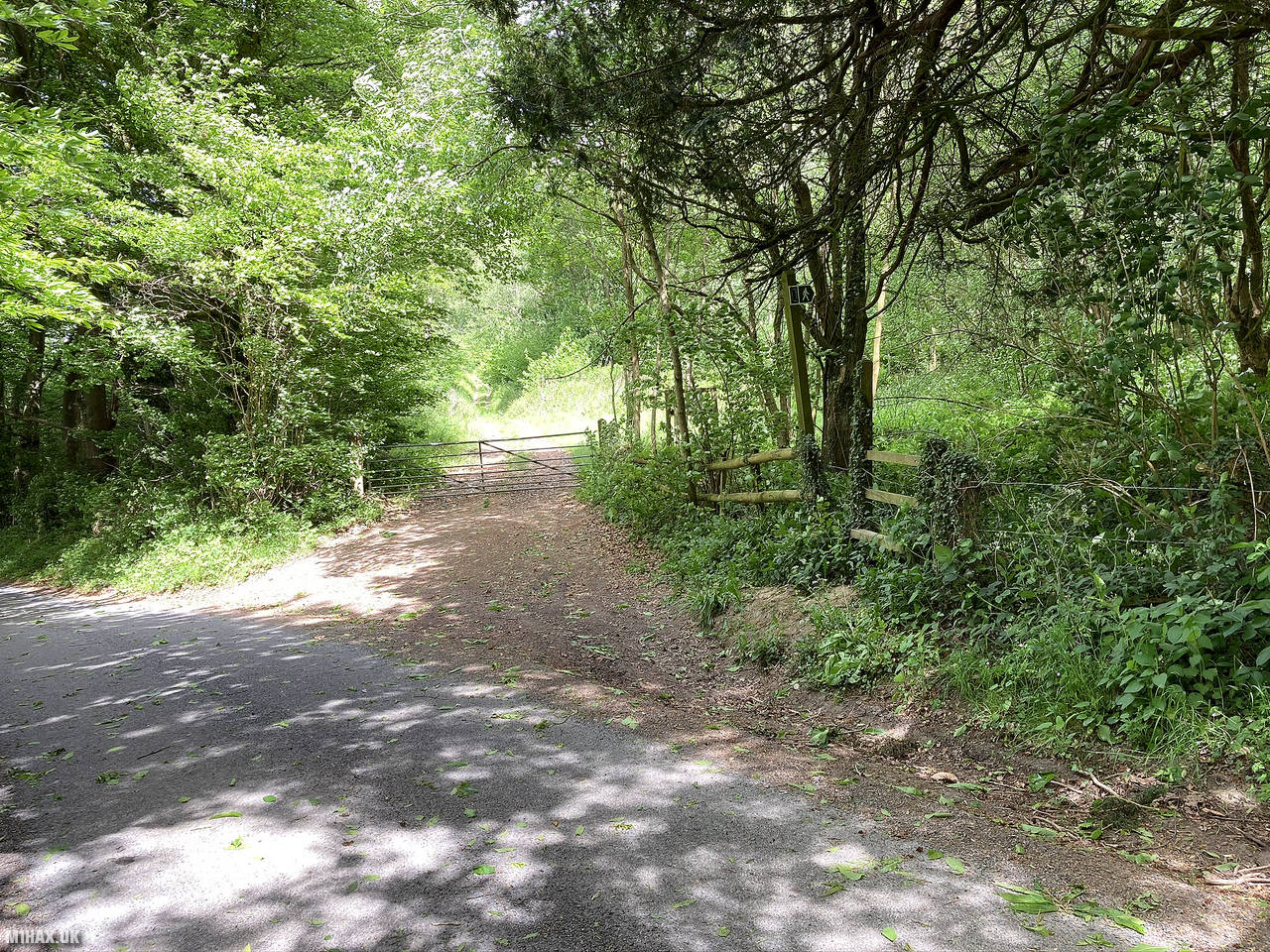
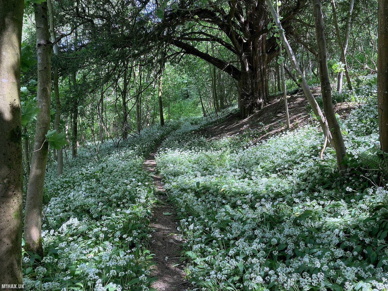
For this activation I started from the road south of Jones’s Coppice, where there is parking for one car by the forest track gate. I took the footpath through some pretty woodland to gain the path that runs across the ridge.
From here, I activated near the aerial mast along the ridge path. I made some quick SOTA contacts on VHF before returning to the car.
Should walkers be committed to ‘bagging’ the trig, you would need to bypass at least one barbed wire fence, climb around the back of a rather large very old gate, evading the CCTV installation, and then bash through an overgrown path filled with nettles. This would be best attempted on a Sunday when there is no shooting. Or, so I have heard. There are some more clues about access on the Hill Bagging website comments for this hill.
Photos
Below are some photographs taken during my activation of Seager Hill on Friday 22nd May, 2020.


Walking Route for Seager Hill
The interactive map below shows my GPS track taken to the SOTA activation zone for Seager Hill. The G/WB-022 summit area is marked on the map with a blue pin icon.
You can download the route shown above as a GPX file suitable for use with most GPS devices. This file is provided for information only, to support your own walk planning and research (it may contain navigation errors, detours and/or safety hazards). The route downloads provided here are governed by the Creative Commons BY-NC-SA 4.0 licence.
Station Log
I logged the following 6 amateur radio contacts operating as M1HAX/P from G/WB-022 Seager Hill on Friday 22nd May, 2020 (all times shown are UTC):
| Time | Callsign | Band | Mode | Notes |
|---|---|---|---|---|
| 10:32 | G0LGS | 2m | FM | Stewart, 5/9 |
| 10:35 | M0JLA | 2m | FM | Rod, 5/9 |
| 10:37 | M0WYP | 2m | FM | Josh, 5/9 |
| 10:38 | 2E0MDJ | 2m | FM | Matt, 5/9 |
| 10:39 | G4WTF | 2m | FM | Ian, 5/9 |
| 10:39 | G4HQB | 2m | FM | Phil, 5/3 |
In the notes field I will usually log the other operator’s name and the signal report they provided. In accordance with the Summits on the Air rules, I do not make a log entry where a complete exchange of callsigns and signal reports was unsuccessful.
Additional Information
The following resources may be helpful to walkers, mountaineers and SOTA activators interested in Seager Hill:
- Sotl.as Summit Page for G/WB-022 Seager Hill.
- Hill Bagging UK Summit Page for Seager Hill.
- Google Maps Page for Seager Hill.
- Wikipedia entry for Seager Hill.
If you found this content valuable, why not Buy Me a Coffee?