The Wrekin - G/WB-010 SOTA (2020)

Summits on the Air Activation Report
Activation Date: Friday 29th May, 2020.
Activator(s): Richard M1HAX.
Summit: The Wrekin, Welsh Borders, England.
Summit ID: SOTA reference G/WB-010 (1 point).
Summit Height: 407m elevation, 310m prominence.
Summit Location: Lat./Long. 52.67023, -2.55104. Maidenhead Grid IO82rq.
Distance: 4.9km travelled with 264m of ascent.
Difficulty: SAC Grade T1.(?)
Elapsed Time: 1hr 35m (including operating).
Weather: Feels like 23.9°C, 19 kph ESE wind, 24% humidity.
Radio Equipment: Yaesu FTM100D, MFJ-1714, Zippy 4200mAh 4S LiFePo4.
Callsign Used: M1HAX/P.
Contacts: 8 (2m FM).
Trip Notes
The Wrekin is a prominent hill located in Shropshire, England, and is one of the county’s most recognizable landmarks. It stands at a height of 407 meters and has been an important site for thousands of years, steeped in legend and folklore. According to local legend, the hill was formed when a giant named Gwendol threw a shovel full of earth from Wales across the border to form the Wrekin. During the Middle Ages, the hill was used as a beacon to warn of approaching danger, and during the English Civil War, it was the site of a significant battle.
Today, the Wrekin is a popular destination for tourists and locals alike, and its unique blend of natural beauty and historic significance make it a fascinating place to visit. There are several footpaths leading to the summit of the hill, including a popular trail known as the “Wrekin Walk.”
For this Summits on the Air activation I chose to approach from the northeast, parking near the car park at Lawrence’s Hill (231m).
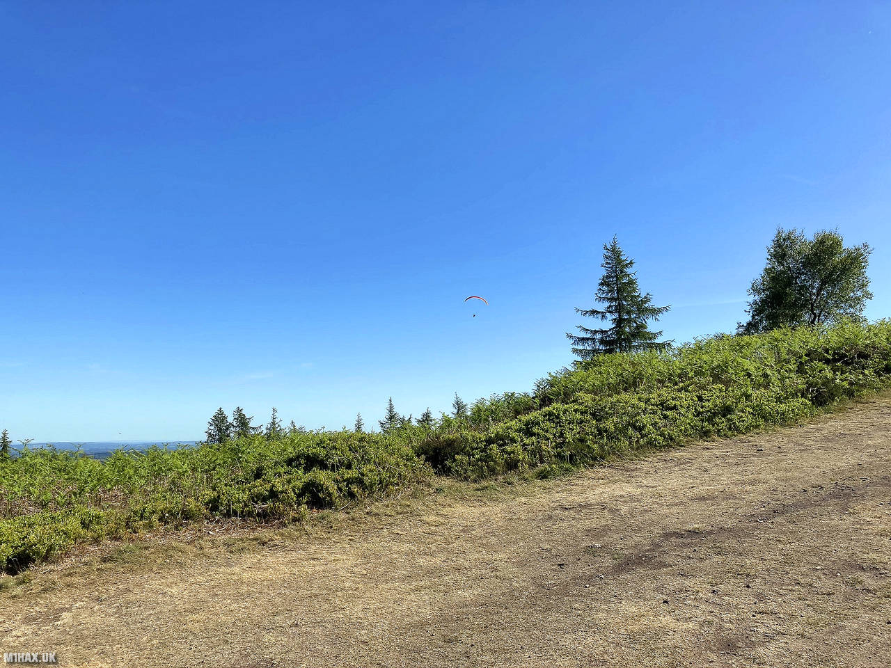
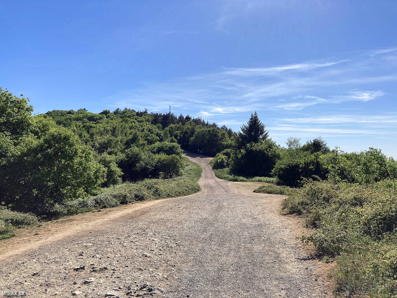
I followed the obvious gravel and dirt tracks up the hill, making a brief detour off-route to explore the woodland on the hill.
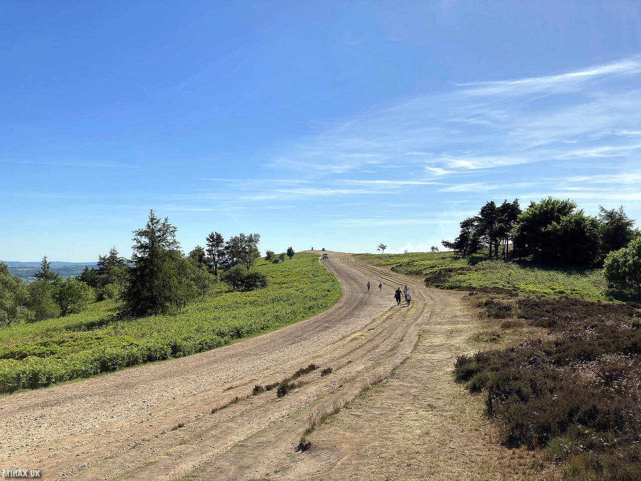
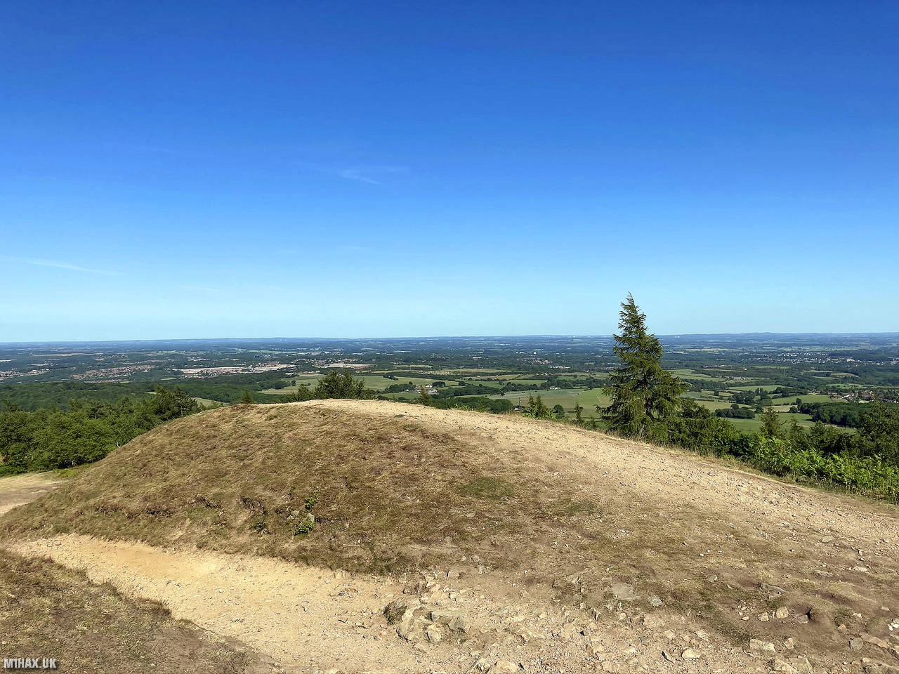
It was a very warm and sunny day, and the hill was bustling with dog walkers, locals and tourists. I arrived at the summit in just under an hour.
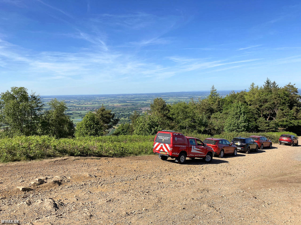
As I reached the summit there were a number of firefighting service vehicles present and people were being turned away from the summit due to a wildfire on the hill. I was unable to reach the trig point but managed to activate from a small knoll still within the activation zone a little way back down the main trail.
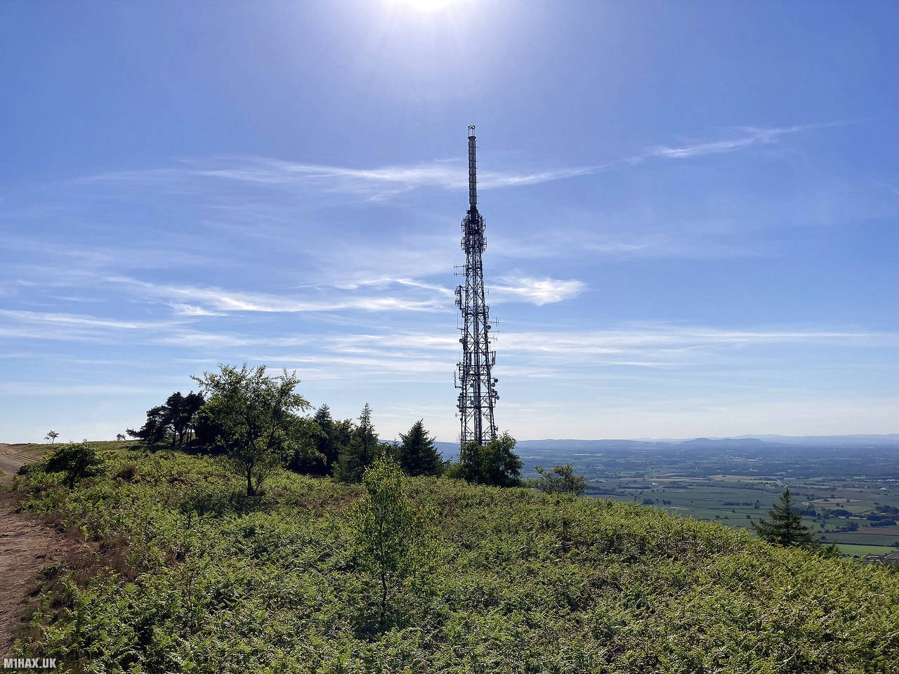
There is a large radio mast situated near the summit, but I did not experience any significant breakthrough or QRM with my Yaesu FTM100D.
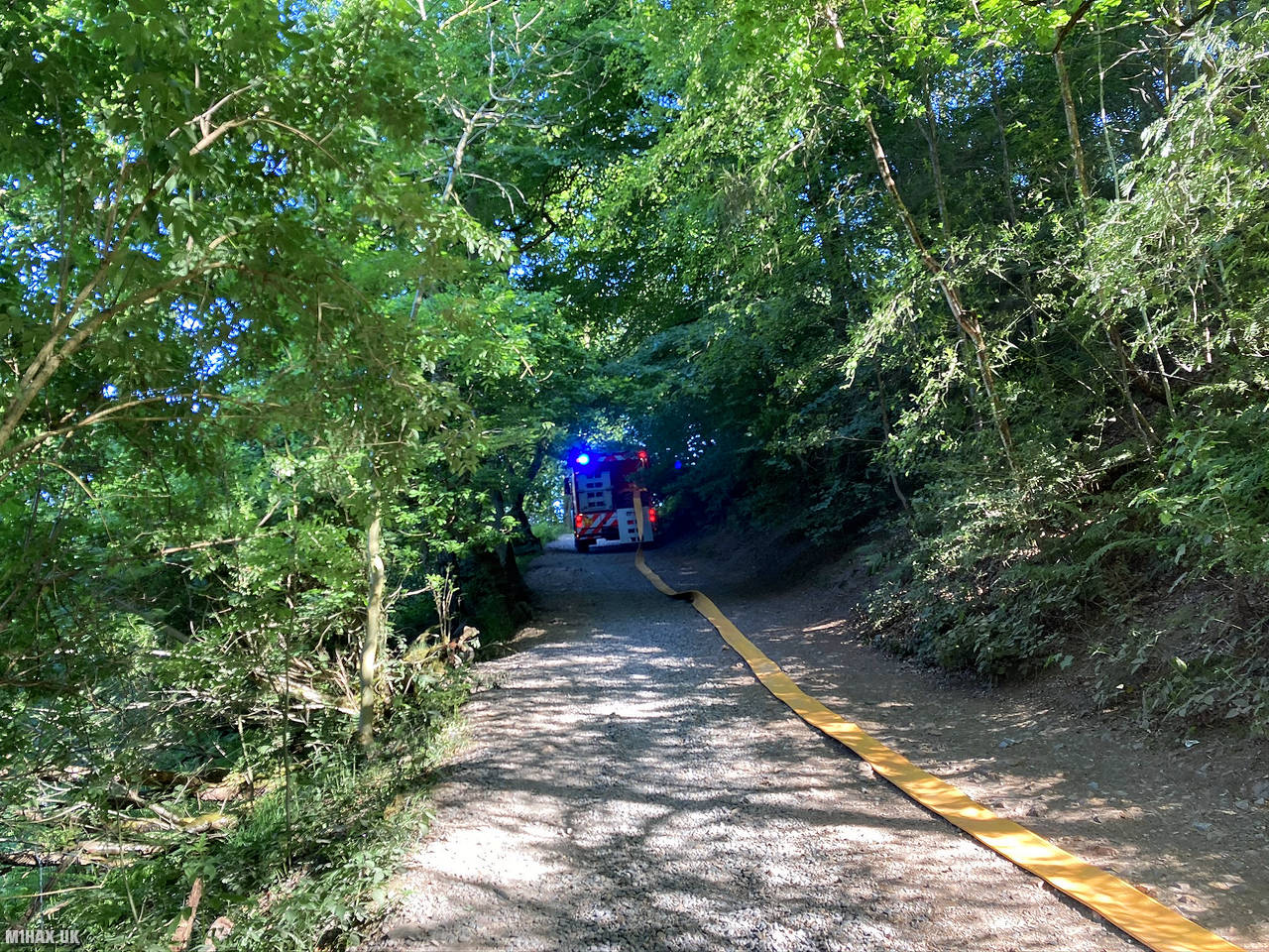
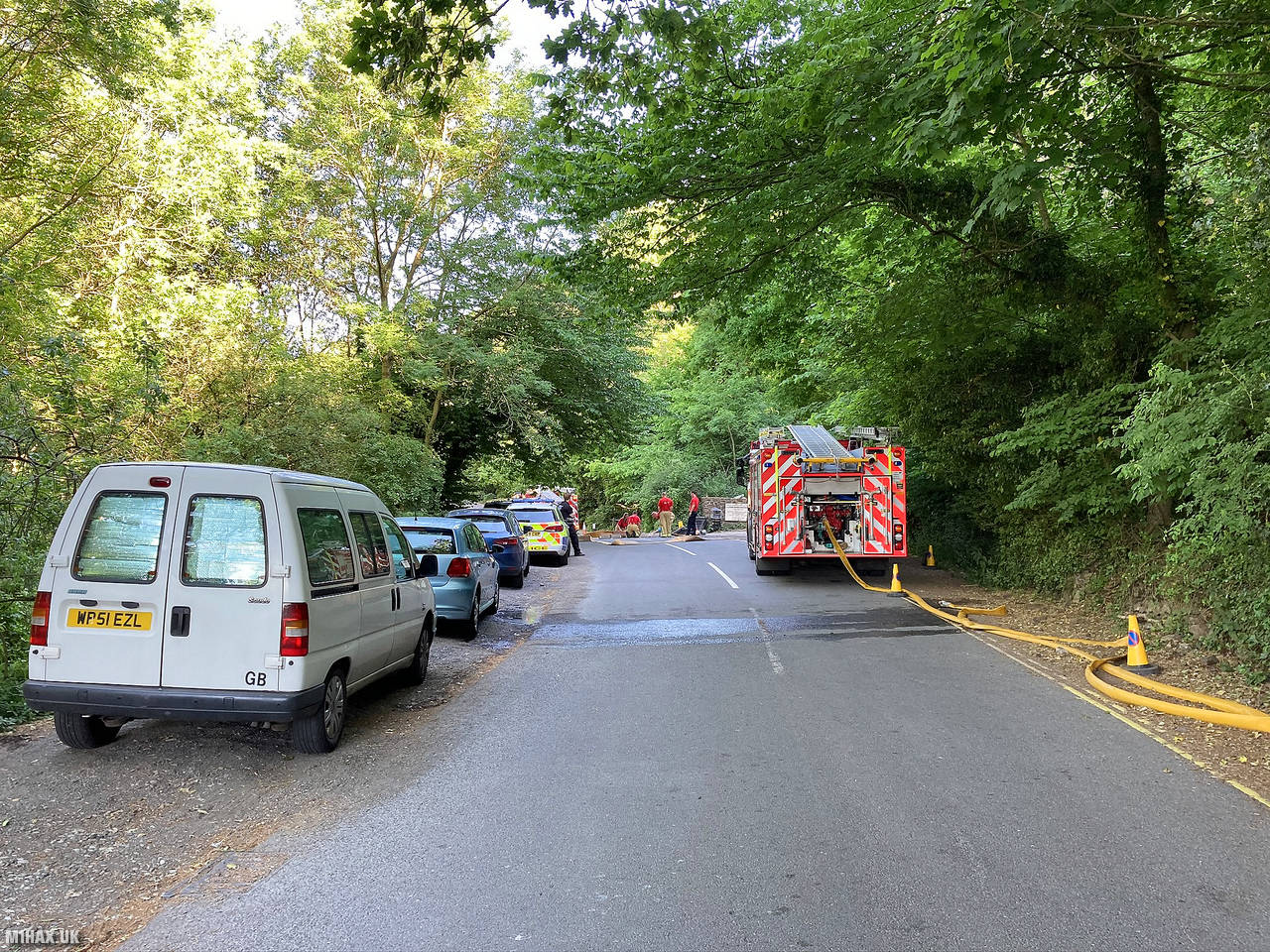
I completed a quick activation on the 2-metre band, before joining the crowds exiting the hilltop. As I walked back down towards the car to my amazement, there was a fire engine running a water hose from the roadside all the way to the summit!
This is a very pleasant and enjoyable hill to walk up with a reasonable amount of space for operating in at the top. If you haven’t ticked off The Wrekin G/WB-010 it is well worth a visit, particularly when enroute to the Snowdonia National Park.
Photos
Below are some photographs taken during my activation of The Wrekin on Friday 29th May, 2020.


Walking Route for The Wrekin
The interactive map below shows my GPS track taken to the SOTA activation zone for The Wrekin. The G/WB-010 summit area is marked on the map with a blue pin icon.
You can download the route shown above as a GPX file suitable for use with most GPS devices. This file is provided for information only, to support your own walk planning and research (it may contain navigation errors, detours and/or safety hazards). The route downloads provided here are governed by the Creative Commons BY-NC-SA 4.0 licence.
Station Log
I logged the following 8 amateur radio contacts operating as M1HAX/P from G/WB-010 The Wrekin on Friday 29th May, 2020 (all times shown are UTC):
| Time | Callsign | Band | Mode | Notes |
|---|---|---|---|---|
| 15:34 | 2E0MDJ | 2m | FM | Matt, 5/9 |
| 15:37 | G0LGS | 2m | FM | Stewart, 5/7 |
| 15:37 | 2E0LKC | 2m | FM | Peter, 5/9 |
| 15:39 | G1VCA | 2m | FM | John, 5/9 |
| 15:42 | 2E0LMD | 2m | FM | Anne, 5/9 |
| 15:45 | 2E1FMS | 2m | FM | Paul, 5/9 |
| 15:48 | GW6CWD | 2m | FM | George 5/9 |
| 15:50 | G4PGJ | 2m | FM | Dave, 5/7 |
In the notes field I will usually log the other operator’s name and the signal report they provided. In accordance with the Summits on the Air rules, I do not make a log entry where a complete exchange of callsigns and signal reports was unsuccessful.
Additional Information
The following resources may be helpful to walkers, mountaineers and SOTA activators interested in The Wrekin:
- Sotl.as Summit Page for G/WB-010 The Wrekin.
- Hill Bagging UK Summit Page for The Wrekin.
- Google Maps Page for The Wrekin.
- Wikipedia entry for The Wrekin.
If you found this content valuable, why not Buy Me a Coffee?