Walbury Hill - G/SE-001 SOTA (2020)

Summits on the Air Activation Report
Activation Date: Saturday 30th May, 2020.
Activator(s): Richard M1HAX.
Summit: Walbury Hill, Southern England, England.
Summit ID: SOTA reference G/SE-001 (1 point).
Summit Height: 297m elevation, 188m prominence.
Summit Location: Lat./Long. 51.35249, -1.46508. Maidenhead Grid IO91gi.
Distance: 1.5km travelled with 31m of ascent.
Difficulty: SAC Grade T1.(?)
Elapsed Time: 35m (including operating).
Weather: Feels like 15.0°C, 15 kph ENE wind, 69% humidity.
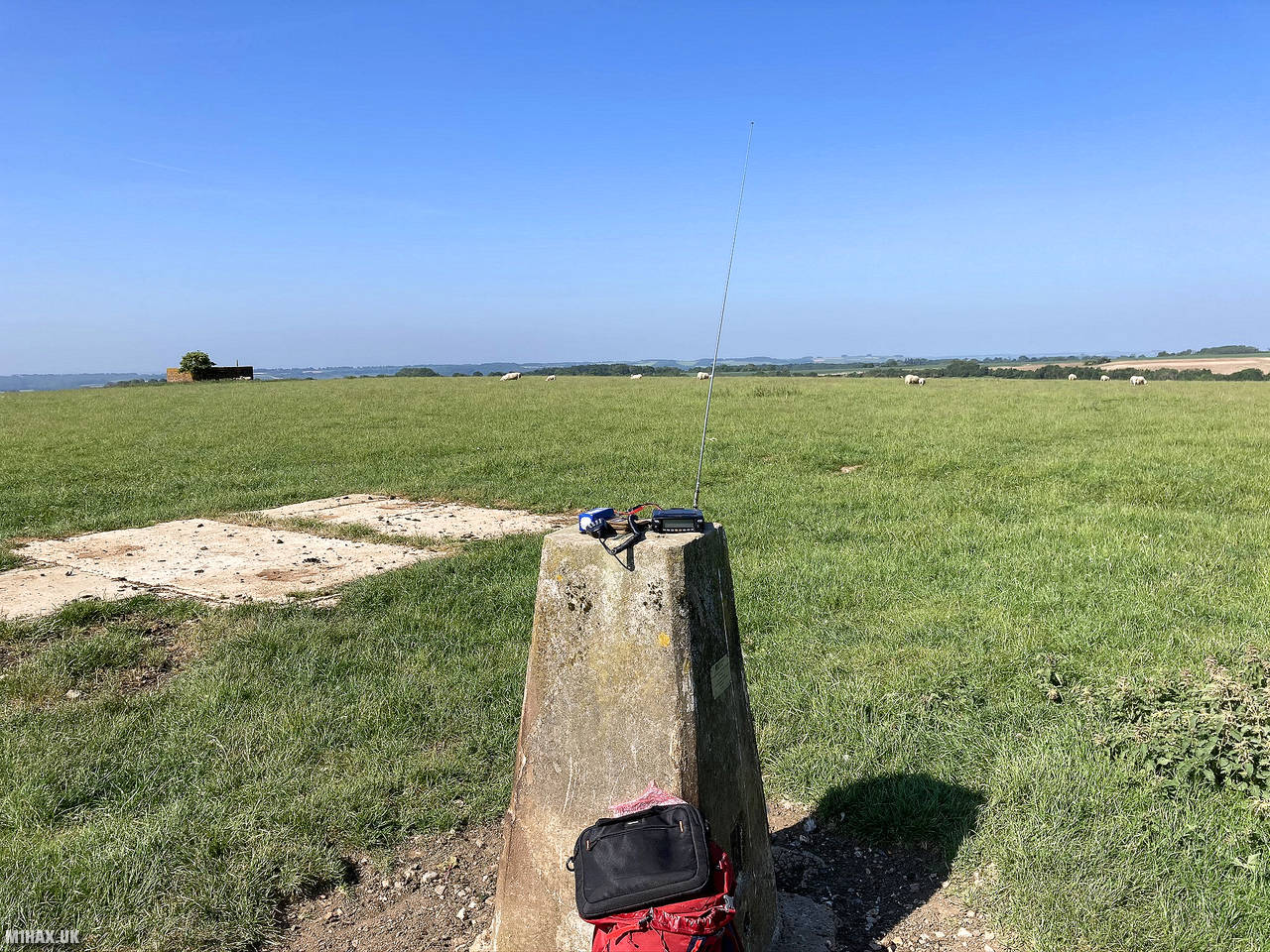
Radio Equipment: Yaesu FTM100D, MFJ-1714, Zippy 4200mAh 4S LiFePo4.
Callsign Used: M1HAX/P.
Contacts: 7 (2m FM).
Trip Notes
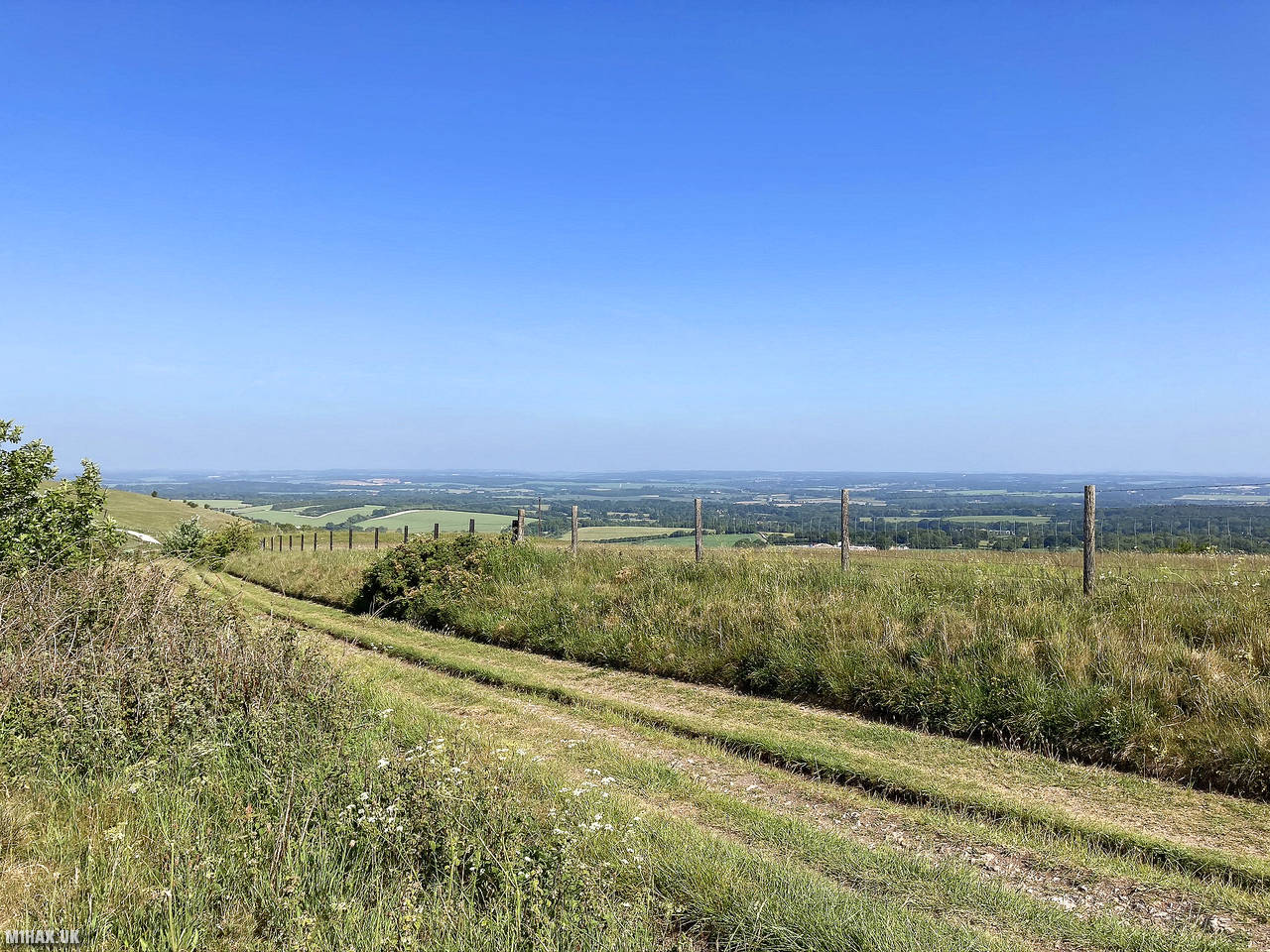
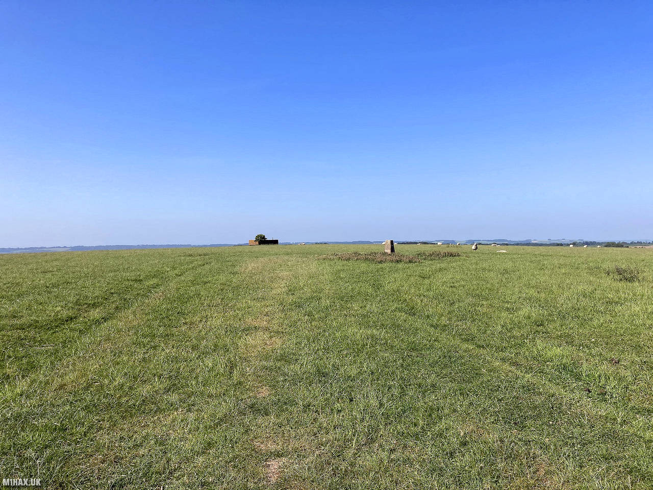
Walbury Hill, located in Berkshire, England, is the highest natural point in South East England, standing at 297 meters. It has an Iron Age hill fort at the summit, while its slopes are part of the Inkpen and Walbury Hills SSSI. The hill is one of three nationally significant chalk wild grasslands in the North Wessex Downs.
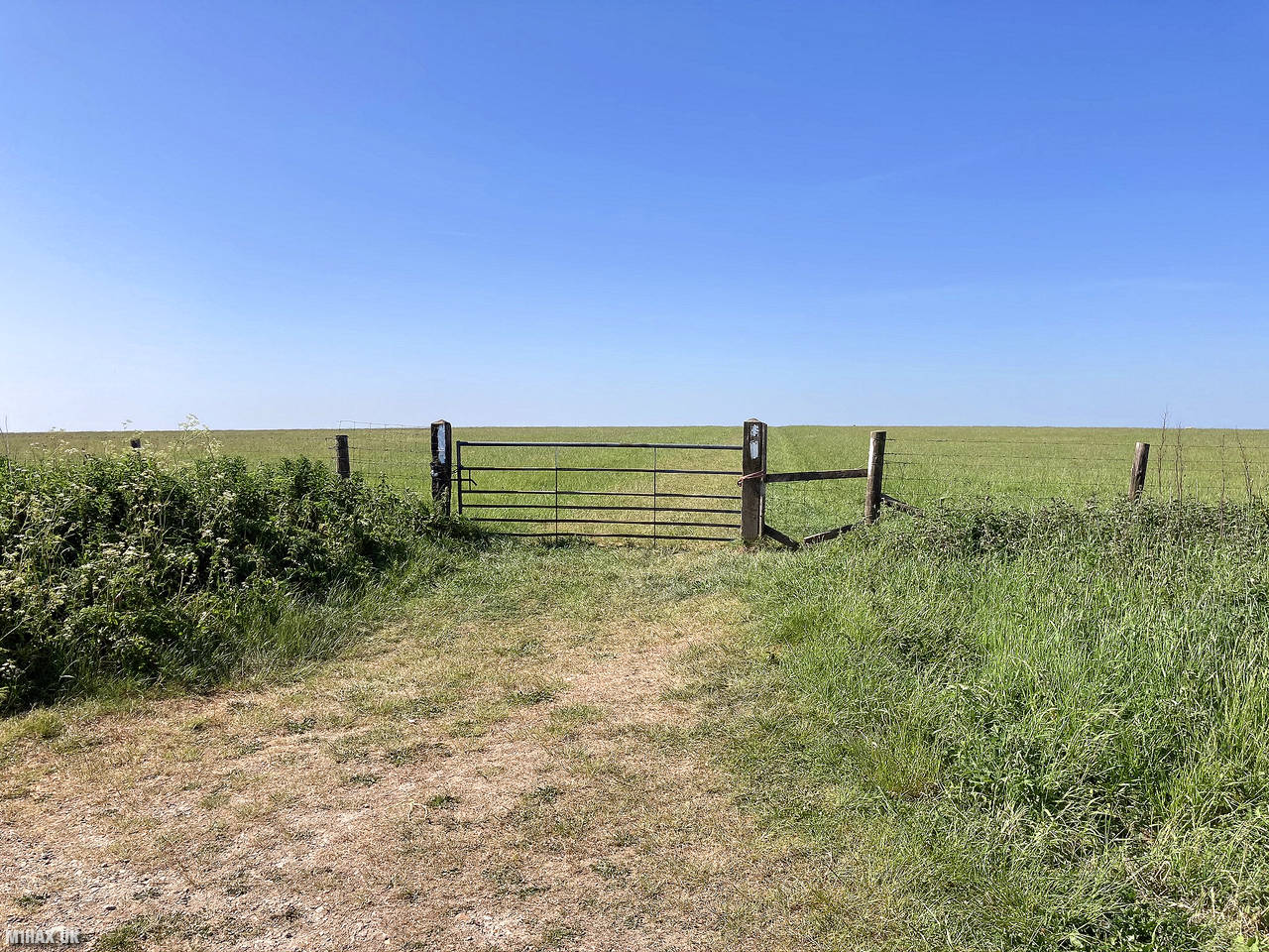
A triangulation pillar marks the summit, but it is on private land with no public access, though public access is available to the north of the summit via a byway.
This is one of four small one-point hills I was activating today, on a SOTA road trip around the sunny English countryside.
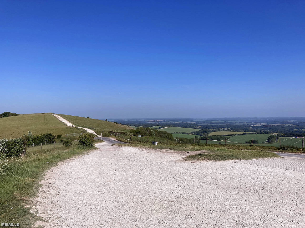
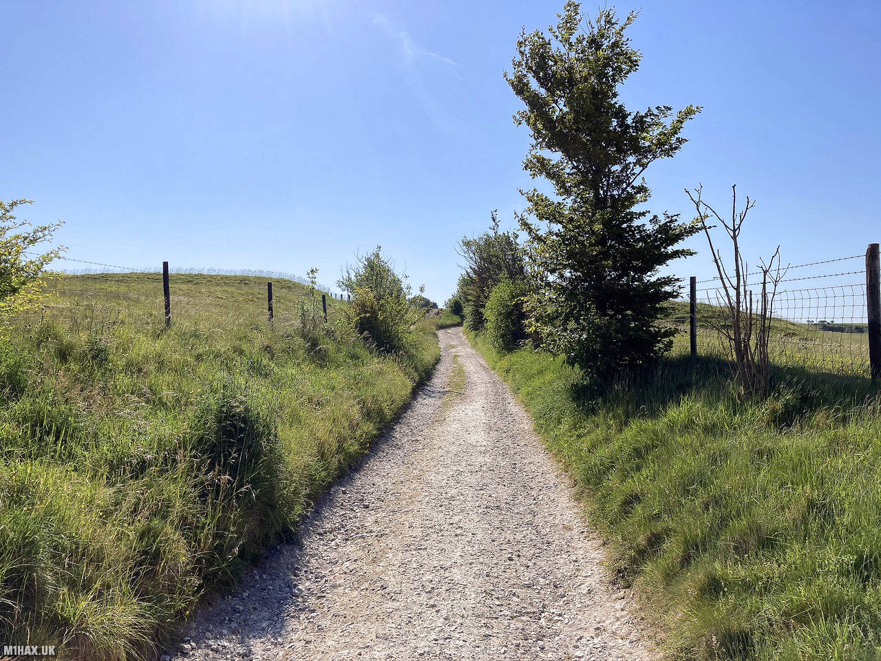
There is a gravel car park at Inkpen Beacon (beware significant potholes). I parked here and quickly walked about 700 metres along the bridleway where there is a farm gate which goes in to an adjacent field where the trig point lies. This gate is within the activation zone, and the field is private land.
Anecdotally the land owner does not mind walkers accessing the field to reach the trig point, however you should seek permission accordingly or operate from the bridleway.
Despite it being early in the morning on a weekend, I readily made a number of contacts on 2-metres FM, running my Yaesu FTM100D at 50 watts. There was some tropospheric ducting occurring at the time, and I achieved a remarkable DX contact in to France, with Marc F6IIV.
I then returned back along the bridleway to the car, heading off to my next SOTA summit of the day.
Photos
Below are some photographs taken during my activation of Walbury Hill on Saturday 30th May, 2020.


Walking Route for Walbury Hill
The interactive map below shows my GPS track taken to the SOTA activation zone for Walbury Hill. The G/SE-001 summit area is marked on the map with a blue pin icon.
You can download the route shown above as a GPX file suitable for use with most GPS devices. This file is provided for information only, to support your own walk planning and research (it may contain navigation errors, detours and/or safety hazards). The route downloads provided here are governed by the Creative Commons BY-NC-SA 4.0 licence.
Station Log
I logged the following 7 amateur radio contacts operating as M1HAX/P from G/SE-001 Walbury Hill on Saturday 30th May, 2020 (all times shown are UTC):
| Time | Callsign | Band | Mode | Notes |
|---|---|---|---|---|
| 08:40 | 2E1EMK | 2m | FM | James, 5/2 |
| 08:45 | F6IIV | 2m | FM | Marc, 5/5 |
| 08:48 | G1ERM | 2m | FM | Darren, 5/6 |
| 08:49 | M6RJA | 2m | FM | Robert, 5/9 |
| 08:51 | M0PRJ | 2m | FM | Paul, 5/2 |
| 08:54 | 2E0BUK | 2m | FM | Michael, 4/4 |
| 08:56 | G6HUI/M | 2m | FM | Brian, 5/7 |
In the notes field I will usually log the other operator’s name and the signal report they provided. In accordance with the Summits on the Air rules, I do not make a log entry where a complete exchange of callsigns and signal reports was unsuccessful.
Additional Information
The following resources may be helpful to walkers, mountaineers and SOTA activators interested in Walbury Hill:
- Sotl.as Summit Page for G/SE-001 Walbury Hill.
- Hill Bagging UK Summit Page for Walbury Hill.
- Google Maps Page for Walbury Hill.
- Wikipedia entry for Walbury Hill.
- 360° Panorama near summit of G/SE-001 Walbury Hill.
If you found this content valuable, why not Buy Me a Coffee?