Walton Hill - G/CE-002 SOTA (2020)

Summits on the Air Activation Report
Activation Date: Friday 29th May, 2020.
Activator(s): Richard M1HAX.
Summit: Walton Hill, Central England, England.
Summit ID: SOTA reference G/CE-002 (1 point).
Summit Height: 316m elevation, 210m prominence.
Summit Location: Lat./Long. 52.41621, -2.08582. Maidenhead Grid IO82wj.
Distance: 1.7km travelled with 54m of ascent.
Difficulty: SAC Grade T1.(?)
Elapsed Time: 40m (including operating).
Weather: Feels like 23.9°C, 13 kph E wind, 29% humidity.
Radio Equipment: Yaesu FTM100D, MFJ-1714, Zippy 4200mAh 4S LiFePo4.
Callsign Used: M1HAX/P.
Contacts: 4 (2m FM).
Trip Notes
Walton Hill is a hill located in the county of Worcestershire, England, and is part of the Clent Hills range. It is located near the towns of Bromsgrove and Halesowen and is 316 meters in height. During the Second World War, the hill was used as an observation point by the Home Guard, and there are still several bunkers and observation posts that can be seen today.
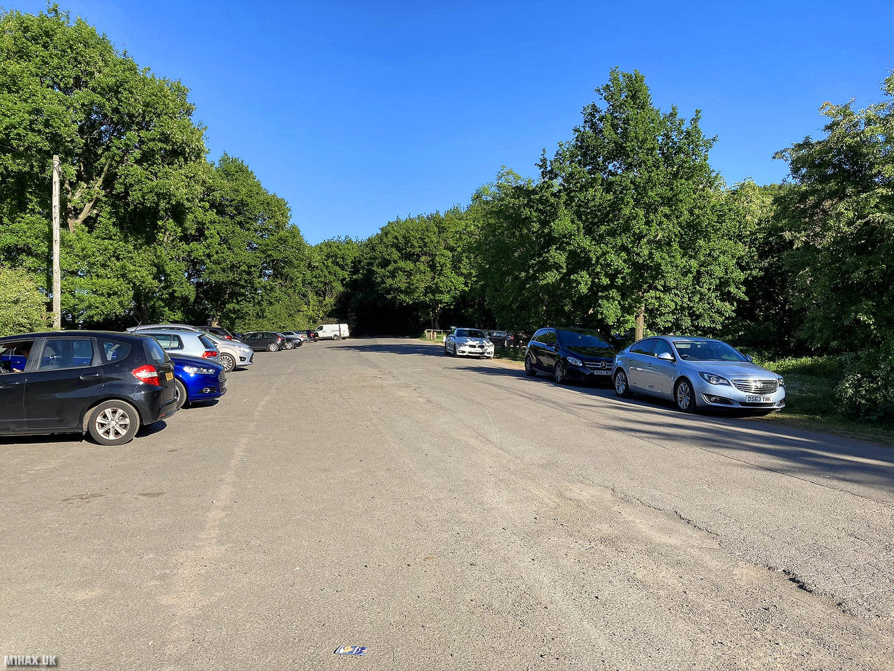
I parked at the large but busy roadside car parking on Walton Hill Road to the direct north of the hill.
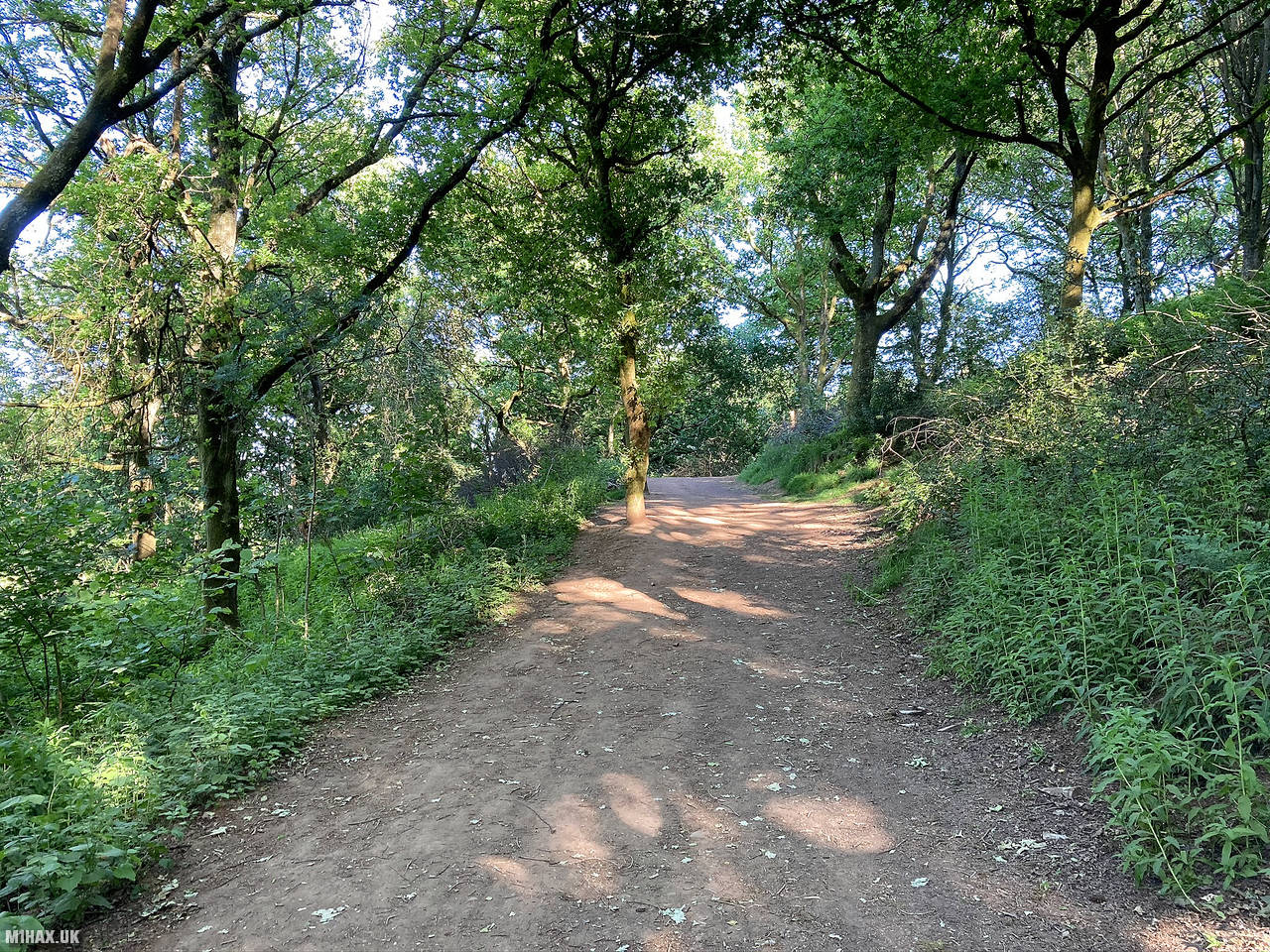
An obvious and well-trodden foot path heads through woodland to the south east before winding south towards the summit.
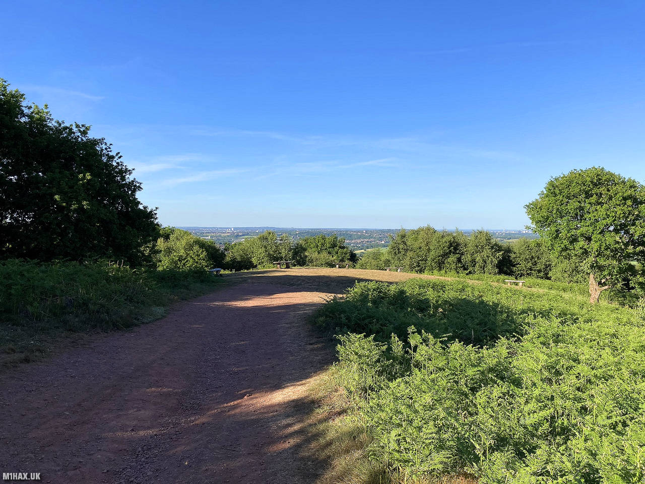
The hill was very busy on the sunny Friday evening that I visited, and is obviously popular with local walkers.
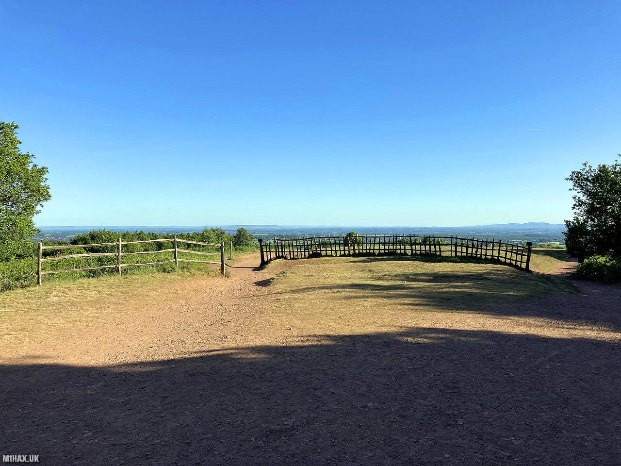
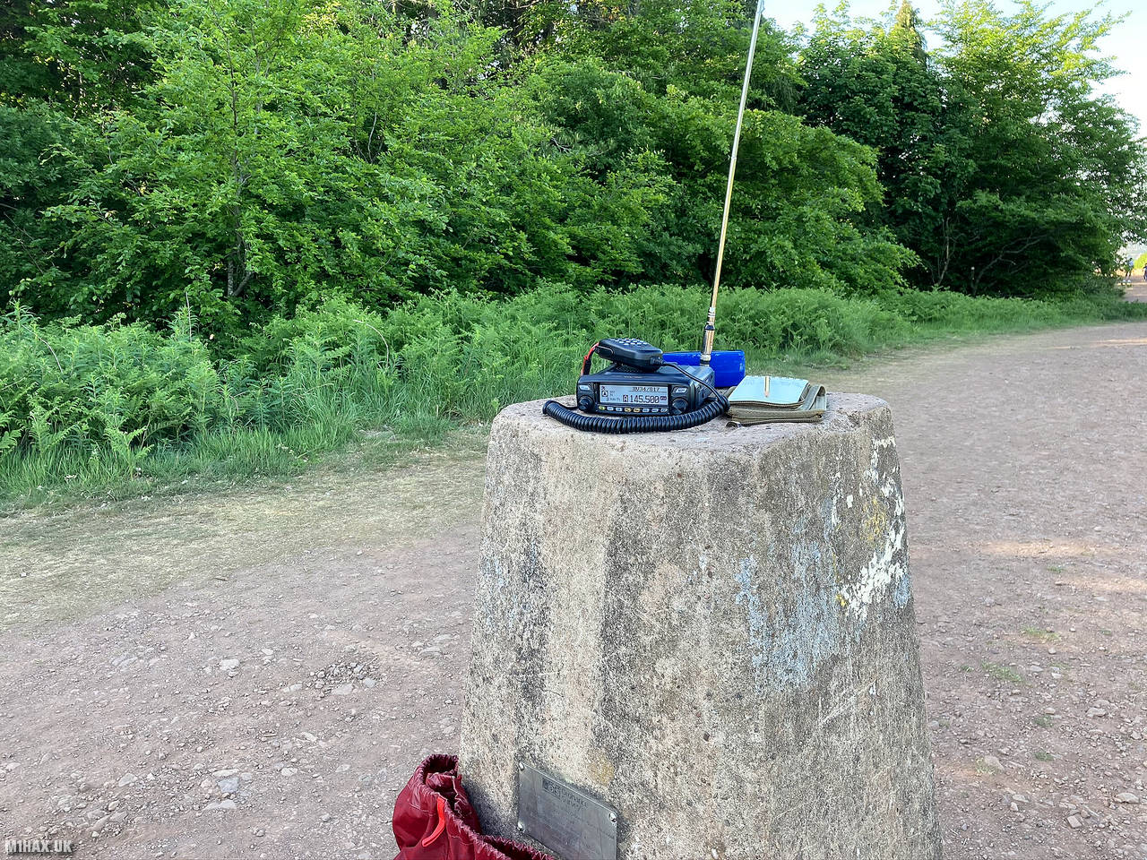
There is a trig point at the summit, which I used to operate from, quickly grabbing four QSOs on 2 metres before heading back down towards the car. There is some space for HF antennas on the grassy areas away from the paths, but SOTA activators should keep in mind this is a busy hill.
Photos
Below are some photographs taken during my activation of Walton Hill on Friday 29th May, 2020.


Walking Route for Walton Hill
The interactive map below shows my GPS track taken to the SOTA activation zone for Walton Hill. The G/CE-002 summit area is marked on the map with a blue pin icon.
You can download the route shown above as a GPX file suitable for use with most GPS devices. This file is provided for information only, to support your own walk planning and research (it may contain navigation errors, detours and/or safety hazards). The route downloads provided here are governed by the Creative Commons BY-NC-SA 4.0 licence.
Station Log
I logged the following 4 amateur radio contacts operating as M1HAX/P from G/CE-002 Walton Hill on Friday 29th May, 2020 (all times shown are UTC):
| Time | Callsign | Band | Mode | Notes |
|---|---|---|---|---|
| 17:19 | 2E0MDJ | 2m | FM | Matt, 5/9 |
| 17:20 | G0LGS | 2m | FM | Stewart, 5/9 |
| 17:22 | M0JLA | 2m | FM | Rod, 5/1 |
| 17:26 | 2E0NPC | 2m | FM | Neil, 5/9 |
In the notes field I will usually log the other operator’s name and the signal report they provided. In accordance with the Summits on the Air rules, I do not make a log entry where a complete exchange of callsigns and signal reports was unsuccessful.
Additional Information
The following resources may be helpful to walkers, mountaineers and SOTA activators interested in Walton Hill:
- Sotl.as Summit Page for G/CE-002 Walton Hill.
- Hill Bagging UK Summit Page for Walton Hill.
- Google Maps Page for Walton Hill.
- Wikipedia entry for Walton Hill.
If you found this content valuable, why not Buy Me a Coffee?