Ingleborough - G/NP-005 SOTA (2020)

Summits on the Air Activation Report
Activation Date: Saturday 20th June, 2020.
Activator(s): Richard M1HAX.
Summit: Ingleborough, Northern Pennines, England.
Summit ID: SOTA reference G/NP-005 (6 points).
Summit Height: 724m elevation, 427m prominence.
Summit Location: Lat./Long. 54.16643, -2.39782. Maidenhead Grid IO84td.
Also Activated: G/NP-004, G/NP-010.
Distance: 40.4km travelled with 1609m of ascent.
Difficulty: SAC Grade T2.(?)
Elapsed Time: 10hr 50m (incl. operating and other summit(s) on the same hike).
Weather: Feels like 12.8°C, 9 kph SSW wind, 91% humidity.
Radio Equipment: Yaesu FTM100D, MFJ-1714, Zippy 4200mAh 4S LiFePo4.
Callsign Used: M1HAX/P.
Contacts: 10 (2m FM).
Trip Notes
The Yorkshire Three Peaks hiking route is a circular trek covering approximately 40 kilometres. The route includes ascending three of the highest peaks in Yorkshire, England, namely Pen-y-ghent (694 meters), Whernside (736 meters), and Ingleborough (723 meters).
Whilst this popular trek is challenging, and often undertaken in a guided group, experienced hill walkers will not struggle with the logistics or technical features of the route. It typically takes between 9 and 12 hours to complete, depending on fitness levels and weather conditions. I undertook the route solo, activating all three mountains for the Summits on the Air amateur radio scheme.
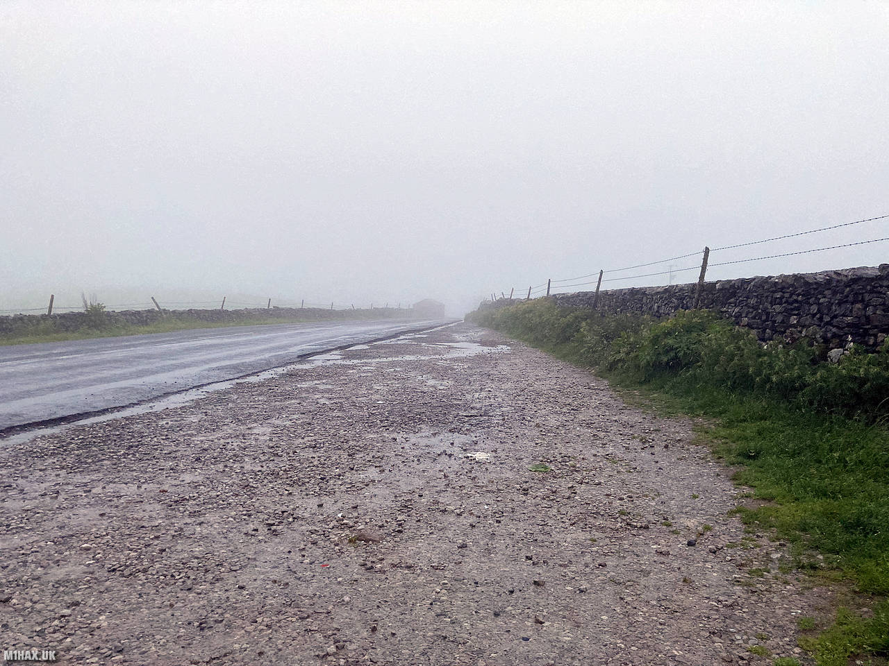
After a very early start, I parked on the roadside near Chapel-le-Dale and started the circuit in a counter-clockwise direction. I set off on the hike at 7:30am in low cloud and light rain.
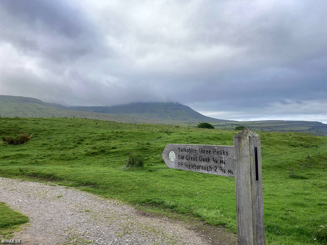
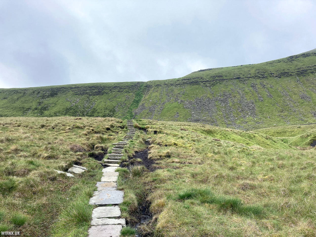
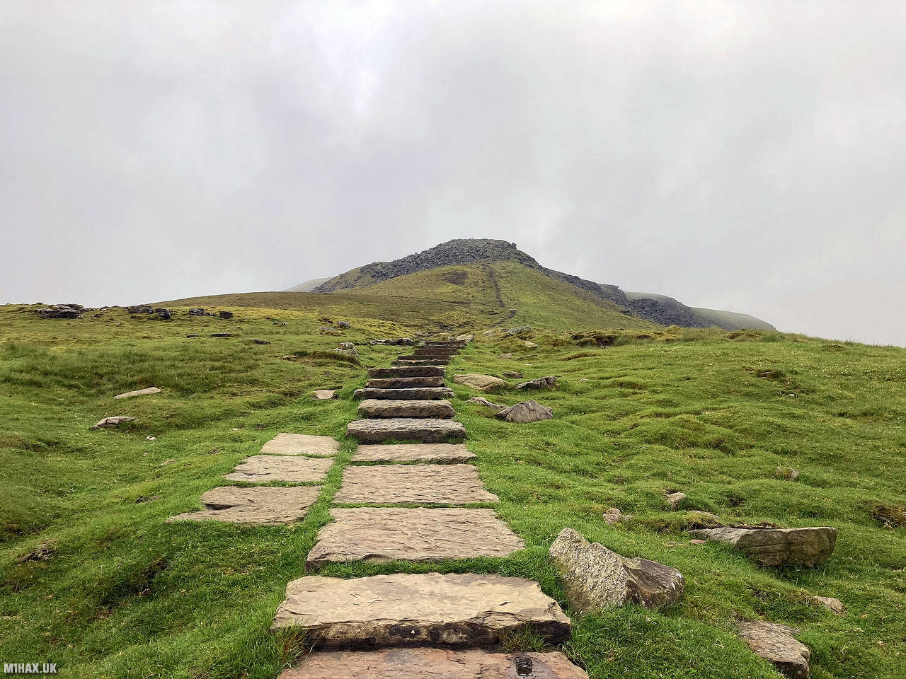
The first summit along the route was G/NP-005 Ingleborough, reached after about 4km of steep uphill walking (approx. 500m ascent). It took about an hour to reach the top from the car.
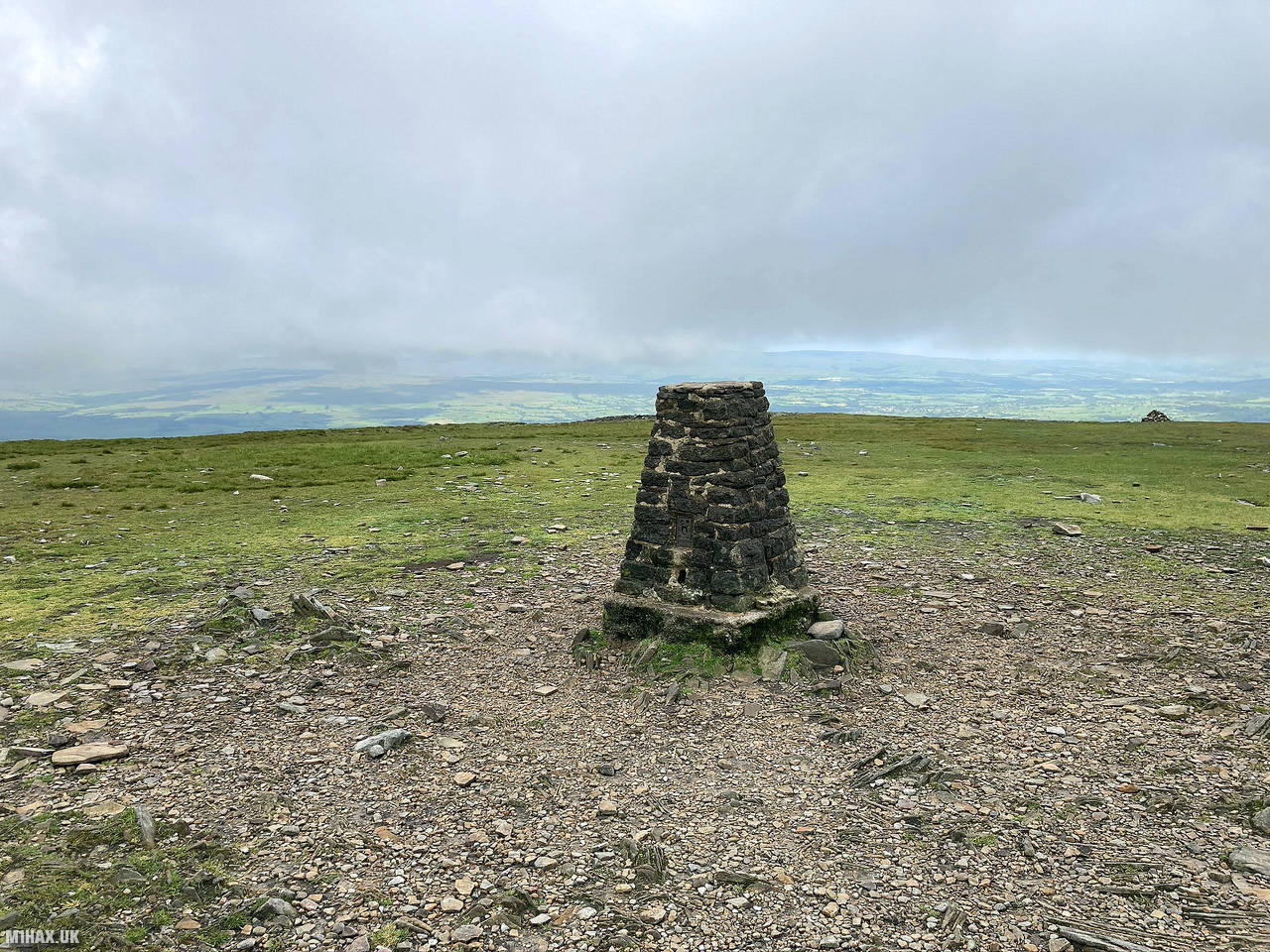
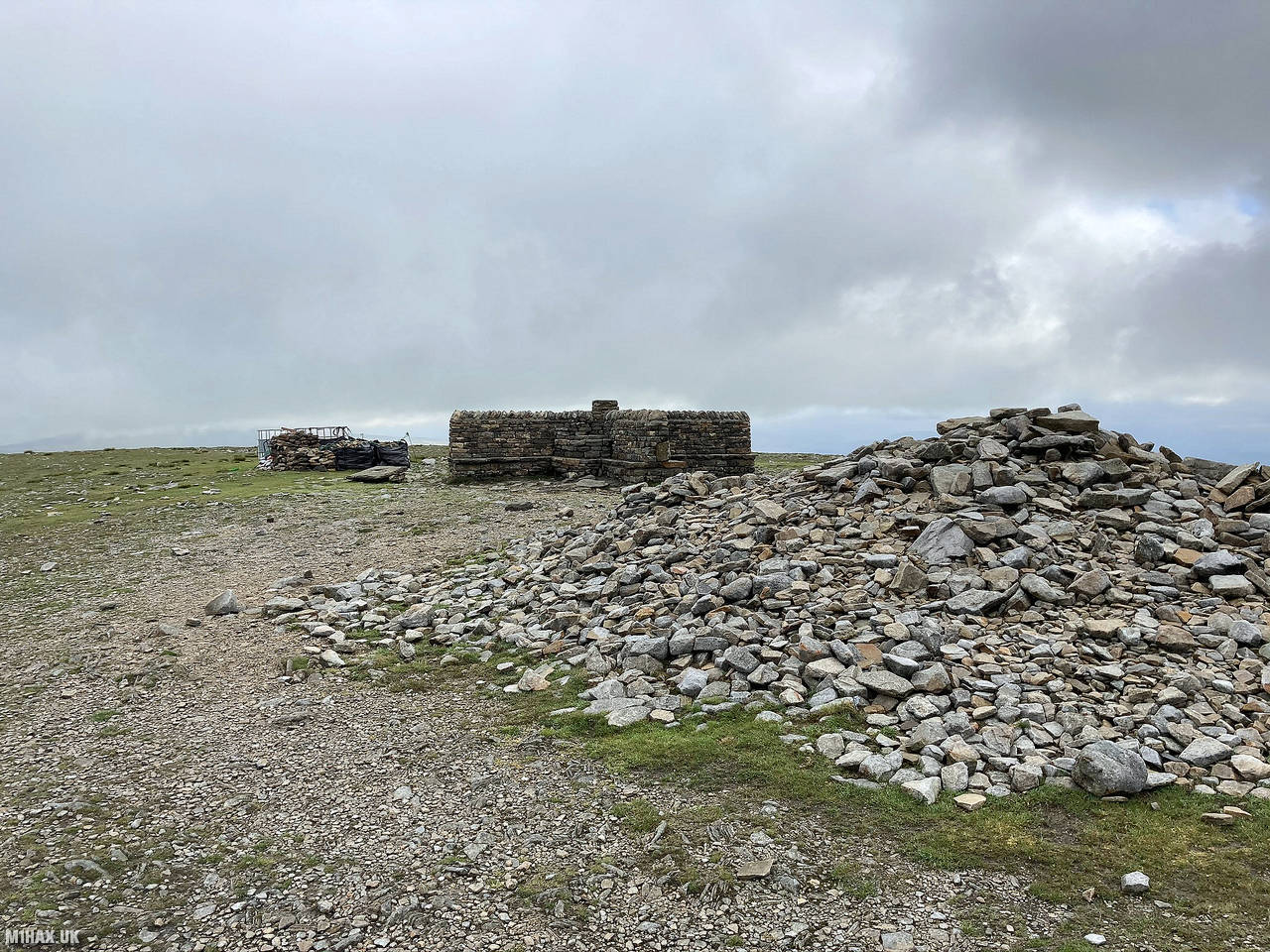
A well paved path leads directly to the summit, where there is a trig point, cairn and summit shelter.
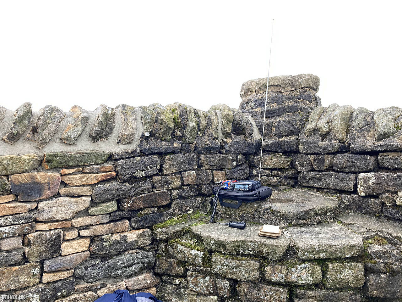
I set up my Yaesu FTM-100D radio in the summit shelter and started working local stations on the 2-metre band. Despite the fact I was using reduced power in order to conserve the battery through the trip, and it being relatively early in the morning, I quickly made ten contacts.
After packing away the radio and having a quick snack I descended the path in the direction I had climbed up, before continuing west towards the next summit of Pen-y-ghent G/NP-010.
Photos
Below are some photographs taken during my activation of Ingleborough on Saturday 20th June, 2020.


Walking Route for Ingleborough
The interactive map below shows my GPS track taken to the SOTA activation zone for Ingleborough. Note that this summit was activated as part of a multi-summit hike and the map below shows the full route taken on the day. The G/NP-005 summit area is marked on the map with a blue pin icon.
You can download the route shown above as a GPX file suitable for use with most GPS devices. This file is provided for information only, to support your own walk planning and research (it may contain navigation errors, detours and/or safety hazards). The route downloads provided here are governed by the Creative Commons BY-NC-SA 4.0 licence.
Station Log
I logged the following 10 amateur radio contacts operating as M1HAX/P from G/NP-005 Ingleborough on Saturday 20th June, 2020 (all times shown are UTC):
| Time | Callsign | Band | Mode | Notes |
|---|---|---|---|---|
| 07:50 | 2E0EVD | 2m | FM | Clive, 5/9 |
| 07:53 | G4BLH | 2m | FM | Mike, 5/9 |
| 07:54 | 2E0AGB | 2m | FM | Allen, 5/9 |
| 07:56 | M7AOZ | 2m | FM | Duncan, 5/9 |
| 07:56 | 2E0VRX | 2m | FM | Craig, 5/7 |
| 07:57 | G0TYM | 2m | FM | Tim, 5/3 |
| 07:58 | G4MYU | 2m | FM | Art, 5/9 |
| 07:59 | G6HMN | 2m | FM | Ray, 5/9 |
| 07:59 | G0TVB | 2m | FM | Paul, 5/9 |
| 08:01 | M0KLM | 2m | FM | Bryn, 5/9 |
In the notes field I will usually log the other operator’s name and the signal report they provided. In accordance with the Summits on the Air rules, I do not make a log entry where a complete exchange of callsigns and signal reports was unsuccessful.
Additional Information
The following resources may be helpful to walkers, mountaineers and SOTA activators interested in Ingleborough:
- Sotl.as Summit Page for G/NP-005 Ingleborough.
- Hill Bagging UK Summit Page for Ingleborough.
- Google Maps Page for Ingleborough.
- Wikipedia entry for Ingleborough.
If you found this content valuable, why not Buy Me a Coffee?