Pen-y-ghent - G/NP-010 SOTA (2020)

Summits on the Air Activation Report
Activation Date: Saturday 20th June, 2020.
Activator(s): Richard M1HAX.
Summit: Pen-y-ghent, Northern Pennines, England.
Summit ID: SOTA reference G/NP-010 (4 points).
Summit Height: 694m elevation, 306m prominence.
Summit Location: Lat./Long. 54.15601, -2.24874. Maidenhead Grid IO84vd.
Also Activated: G/NP-004, G/NP-005.
Distance: 40.4km travelled with 1609m of ascent.
Difficulty: SAC Grade T2.(?)
Elapsed Time: 10hr 50m (incl. operating and other summit(s) on the same hike).
Weather: Feels like 12.8°C, 9 kph SSW wind, 91% humidity.
Radio Equipment: Yaesu FTM100D, MFJ-1714, Zippy 4200mAh 4S LiFePo4.
Callsign Used: M1HAX/P.
Contacts: 24 (2m FM).
Trip Notes
The Yorkshire Three Peaks hiking route is a circular trek covering approximately 40 kilometres. The route includes ascending three of the highest peaks in Yorkshire, England, namely Pen-y-ghent (694 meters), Whernside (736 meters), and Ingleborough (723 meters).
Whilst this popular trek is challenging, and often undertaken in a guided group, experienced hill walkers will not struggle with the logistics or technical features of the route. It typically takes between 9 and 12 hours to complete, depending on fitness levels and weather conditions. I undertook the route solo, activating all three mountains for the Summits on the Air amateur radio scheme.
Pen-y-ghent was the second summit I would tackle on this trip, having successfully activated G/NP-005 Ingleborough earlier in the day. The description for this hill starts as I descended from the summit of Ingleborough.
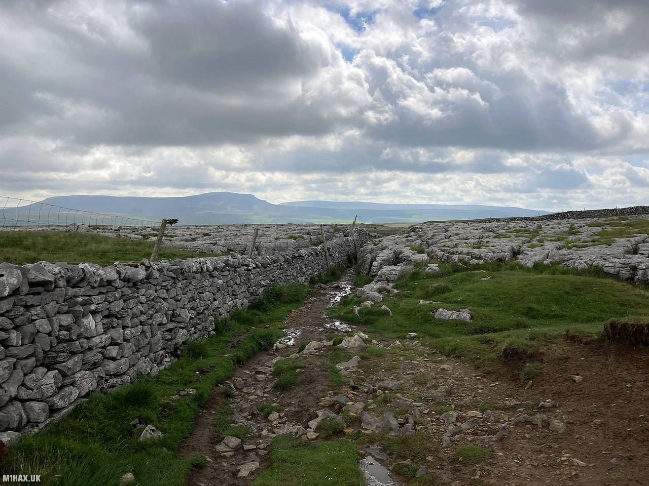
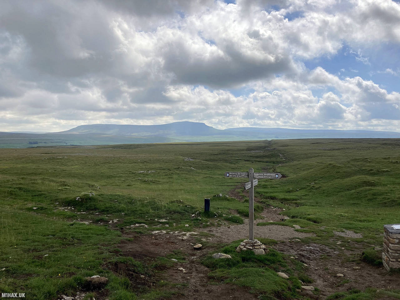
I retraced steps off the summit of Ingleborough before taking a fork in the path to head east towards the village of Horton in Ribblesdale. This was largely a gentle downhill section on a good quality footpath. Unusually for the British mountain environment, the route is well signposted.
After slightly over an hour I passed through Horton in Ribblesdale where there are some opportunities to restock supplies if required. I pushed on towards Brackenbottom, with the paths becoming busier with walkers from the village who were just out to tackle Pen-y-ghent.
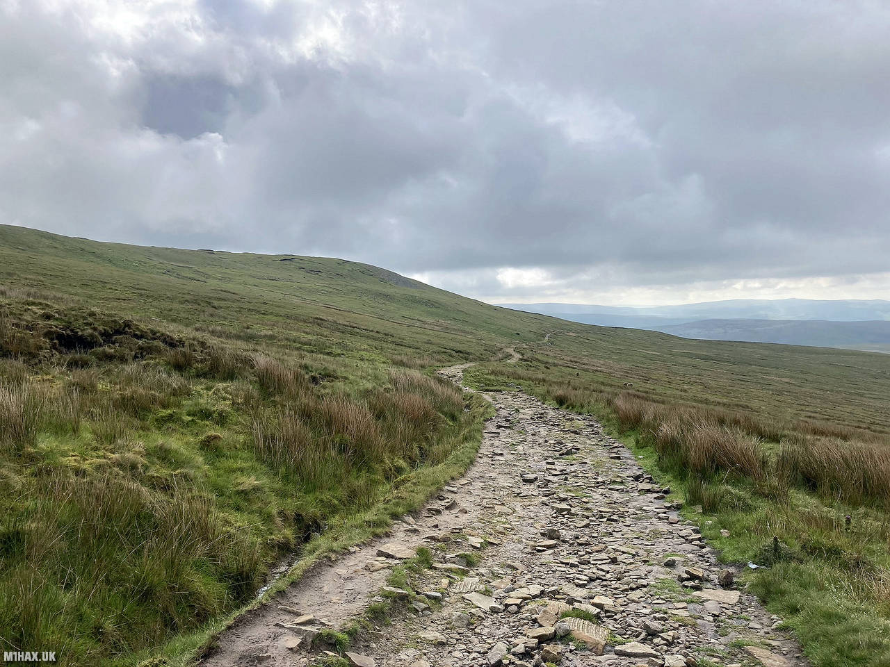
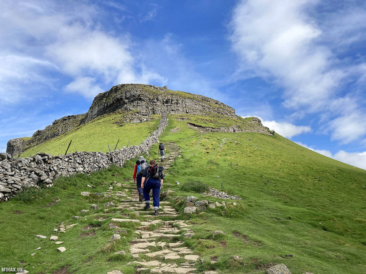
Climbing up towards the summit, the terrain underfoot started to feel more mountainous for a short while, but never challenging.
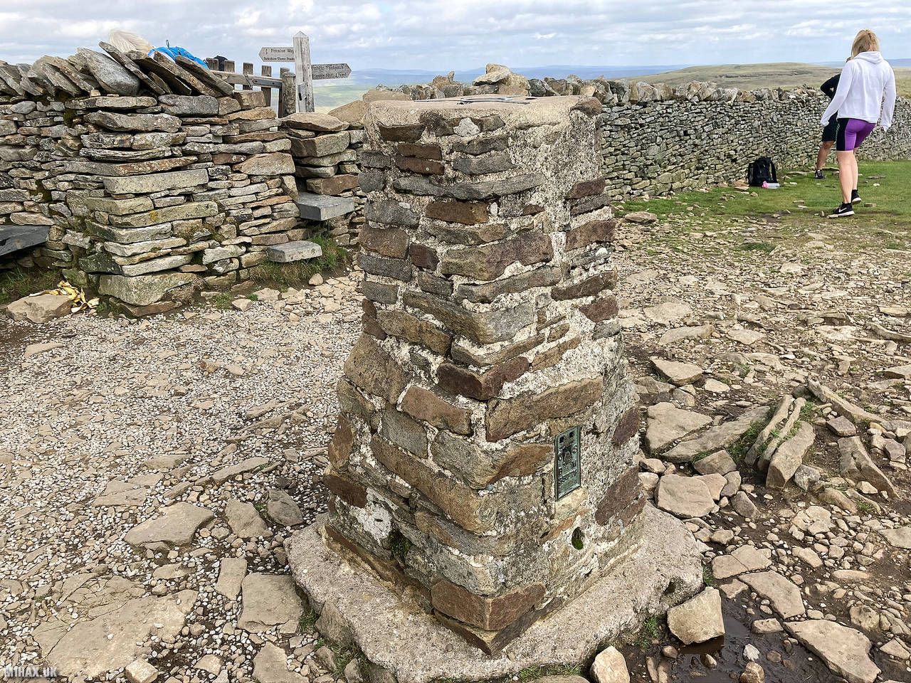
Arriving at a busy summit, I set up my Yaesu radio equipment away from the trig point. Some curious walkers enquired about SOTA as I collected over 20 radio contacts over a half hour rest break.
Although this is the smallest of the three summits on the Yorkshire Three Peaks circuit, this was my favourite hill on this walking route. Approaching from Ingleborough, Pen-y-ghent could be seen on the distant horizon, creeping slowly closer. On the final approach, Pen-y-ghent’s rocky outcrops made for a more interesting landscape than the other hills.
After some food, I packed away my equipment and began the north-westerly descent towards Whernside G/NP-004.
Photos
Below are some photographs taken during my activation of Pen-y-ghent on Saturday 20th June, 2020.


Walking Route for Pen-y-ghent
The interactive map below shows my GPS track taken to the SOTA activation zone for Pen-y-ghent. Note that this summit was activated as part of a multi-summit hike and the map below shows the full route taken on the day. The G/NP-010 summit area is marked on the map with a blue pin icon.
You can download the route shown above as a GPX file suitable for use with most GPS devices. This file is provided for information only, to support your own walk planning and research (it may contain navigation errors, detours and/or safety hazards). The route downloads provided here are governed by the Creative Commons BY-NC-SA 4.0 licence.
Station Log
I logged the following 24 amateur radio contacts operating as M1HAX/P from G/NP-010 Pen-y-ghent on Saturday 20th June, 2020 (all times shown are UTC):
| Time | Callsign | Band | Mode | Notes |
|---|---|---|---|---|
| 10:53 | G4OBK | 2m | FM | Phil, 5/8 |
| 10:53 | 2E0AGB | 2m | FM | Allen, 5/9 |
| 10:56 | G4BLH | 2m | FM | Mike, 5/9 |
| 10:57 | M7AOZ | 2m | FM | Duncan, 5/9 |
| 10:58 | G6XBF | 2m | FM | Walt, 5/9 |
| 11:01 | G7WAW | 2m | FM | David, 5/9 |
| 11:01 | M6AIA | 2m | FM | Andy, 5/9 |
| 11:02 | G6PJZ/P | 2m | FM | Andy, 5/9, S2S G/TW-002 |
| 11:04 | 2E0DIJ | 2m | FM | Dwanye, 5/9 |
| 11:06 | G4IBS | 2m | FM | Geoff, 5/9 |
| 11:08 | G4OOE/P | 2m | FM | Nick, 5/9, S2S G/NP-007 |
| 11:10 | G4MYU | 2m | FM | Art, 5/9 |
| 11:11 | 2E0RWB | 2m | FM | Ron, 5/9 |
| 11:12 | G0VWP | 2m | FM | Terry, 5/9 |
| 11:13 | G0HRT | 2m | FM | Rob, 5/6 |
| 11:13 | G4TML | 2m | FM | Barry, 5/9 |
| 11:14 | G0MHF | 2m | FM | John, 5/8 |
| 11:15 | M0XLT | 2m | FM | Kevin, 5/9 |
| 11:16 | 2E0TDH | 2m | FM | Peter, 4/3 |
| 11:17 | G3MAE | 2m | FM | Tony, 5/9 |
| 11:18 | G3TQQ/P | 2m | FM | Dave, 5/7, S2S G/NP-007 |
| 11:18 | G7EZM | 2m | FM | Phil, 5/9 |
| 11:19 | 2E0MIX | 2m | FM | Derek, 5/6 |
| 11:20 | GB5RSR | 2m | FM | Nonie, 5/9 |
In the notes field I will usually log the other operator’s name and the signal report they provided. In accordance with the Summits on the Air rules, I do not make a log entry where a complete exchange of callsigns and signal reports was unsuccessful.
Additional Information
The following resources may be helpful to walkers, mountaineers and SOTA activators interested in Pen-y-ghent:
- Sotl.as Summit Page for G/NP-010 Pen-y-ghent.
- Hill Bagging UK Summit Page for Pen-y-ghent.
- Google Maps Page for Pen-y-ghent.
- Wikipedia entry for Pen-y-ghent.
If you found this content valuable, why not Buy Me a Coffee?