Periton Hill - G/SC-006 SOTA (2020)

Summits on the Air Activation Report
Activation Date: Saturday 13th June, 2020.
Activator(s): Richard M1HAX.
Summit: Periton Hill, South Central, England.
Summit ID: SOTA reference G/SC-006 (1 point).
Summit Height: 297m elevation, 182m prominence.
Summit Location: Lat./Long. 51.18691, -3.50877. Maidenhead Grid IO81fe.
Distance: 4.7km travelled with 159m of ascent.
Difficulty: SAC Grade T1.(?)
Elapsed Time: 1hr 20m (including operating).
Weather: Feels like 16.7°C, 13 kph ESE wind, 70% humidity.
Radio Equipment: Yaesu FTM100D, MFJ-1714, Zippy 4200mAh 4S LiFePo4.
Callsign Used: M1HAX/P.
Contacts: 6 (2m FM).
Trip Notes
Periton Hill (297m) is a small Marilyn summit, part of the Exmoor national park.
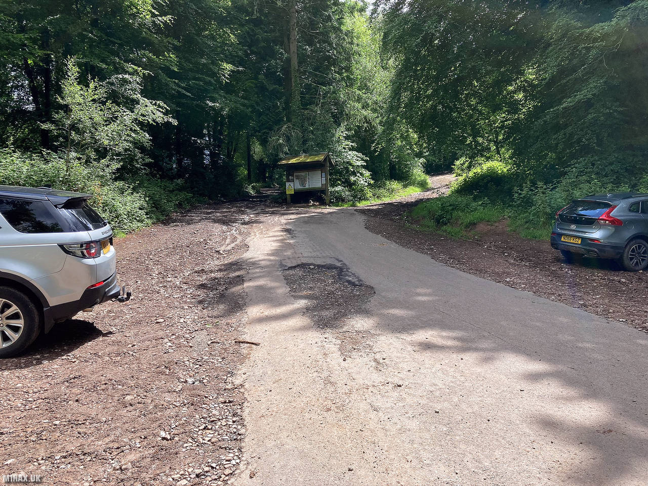
I parked at the end of a short and narrow lane leading out of Minehead.
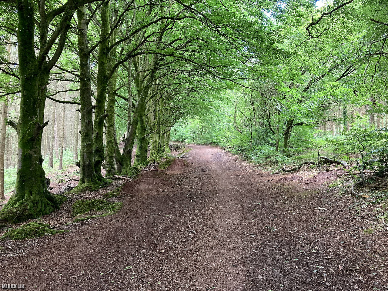
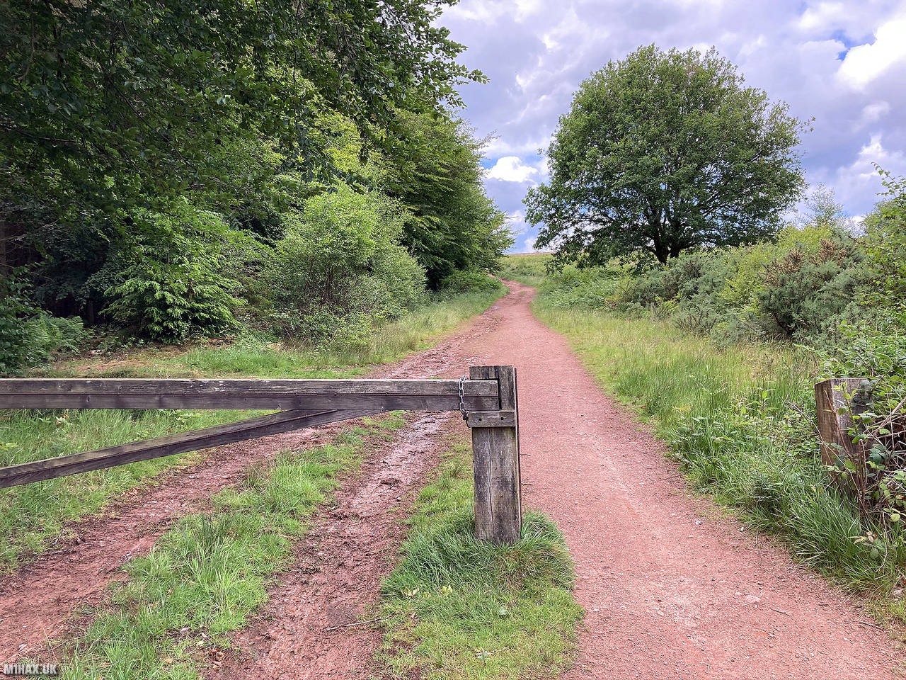
Wide and obvious tracks lead towards the summit, although it was muddy in places especially around the forestry logging area near the car park.
The walking route is quite long for a SOTA 1-point hill but still an easy walk. The section through the forest was very picturesque.
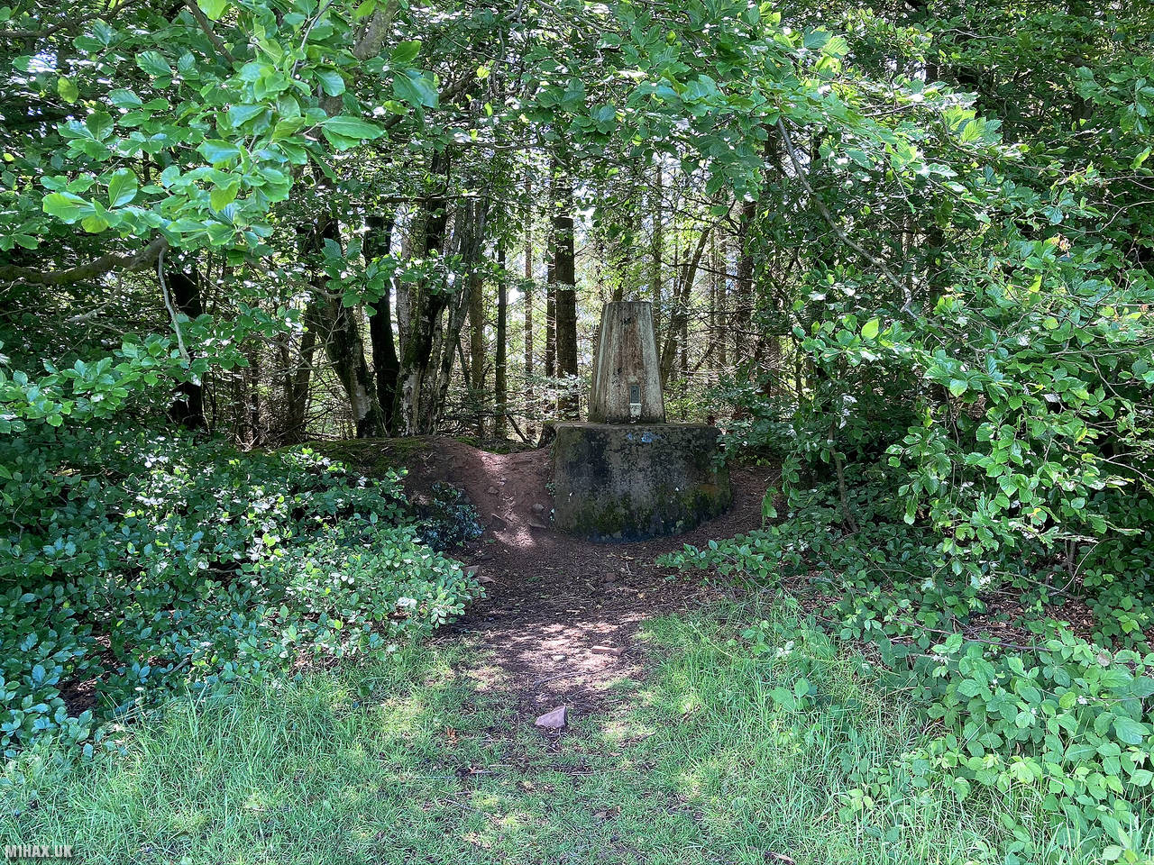
The trig point at the summit is hidden in the woods away from the path and took a little searching for. I operated from here using my Yaesu FTM100D for about ten minutes before retracing my steps back to the car.
Out of the four small hills activated in the region today, this was my favourite and one I would recommend the most.
Photos
Below are some photographs taken during my activation of Periton Hill on Saturday 13th June, 2020.


Walking Route for Periton Hill
The interactive map below shows my GPS track taken to the SOTA activation zone for Periton Hill. The G/SC-006 summit area is marked on the map with a blue pin icon.
You can download the route shown above as a GPX file suitable for use with most GPS devices. This file is provided for information only, to support your own walk planning and research (it may contain navigation errors, detours and/or safety hazards). The route downloads provided here are governed by the Creative Commons BY-NC-SA 4.0 licence.
Station Log
I logged the following 6 amateur radio contacts operating as M1HAX/P from G/SC-006 Periton Hill on Saturday 13th June, 2020 (all times shown are UTC):
| Time | Callsign | Band | Mode | Notes |
|---|---|---|---|---|
| 13:16 | GW4MOZ | 2m | FM | John, 5/9 |
| 13:18 | 2E0MDJ | 2m | FM | Matt, 5/9 |
| 13:19 | G0LGS | 2m | FM | Stewart, 5/3 |
| 13:20 | 2W0FLW | 2m | FM | Derek, 5/9 |
| 13:23 | GW7MMG | 2m | FM | Phil, 4/5 |
| 13:25 | MW0PJJ | 2m | FM | Philip, 4/1 |
In the notes field I will usually log the other operator’s name and the signal report they provided. In accordance with the Summits on the Air rules, I do not make a log entry where a complete exchange of callsigns and signal reports was unsuccessful.
Additional Information
The following resources may be helpful to walkers, mountaineers and SOTA activators interested in Periton Hill:
- Sotl.as Summit Page for G/SC-006 Periton Hill.
- Hill Bagging UK Summit Page for Periton Hill.
- Google Maps Page for Periton Hill.
- Wikipedia entry for Periton Hill.
If you found this content valuable, why not Buy Me a Coffee?