Staple Hill - G/SC-004 SOTA (2020)

Summits on the Air Activation Report
Activation Date: Sunday 7th June, 2020.
Activator(s): Richard M1HAX.
Summit: Staple Hill, South Central, England.
Summit ID: SOTA reference G/SC-004 (1 point).
Summit Height: 315m elevation, 212m prominence.
Summit Location: Lat./Long. 50.94454, -3.08257. Maidenhead Grid IO80lw.
Distance: 2.8km travelled with 43m of ascent.
Difficulty: SAC Grade T1.(?)
Elapsed Time: 55m (including operating).
Weather: Feels like 13.3°C, 15 kph NNW wind, 71% humidity.
Radio Equipment: Yaesu FTM100D, MFJ-1714, Zippy 4200mAh 4S LiFePo4.
Callsign Used: M1HAX/P.
Contacts: 4 (2m FM).
Trip Notes
Staple Hill is the highest point in the Blackdown Hills, located in Somerset, England. It is classified as a Marilyn and a Hardy. The hill is a part of Forestry England woodlands and is one of the points on the Staple Fitzpaine Herepath.
This hill was one of two 1-point hills which I completed whilst on the way to G/DC-001 High Willhays, the other being G/DC-005 Christ Cross.
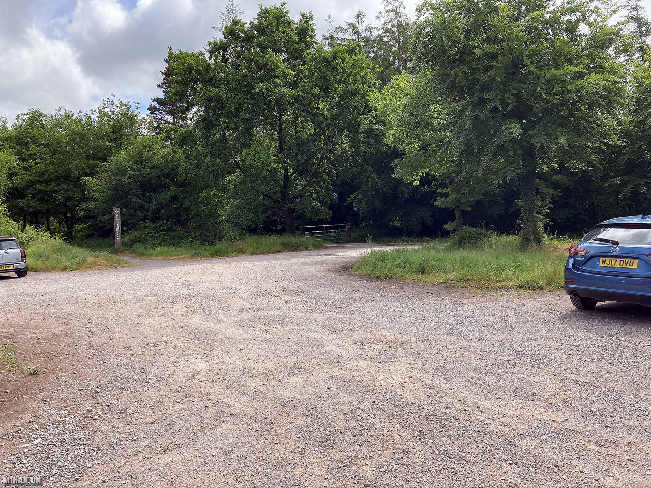
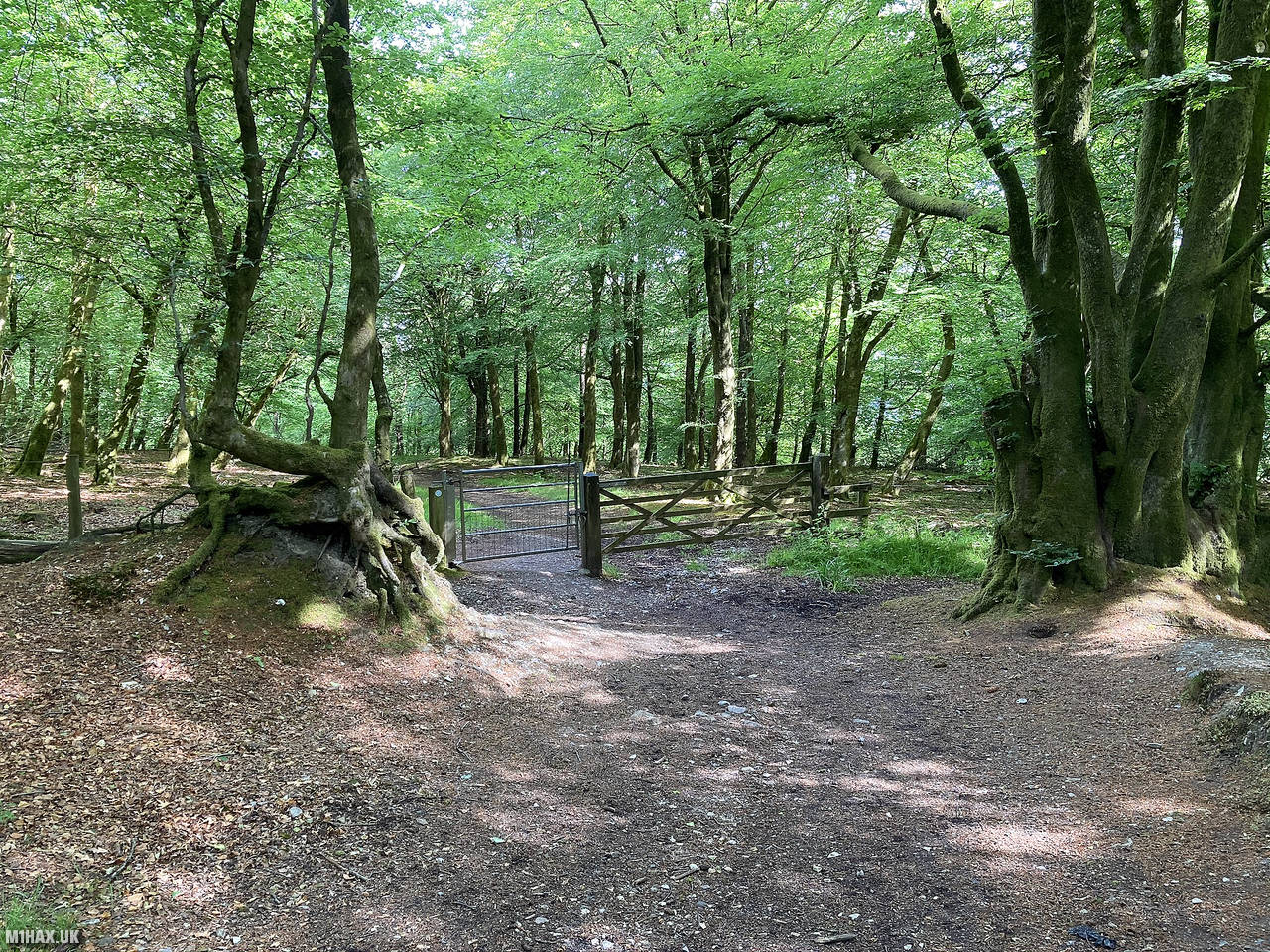
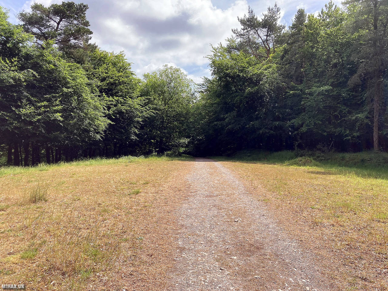
A popular local walking spot, there is a gravel car park and good footpaths around the woodland surrounding the summit.
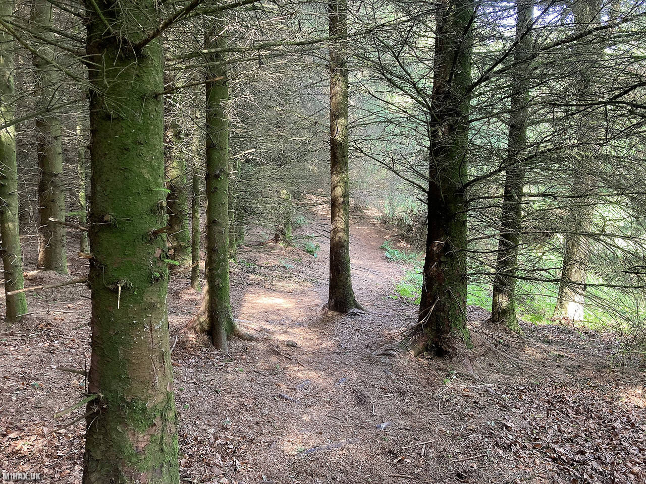
From the car park I followed one of two tracks towards the summit. The path on the return leg was better than the trail I took through the woods on the ascent, but both were easy.
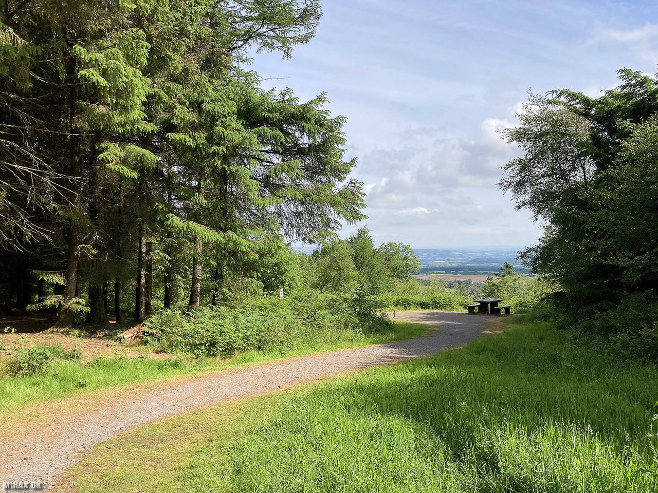
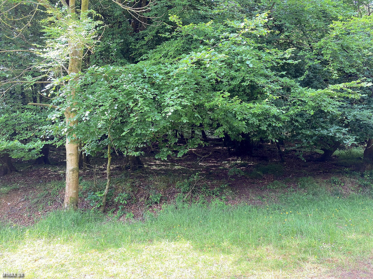
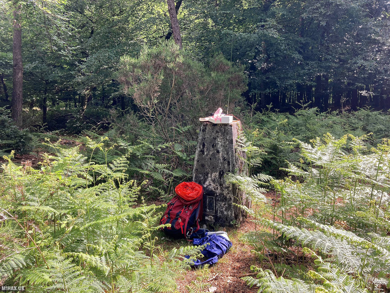
Near the summit there is a clearing, and the trig point is hidden off to the side in the trees.
I made four local contacts on the 2-metre band in about ten minutes before returning to the car.
Photos
Below are some photographs taken during my activation of Staple Hill on Sunday 7th June, 2020.


Walking Route for Staple Hill
The interactive map below shows my GPS track taken to the SOTA activation zone for Staple Hill. The G/SC-004 summit area is marked on the map with a blue pin icon.
You can download the route shown above as a GPX file suitable for use with most GPS devices. This file is provided for information only, to support your own walk planning and research (it may contain navigation errors, detours and/or safety hazards). The route downloads provided here are governed by the Creative Commons BY-NC-SA 4.0 licence.
Station Log
I logged the following 4 amateur radio contacts operating as M1HAX/P from G/SC-004 Staple Hill on Sunday 7th June, 2020 (all times shown are UTC):
| Time | Callsign | Band | Mode | Notes |
|---|---|---|---|---|
| 09:07 | G0FGE | 2m | FM | Baz, 5/7 |
| 09:09 | MW0WTK | 2m | FM | Phil, 5/9 |
| 09:14 | G0SDD | 2m | FM | Chris, 5/9 |
| 09:18 | M1EIW | 2m | FM | Paddy, 5/2 |
In the notes field I will usually log the other operator’s name and the signal report they provided. In accordance with the Summits on the Air rules, I do not make a log entry where a complete exchange of callsigns and signal reports was unsuccessful.
Additional Information
The following resources may be helpful to walkers, mountaineers and SOTA activators interested in Staple Hill:
- Sotl.as Summit Page for G/SC-004 Staple Hill.
- Hill Bagging UK Summit Page for Staple Hill.
- Google Maps Page for Staple Hill.
- Wikipedia entry for Staple Hill.
If you found this content valuable, why not Buy Me a Coffee?