Whernside - G/NP-004 SOTA (2020)

Summits on the Air Activation Report
Activation Date: Saturday 20th June, 2020.
Activator(s): Richard M1HAX.
Summit: Whernside, Northern Pennines, England.
Summit ID: SOTA reference G/NP-004 (6 points).
Summit Height: 736m elevation, 408m prominence.
Summit Location: Lat./Long. 54.22765, -2.40339. Maidenhead Grid IO84tf.
Also Activated: G/NP-005, G/NP-010.
Distance: 40.4km travelled with 1609m of ascent.
Difficulty: SAC Grade T2.(?)
Elapsed Time: 10hr 50m (incl. operating and other summit(s) on the same hike).
Weather: Feels like 12.8°C, 9 kph SSW wind, 91% humidity.
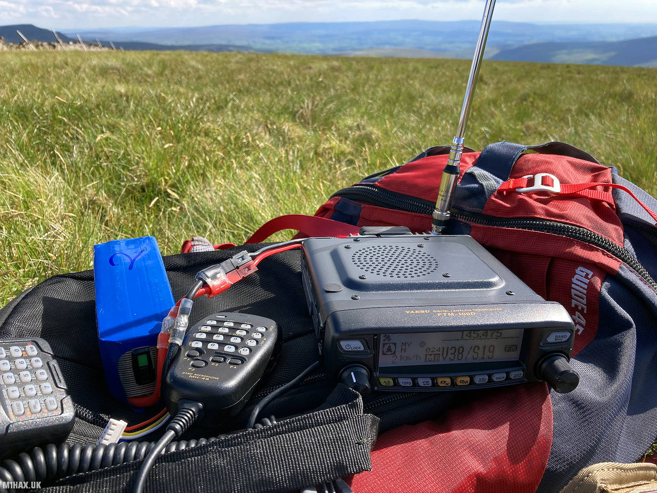
Radio Equipment: Yaesu FTM100D, MFJ-1714, Zippy 4200mAh 4S LiFePo4.
Callsign Used: M1HAX/P.
Contacts: 16 (2m FM).
Trip Notes
The Yorkshire Three Peaks hiking route is a circular trek covering approximately 40 kilometres. The route includes ascending three of the highest peaks in Yorkshire, England, namely Pen-y-ghent (694 meters), Whernside (736 meters), and Ingleborough (723 meters).
Whilst this popular trek is challenging, and often undertaken in a guided group, experienced hill walkers will not struggle with the logistics or technical features of the route. It typically takes between 9 and 12 hours to complete, depending on fitness levels and weather conditions. I undertook the route solo, activating all three mountains for the Summits on the Air amateur radio scheme.
Whernside was the third and final summit I would tackle on this trip, having successfully activated G/NP-005 Ingleborough and Pen-y-ghent G/NP-010 earlier in the day. The description for this hill starts as I descended from the summit of Pen-y-ghent.
I headed north for about 800 metres to descend off of Pen-y-ghent before the path turned west towards Whitber Hill. This leg of the Yorkshire Three Peaks would be the longest, with Whernside visible on the horizon some 17km of walking away.
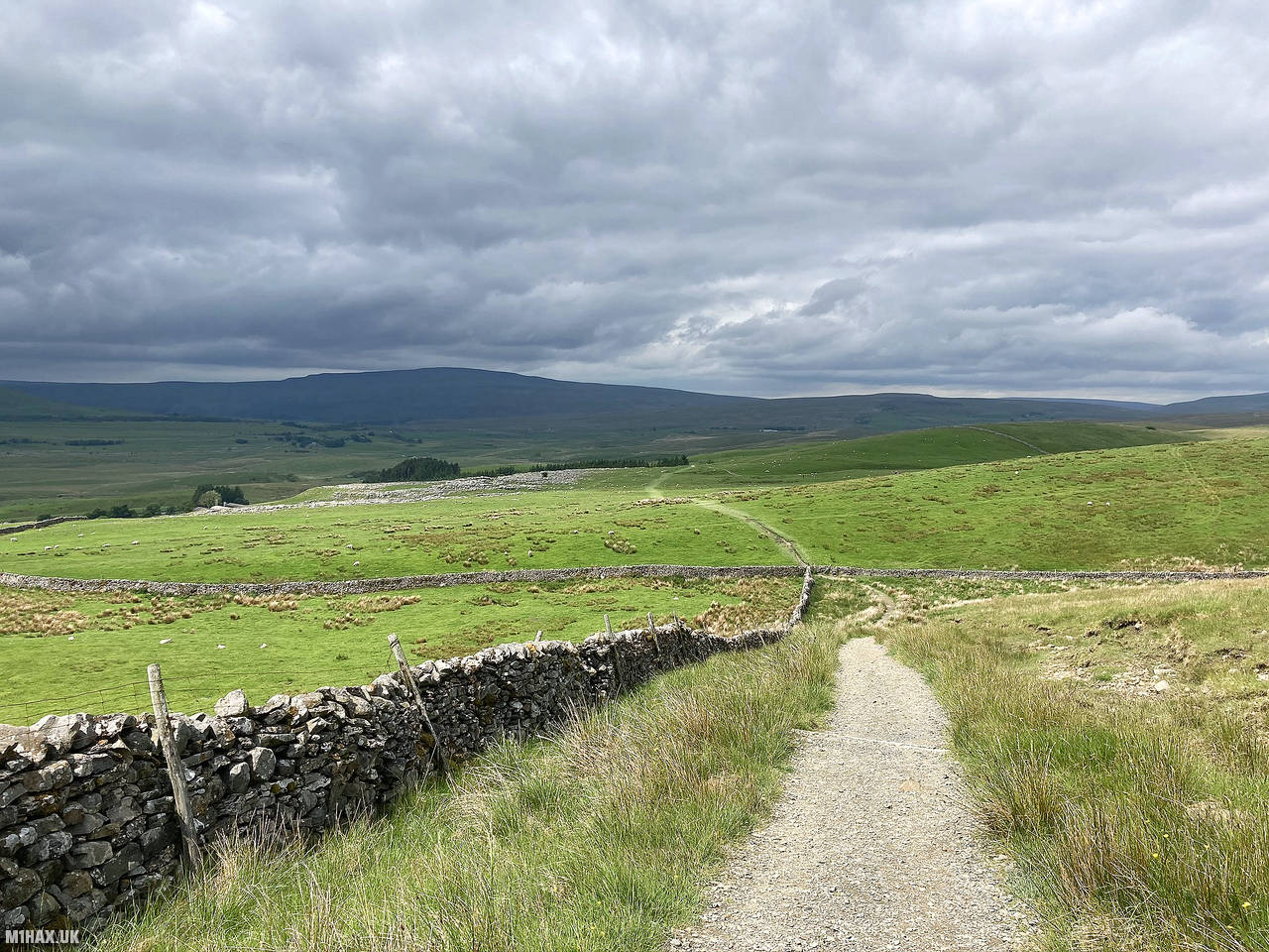
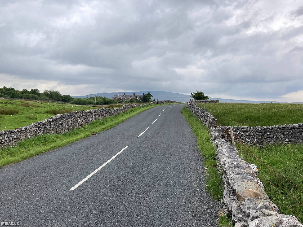
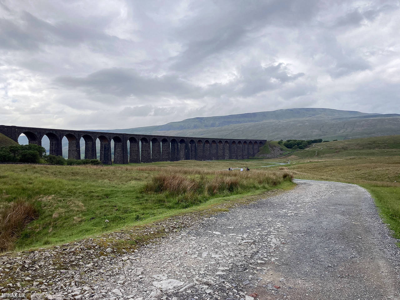
Very well defined and maintained footpaths took me about 9km off of the hillside and along the Gauber Road for a short distance. Coming in to Ribblehead I was greeted by impressive views of the Ribblehead Viaduct.
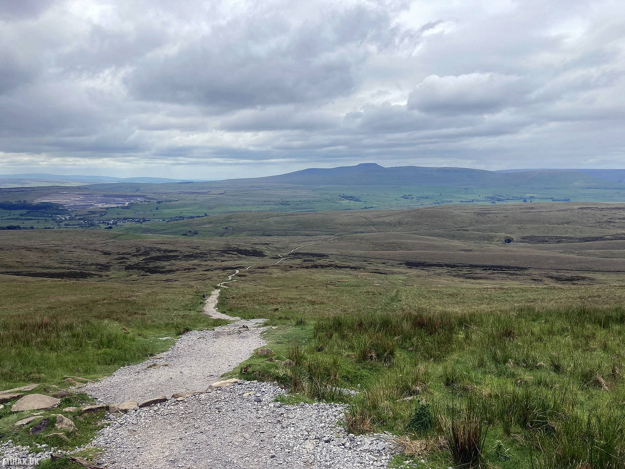
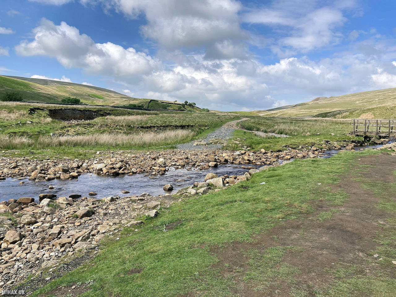
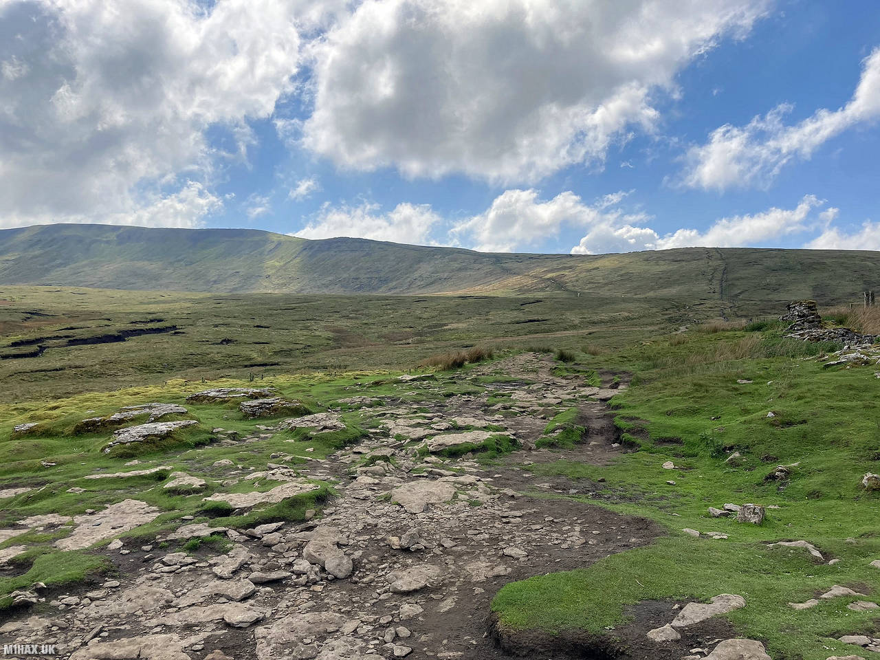
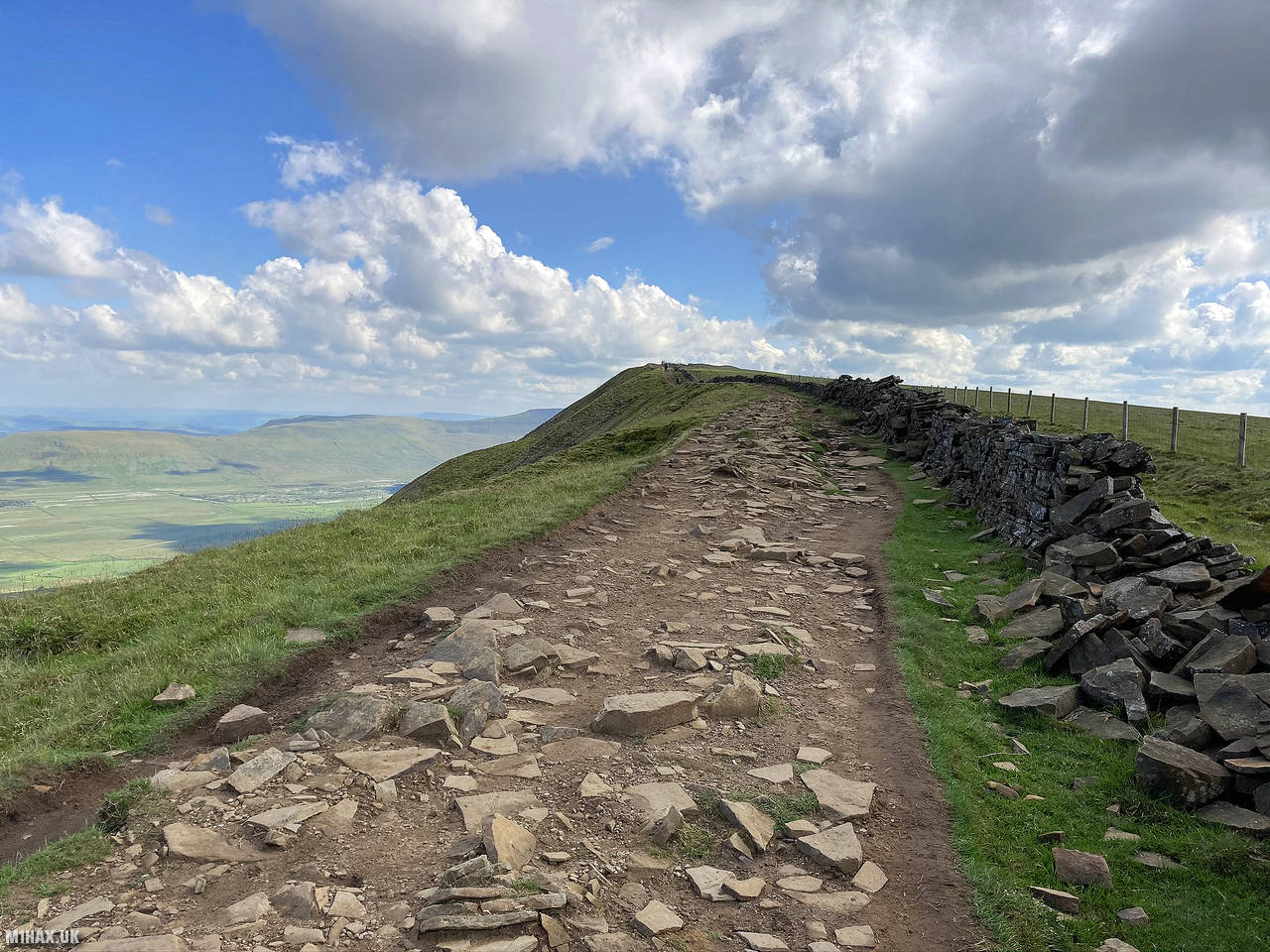
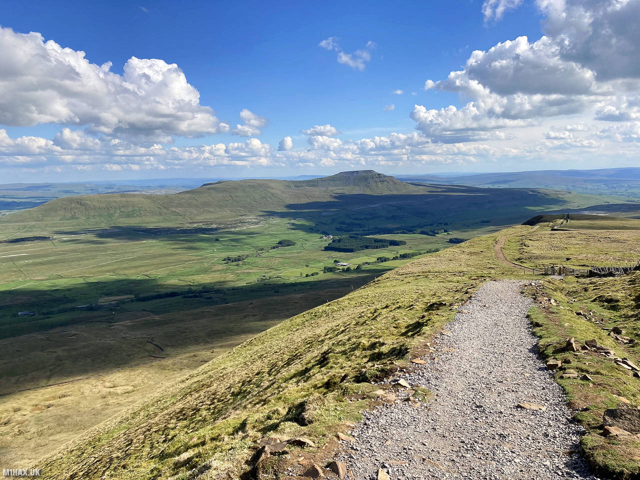
Leaving the road near the viaduct, the route heads north following the railway line for a while. The path then curves around the contours of Whernside towards the summit. The busy foot path on the climb was narrow in places making it occasionally tricky to pass other walkers.
The easy ascent here is only about 350 metres but will test leg muscles having already walked some 35km.
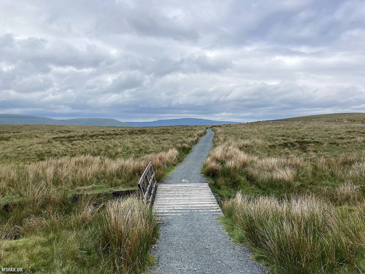
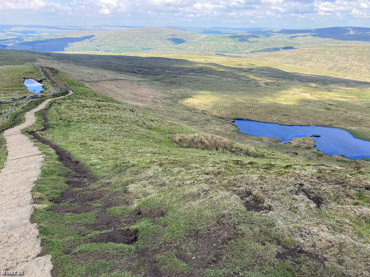
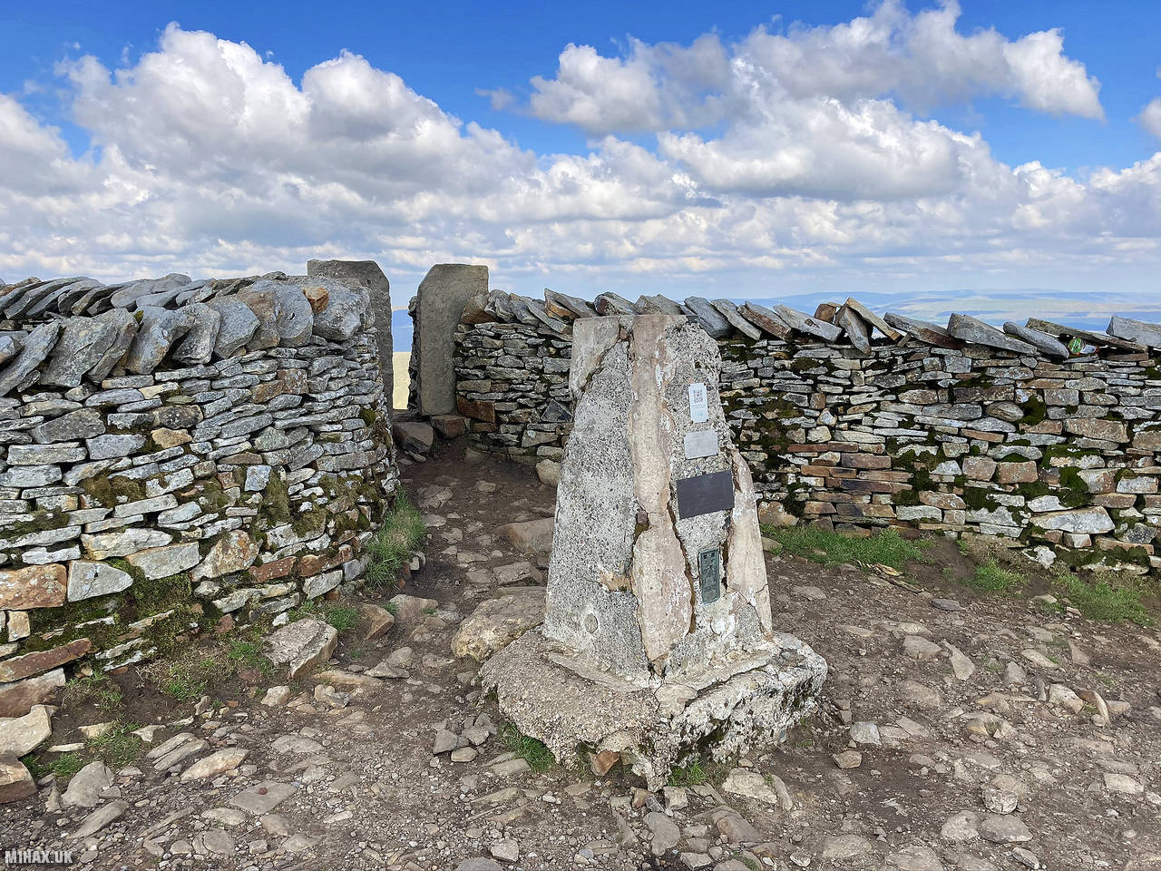
Setting up my third and final Summits on the Air radio station at the grassy summit of Whernside, I made contacts for about twenty minutes before pressing on to end of the circuit. An obvious and easy path descends south off the mountain and towards the Hill Inn and layby where I had parked.
Including over an hour of stopping at summits for radio operating, I completed the 40km circuit in 10 hours and 50 minutes. This was a really enjoyable long-distance walk which bags 16 SOTA points along the way. It’s definitely worth doing and one which I hope to repeat in the future.
Photos
Below are some photographs taken during my activation of Whernside on Saturday 20th June, 2020.


Walking Route for Whernside
The interactive map below shows my GPS track taken to the SOTA activation zone for Whernside. Note that this summit was activated as part of a multi-summit hike and the map below shows the full route taken on the day. The G/NP-004 summit area is marked on the map with a blue pin icon.
You can download the route shown above as a GPX file suitable for use with most GPS devices. This file is provided for information only, to support your own walk planning and research (it may contain navigation errors, detours and/or safety hazards). The route downloads provided here are governed by the Creative Commons BY-NC-SA 4.0 licence.
Station Log
I logged the following 16 amateur radio contacts operating as M1HAX/P from G/NP-004 Whernside on Saturday 20th June, 2020 (all times shown are UTC):
| Time | Callsign | Band | Mode | Notes |
|---|---|---|---|---|
| 15:50 | M6KHF | 2m | FM | Richard, 5/3 |
| 15:53 | G4OBK | 2m | FM | Phil, 5/7 |
| 15:55 | G6LKB | 2m | FM | David, 5/9 |
| 15:56 | G4BLH | 2m | FM | Mike, 5/9 |
| 15:56 | G3MAE | 2m | FM | Tony, 5/7 |
| 15:57 | G0VWP | 2m | FM | Terry, 5/9 |
| 15:58 | G6XBF | 2m | FM | Walt, 5/5 |
| 15:58 | 2E0AGB | 2m | FM | Allen, 5/9 |
| 15:59 | M7AOZ | 2m | FM | Duncan, 5/6 |
| 16:01 | G4JNN | 2m | FM | Paul, 5/9 |
| 16:01 | G0HRT | 2m | FM | Rob, 5/4 |
| 16:05 | 2E0WSN | 2m | FM | David, 5/9 |
| 16:06 | G6HMN | 2m | FM | Ray, 5/9 |
| 16:07 | M0HZP | 2m | FM | David, 5/9 |
| 16:08 | G5ZX/M | 2m | FM | Steve, 5/5 |
| 16:10 | 2E0WWV | 2m | FM | Scott, 5/7 |
In the notes field I will usually log the other operator’s name and the signal report they provided. In accordance with the Summits on the Air rules, I do not make a log entry where a complete exchange of callsigns and signal reports was unsuccessful.
Additional Information
The following resources may be helpful to walkers, mountaineers and SOTA activators interested in Whernside:
- Sotl.as Summit Page for G/NP-004 Whernside.
- Hill Bagging UK Summit Page for Whernside.
- Google Maps Page for Whernside.
- Wikipedia entry for Whernside.
If you found this content valuable, why not Buy Me a Coffee?