Wills Neck - G/SC-002 SOTA (2020)

Summits on the Air Activation Report
Activation Date: Saturday 13th June, 2020.
Activator(s): Richard M1HAX.
Summit: Wills Neck, South Central, England.
Summit ID: SOTA reference G/SC-002 (1 point).
Summit Height: 386m elevation, 269m prominence.
Summit Location: Lat./Long. 51.10958, -3.19371. Maidenhead Grid IO81jc.
Distance: 3.3km travelled with 199m of ascent.
Difficulty: SAC Grade T1.(?)
Elapsed Time: 1hr 20m (including operating).
Weather: Feels like 13.9°C, 26 kph SE wind, 78% humidity.
Radio Equipment: Yaesu FTM100D, MFJ-1714, Zippy 4200mAh 4S LiFePo4.
Callsign Used: M1HAX/P.
Contacts: 13 (2m FM).
Trip Notes
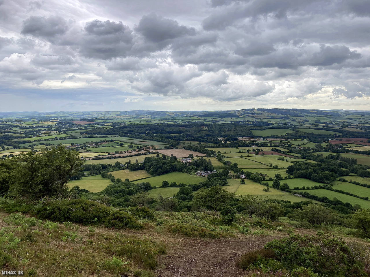
Wills Neck, located on the Quantock Hills, is the highest summit in the area and one of the tallest peaks in Somerset, England. Despite its modest elevation of 384 meters, it qualifies as one of England’s Marilyns. The summit is situated approximately 13 km to the northwest of the historic market town of Taunton.
I walked a circular route around Wills Neck summit which started from Triscombe village, a short distance to the north west. The road access leading up to this small parking area was not very good.
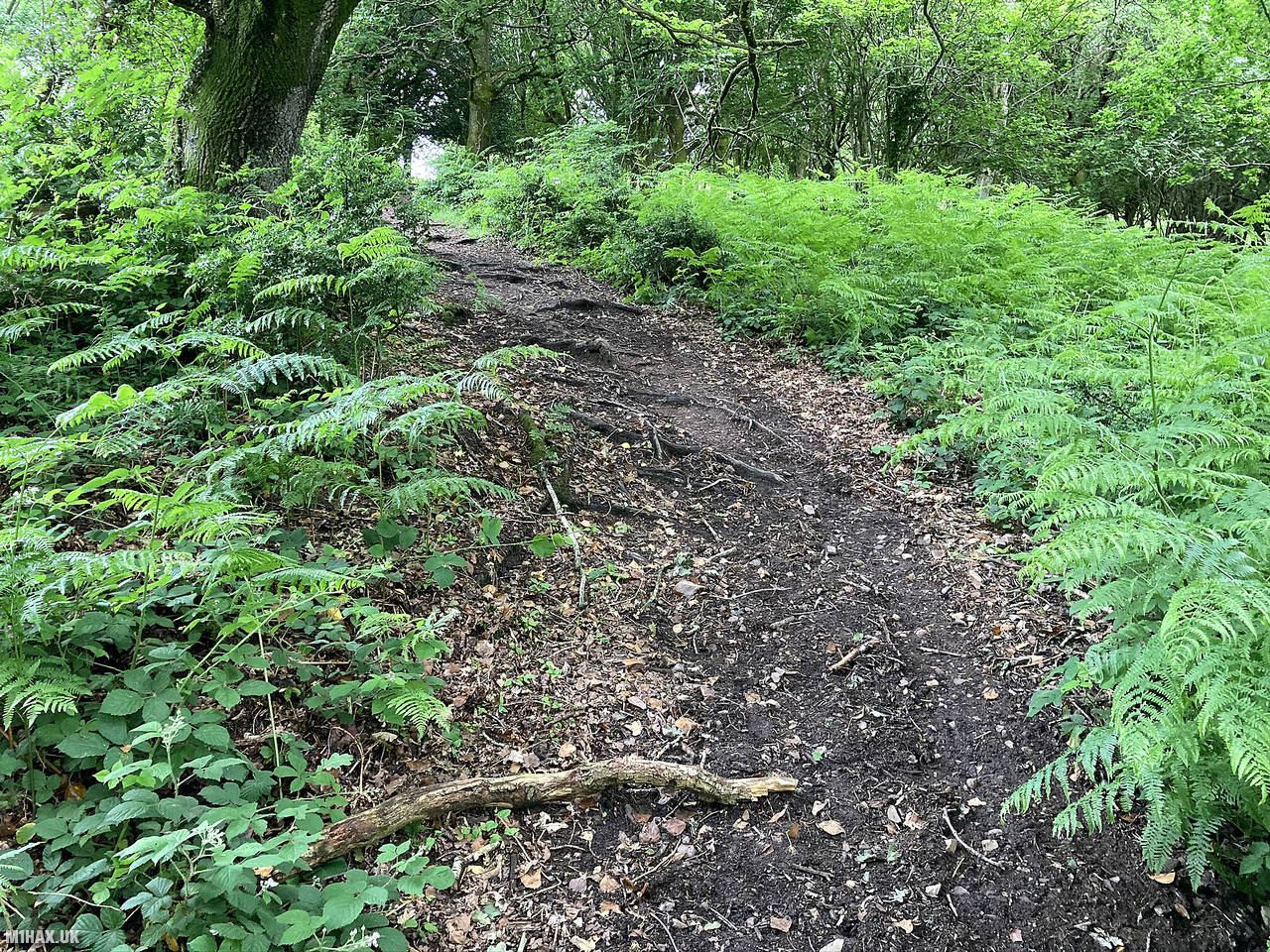
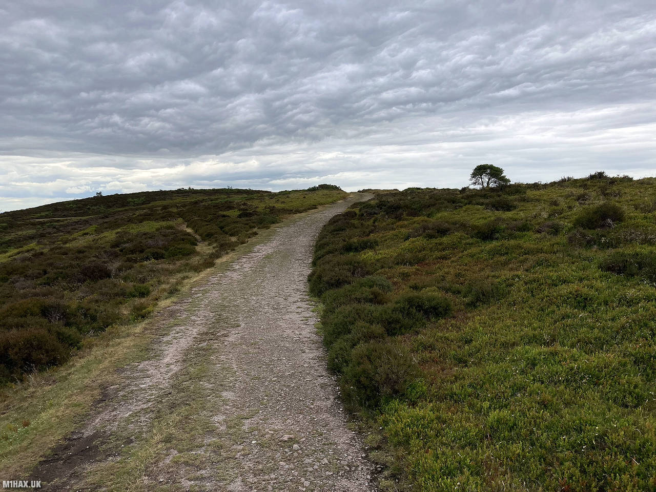
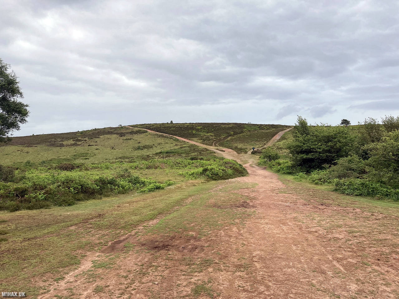
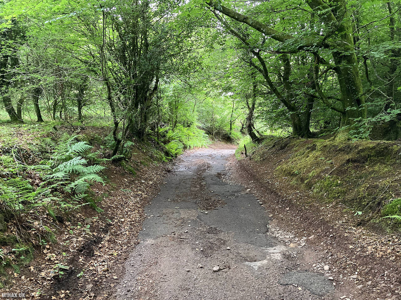
A network of rocky and muddy paths wind their way around a disused quarry towards the summit. After an easy walk through some woods, I arrived at the trig point on the summit.
I operated from the summit for about 15 minutes, making a number of VHF contacts in England and Wales. It began to rain while on the summit, so I continued my circuit back down the other side of the quarry lake towards the car park.
Due to the road access issues around the parking area, I would try approaching the hill from another direction next time. The Macmillan Way West path to the south east of the summit is a slightly longer route but potentially a better option.
Photos
Below are some photographs taken during my activation of Wills Neck on Saturday 13th June, 2020.


Walking Route for Wills Neck
The interactive map below shows my GPS track taken to the SOTA activation zone for Wills Neck. The G/SC-002 summit area is marked on the map with a blue pin icon.
You can download the route shown above as a GPX file suitable for use with most GPS devices. This file is provided for information only, to support your own walk planning and research (it may contain navigation errors, detours and/or safety hazards). The route downloads provided here are governed by the Creative Commons BY-NC-SA 4.0 licence.
Station Log
I logged the following 13 amateur radio contacts operating as M1HAX/P from G/SC-002 Wills Neck on Saturday 13th June, 2020 (all times shown are UTC):
| Time | Callsign | Band | Mode | Notes |
|---|---|---|---|---|
| 15:04 | 2W0FLW | 2m | FM | Derek, 5/9 |
| 15:06 | MW0AXA | 2m | FM | Wayne, 5/9 |
| 15:07 | GW4MOZ | 2m | FM | John, 5/9 |
| 15:08 | 2E0MDJ | 2m | FM | Matt, 5/5 |
| 15:08 | G0LGS | 2m | FM | Stewart, 5/7 |
| 15:09 | MW0PJJ | 2m | FM | Philip, 5/4 |
| 15:10 | 2E1KJB | 2m | FM | Kevin, 5/5 |
| 15:11 | 2W0RRG | 2m | FM | Robert, 5/9 |
| 15:13 | G0GRI | 2m | FM | Ian, 5/9 |
| 15:13 | G0CDB | 2m | FM | John, 5/7 |
| 15:14 | GW0WVL | 2m | FM | Marc, 5/9 |
| 15:16 | GW7MMG | 2m | FM | Phil, 5/7 |
| 15:19 | M3HNL | 2m | FM | Jim, 5/7 |
In the notes field I will usually log the other operator’s name and the signal report they provided. In accordance with the Summits on the Air rules, I do not make a log entry where a complete exchange of callsigns and signal reports was unsuccessful.
Additional Information
The following resources may be helpful to walkers, mountaineers and SOTA activators interested in Wills Neck:
- Sotl.as Summit Page for G/SC-002 Wills Neck.
- Hill Bagging UK Summit Page for Wills Neck.
- Google Maps Page for Wills Neck.
- Wikipedia entry for Wills Neck.
If you found this content valuable, why not Buy Me a Coffee?