Arenig Fach - GW/NW-027 SOTA (2020)

Summits on the Air Activation Report
Activation Date: Sunday 19th July, 2020.
Activator(s): Richard M1HAX.
Summit: Arenig Fach, North Wales, Wales.
Summit ID: SOTA reference GW/NW-027 (4 points).
Summit Height: 689m elevation, 294m prominence.
Summit Location: Lat./Long. 52.95870, -3.75769. Maidenhead Grid IO82cx.
Distance: 7.1km travelled with 400m of ascent.
Difficulty: SAC Grade T1.(?)
Elapsed Time: 2hr 30m (including operating).
Weather: Feels like 15.0°C, 9 kph N wind, 52% humidity.
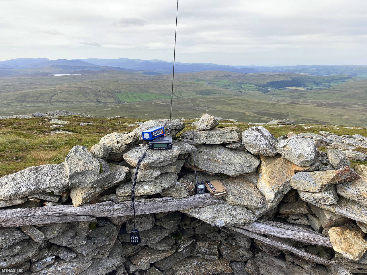
Radio Equipment: Yaesu FTM100D, MFJ-1714, Zippy 4200mAh 4S LiFePo4.
Callsign Used: MW1HAX/P.
Contacts: 7 (2m FM).
Trip Notes
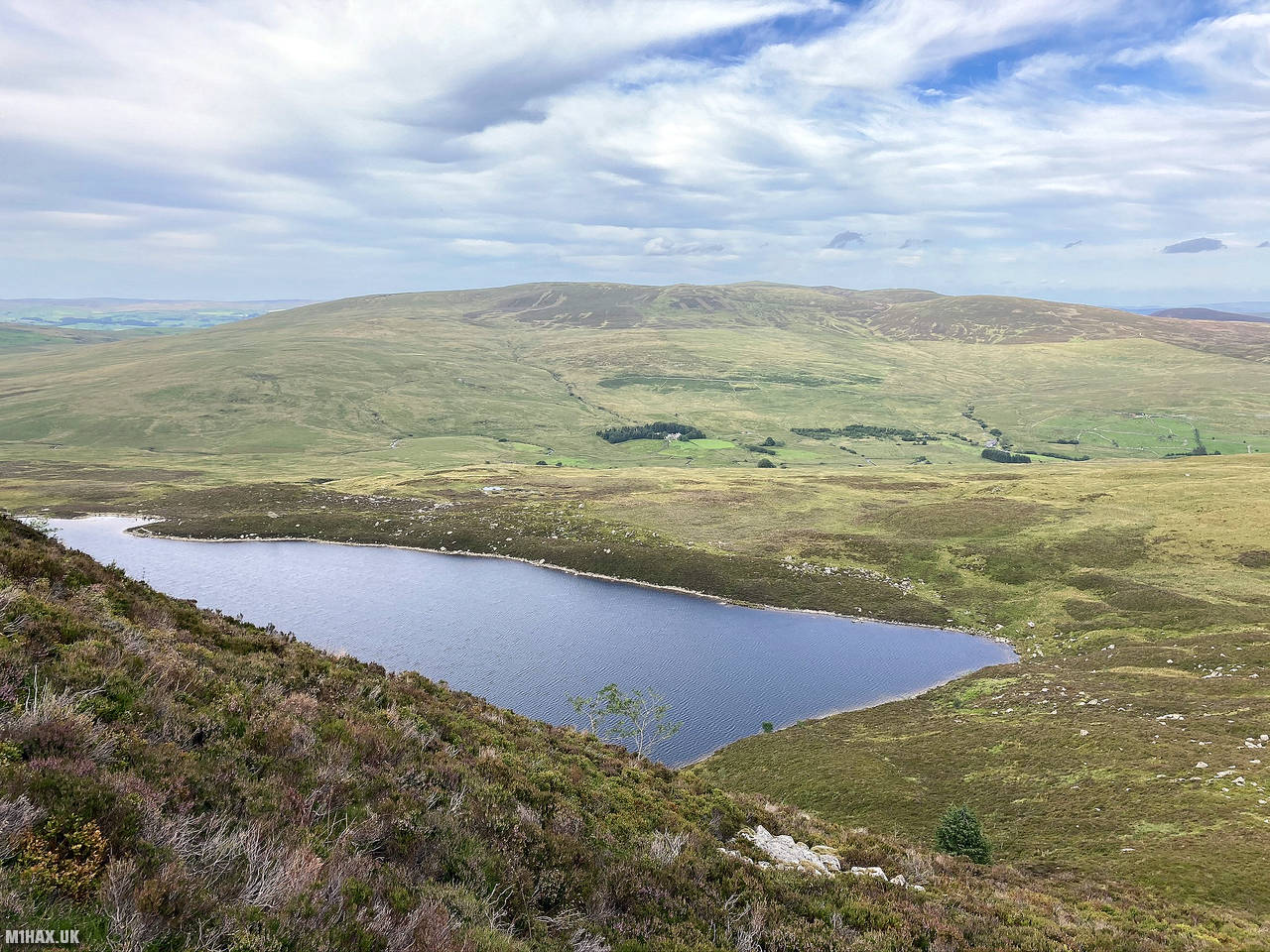
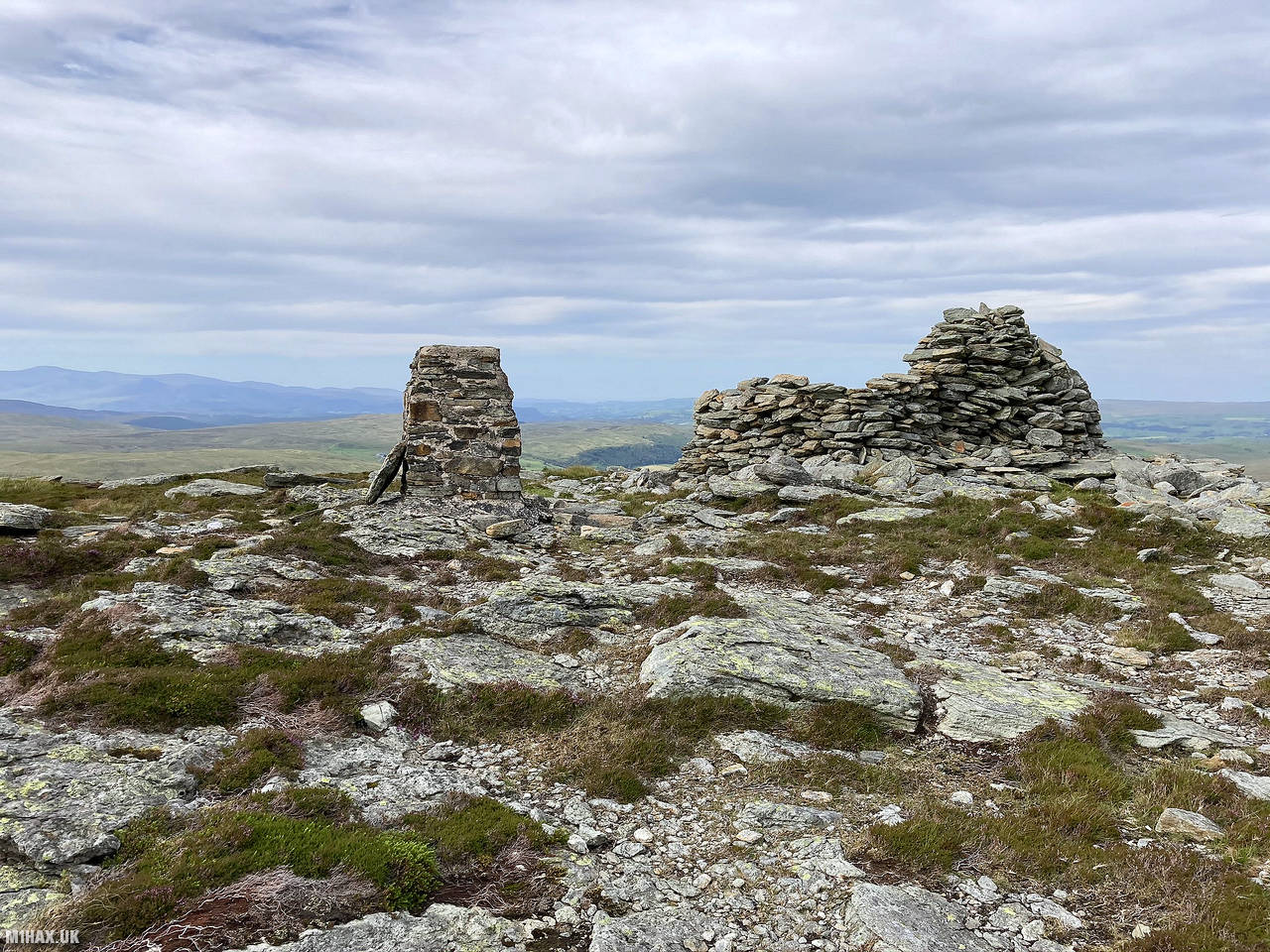
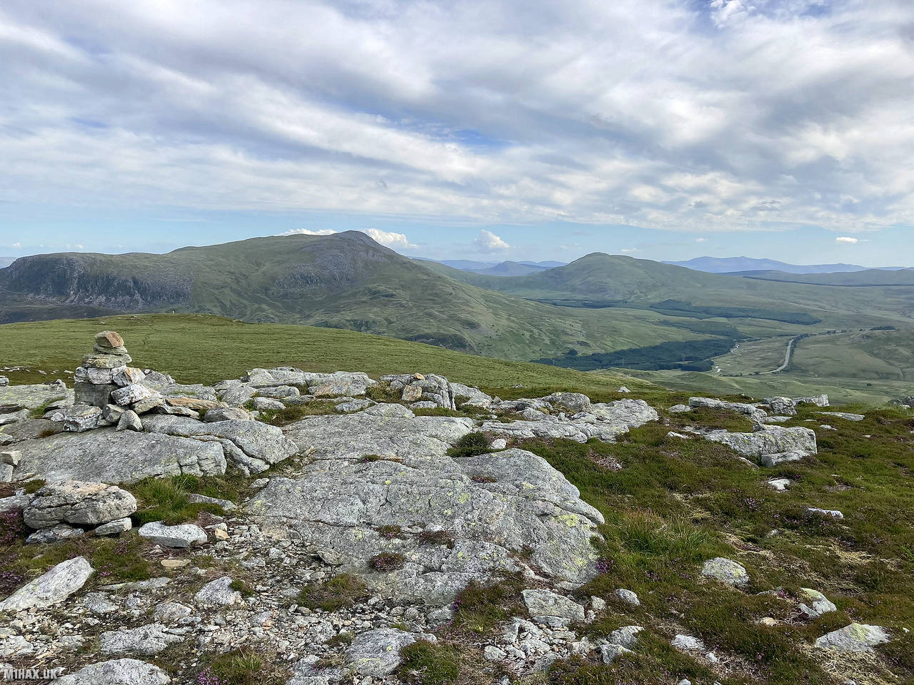
Arenig Fach, located in southern Snowdonia, Wales, is a mountain within the Arenig range. It offers scenic views and is situated near Llyn Celyn. The summit, also known as Carnedd Bachgen, features a trig point and a significant shelter cairn, and is the highest point on the northern end of a wide plateau.
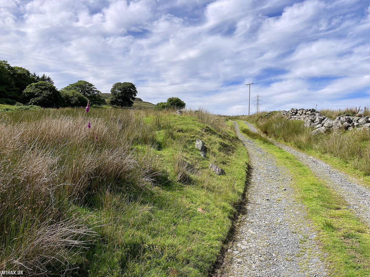
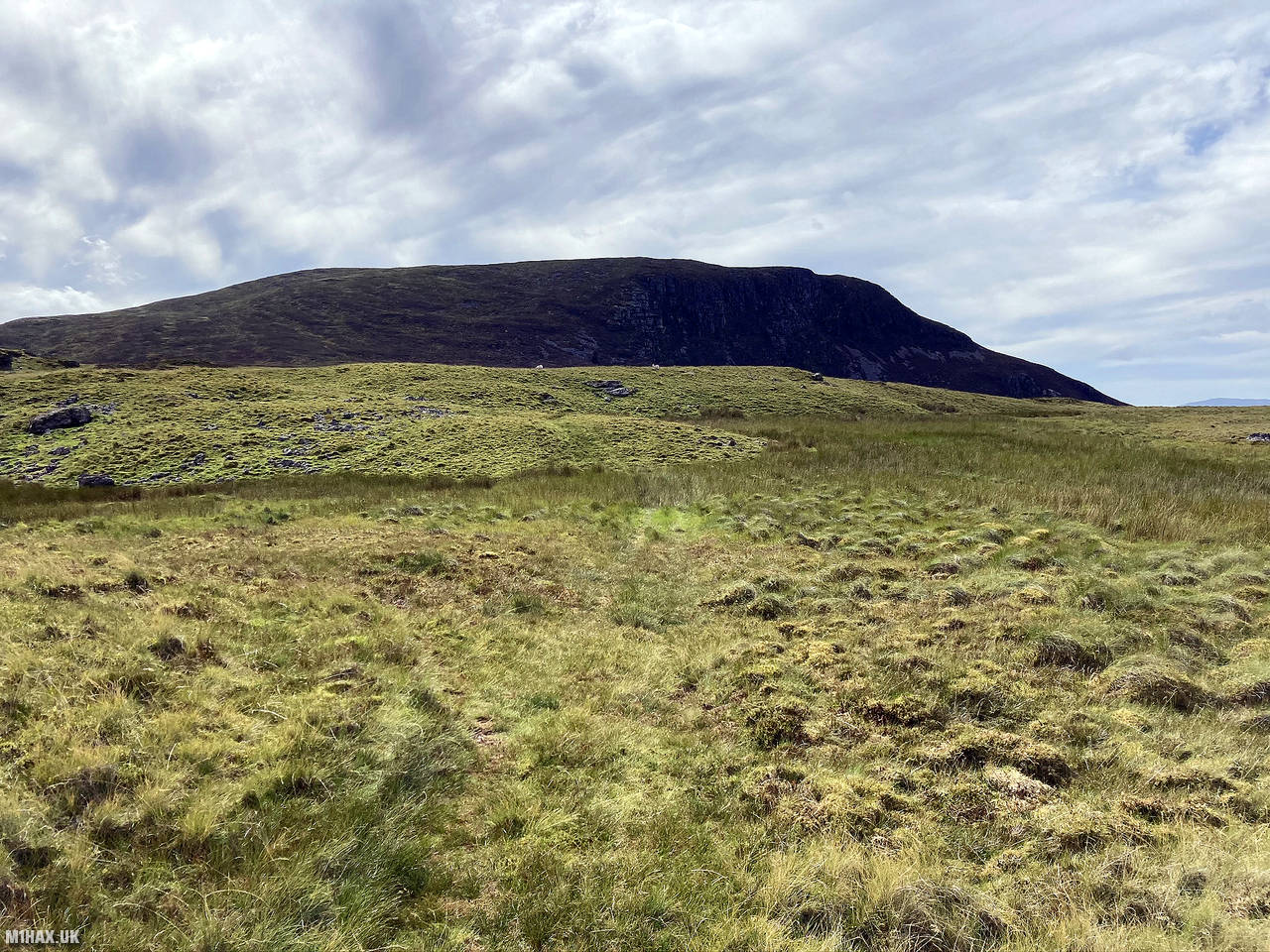
I parked at Cae Garnedd and followed a farm road on to the hillside. After about a kilometre the track dissipates in to a quad bike trail. I continued on towards the eastern cliffs of Arenig Fach. Here the path becomes less defined and wading through heather towards the summit is required.
The rocky summit has an old looking trig point and a good stone shelter. I set up my Yaesu FTM100D within the shelter and enjoyed excellent views across Snowdonia while I collected seven radio contacts for SOTA.
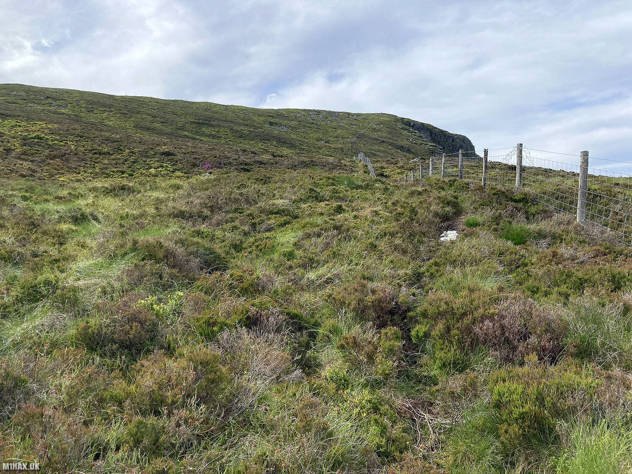
After concluding my radio operations, I packed up and headed back down along the fence line and followed the track back to the car. Arenig Fach was a very pleasant hill and well worth a visit.
Photos
Below are some photographs taken during my activation of Arenig Fach on Sunday 19th July, 2020.


Walking Route for Arenig Fach
The interactive map below shows my GPS track taken to the SOTA activation zone for Arenig Fach. The GW/NW-027 summit area is marked on the map with a blue pin icon.
You can download the route shown above as a GPX file suitable for use with most GPS devices. This file is provided for information only, to support your own walk planning and research (it may contain navigation errors, detours and/or safety hazards). The route downloads provided here are governed by the Creative Commons BY-NC-SA 4.0 licence.
Station Log
I logged the following 7 amateur radio contacts operating as MW1HAX/P from GW/NW-027 Arenig Fach on Sunday 19th July, 2020 (all times shown are UTC):
| Time | Callsign | Band | Mode | Notes |
|---|---|---|---|---|
| 16:05 | GW4VPX | 2m | FM | Allan, 5/9 |
| 16:07 | MW0OFA | 2m | FM | Frank, 5/5 |
| 16:12 | MW1EPI | 2m | FM | Dylan, 5/7 |
| 16:15 | M0SGB | 2m | FM | Steven, 5/2 |
| 16:18 | G0DUQ | 2m | FM | Rob, 5/7 |
| 16:19 | 2E0PXW | 2m | FM | Barry, 5/7 |
| 16:21 | 2E0DIJ | 2m | FM | Duane, 4/1 |
In the notes field I will usually log the other operator’s name and the signal report they provided. In accordance with the Summits on the Air rules, I do not make a log entry where a complete exchange of callsigns and signal reports was unsuccessful.
Additional Information
The following resources may be helpful to walkers, mountaineers and SOTA activators interested in Arenig Fach:
- Sotl.as Summit Page for GW/NW-027 Arenig Fach.
- Hill Bagging UK Summit Page for Arenig Fach.
- Google Maps Page for Arenig Fach.
- Wikipedia entry for Arenig Fach.
If you found this content valuable, why not Buy Me a Coffee?