Arenig Fawr - GW/NW-011 SOTA (2020)

Summits on the Air Activation Report
Activation Date: Sunday 19th July, 2020.
Activator(s): Richard M1HAX.
Summit: Arenig Fawr, North Wales, Wales.
Summit ID: SOTA reference GW/NW-011 (8 points).
Summit Height: 854m elevation, 479m prominence.
Summit Location: Lat./Long. 52.91712, -3.74594. Maidenhead Grid IO82dw.
Also Activated: GW/NW-018.
Distance: 14.0km travelled with 851m of ascent.
Difficulty: SAC Grade T2.(?)
Elapsed Time: 5hr 40m (incl. operating and other summit(s) on the same hike).
Weather: Feels like 12.2°C, 4 kph N wind, 88% humidity.
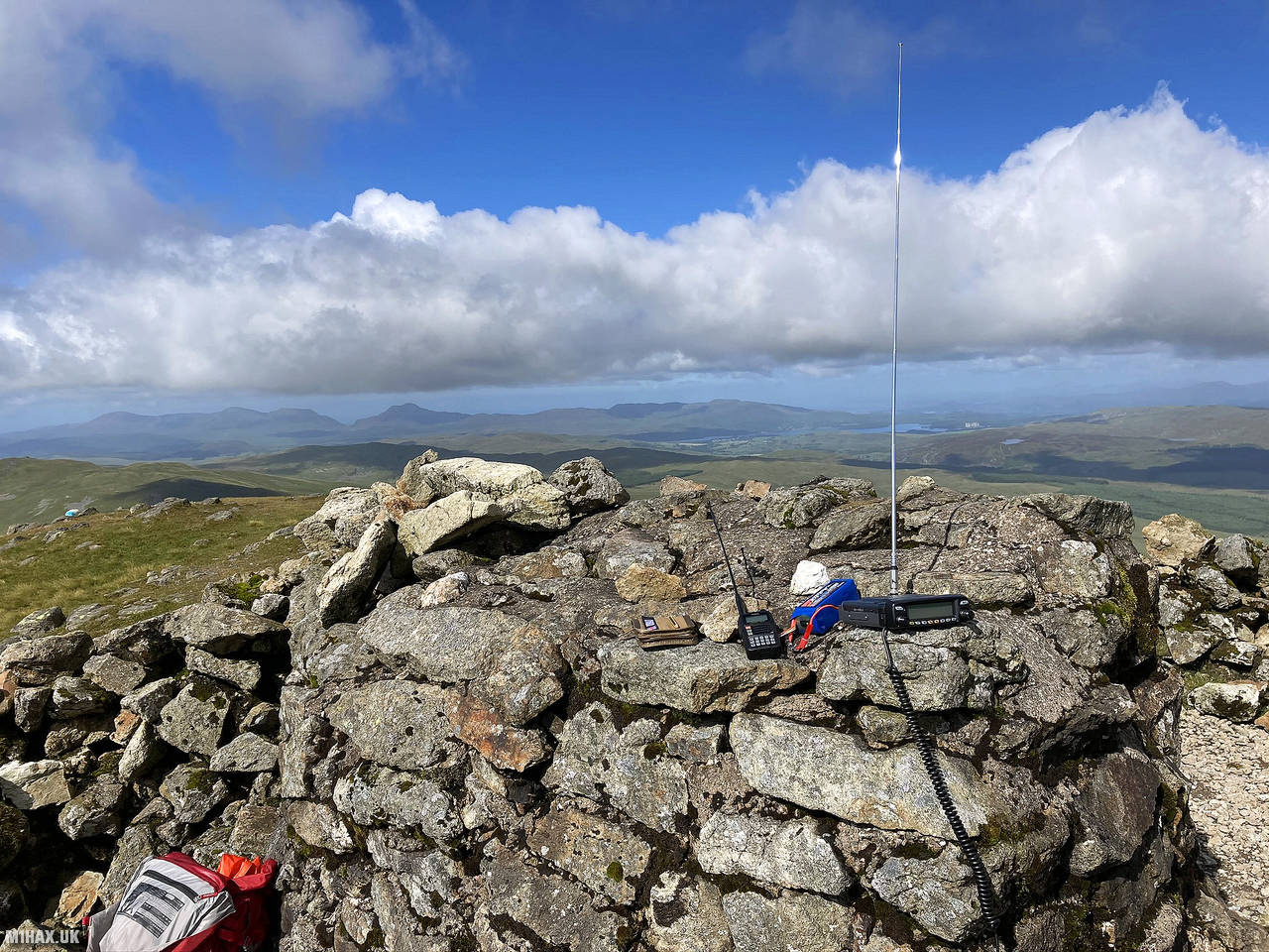
Radio Equipment: Yaesu FTM100D, MFJ-1714, Zippy 4200mAh 4S LiFePo4. Yaesu VX6, Diamond SRH770S.
Callsign Used: MW1HAX/P.
Contacts: 22 (2m FM, 70cm FM).
Trip Notes
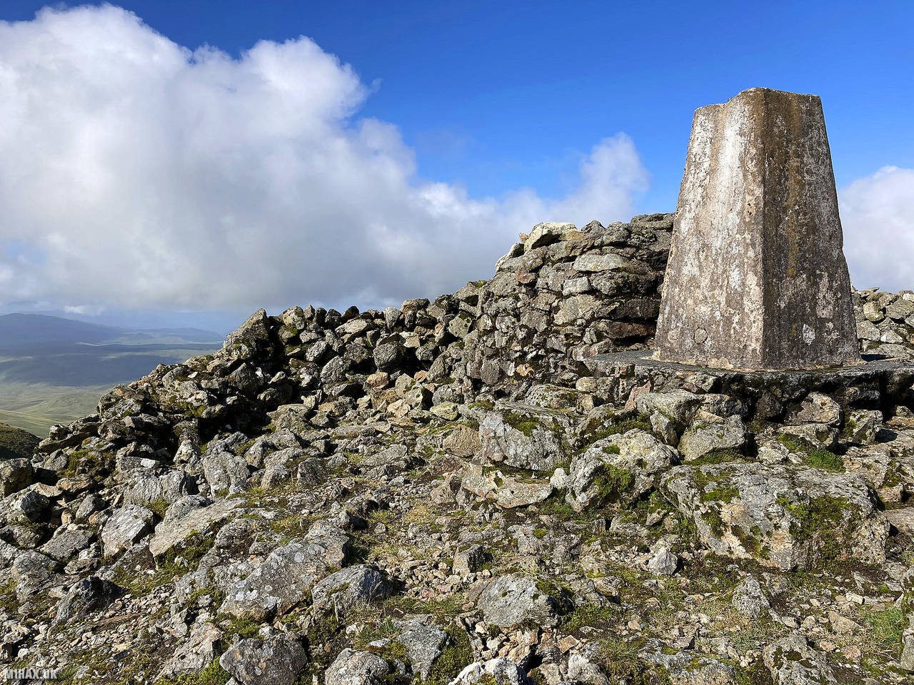
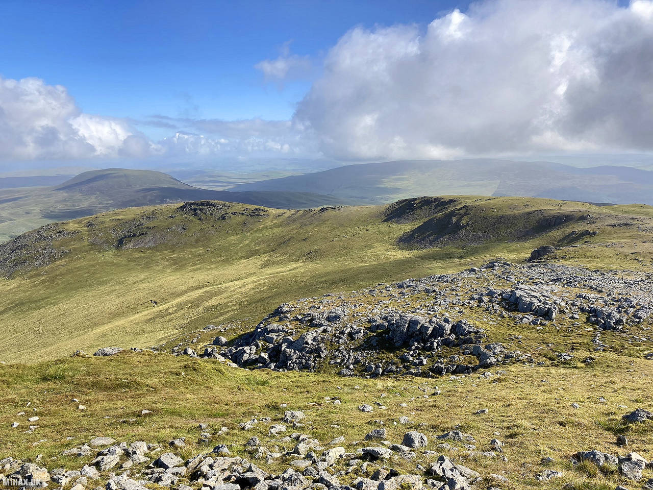
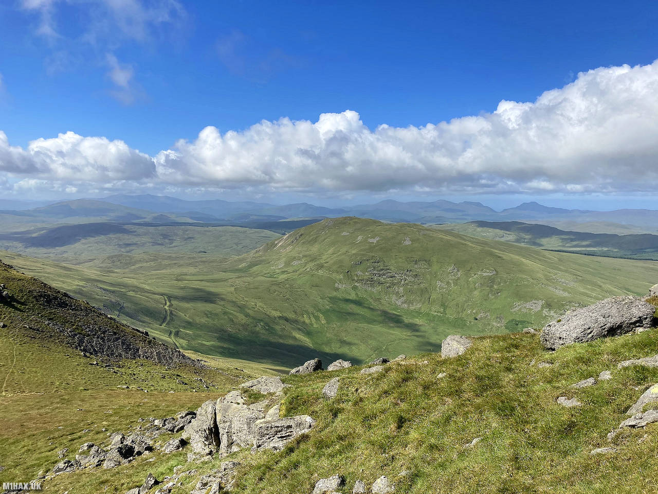
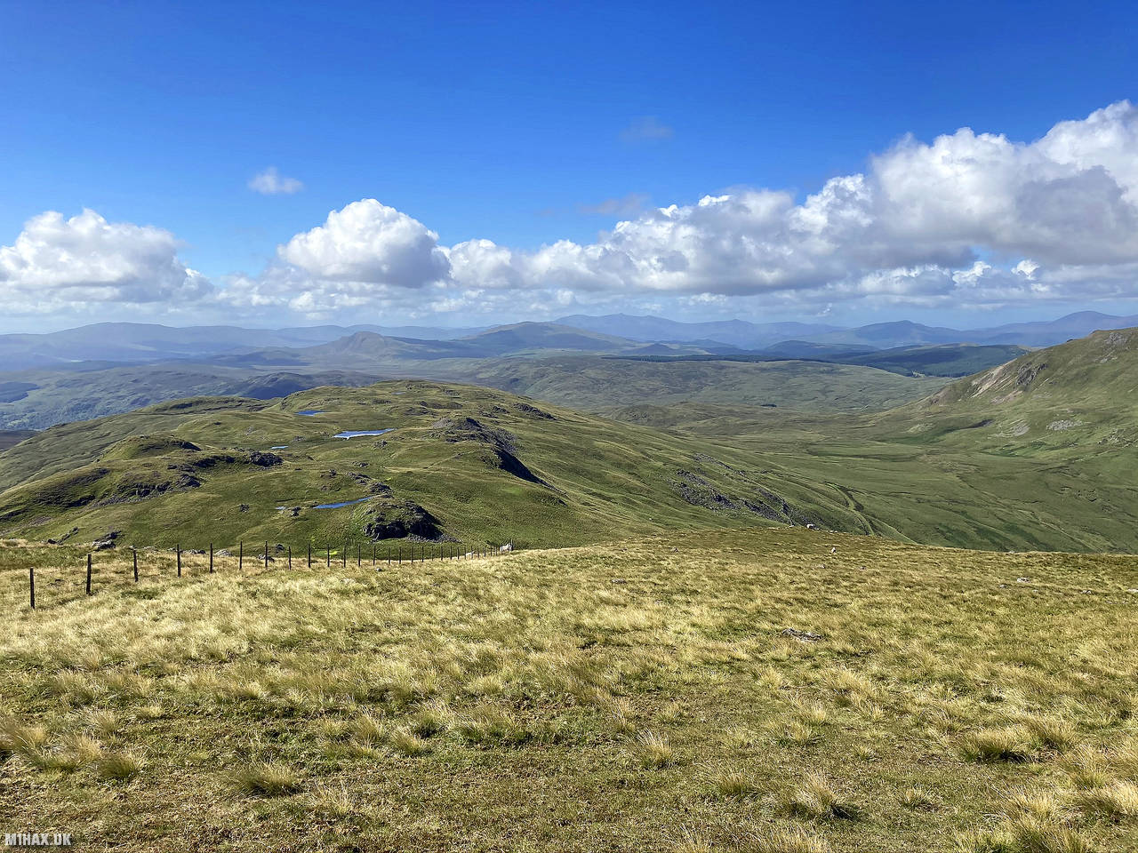
Arenig Fawr, a prominent mountain in Snowdonia, Wales, offers breathtaking views of various mountain ranges. The summit boasts a trig point and a memorial, while the surrounding area features Llyn Arenig Fawr reservoir. It’s an easily accessible and rewarding ascent with stunning panoramic vistas of Snowdonia and even distant peaks in Ireland and England on clear days.
Arenig Fawr was the first of two summits I would tackle on this 14km circuit, the other being Moel Llyfnant Hike GW/NW-018.
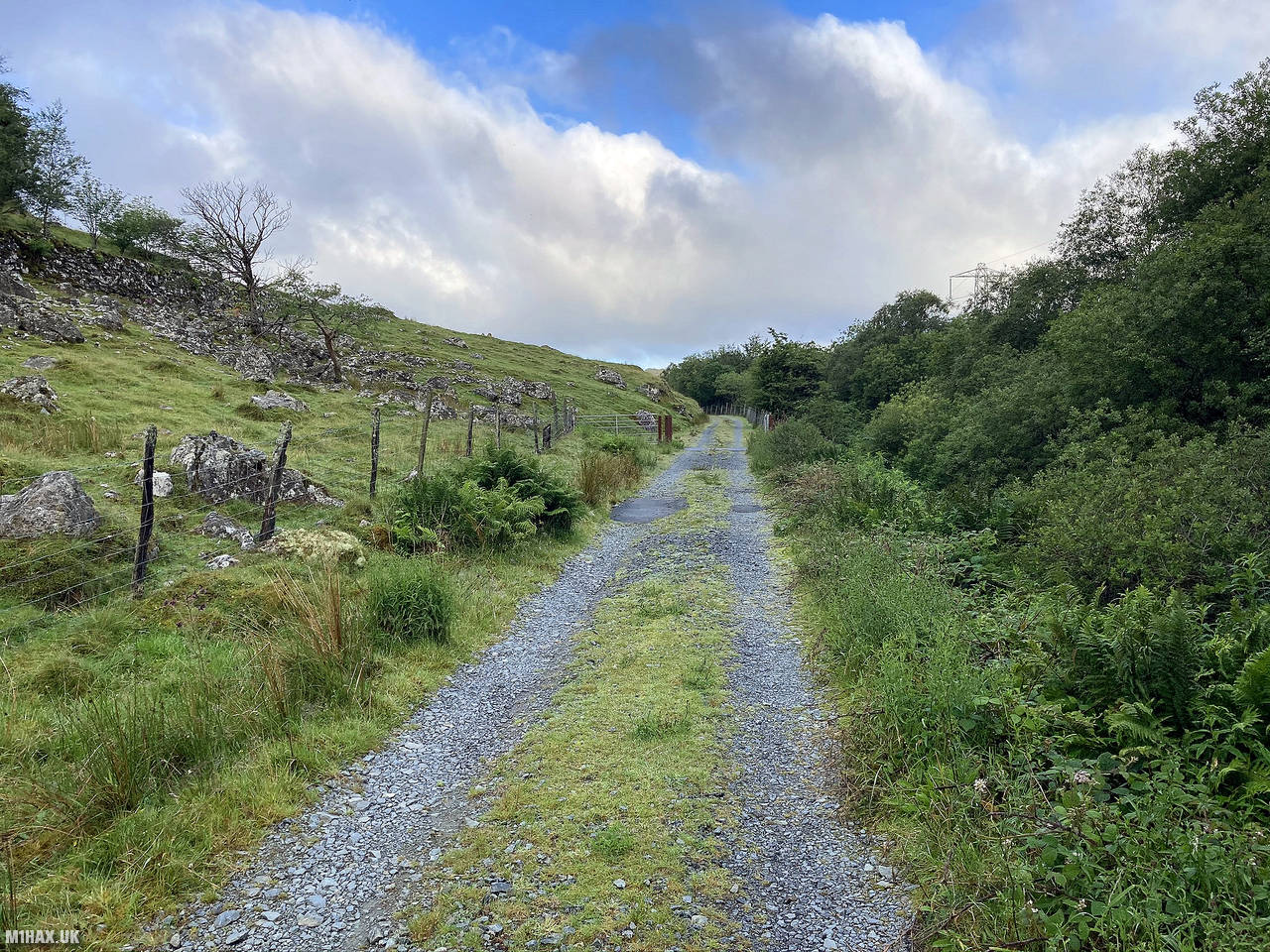
I left the car on the roadside near Llyn Celyn to the north east of the summit. There appears to be a large parking area here but the entrance has been blocked with large boulders.
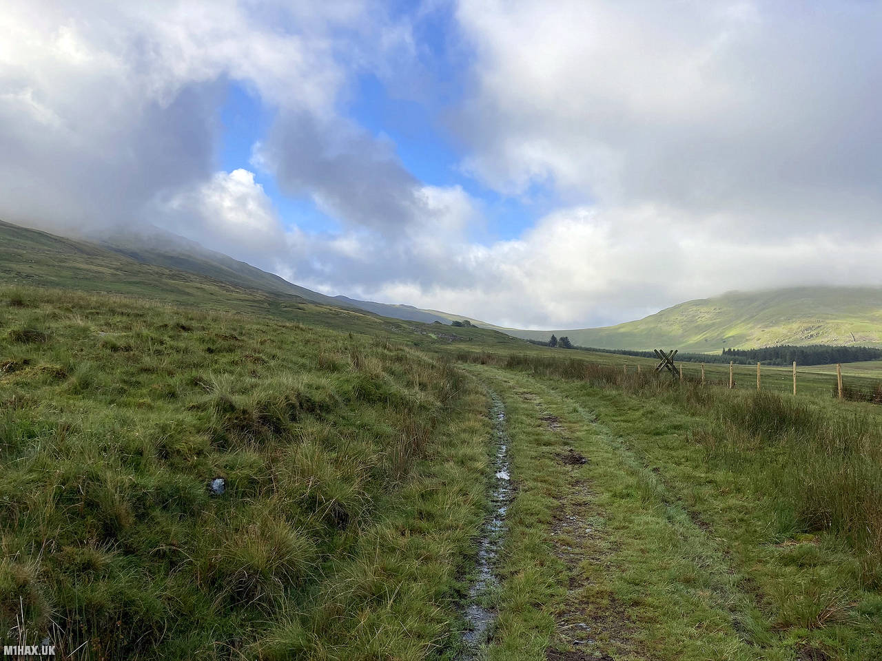
An obvious farm track heads southwest before forking south. This area was very wet underfoot and the path would become entirely flooded before reaching the turning to climb the flank of the hill.
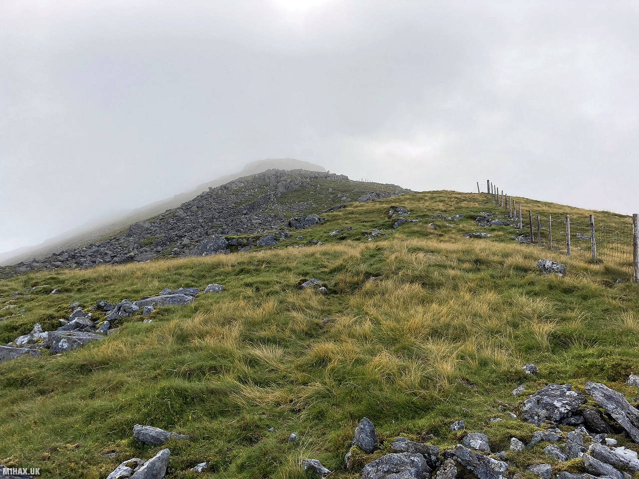
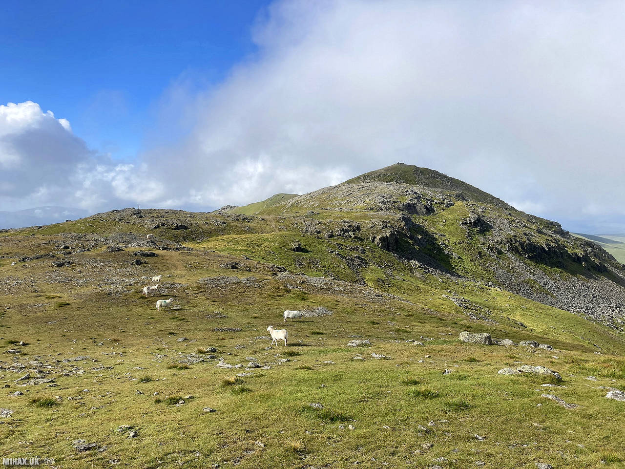
There is no real path to the summit however a popular choice appears to be to follow the fence line towards Craig y Hyrddod and on to the summit of Arenig Fawr. Initially it was tough going with a lot of boggy heather to navigate.
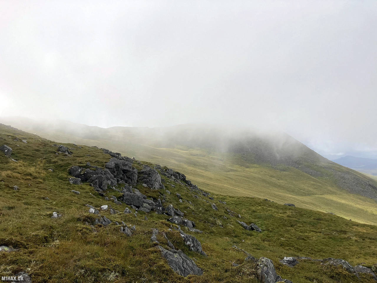
The second half of this leg from about 650 metres ASL becomes easier going, traversing over firmer ground.
After a little over a total of 4km travelled I arrived at the summit. Despite the very boggy ground conditions I was treated to excellent sunny views in every direction. VHF SOTA contacts on the radio were made easily in quick succession from the trig point.
Before packing away, I made four contacts on the 70cm band (UHF) with my Yaesu VX6. I’ve never tried to deliberately activate a summit only using 70cms, but sometimes it can be interesting to see how many contacts can be made with this frequency band.
I then continued south along the ridgeline starting the journey on to Moel Llyfnant.
Photos
Below are some photographs taken during my activation of Arenig Fawr on Sunday 19th July, 2020.


Walking Route for Arenig Fawr
The interactive map below shows my GPS track taken to the SOTA activation zone for Arenig Fawr. Note that this summit was activated as part of a multi-summit hike and the map below shows the full route taken on the day. The GW/NW-011 summit area is marked on the map with a blue pin icon.
You can download the route shown above as a GPX file suitable for use with most GPS devices. This file is provided for information only, to support your own walk planning and research (it may contain navigation errors, detours and/or safety hazards). The route downloads provided here are governed by the Creative Commons BY-NC-SA 4.0 licence.
Station Log
I logged the following 22 amateur radio contacts operating as MW1HAX/P from GW/NW-011 Arenig Fawr on Sunday 19th July, 2020 (all times shown are UTC):
| Time | Callsign | Band | Mode | Notes |
|---|---|---|---|---|
| 08:23 | GW4TQE/P | 2m | FM | John, 5/9, S2S GW/MW-030 |
| 08:25 | GW4VPX | 2m | FM | Allan, 5/9 |
| 08:28 | M1EYP | 2m | FM | Tom, 5/9, S2S G/SP-004 |
| 08:29 | 2E0LKC | 2m | FM | Peter, 5/9 |
| 08:30 | MW0OFA | 2m | FM | Frank, 5/9 |
| 08:31 | M0OAU | 2m | FM | Lee, 5/9 |
| 08:32 | GW0JLX/P | 2m | FM | Andy, 5/8 |
| 08:33 | 2E0LMD | 2m | FM | Anne, 5/9 |
| 08:34 | GW3XRM | 2m | FM | Dave, 5/9 |
| 08:35 | G6LKB | 2m | FM | David, 5/9 |
| 08:37 | M7AQA/A | 2m | FM | Terry, 5/9 |
| 08:38 | G0KEN | 2m | FM | Ken, 5/9 |
| 08:39 | G3WXN | 2m | FM | Lawrence, 5/7 |
| 08:40 | G0UXF | 2m | FM | Carl, 5/5 |
| 08:41 | MW7AUU | 2m | FM | Martin, 5/9 |
| 08:42 | GW4GRW/M | 2m | FM | John, 5/6 |
| 08:43 | 2E0PXW | 2m | FM | Barry, 5/8 |
| 08:45 | MW0WMW | 2m | FM | Mike, 5/9 |
| 08:49 | GW4TQD | 70cm | FM | John, 5/9 |
| 08:52 | MW0WMW | 70cm | FM | Mike, 5/9 |
| 08:56 | GW4GRW/M | 70cm | FM | John, 5/7 |
| 08:57 | G3WXN | 70cm | FM | Lawrence, 5/7 |
In the notes field I will usually log the other operator’s name and the signal report they provided. In accordance with the Summits on the Air rules, I do not make a log entry where a complete exchange of callsigns and signal reports was unsuccessful.
Additional Information
The following resources may be helpful to walkers, mountaineers and SOTA activators interested in Arenig Fawr:
- Sotl.as Summit Page for GW/NW-011 Arenig Fawr.
- Hill Bagging UK Summit Page for Arenig Fawr.
- Google Maps Page for Arenig Fawr.
- Wikipedia entry for Arenig Fawr.
- 360° Panorama near summit of GW/NW-011 Arenig Fawr.
If you found this content valuable, why not Buy Me a Coffee?