Carnedd y Filiast - GW/NW-032 SOTA (2020)

Summits on the Air Activation Report
Activation Date: Saturday 18th July, 2020.
Activator(s): Richard M1HAX.
Summit: Carnedd y Filiast, North Wales, Wales.
Summit ID: SOTA reference GW/NW-032 (4 points).
Summit Height: 669m elevation, 316m prominence.
Summit Location: Lat./Long. 52.98678, -3.68302. Maidenhead Grid IO82dx.
Distance: 13.8km travelled with 594m of ascent.
Difficulty: SAC Grade T1.(?)
Elapsed Time: 3hr 45m (including operating).
Weather: Feels like 12.8°C, 6 kph SSE wind, 91% humidity.
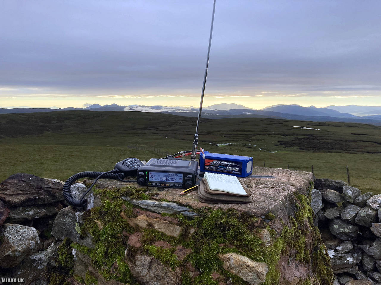
Radio Equipment: Yaesu FTM100D, MFJ-1714, Zippy 4200mAh 4S LiFePo4.
Callsign Used: MW1HAX/P.
Contacts: 11 (2m FM).
Trip Notes
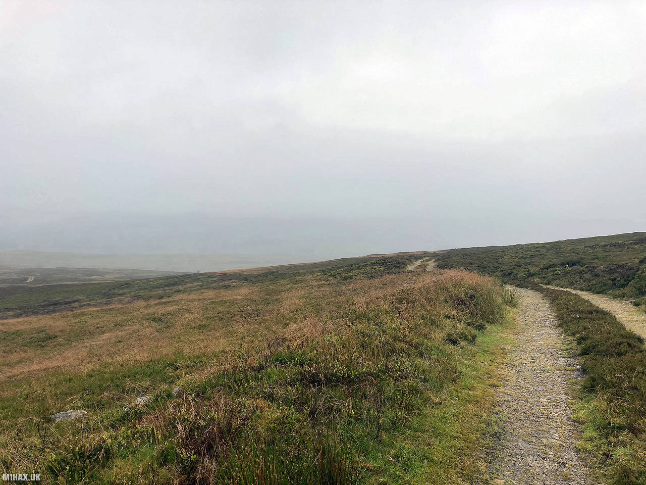
Carnedd y Filiast, a 669m mountain near Cerrigydrudion, North Wales, is part of the Arenig range. Its summit offers stunning views of various mountain ranges, including Snowdon, Rhinogs, Berwyns, and Bala Lake. The mountain features a north facing glacial cwm called Y Gylchedd.
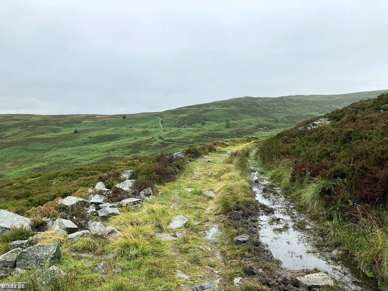
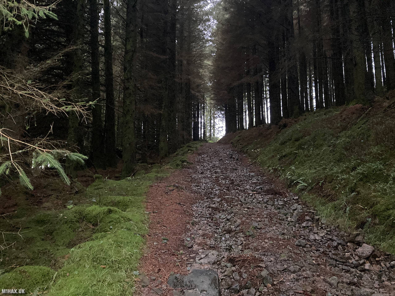
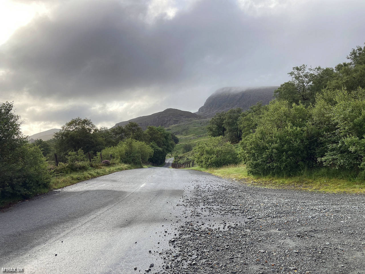
For this activation I approached from the south side of the mountain, parking at the start of a forestry track off the main road.
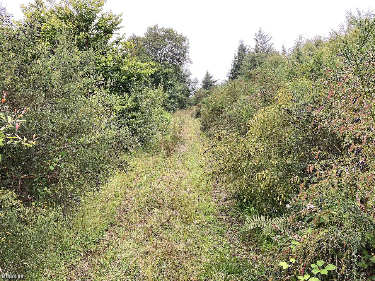
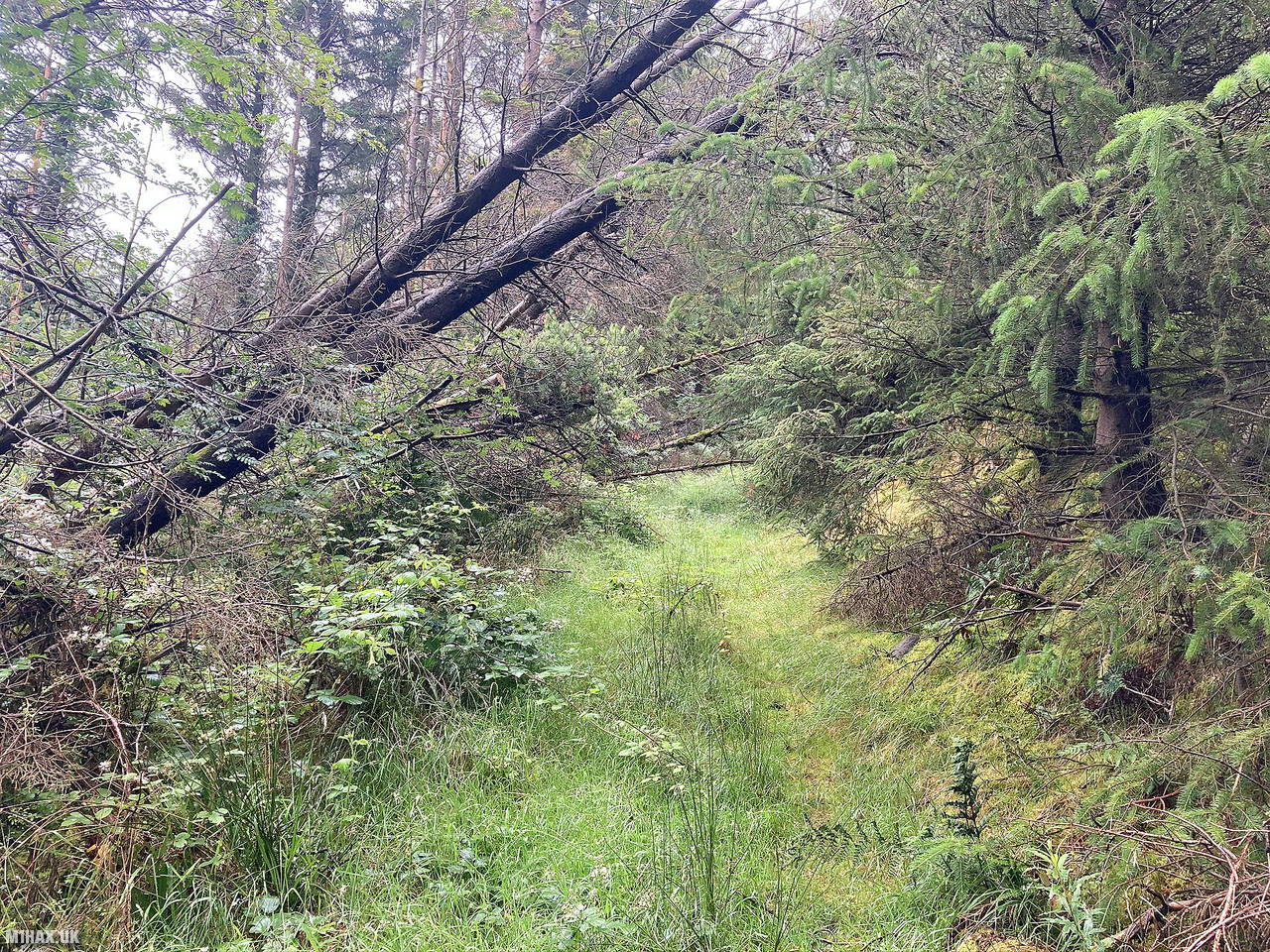
As seen by the GPS track on the map at the bottom of this page, I made a navigational error at the start of the walk. There are several places to park along the main road, and more than one forestry track heading towards the hill. I started too far east and found myself making very slow progress through a completely overgrown track.
Exiting the forest on the northern side, things didn’t improve as I had to wade through pathless deep ferns towards Yr Oerfa to pick up the correct path.
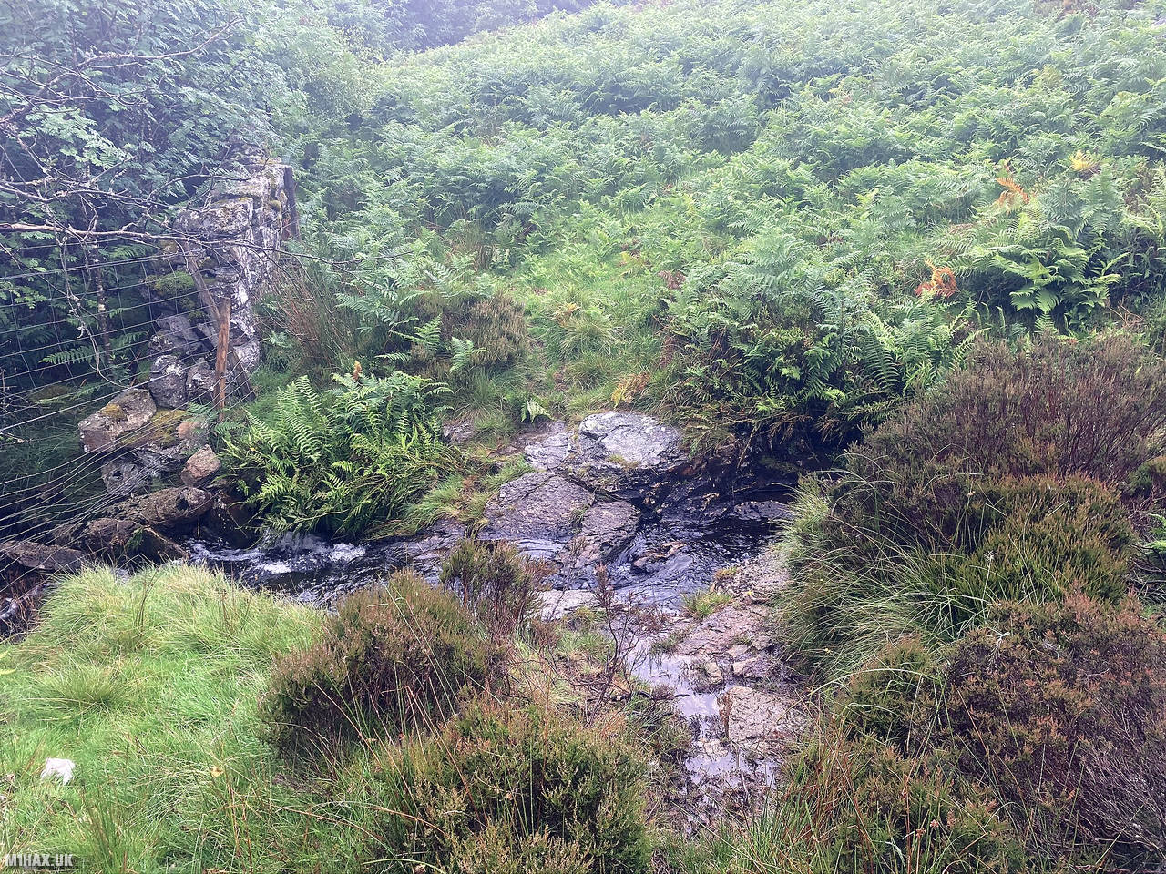
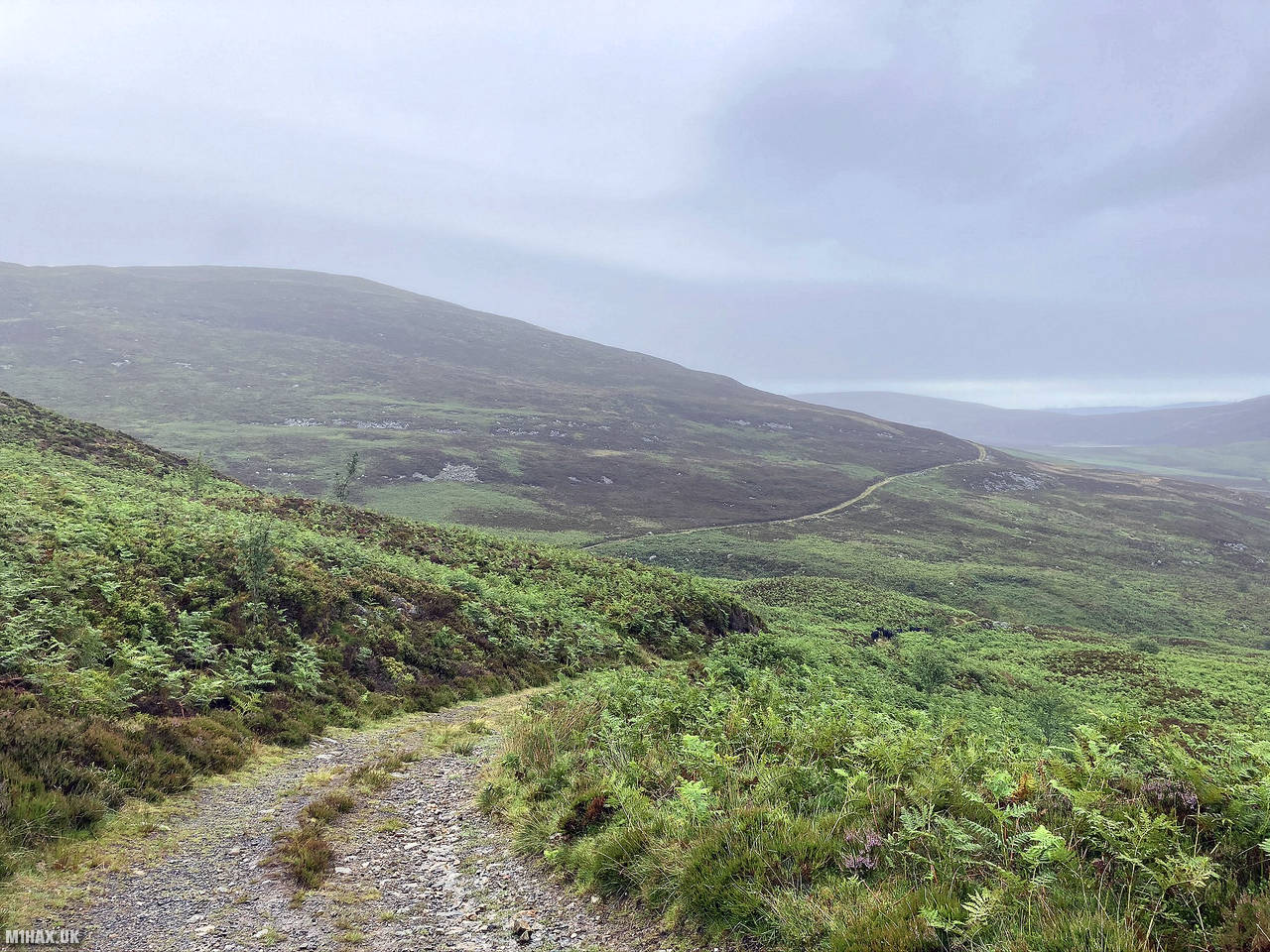
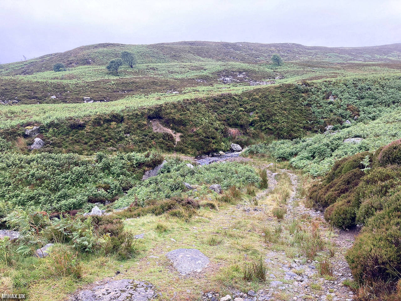
Once I had gained the farm track leading towards Carnedd y Filiast, progress improved. Along the route the track fords a small river, and with recent heavy rains I was concerned it may be impassable. It was however passed without issue.
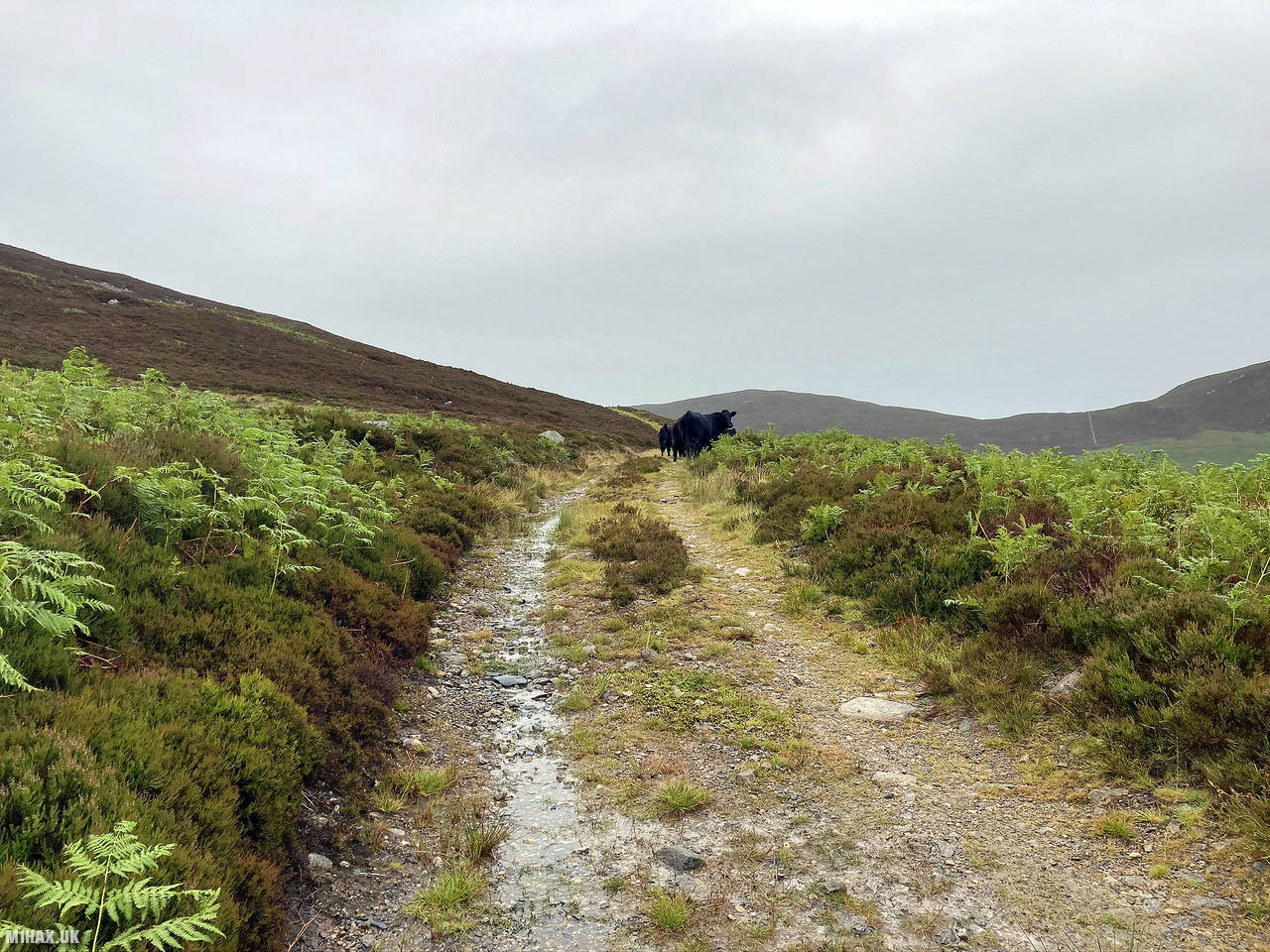
The next obstacle along this walk was meeting a herd of perhaps 15 cows blocking the path. After considering my options I successfully encouraged them to move on.
Continuing to follow the track, I eventually arrived at the trig point set within a small stone shelter. I activated the summit successfully without any difficulty, enjoying fantastic views across Snowdonia from the trig point.
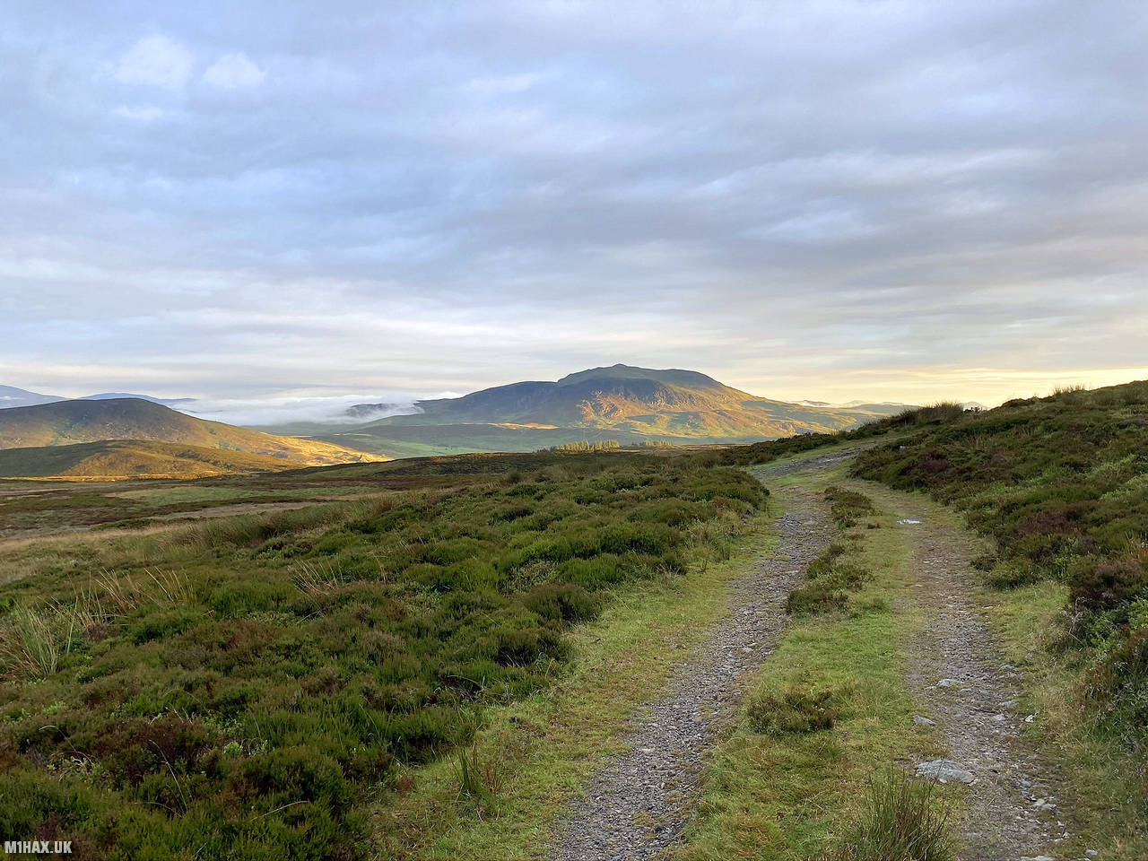
I returned back down the track towards the road. I was treated to more excellent views as the sun began to set and a temperature inversion blanketed the distant land with cloud.
Nearing the forest, it was now obvious to see the other forest track which I should have followed earlier. I walked this back to the road and then returned to the car.
This is a beautiful mountain and one I definitely recommend to keen walkers. It is however quite a big walk for a 4-point SOTA summit. I suspect there may be an easier route possible from the northern side and would consider that if time was at a premium.
Photos
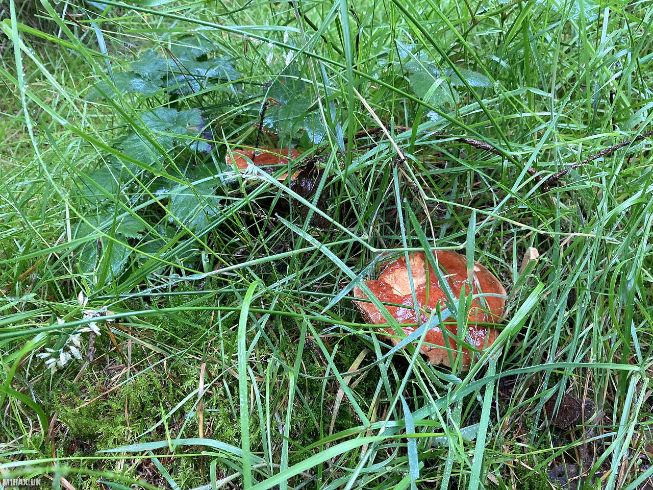
Below are some photographs taken during my activation of Carnedd y Filiast on Saturday 18th July, 2020.


Walking Route for Carnedd y Filiast
The interactive map below shows my GPS track taken to the SOTA activation zone for Carnedd y Filiast. The GW/NW-032 summit area is marked on the map with a blue pin icon.
You can download the route shown above as a GPX file suitable for use with most GPS devices. This file is provided for information only, to support your own walk planning and research (it may contain navigation errors, detours and/or safety hazards). The route downloads provided here are governed by the Creative Commons BY-NC-SA 4.0 licence.
Station Log
I logged the following 11 amateur radio contacts operating as MW1HAX/P from GW/NW-032 Carnedd y Filiast on Saturday 18th July, 2020 (all times shown are UTC):
| Time | Callsign | Band | Mode | Notes |
|---|---|---|---|---|
| 18:56 | M0OAU | 2m | FM | Lee, 5/7 |
| 19:02 | MW0OFA | 2m | FM | Frank, 5/4 |
| 19:03 | 2E0LKC | 2m | FM | Peter, 5/9 |
| 19:04 | 2E0LMD | 2m | FM | Anne, 5/9 |
| 19:07 | 2W0JYN | 2m | FM | Steven, 5/2 |
| 19:08 | 2E0MOW | 2m | FM | Chris, 5/8 |
| 19:12 | 2E0EVD | 2m | FM | Clive, 5/5 |
| 19:14 | G8CPZ | 2m | FM | Andy, 5/3 |
| 19:15 | G8BEQ | 2m | FM | Ken, 5/9 |
| 19:18 | M0NOM/P | 2m | FM | Mark, 5/9 |
| 19:22 | M7PAE | 2m | FM | Paul, 5/9 |
In the notes field I will usually log the other operator’s name and the signal report they provided. In accordance with the Summits on the Air rules, I do not make a log entry where a complete exchange of callsigns and signal reports was unsuccessful.
Additional Information
The following resources may be helpful to walkers, mountaineers and SOTA activators interested in Carnedd y Filiast:
- Sotl.as Summit Page for GW/NW-032 Carnedd y Filiast.
- Hill Bagging UK Summit Page for Carnedd y Filiast.
- Google Maps Page for Carnedd y Filiast.
- Wikipedia entry for Carnedd y Filiast.
If you found this content valuable, why not Buy Me a Coffee?