Foel Goch - GW/NW-039 SOTA (2020)

Summits on the Air Activation Report
Activation Date: Saturday 18th July, 2020.
Activator(s): Richard M1HAX.
Summit: Foel Goch, North Wales, Wales.
Summit ID: SOTA reference GW/NW-039 (4 points).
Summit Height: 611m elevation, 274m prominence.
Summit Location: Lat./Long. 52.96776, -3.55923. Maidenhead Grid IO82fx.
Distance: 3.9km travelled with 253m of ascent.
Difficulty: SAC Grade T1.(?)
Elapsed Time: 1hr 20m (including operating).
Weather: Feels like 15.6°C, 26 kph SW wind, 98% humidity.
Radio Equipment: Yaesu FTM100D, MFJ-1714, Zippy 4200mAh 4S LiFePo4.
Callsign Used: MW1HAX/P.
Contacts: 5 (2m FM).
Trip Notes
Located in northeast Wales, Foel Goch is a mountain that belongs to the Arenig mountain range. Unlike the other peaks in the Arenig group, Foel Goch lies outside of the Snowdonia National Park. The hill has quite a few glacial erratics, including a large one situated in Cwm Da.
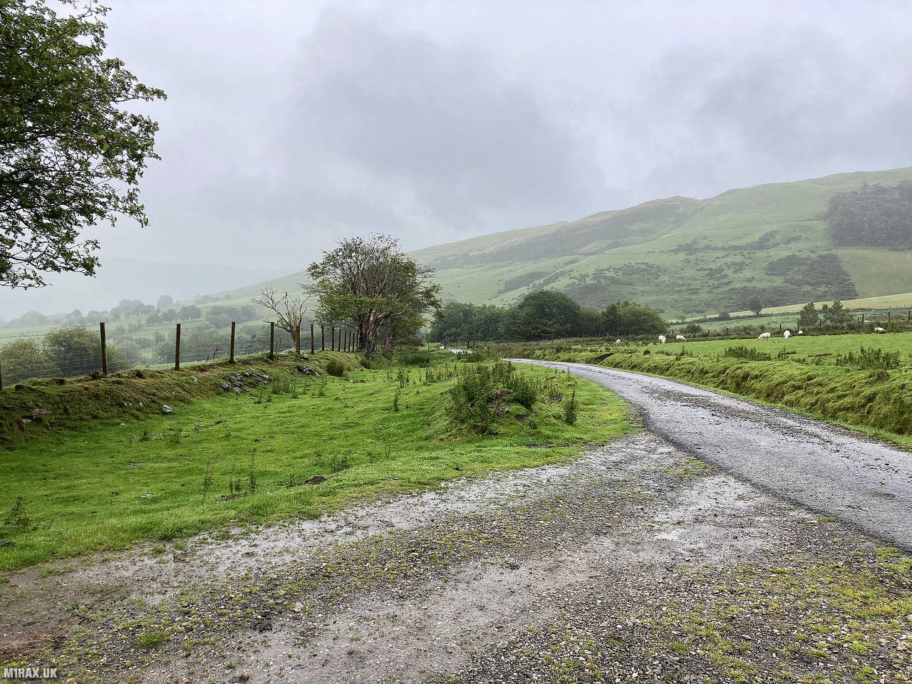
I activated Foel Goch as part of a weekend trip walking hills in the Arenigs (Snowdonia). Although it is long and narrow with few passing places, a good tarmac road leads up to the start point. I parked off the road at a fork junction.
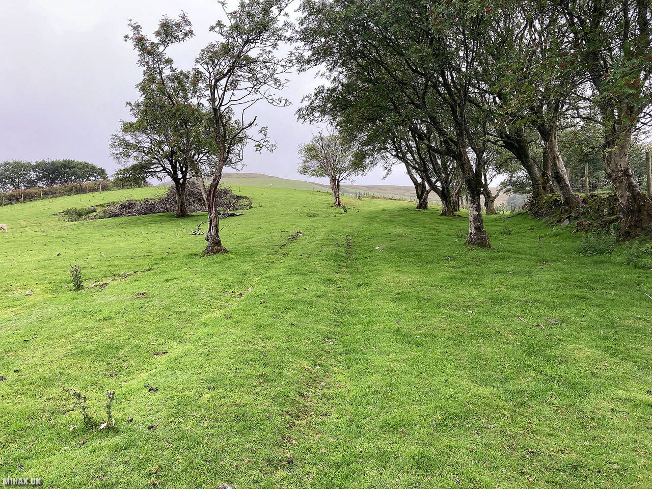
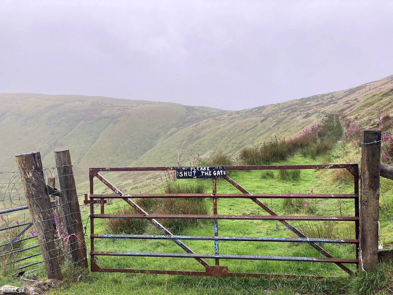
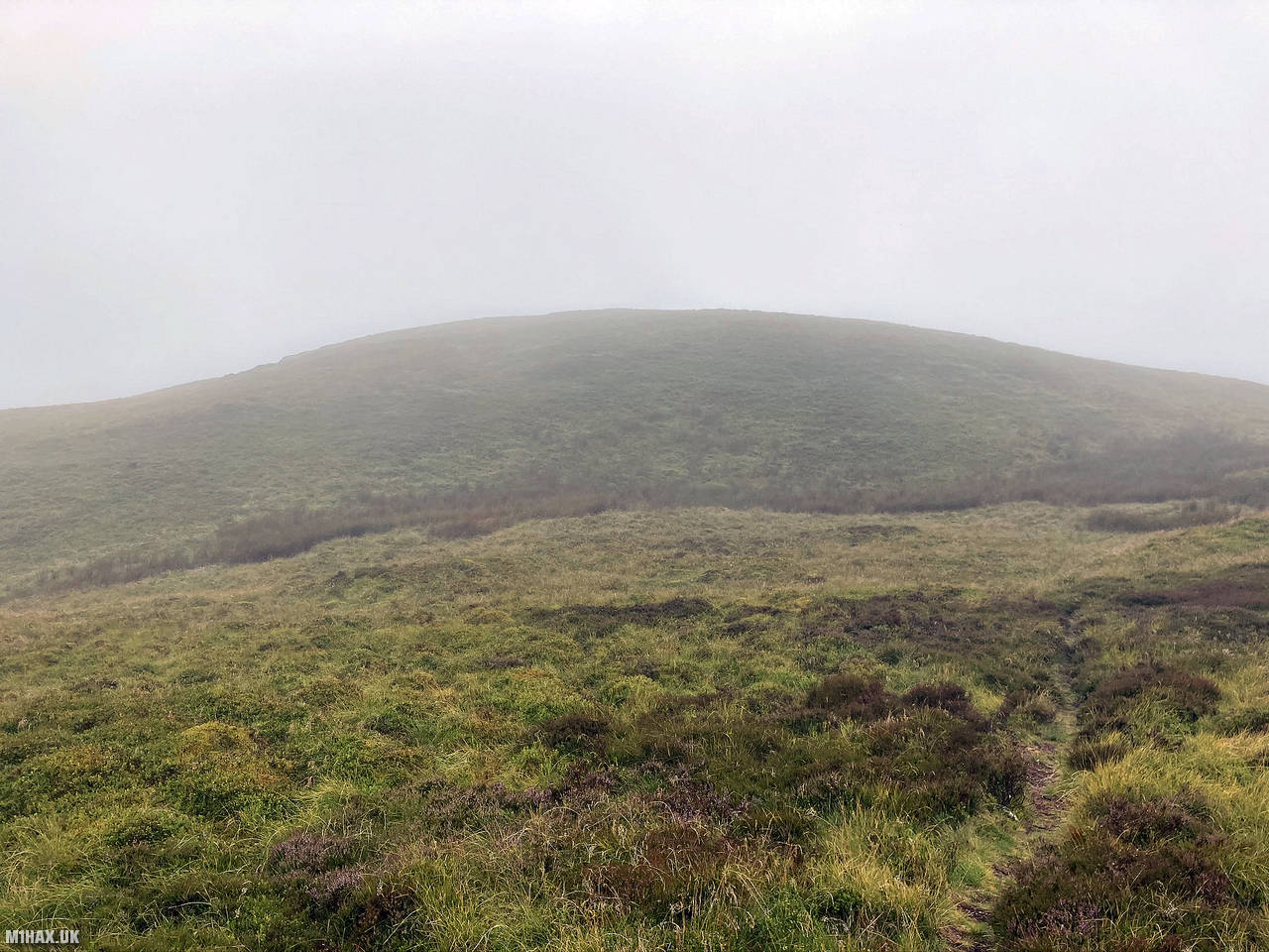
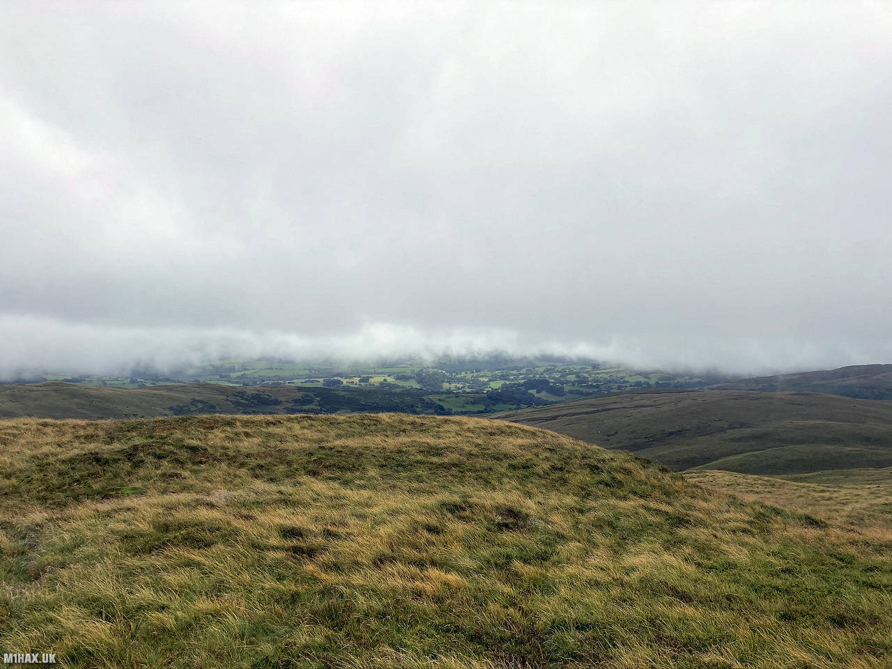
In light rain I headed off up the hill, walking south up grassy slopes. Although there was thick cloud cover, I was still treated to the occasional good view across the countryside. Paths converge at a junction on the eastern shoulder of Foel Goch. From here I turned west, up steeper ground.
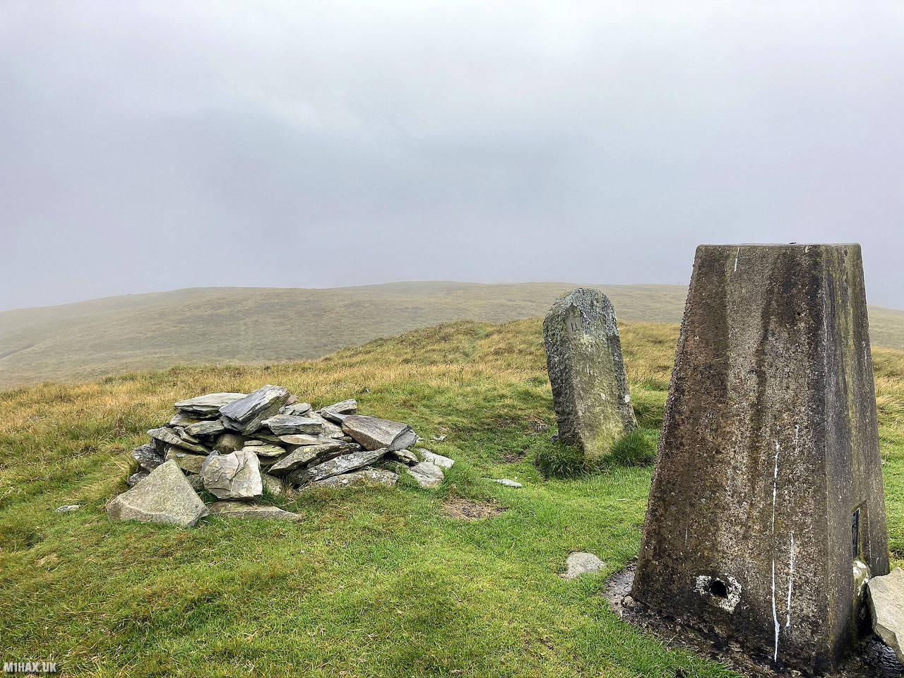
The grassy summit of Foel Goch is identifiable by a trig point, cairn, and a boundary stone.
I activated the summit on the 2-metre band with my Yaesu mobile rig. I made a small number of contacts in quick succession before packing away the wet gear.
To finish my walk, I simply headed back down the paths I had followed to the summit. This is quite an easy hill for a 4-point SOTA summit, with less than 2km distance to the summit.
Photos
Below are some photographs taken during my activation of Foel Goch on Saturday 18th July, 2020.


Walking Route for Foel Goch
The interactive map below shows my GPS track taken to the SOTA activation zone for Foel Goch. The GW/NW-039 summit area is marked on the map with a blue pin icon.
You can download the route shown above as a GPX file suitable for use with most GPS devices. This file is provided for information only, to support your own walk planning and research (it may contain navigation errors, detours and/or safety hazards). The route downloads provided here are governed by the Creative Commons BY-NC-SA 4.0 licence.
Station Log
I logged the following 5 amateur radio contacts operating as MW1HAX/P from GW/NW-039 Foel Goch on Saturday 18th July, 2020 (all times shown are UTC):
| Time | Callsign | Band | Mode | Notes |
|---|---|---|---|---|
| 16:00 | 2E0LKC | 2m | FM | Peter, 5/9 |
| 16:02 | 2E0LMD | 2m | FM | Anne, 5/9 |
| 16:04 | MW0WMW | 2m | FM | Mike, 5/9 |
| 16:06 | G4HZW | 2m | FM | Tony, 5/8 |
| 16:08 | G0CTR | 2m | FM | Peter, 5/9 |
In the notes field I will usually log the other operator’s name and the signal report they provided. In accordance with the Summits on the Air rules, I do not make a log entry where a complete exchange of callsigns and signal reports was unsuccessful.
Additional Information
The following resources may be helpful to walkers, mountaineers and SOTA activators interested in Foel Goch:
- Sotl.as Summit Page for GW/NW-039 Foel Goch.
- Hill Bagging UK Summit Page for Foel Goch.
- Google Maps Page for Foel Goch.
- Wikipedia entry for Foel Goch.
If you found this content valuable, why not Buy Me a Coffee?