Maesglase - GW/NW-029 SOTA (2020)

Summits on the Air Activation Report
Activation Date: Monday 20th July, 2020.
Activator(s): Richard M1HAX.
Summit: Maesglase, North Wales, Wales.
Summit ID: SOTA reference GW/NW-029 (4 points).
Summit Height: 679m elevation, 318m prominence.
Summit Location: Lat./Long. 52.72000, -3.75250. Maidenhead Grid IO82cr.
Distance: 9.8km travelled with 541m of ascent.
Difficulty: SAC Grade T2.(?)
Elapsed Time: 3hr 20m (including operating).
Weather: Feels like 15.6°C, 7 kph NW wind, 55% humidity.
Radio Equipment: Yaesu FTM100D, MFJ-1714, Zippy 4200mAh 4S LiFePo4.
Callsign Used: MW1HAX/P.
Contacts: 6 (2m FM).
Trip Notes
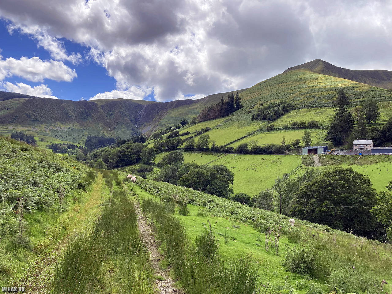
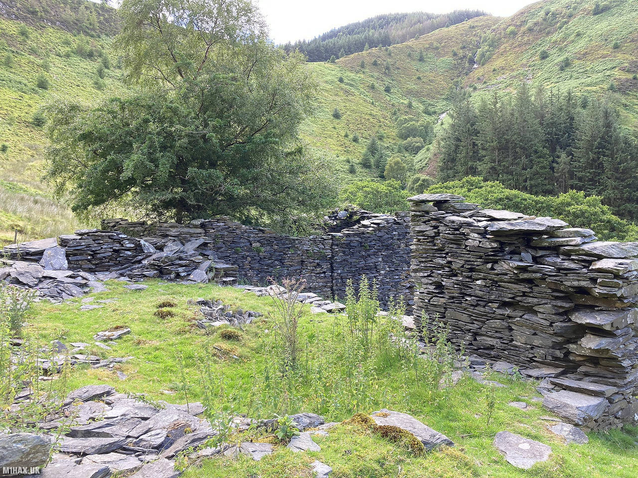
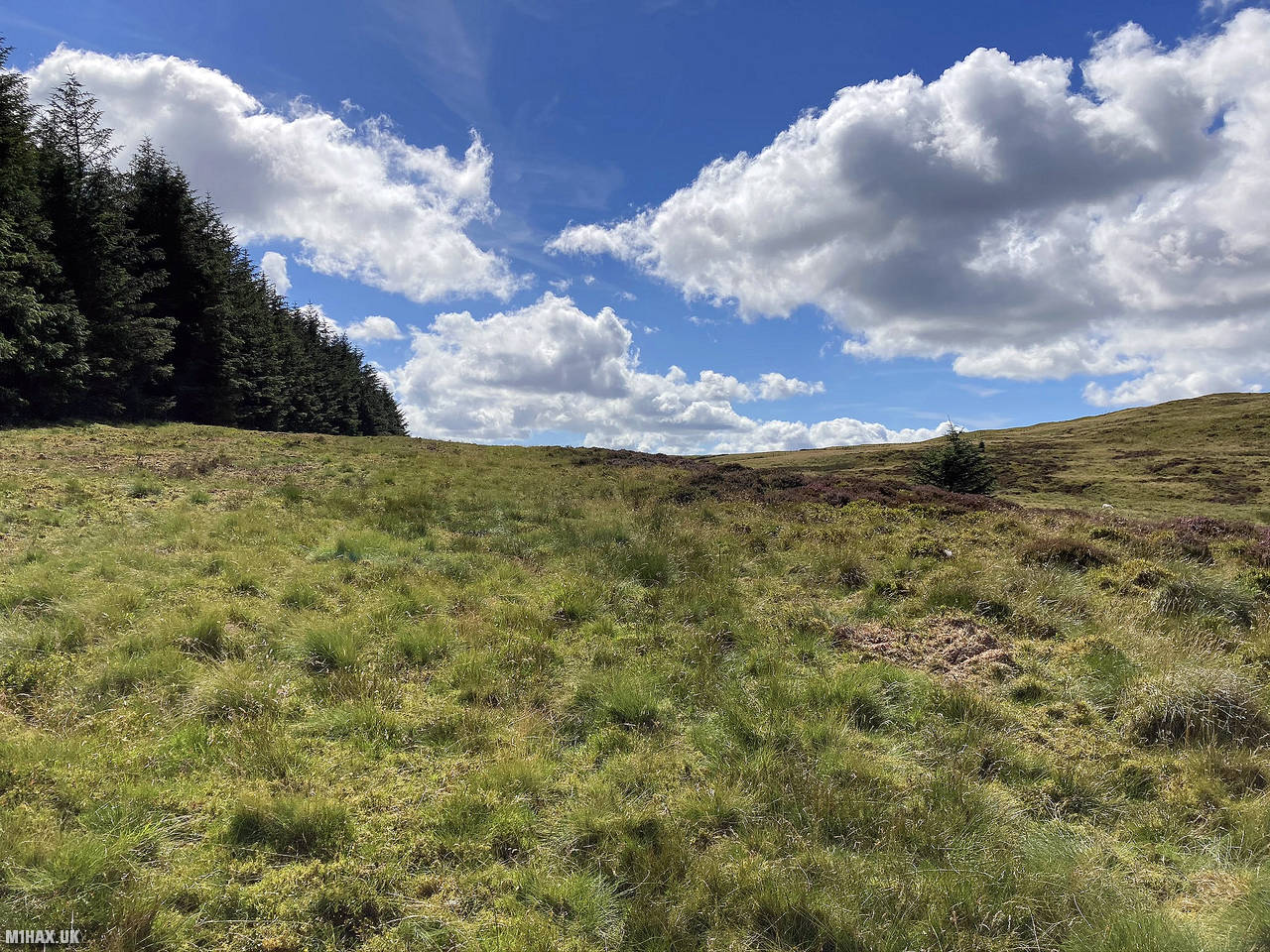
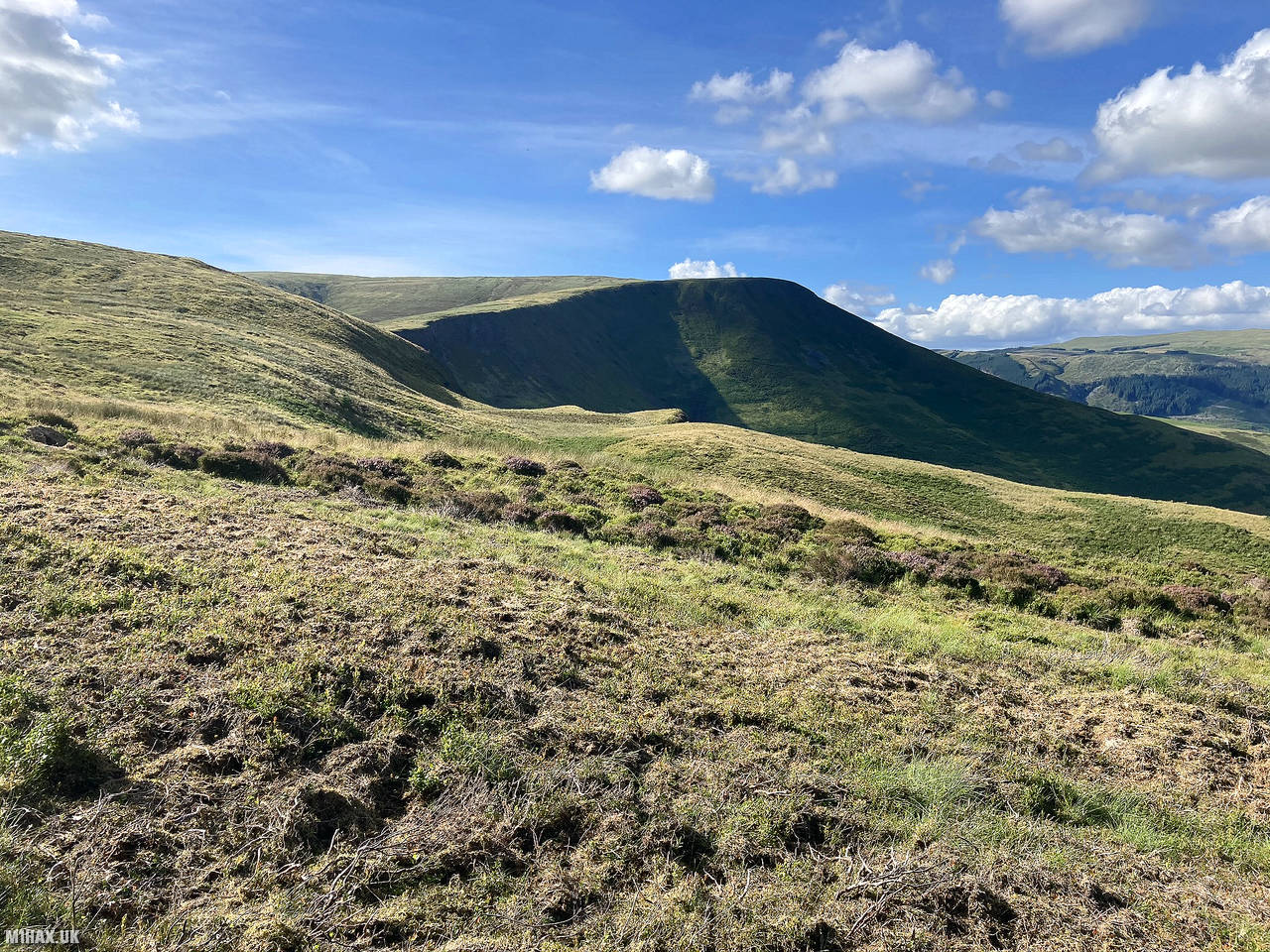
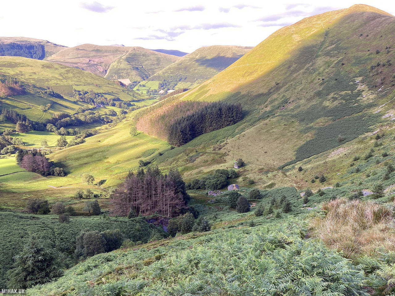
Maesglase, a mountain in Snowdonia, Wales, offers various hiking opportunities. The area showcases glacial valleys, waterfalls, sheep farming, forests, and diverse vegetation. Parallel ridges extend southward towards Mynydd Dolgoed and Mynydd Gartheiniog.
I parked at the end of the Tyn-y-braich farm access road where there is space to park near the bend without blocking the road.
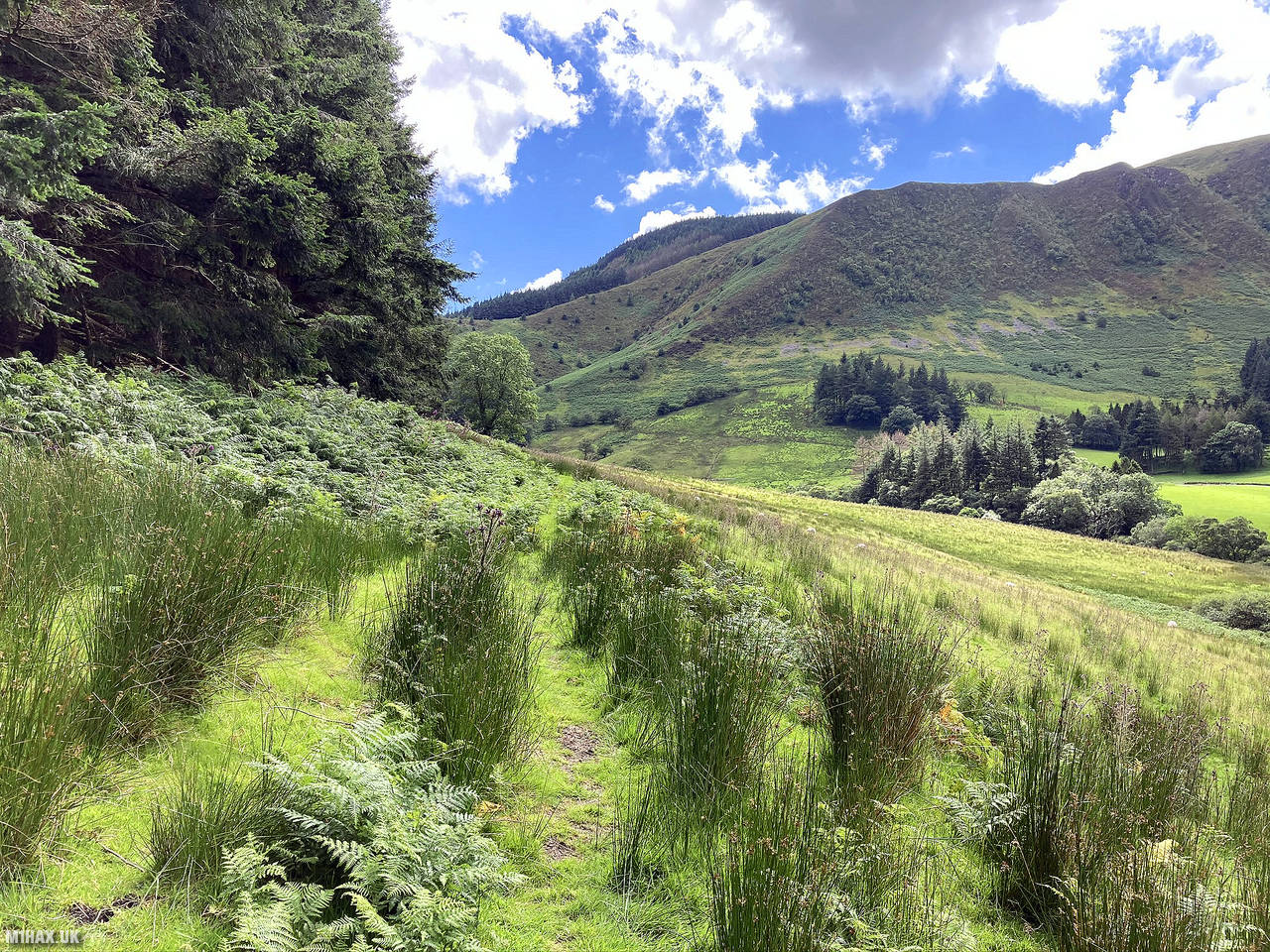
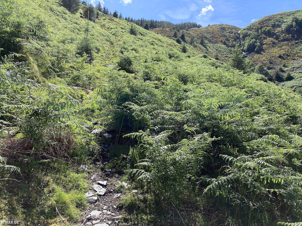
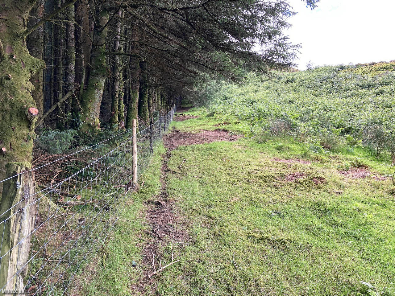
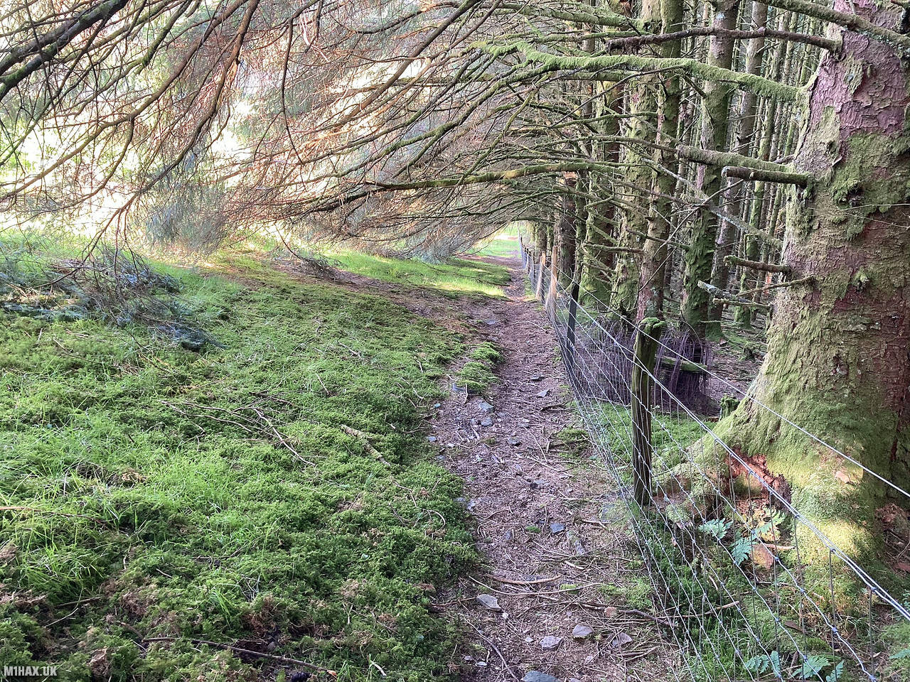
I then took the access track on the eastern side of Nant Maesglase, heading south. Eventually the path steeply tracks uphill next to an old forest.
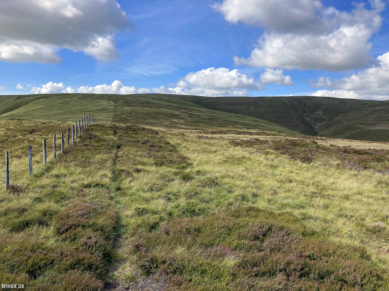
As the ground begins to level out, I chose to follow the fence line round to Cae Afon. The alternative route here is to turn north and follow the Cambrian Way path along the cliffs and past the waterfalls. Should I repeat this hill in the future, I will try the Cambrian Way path instead.
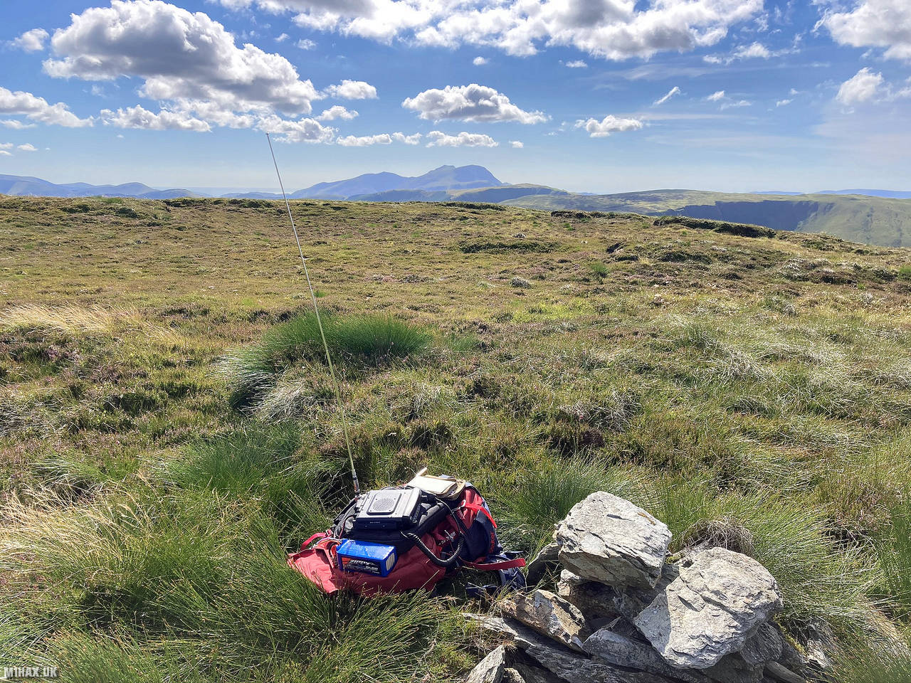
A small pile of stones seems to mark the high point at 679 metres. From here I sat on the ground and made a handful of radio contacts on the 2-metres band.
I returned back to the car using the ascent route. This is a very picturesque mountain which was enjoyable to activate, however the ~540 metres of climbing ascent made it quite tough for a 4-point hill.
Photos
Below are some photographs taken during my activation of Maesglase on Monday 20th July, 2020.


Walking Route for Maesglase
The interactive map below shows my GPS track taken to the SOTA activation zone for Maesglase. The GW/NW-029 summit area is marked on the map with a blue pin icon.
You can download the route shown above as a GPX file suitable for use with most GPS devices. This file is provided for information only, to support your own walk planning and research (it may contain navigation errors, detours and/or safety hazards). The route downloads provided here are governed by the Creative Commons BY-NC-SA 4.0 licence.
Station Log
I logged the following 6 amateur radio contacts operating as MW1HAX/P from GW/NW-029 Maesglase on Monday 20th July, 2020 (all times shown are UTC):
| Time | Callsign | Band | Mode | Notes |
|---|---|---|---|---|
| 15:48 | G6UYG/M | 2m | FM | Steve, 4/7 |
| 15:51 | MW0OFA | 2m | FM | Frank, 5/9 |
| 15:53 | GW4VPX | 2m | FM | Allan, 5/9 |
| 15:55 | MW0WMW | 2m | FM | Mike, 5/9 |
| 16:00 | MW0MDV | 2m | FM | Dave, 5/7 |
| 16:02 | MW7ROY | 2m | FM | Don, 4/7 |
In the notes field I will usually log the other operator’s name and the signal report they provided. In accordance with the Summits on the Air rules, I do not make a log entry where a complete exchange of callsigns and signal reports was unsuccessful.
Additional Information
The following resources may be helpful to walkers, mountaineers and SOTA activators interested in Maesglase:
- Sotl.as Summit Page for GW/NW-029 Maesglase.
- Hill Bagging UK Summit Page for Maesglase.
- Google Maps Page for Maesglase.
- Wikipedia entry for Maesglase.
If you found this content valuable, why not Buy Me a Coffee?