Moel Llyfnant - GW/NW-018 SOTA (2020)

Summits on the Air Activation Report
Activation Date: Sunday 19th July, 2020.
Activator(s): Richard M1HAX.
Summit: Moel Llyfnant, North Wales, Wales.
Summit ID: SOTA reference GW/NW-018 (6 points).
Summit Height: 751m elevation, 206m prominence.
Summit Location: Lat./Long. 52.90086, -3.77318. Maidenhead Grid IO82cv.
Also Activated: GW/NW-011.
Distance: 14.0km travelled with 851m of ascent.
Difficulty: SAC Grade T1.(?)
Elapsed Time: 5hr 40m (incl. operating and other summit(s) on the same hike).
Weather: Feels like 12.2°C, 4 kph N wind, 88% humidity.
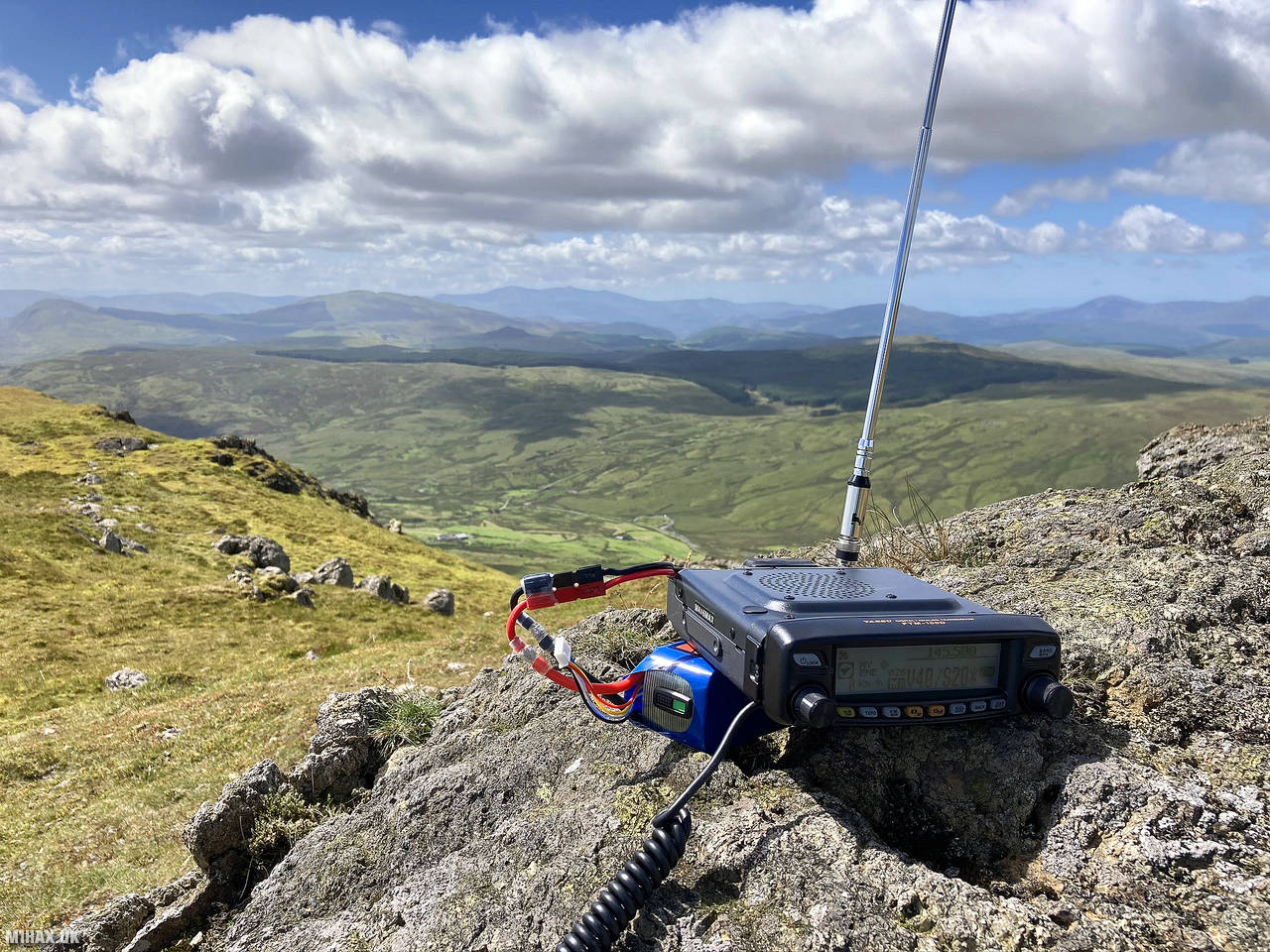
Radio Equipment: Yaesu FTM100D, MFJ-1714, Zippy 4200mAh 4S LiFePo4.
Callsign Used: MW1HAX/P.
Contacts: 10 (2m FM).
Trip Notes
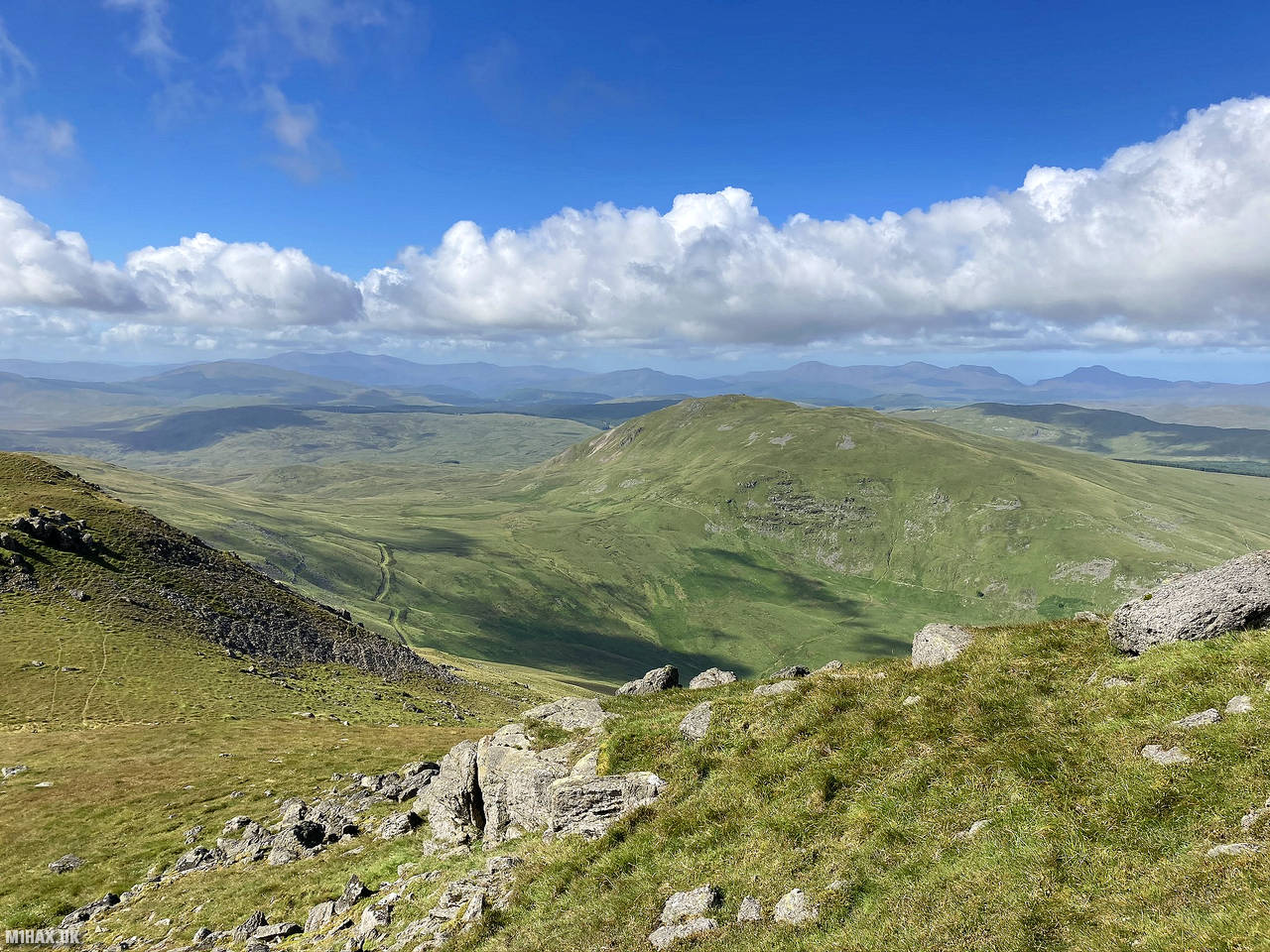
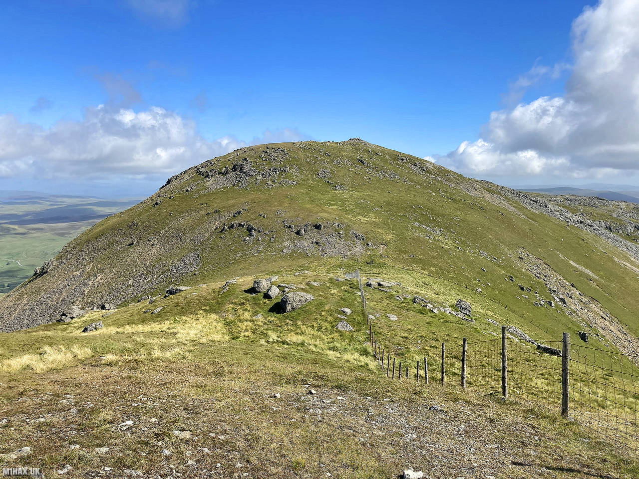
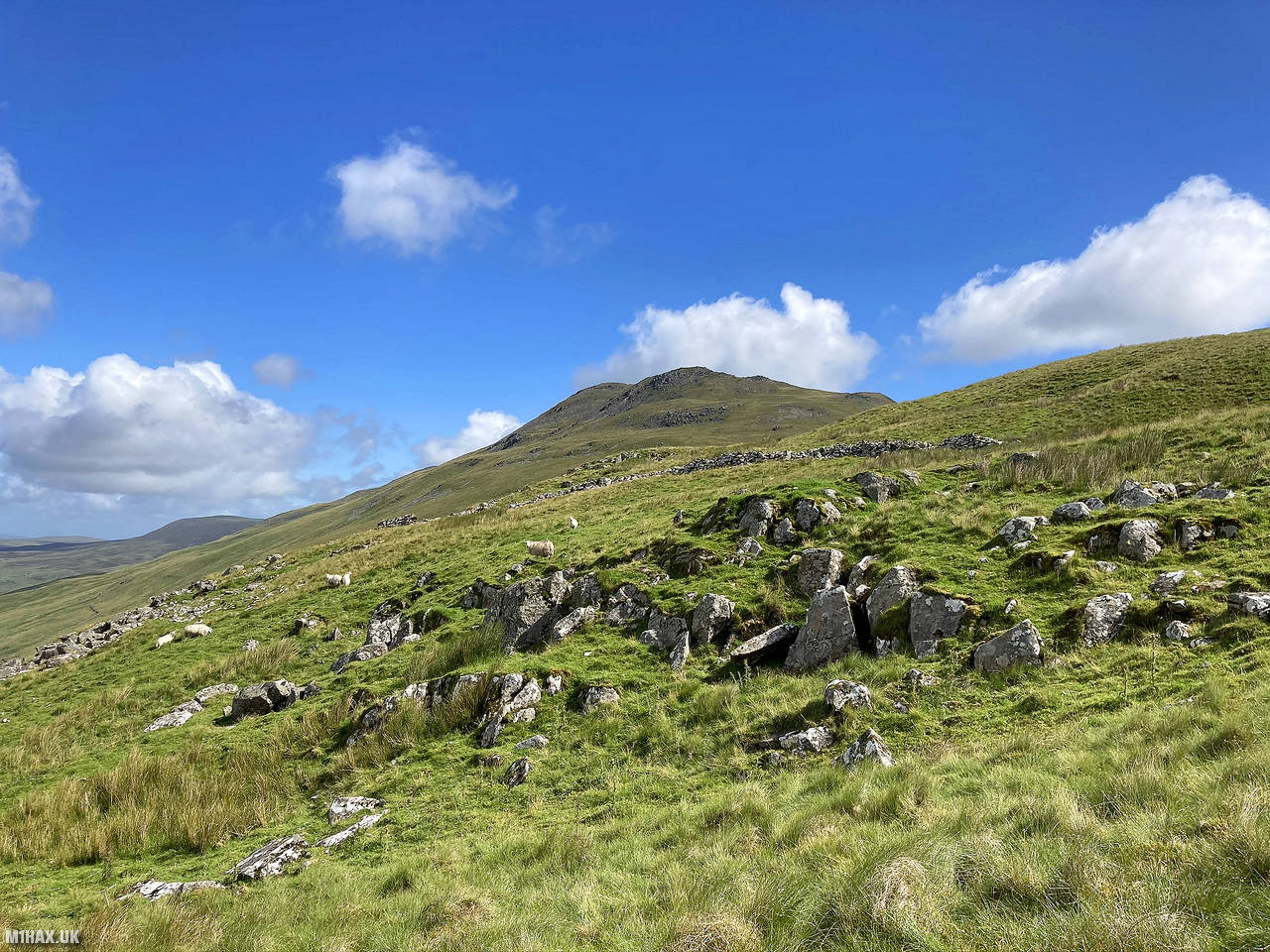
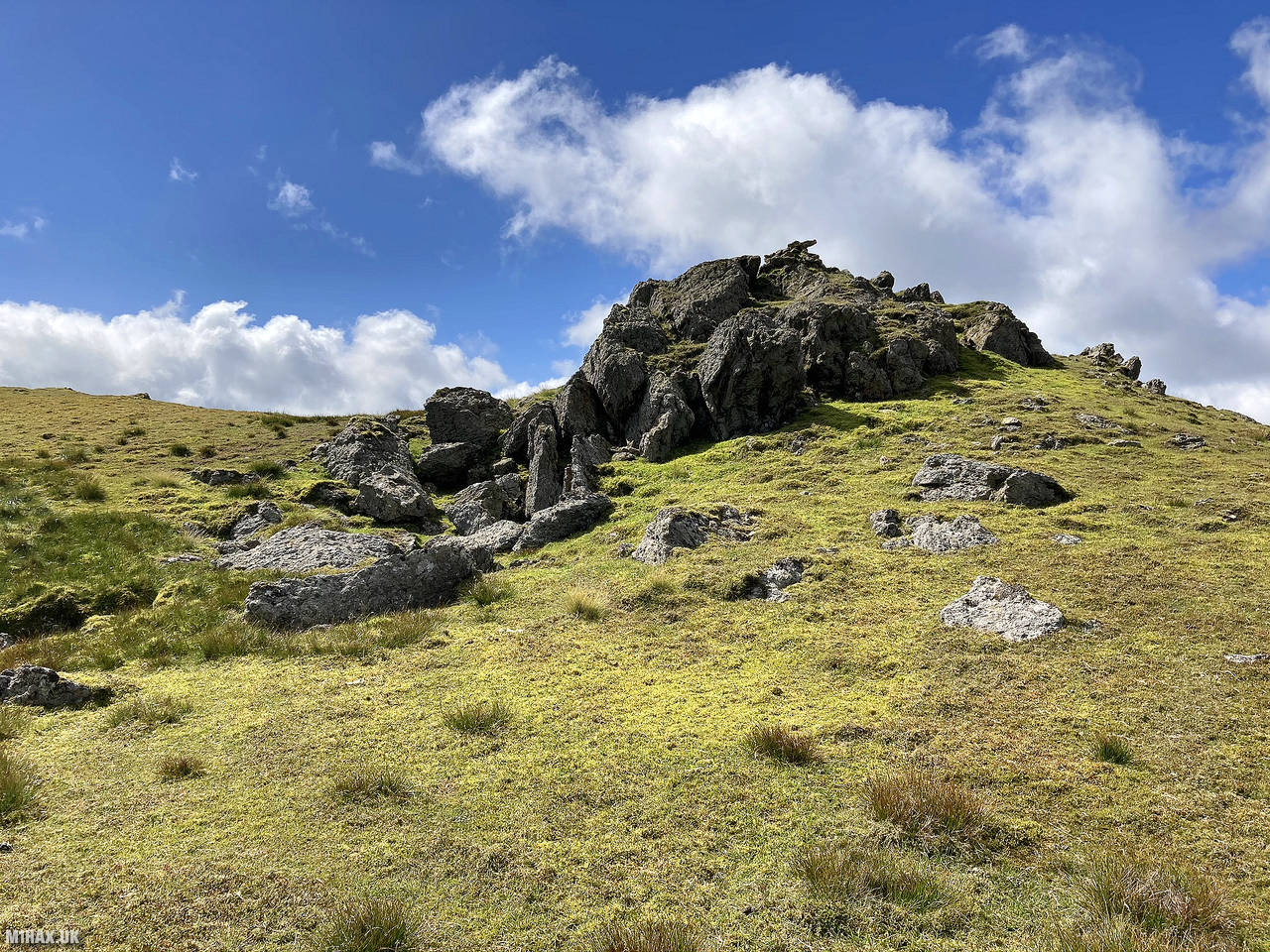
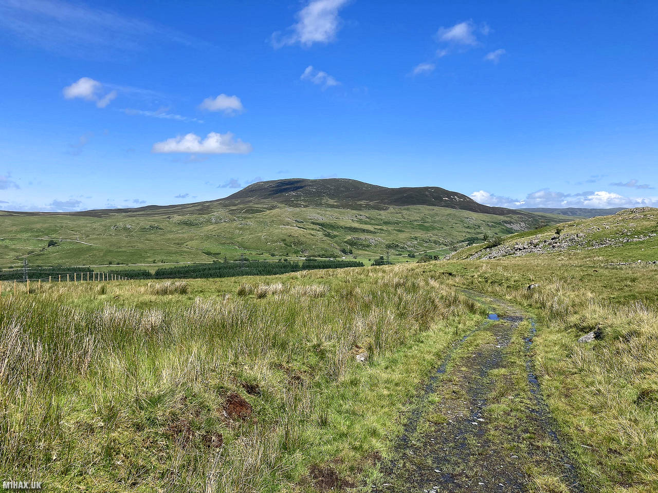
Moel Llyfnant, located in the southern part of Snowdonia National Park, Gwynedd, Wales, is a notable peak within the Arenig mountain range. Its summit features rocky outcrops, and atop one of them sits a small cairn marking the highest point.
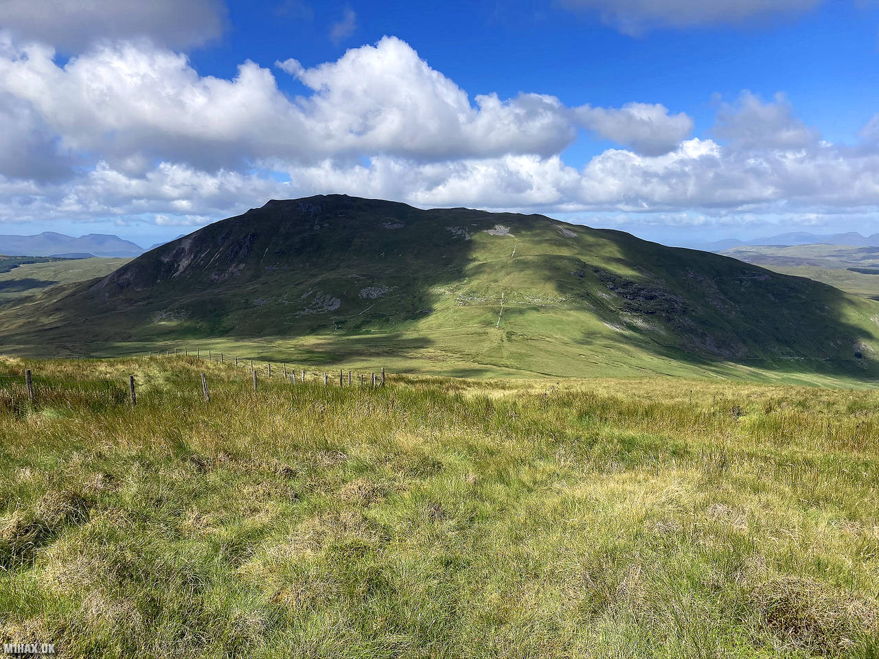
For this activation, I was including this summit in a circular walk, and began the journey to Moel Llyfnant from the summit of the neighbouring Arenig Fawr.
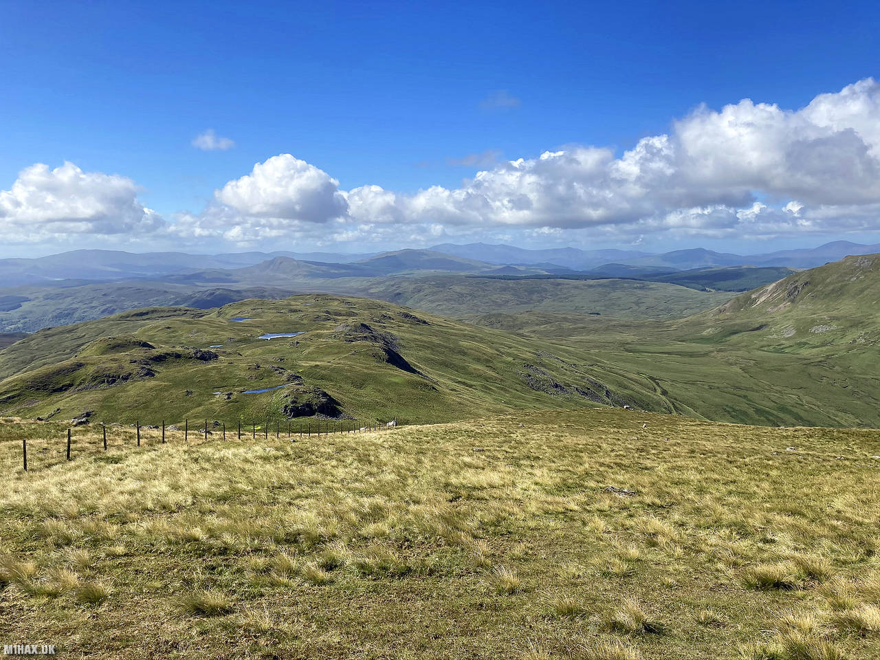
After following the ridge south towards Craig Y Bychau, I followed the faint grassy path due west, across a boggy plateau. An ascent of about 200 metres was then completed, which delivered me to the summit.
From the summit I set up my Yaesu FTM100D and activated the hill with ease. I managed to make three summit to summit contacts while operating.
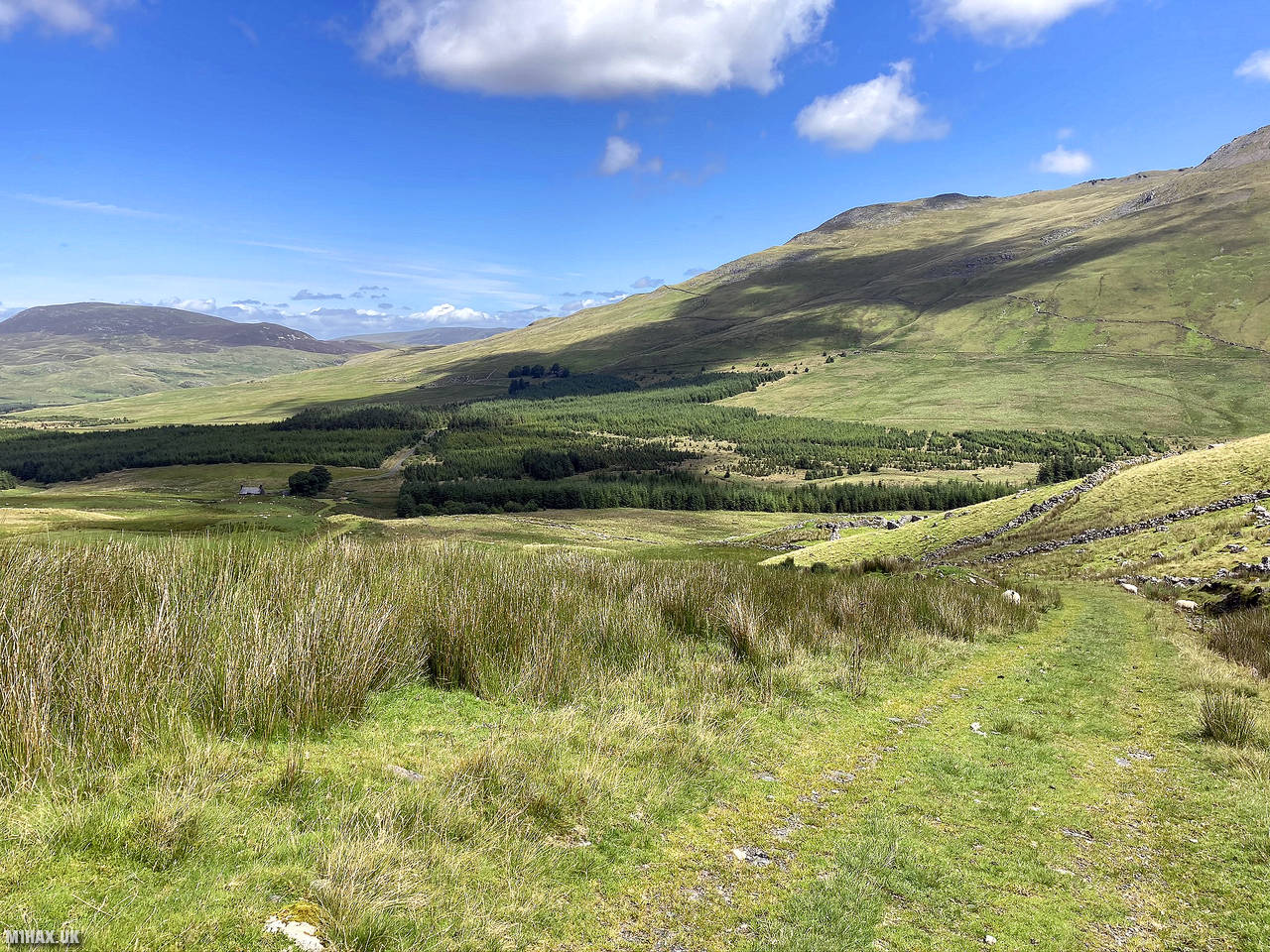
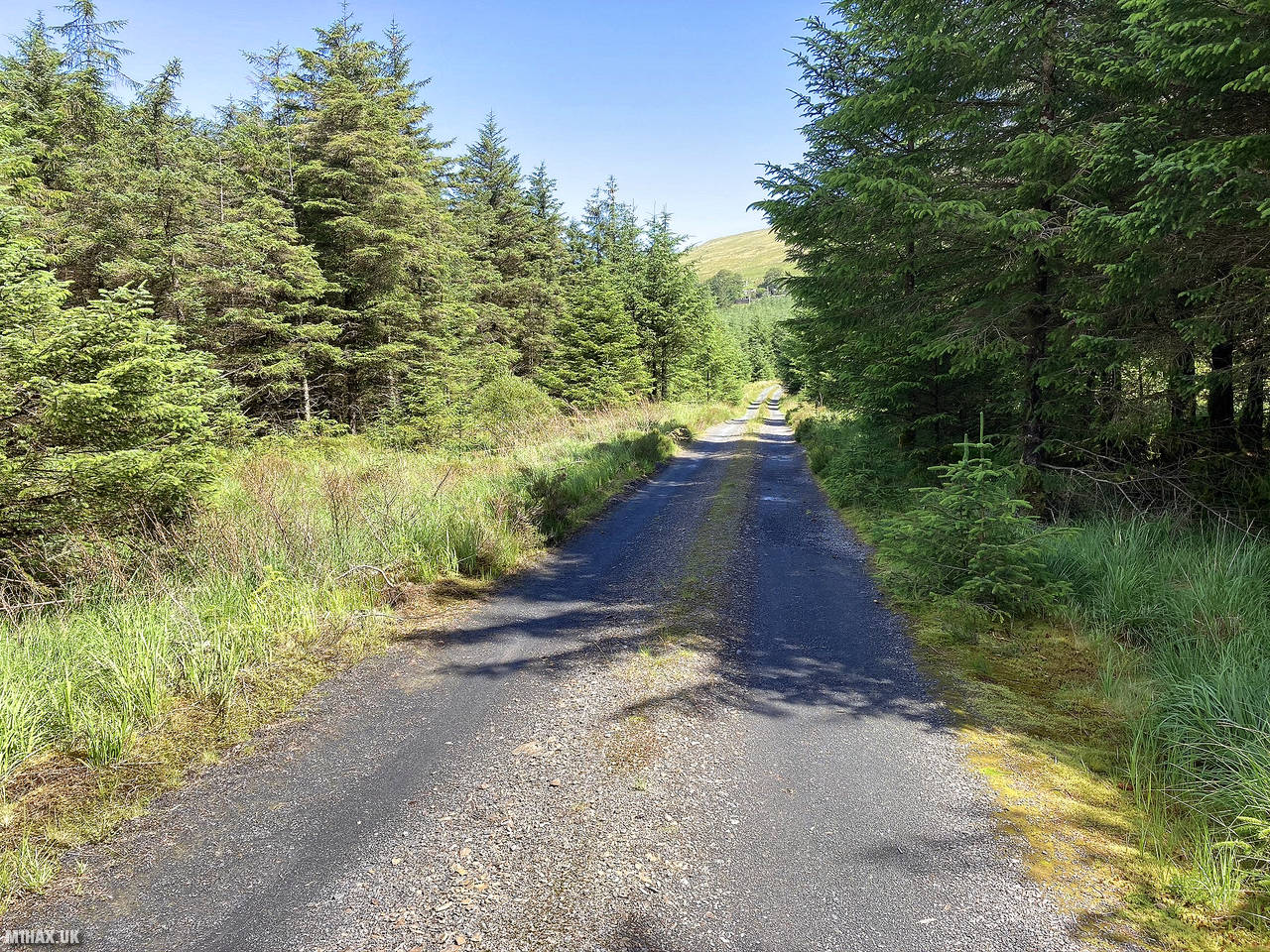
After completing the activation, I headed off the hill following a faint path to the north. Picking up a forest track I would complete my circular walk and return back towards the car.
This is a very picturesque area and I would certainly recommend this circular walking route around within the Arenigs.
Photos
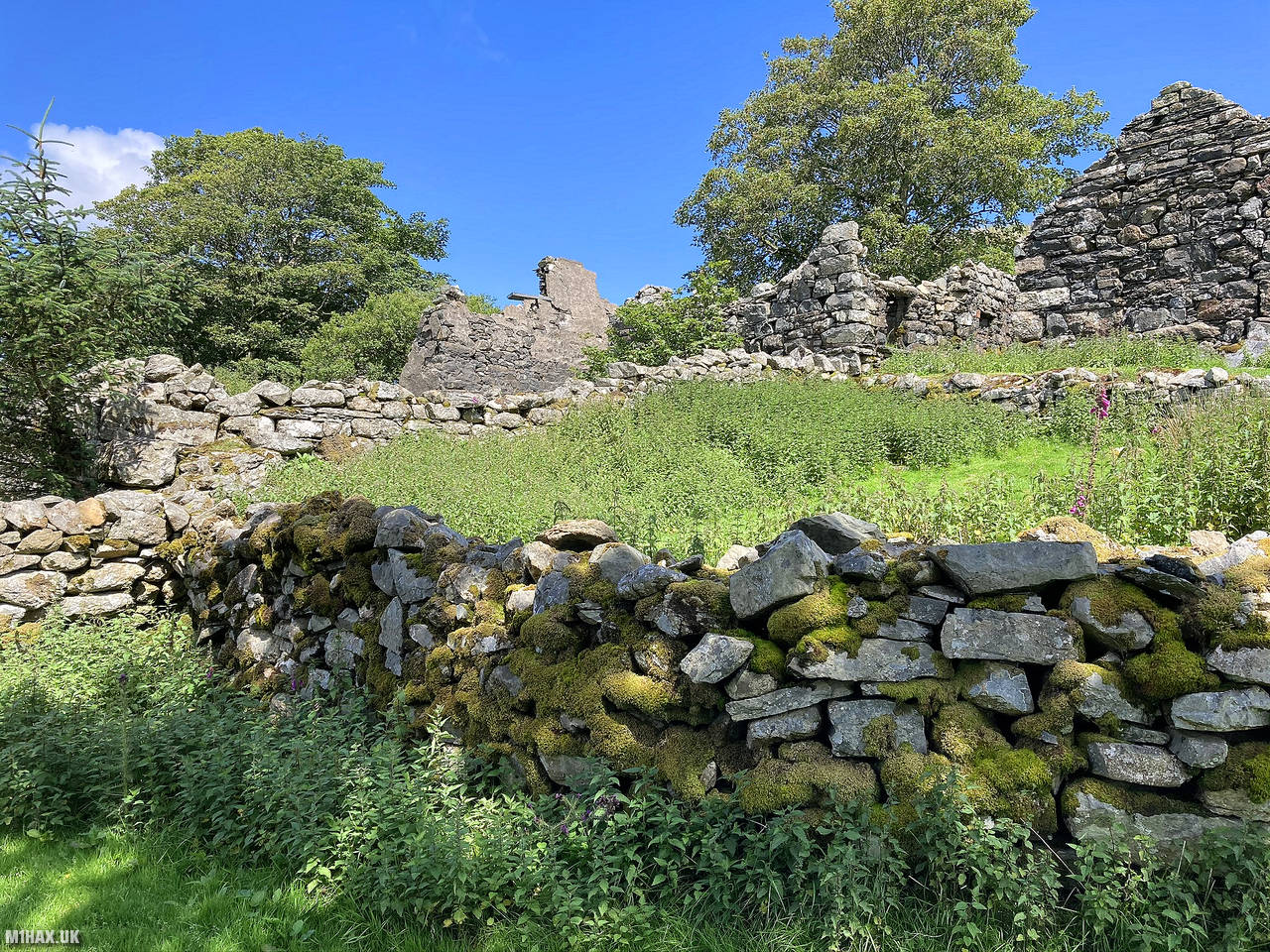
Below are some photographs taken during my activation of Moel Llyfnant on Sunday 19th July, 2020.


Walking Route for Moel Llyfnant
The interactive map below shows my GPS track taken to the SOTA activation zone for Moel Llyfnant. Note that this summit was activated as part of a multi-summit hike and the map below shows the full route taken on the day. The GW/NW-018 summit area is marked on the map with a blue pin icon.
You can download the route shown above as a GPX file suitable for use with most GPS devices. This file is provided for information only, to support your own walk planning and research (it may contain navigation errors, detours and/or safety hazards). The route downloads provided here are governed by the Creative Commons BY-NC-SA 4.0 licence.
Station Log
I logged the following 10 amateur radio contacts operating as MW1HAX/P from GW/NW-018 Moel Llyfnant on Sunday 19th July, 2020 (all times shown are UTC):
| Time | Callsign | Band | Mode | Notes |
|---|---|---|---|---|
| 10:27 | MW0XOT/P | 2m | FM | John, 5/8, S2S GW/SW-018 |
| 10:29 | GW4TQE/P | 2m | FM | John, 5/9, S2S GW/MW-030 |
| 10:31 | MW0WMW | 2m | FM | Mike, 5/9 |
| 10:32 | MW0PAD | 2m | FM | Paddy, 5/9 |
| 10:33 | 2W0NXV/P | 2m | FM | Brian, 5/7 |
| 10:34 | MW0OFA | 2m | FM | Frank, 5/9 |
| 10:35 | M0NOM/P | 2m | FM | Mark, 5/9 |
| 10:43 | MW7AQX/P | 2m | FM | Robin, 5/9 |
| 10:49 | M7VIS | 2m | FM | John, 5/7 |
| 10:50 | M3TMX/P | 2m | FM | Jordan, 5/4, S2S G/WB-009 |
In the notes field I will usually log the other operator’s name and the signal report they provided. In accordance with the Summits on the Air rules, I do not make a log entry where a complete exchange of callsigns and signal reports was unsuccessful.
Additional Information
The following resources may be helpful to walkers, mountaineers and SOTA activators interested in Moel Llyfnant:
- Sotl.as Summit Page for GW/NW-018 Moel Llyfnant.
- Hill Bagging UK Summit Page for Moel Llyfnant.
- Google Maps Page for Moel Llyfnant.
- Wikipedia entry for Moel Llyfnant.
- 360° Panorama near summit of GW/NW-018 Moel Llyfnant.
If you found this content valuable, why not Buy Me a Coffee?