Mynydd Nodol - GW/NW-048 SOTA (2020)

Summits on the Air Activation Report
Activation Date: Sunday 19th July, 2020.
Activator(s): Richard M1HAX.
Summit: Mynydd Nodol, North Wales, Wales.
Summit ID: SOTA reference GW/NW-048 (2 points).
Summit Height: 539m elevation, 168m prominence.
Summit Location: Lat./Long. 52.93946, -3.69017. Maidenhead Grid IO82dw.
Distance: 2.9km travelled with 200m of ascent.
Difficulty: SAC Grade T1.(?)
Elapsed Time: 1hr 15m (including operating).
Weather: Feels like 15.0°C, 11 kph NNW wind, 55% humidity.
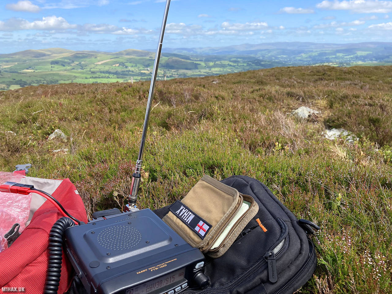
Radio Equipment: Yaesu FTM100D, MFJ-1714, Zippy 4200mAh 4S LiFePo4.
Callsign Used: MW1HAX/P.
Contacts: 4 (2m FM).
Trip Notes
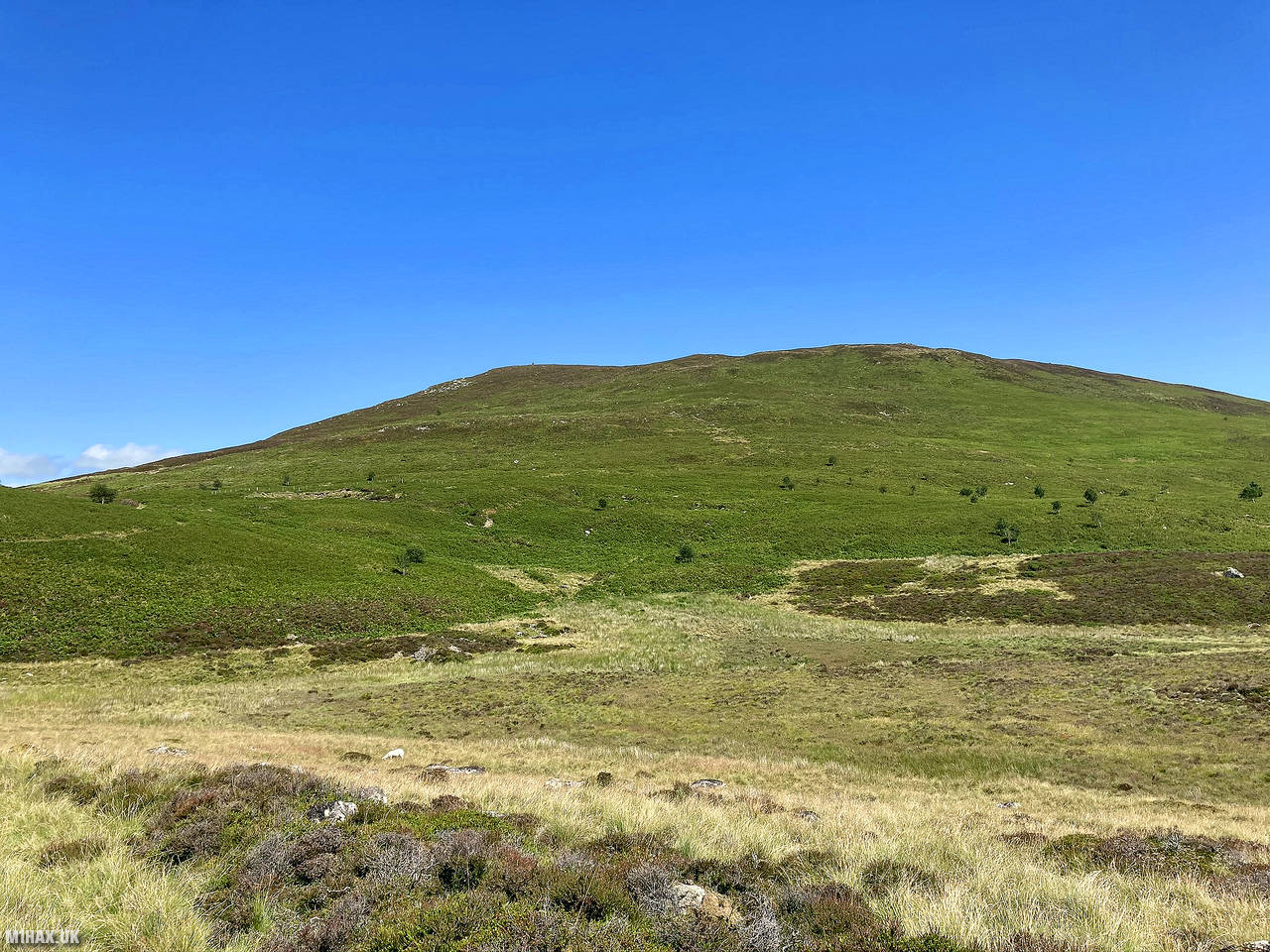
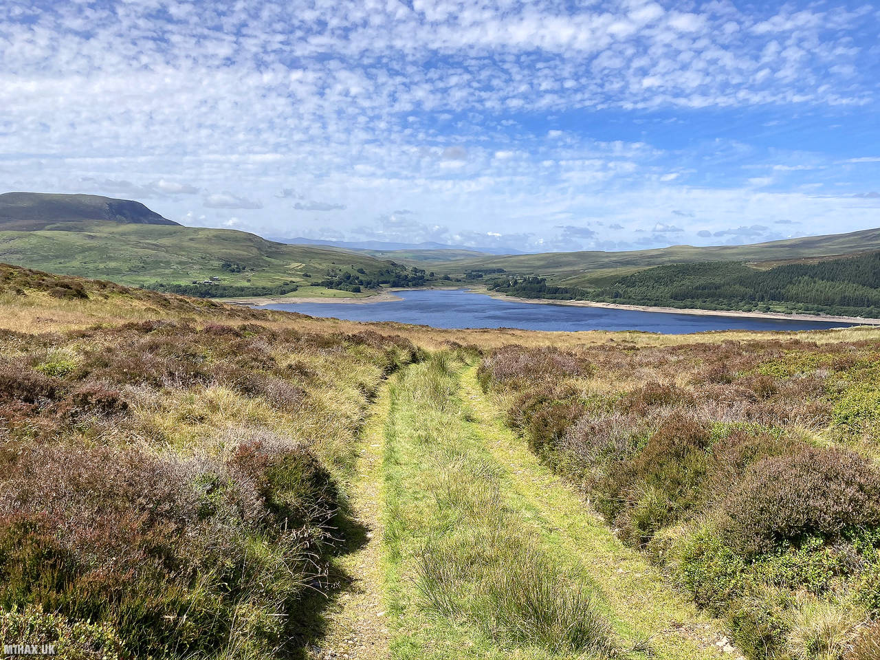
Mynydd Nodol, a 539m hill in Snowdonia National Park, Gwynedd, Wales, offers scenic views across the Arenigs. It features mining remnants and lies near Llyn Celyn, northeast of Arenig Fawr.
I activated this small and relatively easy 1-point SOTA hill while on a weekend trip activating summits in the vicinity of Llyn Celyn.
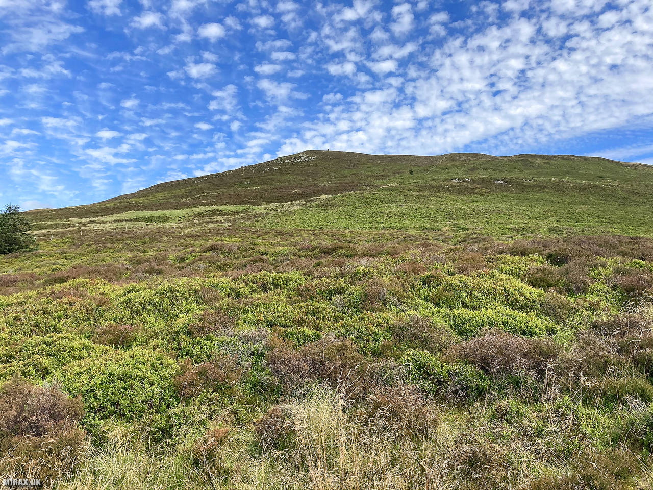
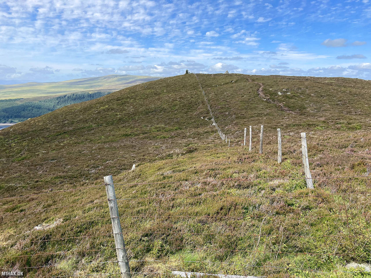
I approached from the minor road to the west of the summit. Initially an easy track leads on to the hillside, however this has to be left behind to bash through deep heather up about 70 metres of climbing direct to the summit.
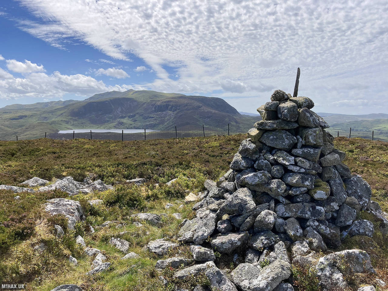
Eventually the less overgrown summit is gained and I made the short walk over to the summit where a large cairn lies.
I made four VHF contacts before retracing my route back down to the road. There is a path which approaches from the eastern side of the hill, which although a longer walk, is probably a better route choice.
Photos
Below are some photographs taken during my activation of Mynydd Nodol on Sunday 19th July, 2020.


Walking Route for Mynydd Nodol
The interactive map below shows my GPS track taken to the SOTA activation zone for Mynydd Nodol. The GW/NW-048 summit area is marked on the map with a blue pin icon.
You can download the route shown above as a GPX file suitable for use with most GPS devices. This file is provided for information only, to support your own walk planning and research (it may contain navigation errors, detours and/or safety hazards). The route downloads provided here are governed by the Creative Commons BY-NC-SA 4.0 licence.
Station Log
I logged the following 4 amateur radio contacts operating as MW1HAX/P from GW/NW-048 Mynydd Nodol on Sunday 19th July, 2020 (all times shown are UTC):
| Time | Callsign | Band | Mode | Notes |
|---|---|---|---|---|
| 13:52 | MW0WMW | 2m | FM | Mike, 5/5 |
| 13:55 | MW0OFA | 2m | FM | Frank, 5/4 |
| 13:55 | M1FHM | 2m | FM | Alan, 5/2 |
| 13:58 | GW4VPX | 2m | FM | Allan, 5/5 |
In the notes field I will usually log the other operator’s name and the signal report they provided. In accordance with the Summits on the Air rules, I do not make a log entry where a complete exchange of callsigns and signal reports was unsuccessful.
Additional Information
The following resources may be helpful to walkers, mountaineers and SOTA activators interested in Mynydd Nodol:
- Sotl.as Summit Page for GW/NW-048 Mynydd Nodol.
- Hill Bagging UK Summit Page for Mynydd Nodol.
- Google Maps Page for Mynydd Nodol.
- Wikipedia entry for Mynydd Nodol.
- 360° Panorama near summit of GW/NW-048 Mynydd Nodol.
If you found this content valuable, why not Buy Me a Coffee?